Drinkstone Lake
Lake, Pool, Pond, Freshwater Marsh in Suffolk Mid Suffolk
England
Drinkstone Lake
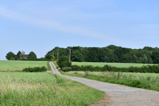
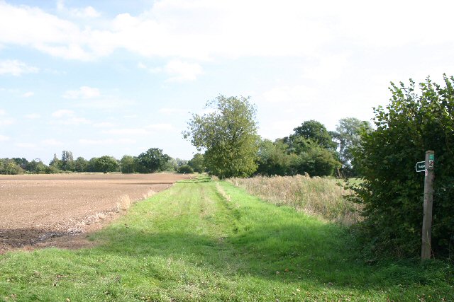
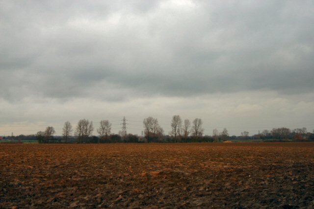
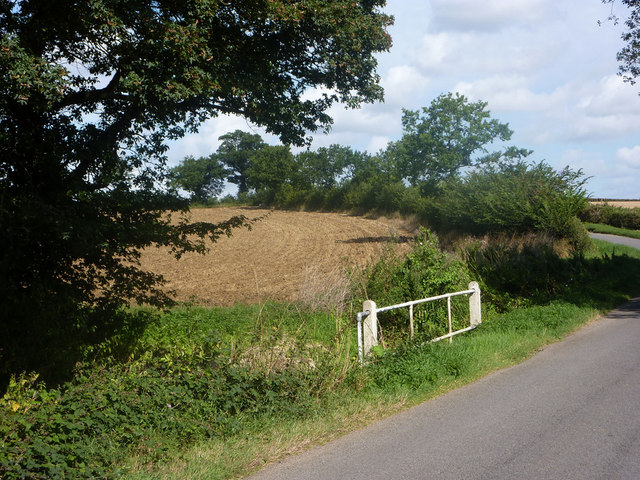
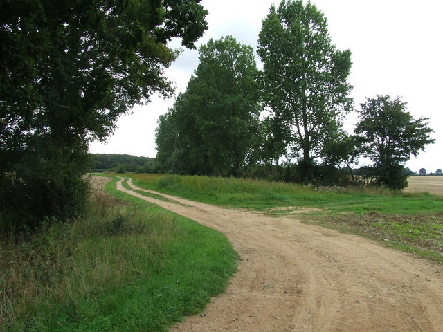
Drinkstone Lake is a picturesque freshwater feature located in Suffolk, England. Spanning an area of approximately 10 acres, it is often referred to as a lake, although it can also be classified as a pool, pond, or freshwater marsh due to its diverse characteristics.
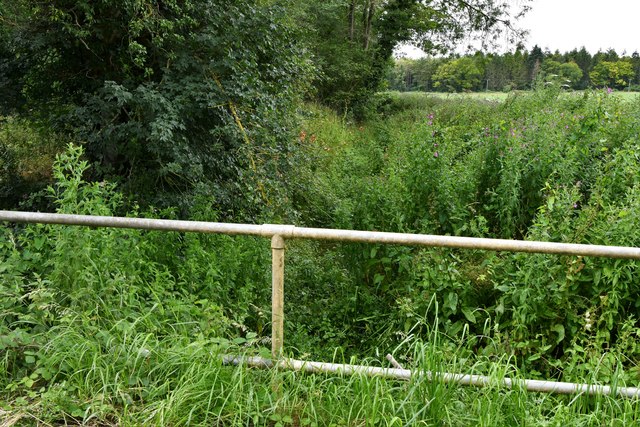
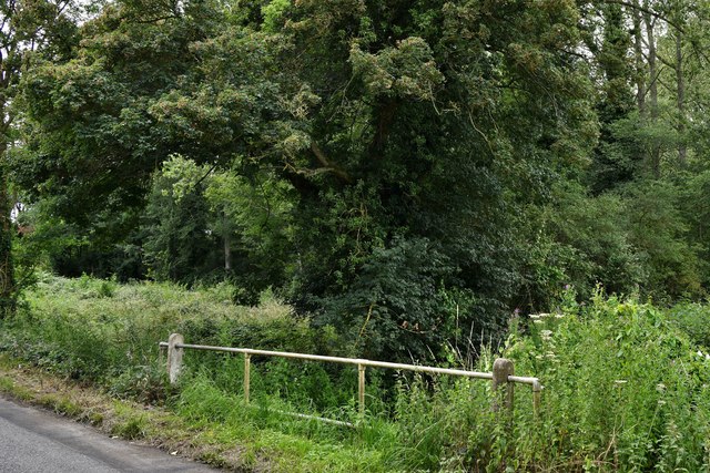
The lake is nestled amidst stunning natural surroundings, enveloped by lush greenery and a variety of native flora. It serves as a home to numerous species of aquatic plants, including water lilies, reeds, and rushes, which contribute to its vibrant ecosystem. These plants provide shelter and food for an array of wildlife, such as ducks, swans, moorhens, and dragonflies, creating a haven for nature enthusiasts and birdwatchers alike.
Drinkstone Lake is known for its crystal-clear waters, which are replenished by natural springs and rainfall. The lake's depth varies, with some areas being shallow and others reaching depths of up to 10 meters. Its calm and serene ambiance makes it an ideal spot for fishing, attracting anglers looking to catch species like carp, roach, and perch.
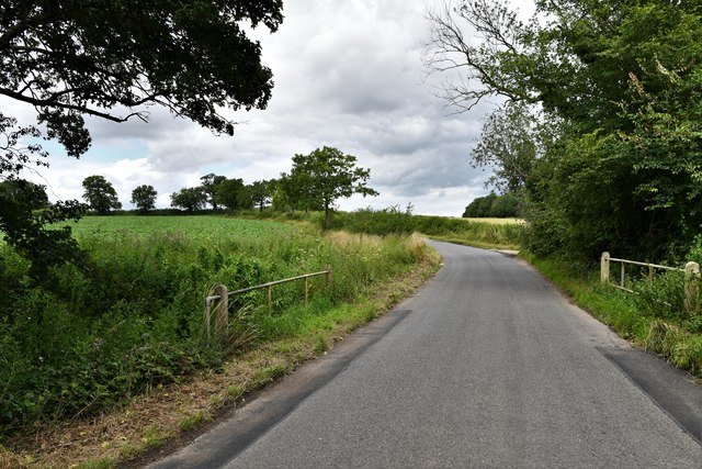
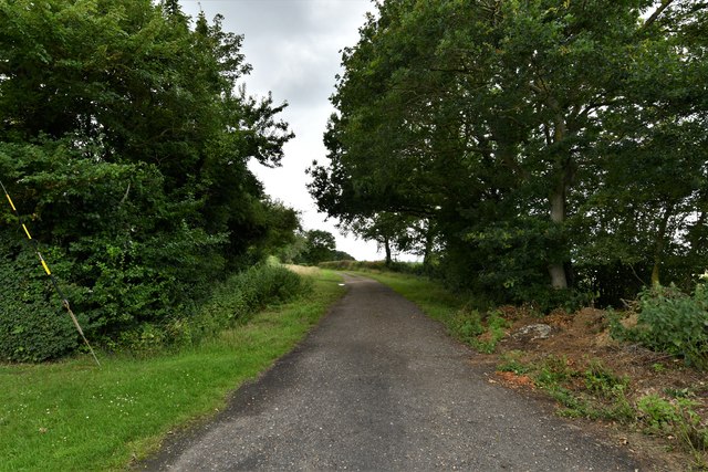
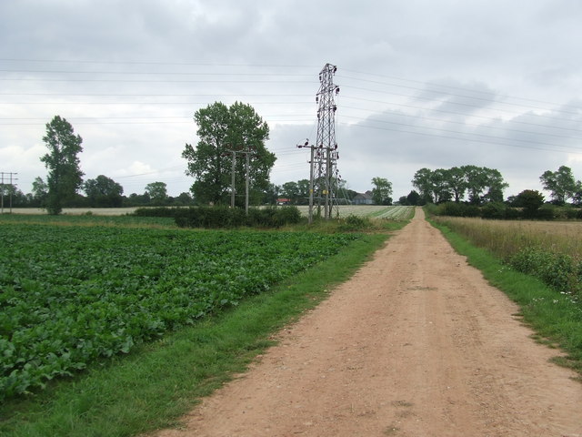
Surrounding the lake is a well-maintained footpath, allowing visitors to take leisurely strolls and admire the scenic beauty. Additionally, there are designated picnic areas that provide a perfect setting for enjoying a peaceful outdoor lunch with family and friends.
Overall, Drinkstone Lake in Suffolk offers a harmonious blend of natural beauty, biodiversity, and recreational opportunities. Whether it be for a peaceful walk, birdwatching, angling, or simply immersing oneself in the tranquility of nature, this freshwater feature caters to a wide range of interests and provides a delightful experience for all who visit.
If you have any feedback on the listing, please let us know in the comments section below.
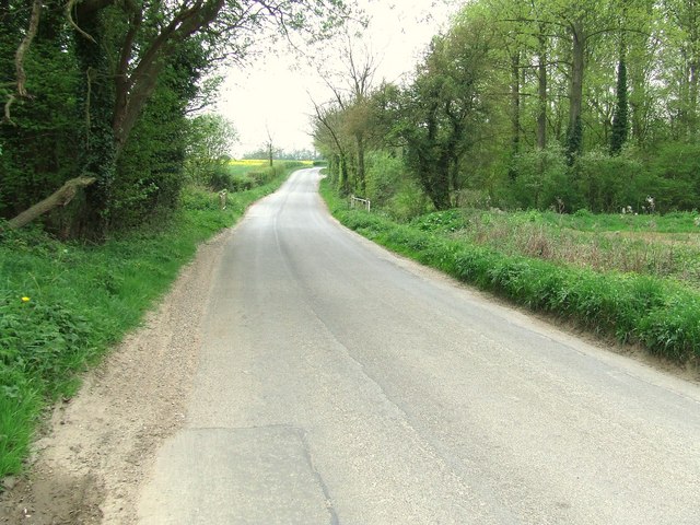
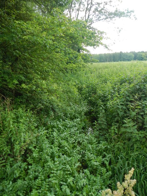
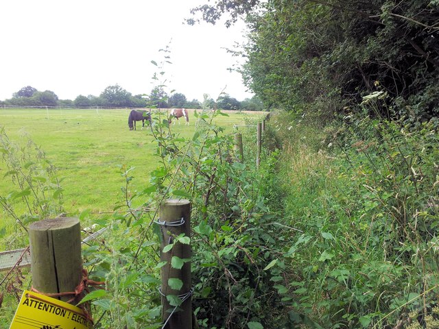
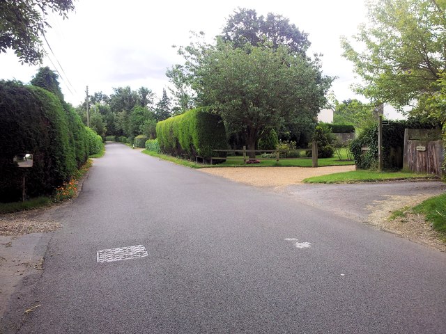
Drinkstone Lake Images
Images are sourced within 2km of 52.213694/0.85000349 or Grid Reference TL9461. Thanks to Geograph Open Source API. All images are credited.
Drinkstone Lake is located at Grid Ref: TL9461 (Lat: 52.213694, Lng: 0.85000349)
Administrative County: Suffolk
District: Mid Suffolk
Police Authority: Suffolk
What 3 Words
///makeovers.honest.cakes. Near Woolpit, Suffolk
Nearby Locations
Related Wikis

Drinkstone
Drinkstone is a small settlement and civil parish in Suffolk, England. Its name is derived from Dremic's homestead. It was located in the hundred of Thedwastre...

Hessett
Hessett is a village and civil parish in the Mid Suffolk district of Suffolk in eastern England. Hessett is located around four miles south east of Bury...

Woolpit Green
Woolpit Green is a hamlet in Suffolk, England near the village of Woolpit. == External links == Media related to Woolpit Green at Wikimedia Commons

Beyton
Beyton is a village and civil parish in the Mid Suffolk district of the English county of Suffolk. The village is around 8 miles (13 km) east of Bury St...
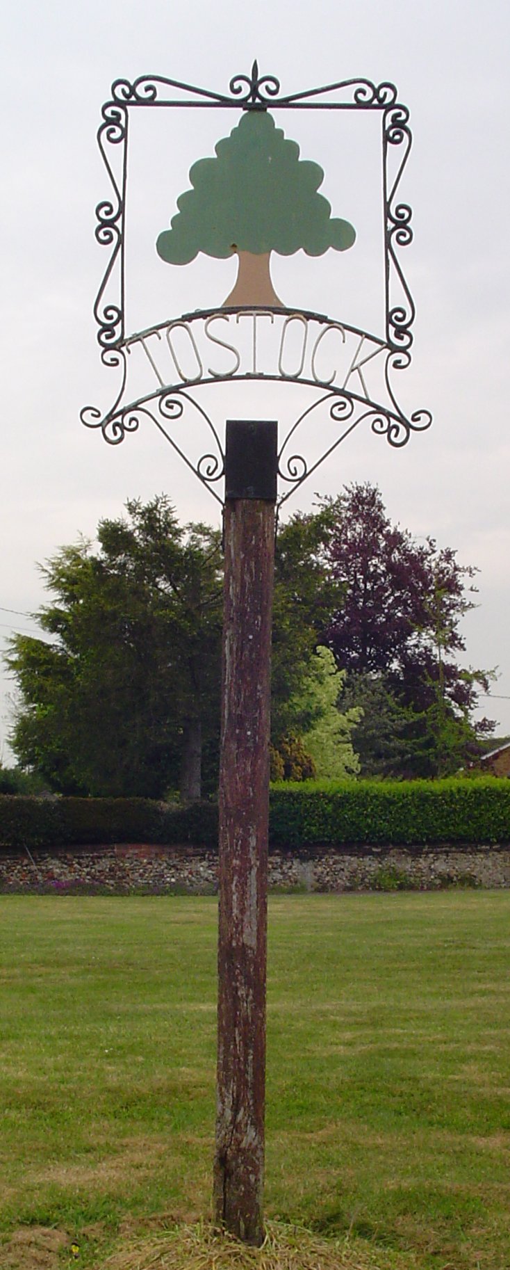
Tostock
Tostock is a small village around eight miles east of Bury St. Edmunds in the county of Suffolk. It is a very traditional Suffolk village, with a good...

Tostock Park
During the Second World War Tostock Park was a sub-station of the United States Army Air Force, located in Tostock, near Bury St Edmunds, Suffolk. It was...

Woolpit Heath
Woolpit Heath is a hamlet in Suffolk, England near the village of Woolpit.

Woolpit
Woolpit ( WUUL-pit) is a village in the English county of Suffolk, midway between the towns of Bury St. Edmunds and Stowmarket. In 2011 Woolpit parish...
Related Videos


Rougham International Airfield - Skyward Flight Training
BuryStEdmunds #BurysStEdmundsVlog #WeLoveBuryStEdmunds Get ready for an exciting weekend as the ONLY International ...

🇹🇷 Learning Turkish from English 🌍#türkçe #turkishjourney #turkishforbeginners #turkishforforeigners
A fun way to practice Turkish together! From American English to TR. Jenon, a foreign language enthusiast, has taken up the ...
Nearby Amenities
Located within 500m of 52.213694,0.85000349Have you been to Drinkstone Lake?
Leave your review of Drinkstone Lake below (or comments, questions and feedback).