Pointers Lake
Lake, Pool, Pond, Freshwater Marsh in Norfolk North Norfolk
England
Pointers Lake
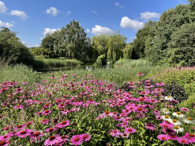
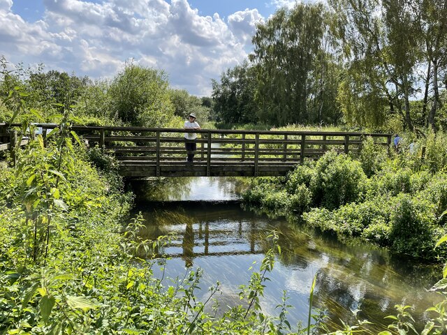
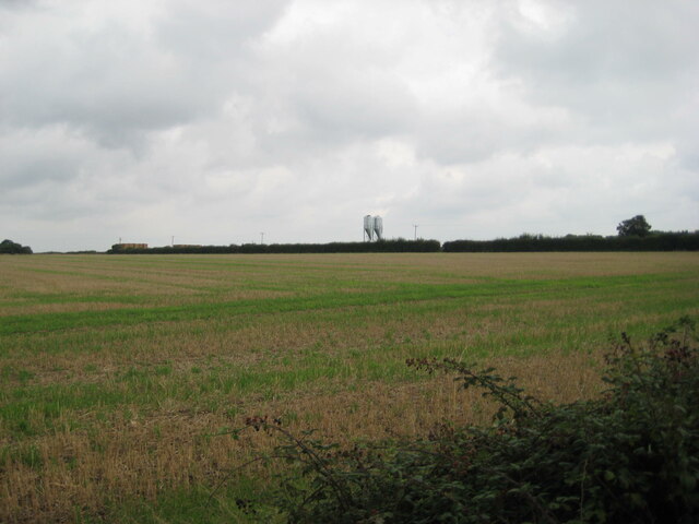
Pointers Lake is a picturesque freshwater body located in Norfolk, England. As its name suggests, the lake is shaped like a pointer, with a long, narrow form that stretches across the landscape. It is bounded by lush greenery, offering a tranquil and idyllic setting for visitors.
Covering an area of approximately 20 acres, Pointers Lake is a popular destination for both locals and tourists. Its crystal-clear waters are home to a diverse range of aquatic species, making it a haven for nature enthusiasts and birdwatchers. The lake supports a thriving ecosystem, with numerous fish species such as perch, roach, and pike, attracting anglers seeking a peaceful fishing experience.
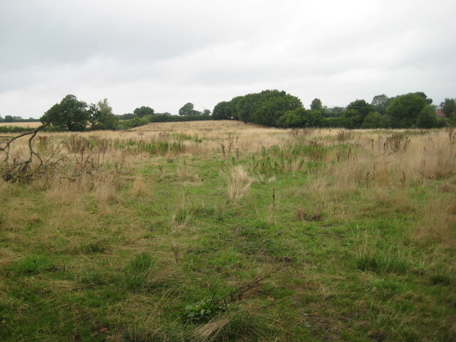
Surrounding the lake, visitors will find a variety of habitats, including marshes, pools, and ponds. These habitats provide a home for various wildlife, including waterfowl, amphibians, and insects. The presence of these habitats also contributes to the overall beauty and biodiversity of the area.
Pointers Lake offers recreational activities for all ages. Boating and kayaking are popular pastimes, allowing visitors to explore the serene waters and admire the surrounding landscape. The lake is also suitable for swimming, with designated areas ensuring the safety of bathers.
The scenic beauty of Pointers Lake, combined with its diverse wildlife and recreational opportunities, makes it a must-visit destination for anyone seeking a peaceful escape in the heart of Norfolk. Whether it's fishing, birdwatching, or simply enjoying the tranquility of the surroundings, Pointers Lake offers a truly memorable experience for nature lovers and outdoor enthusiasts alike.
If you have any feedback on the listing, please let us know in the comments section below.
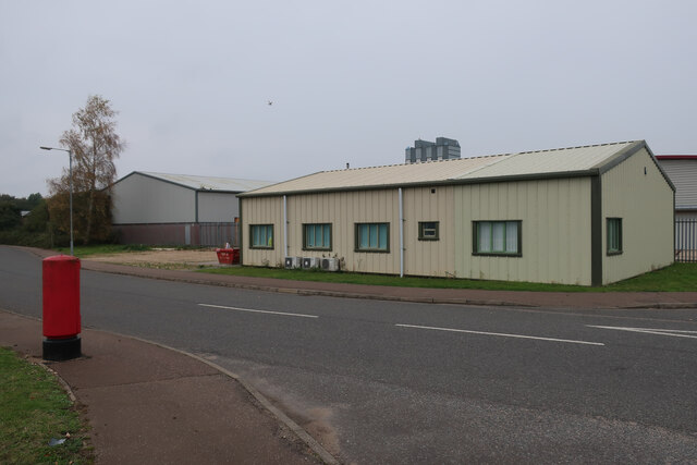
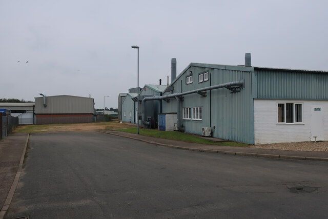
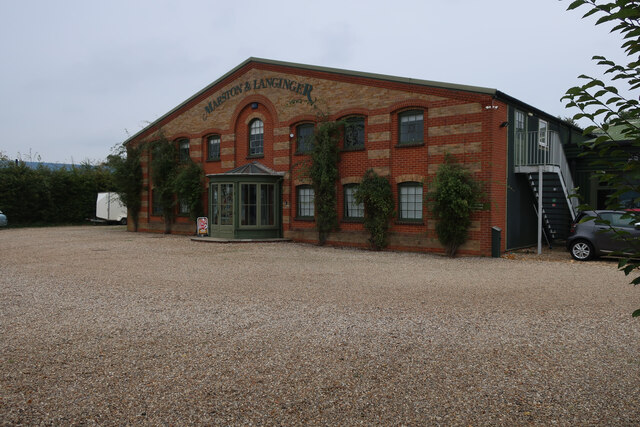
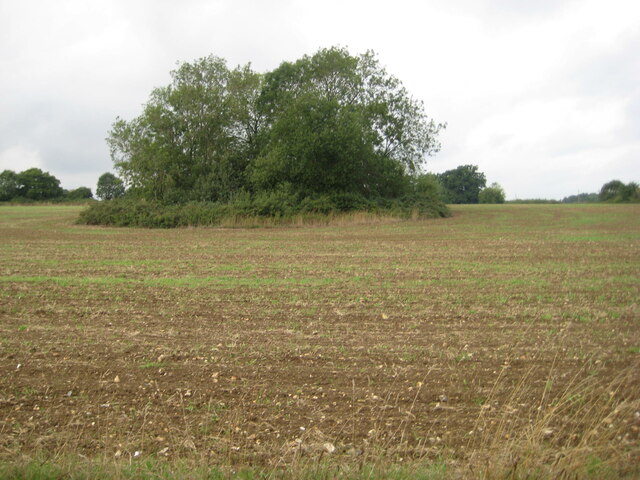
Pointers Lake Images
Images are sourced within 2km of 52.821884/0.8883241 or Grid Reference TF9428. Thanks to Geograph Open Source API. All images are credited.
Pointers Lake is located at Grid Ref: TF9428 (Lat: 52.821884, Lng: 0.8883241)
Administrative County: Norfolk
District: North Norfolk
Police Authority: Norfolk
What 3 Words
///amplified.afford.district. Near Fakenham, Norfolk
Nearby Locations
Related Wikis
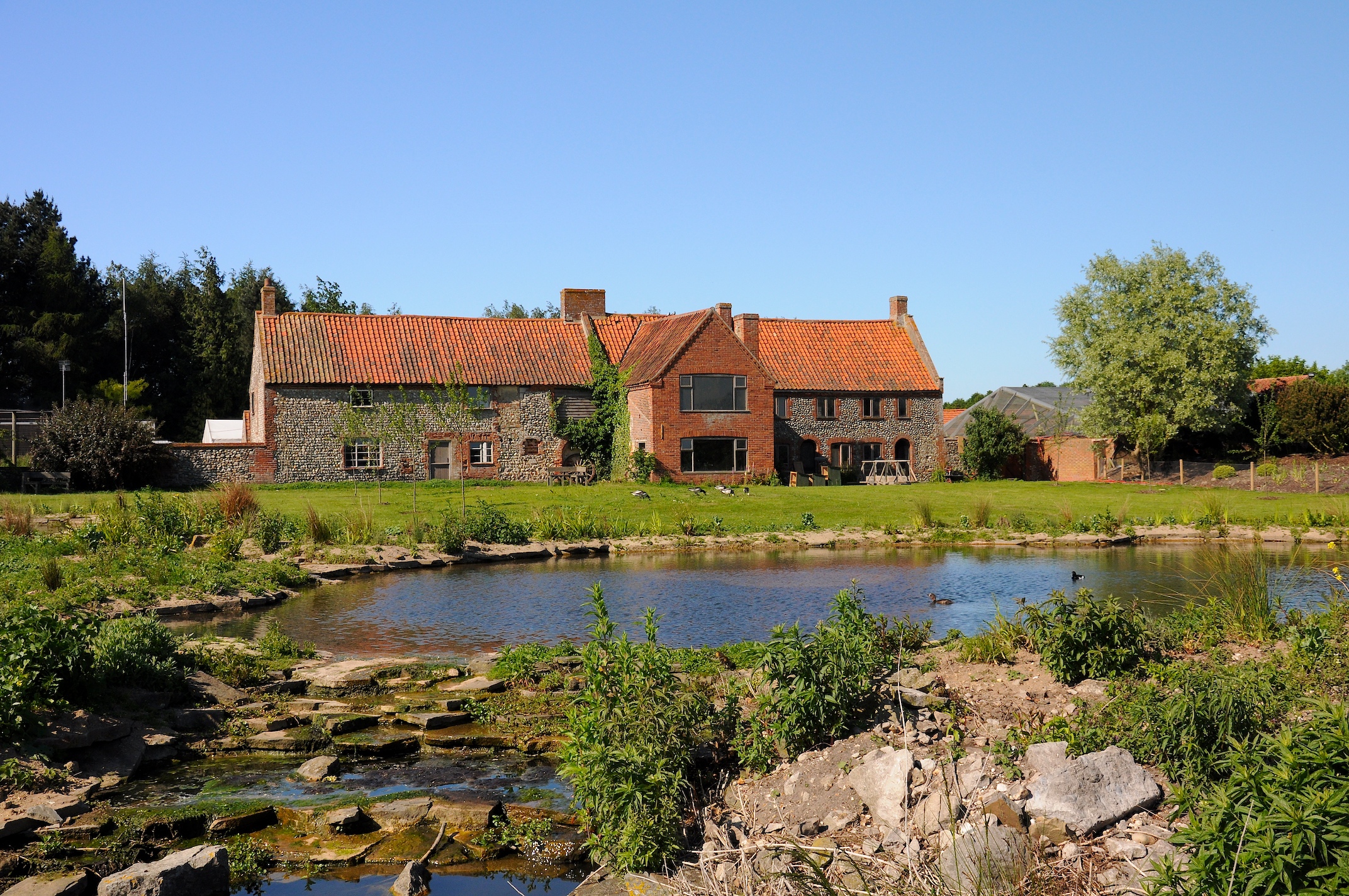
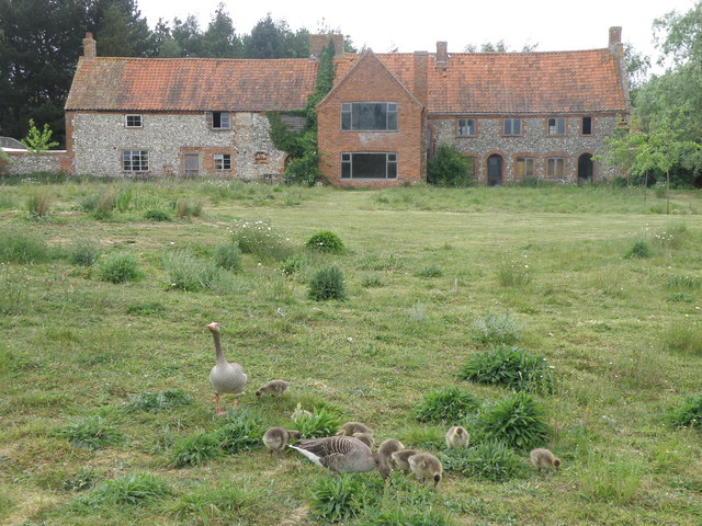
Pensthorpe Natural Park
Pensthorpe Natural Park is located in Pensthorpe, Norfolk, England and is approximately one mile from Fakenham and close to the A1067 road. The park covers...

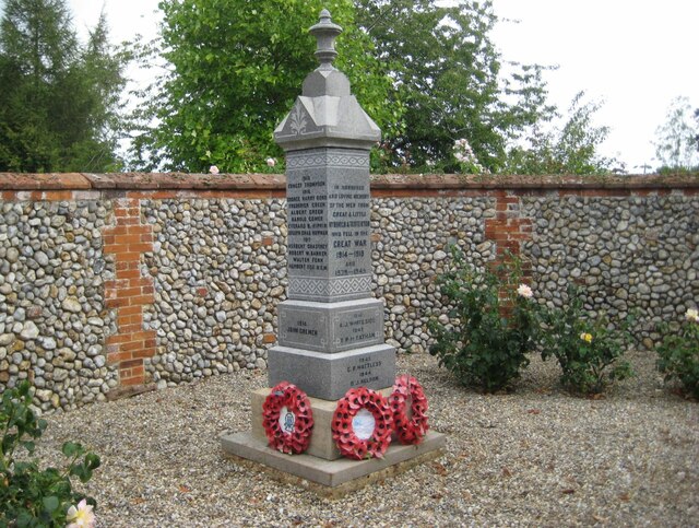
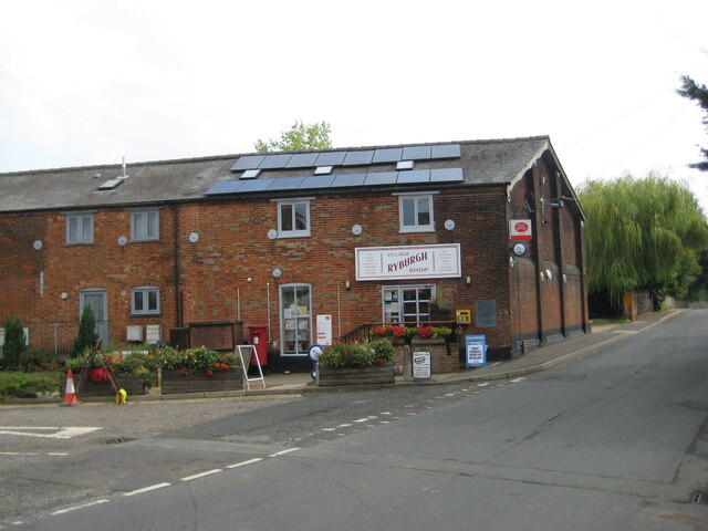
Great Ryburgh
Great Ryburgh is a village and former civil parish, now in the parish of Ryburgh, in the North Norfolk district, in the county of Norfolk, England. In...

Ryburgh railway station
Ryburgh railway station was a railway station in the village of Great Ryburgh in the English county of Norfolk. == History == The station opened in 1849...

Ryburgh
Ryburgh is a civil parish in the English county of Norfolk. The parish is 21.2 miles (34.1 km) south-west of Cromer, 23.1 miles (37.2 km) north-west of...

Fakenham East railway station
Fakenham East railway station was a railway station in the market town of Fakenham in the English county of Norfolk. The station was opened by the Norfolk...

Fakenham Racecourse
Fakenham Racecourse is a thoroughbred horse racing venue located south of Fakenham, Norfolk, England. King Charles III is patron. == Course == The course...
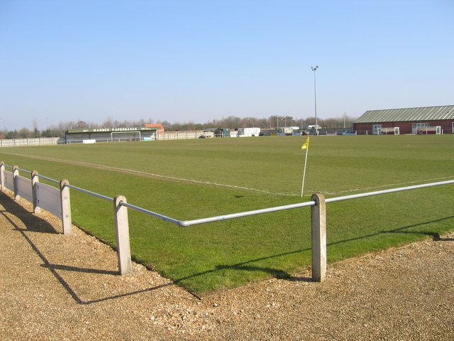
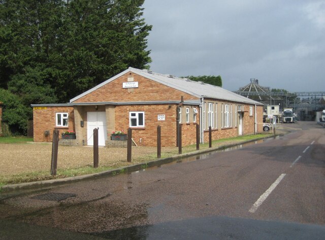
Fakenham Town F.C.
Fakenham Town Football Club is a football club based in Fakenham, Norfolk, England. Affiliated to the Norfolk County Football Association, they are currently...

Testerton
Testerton is a small village and former civil parish, now in the parish of Pudding Norton, in the North Norfolk district, in the county of Norfolk, England...
Nearby Amenities
Located within 500m of 52.821884,0.8883241Have you been to Pointers Lake?
Leave your review of Pointers Lake below (or comments, questions and feedback).