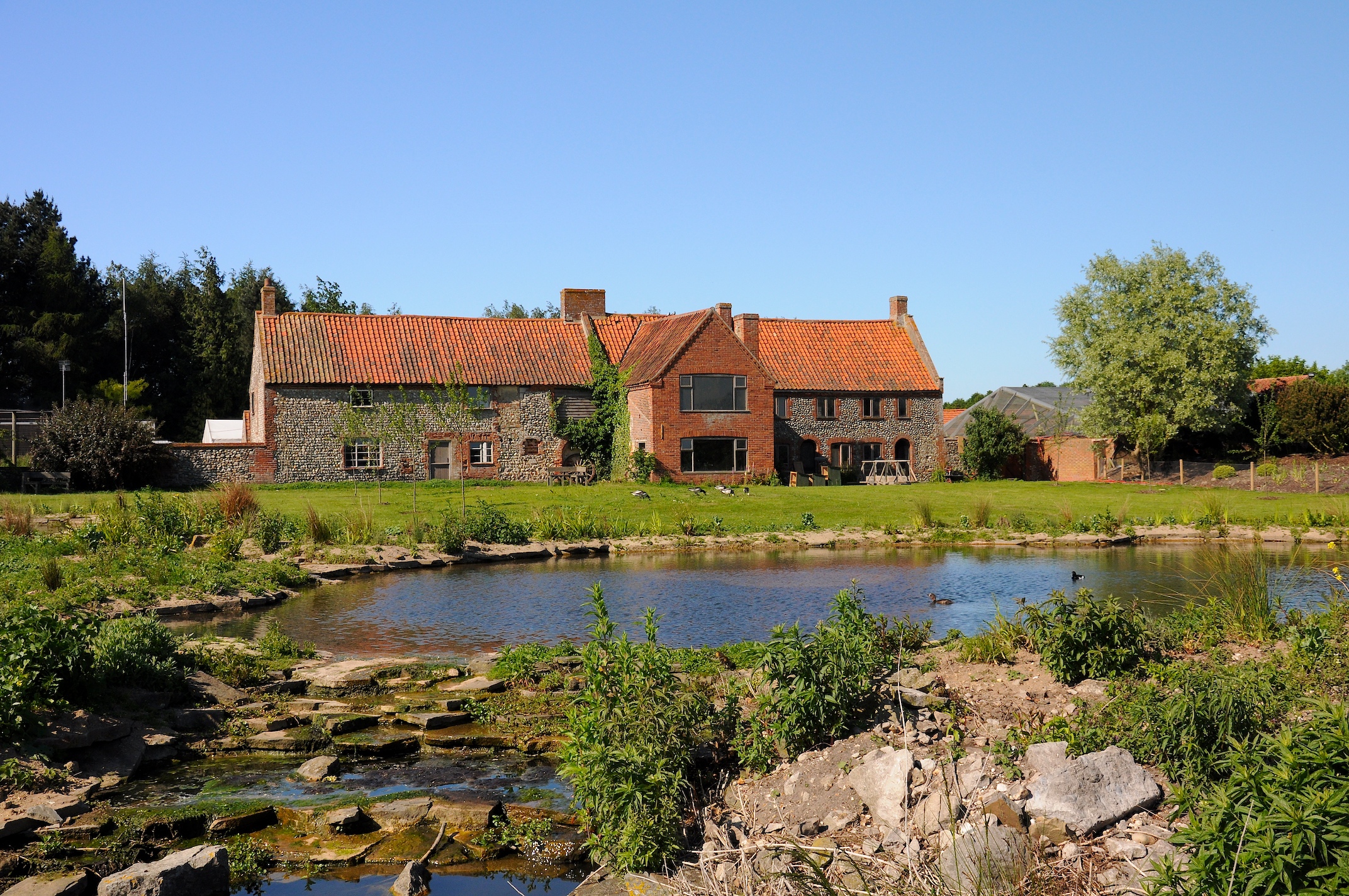
Porters Lake

Lake, Pool, Pond, Freshwater Marsh in Norfolk North Norfolk

England

Porters Lake

Fakenham Industrial Estate
Fakenham Industrial Estate Credit: Hugh Venables

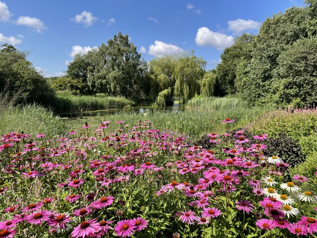
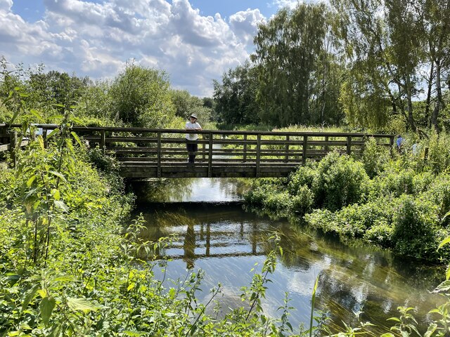
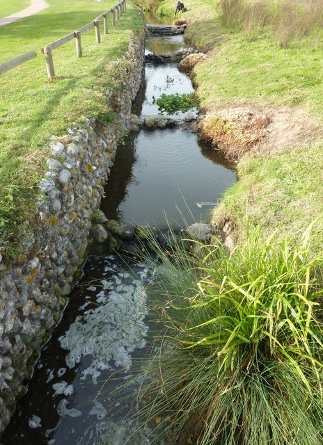
Porters Lake is a picturesque natural water body located in Norfolk, England. It serves as a diverse ecosystem, encompassing a lake, pool, pond, and freshwater marsh, making it a unique and valuable natural habitat.

The lake itself is a large body of water, covering a significant area and providing a home to various aquatic species. It is fed by several small streams and is surrounded by lush vegetation, contributing to its aesthetic appeal. The lake's calm and clear waters are suitable for recreational activities such as swimming, boating, and fishing.

Adjacent to the lake is a pool, a smaller water body connected to the main lake. This pool offers a more secluded and peaceful environment, attracting different types of waterfowl and other bird species. It provides an ideal spot for birdwatching and nature enthusiasts.

A pond can also be found in the vicinity, serving as a vital water source for numerous terrestrial and aquatic species. Its shallow nature allows for the growth of various aquatic plants, providing a breeding ground for amphibians and insects.

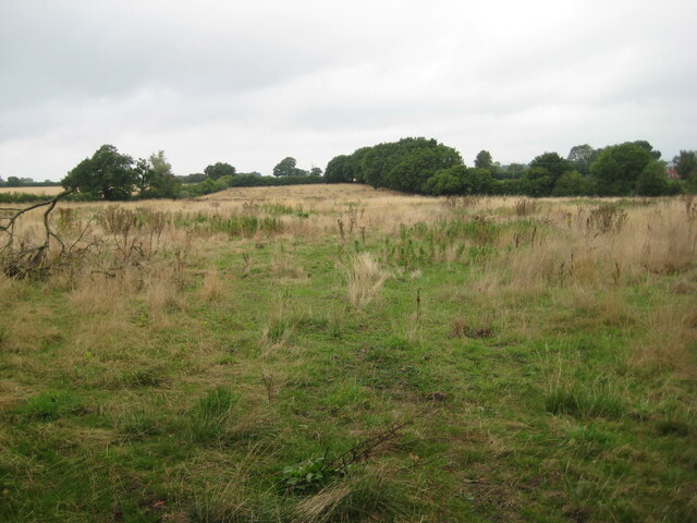
Lastly, a freshwater marsh can be observed within the area. This marshland is characterized by its wet and marshy terrain, hosting a diverse range of plant and animal life. It acts as a crucial habitat for numerous bird species and serves as a natural filtration system, improving water quality.

Overall, Porters Lake in Norfolk offers a harmonious blend of water bodies, each with its own distinct characteristics and ecological importance. Its diverse ecosystem makes it an attractive destination for nature lovers and a vital habitat for a wide array of species.

If you have any feedback on the listing, please let us know in the comments section below.
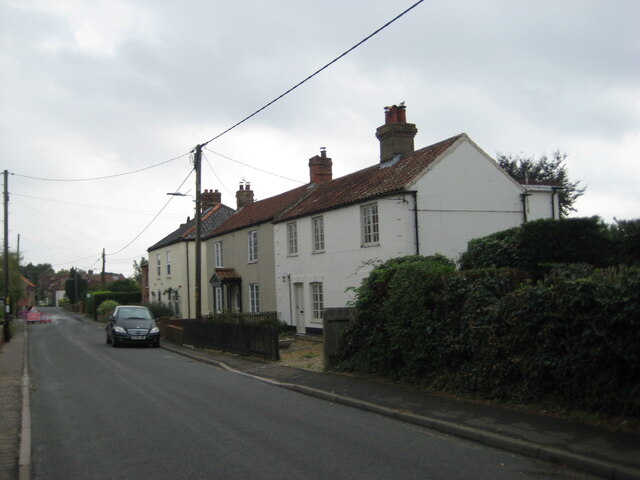
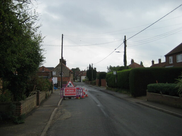
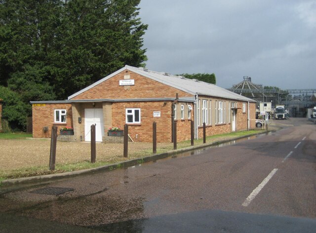
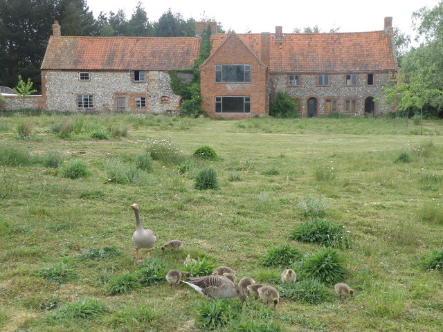
Porters Lake Images

Images are sourced within 2km of 52.823248/0.89029989 or Grid Reference TF9428. Thanks to Geograph Open Source API. All images are credited.

Fakenham Industrial Estate
The Millennium Garden, Pensthorpe Natural Park
The 'Kingfisher Bridge', Pensthorpe Natural Park
Ryburgh railway station (site), Norfolk Opened in 1849 by the Eastern Counties Railway, later part of the Great Eastern Railway, on the line from Wymondham to Wells, this station closed to passengers in 1964. Goods trains carried on until around 1980 after which the track was lifted.
View north west from the former level crossing towards the single platform, a short length of which survives to the left of the white van. The building to the left was the Station Master's house. As can be seen, the maltings in the background have extended across the track-bed.
Ryburgh railway station (site), Norfolk
Opened in 1849 by the Eastern Counties Railway, later part of the Great Eastern Railway, on the line from Wymondham to Wells, this station closed to passengers in 1964. Goods trains carried on until around 1980 after which the track was lifted. View north west from the former level crossing towards the single platform, a short length of which survives to the left of the white van. The building to the left was the Station Master's house. As can be seen, the maltings in the background have extended across the track-bed.
Fakenham Industrial Estate
Marston & Langinger, Fakenham Industrial Estate
Abandoned field, Great Ryburgh
Crisp Maltings, Great Ryburgh
Former chapel, Great Ryburgh
Former station house, Great Ryburgh The main buildings of Ryburgh station were bombed out in 1942.
Former station house, Great Ryburgh
The main buildings of Ryburgh station were bombed out in 1942.
War Memorial, Great Ryburgh Listed Grade II <span class="nowrap"><a title="https://historicengland.org.uk/listing/the-list/list-entry/1452673?section=official-list-entry" rel="nofollow ugc noopener" href="https://historicengland.org.uk/listing/the-list/list-entry/1452673?section=official-list-entry">Link</a><img style="margin-left:2px;" alt="External link" title="External link - shift click to open in new window" src="https://s1.geograph.org.uk/img/external.png" width="10" height="10"/></span>
War Memorial, Great Ryburgh
Listed Grade II LinkExternal link
Ryburgh Village Stores
Cottages, Great Ryburgh
Road Closed at Great Ryburgh Fakenham Road closed because of a burst water main. However no work seemed to be going on to repair the main and no vehicle took the slightest notice of the Road Closed sign.
Road Closed at Great Ryburgh
Fakenham Road closed because of a burst water main. However no work seemed to be going on to repair the main and no vehicle took the slightest notice of the Road Closed sign.
Memorial Hall, Great Ryburgh Note the flooded road in the foreground, the result of a burst water main.
Memorial Hall, Great Ryburgh
Note the flooded road in the foreground, the result of a burst water main.
House at the Pensthorpe Waterfowl Park A bit of a mish mash house, looks to be uninhabited except for wild life. Probably used for admin and storage for the wildfowl park.
House at the Pensthorpe Waterfowl Park
A bit of a mish mash house, looks to be uninhabited except for wild life. Probably used for admin and storage for the wildfowl park.
Pensthorpe Wildfowl Park, Norfolk Situated by the river Wensum. The flint bridge leads over a ditch to the Wildlife Garden. In the distance is an empty building which, I believe, was used by the BBC Springwatch team from 2008 - 2010.
Pensthorpe Wildfowl Park, Norfolk
Situated by the river Wensum. The flint bridge leads over a ditch to the Wildlife Garden. In the distance is an empty building which, I believe, was used by the BBC Springwatch team from 2008 - 2010.
Pensthorpe Wildfowl Park, Norfolk Ditch by a footpath leading westwards from the mill pond at the northern end of the park.
Pensthorpe Wildfowl Park, Norfolk
Ditch by a footpath leading westwards from the mill pond at the northern end of the park.
Show me another place!

Porters Lake is located at Grid Ref: TF9428 (Lat: 52.823248, Lng: 0.89029989)

Administrative County: Norfolk

District: North Norfolk

Police Authority: Norfolk

What 3 Words

///calm.craziest.humble. Near Fakenham, Norfolk

Related Wikis

Pensthorpe Natural Park

Pensthorpe Natural Park is located in Pensthorpe, Norfolk, England and is approximately one mile from Fakenham and close to the A1067 road. The park covers...

Great Ryburgh

Great Ryburgh is a village and former civil parish, now in the parish of Ryburgh, in the North Norfolk district, in the county of Norfolk, England. In...

Ryburgh railway station

Ryburgh railway station was a railway station in the village of Great Ryburgh in the English county of Norfolk. == History == The station opened in 1849...

Ryburgh

Ryburgh is a civil parish in the English county of Norfolk. The parish is 21.2 miles (34.1 km) south-west of Cromer, 23.1 miles (37.2 km) north-west of...
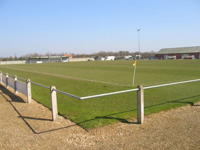
Fakenham Town F.C.

Fakenham Town Football Club is a football club based in Fakenham, Norfolk, England. Affiliated to the Norfolk County Football Association, they are currently...

Fakenham East railway station

Fakenham East railway station was a railway station in the market town of Fakenham in the English county of Norfolk. The station was opened by the Norfolk...

Alethorpe

Alethorpe is a deserted medieval village site and former civil parish, now in the parish of Little Snoring, in the North Norfolk district, in the county...

Fakenham Racecourse

Fakenham Racecourse is a thoroughbred horse racing venue located south of Fakenham, Norfolk, England. King Charles III is patron. == Course == The course...

Related Videos

CAMPSITE REVEIW IN FAKENHAM NORFOLK, CAMPER VAN TRAVEL VLOG

campsite #campervanadventures #campsitereview I STAY ON THE RACECOURCE CAMPSITE IN FAKENHAM. WE EXPLORE ...

@Pensthorpe Family#Friends#Fun#Memories #😍😊.

Pensthorpe Pensthorpe is the ultimate destination for discovery and an action-packed day out for the whole family. Here you can ...

Nearby Amenities

Located within 500m of 52.823248,0.89029989
Crossing
Lat/Long: 52.8246769/0.8887819
Parking
Wheelchair: yes
Lat/Long: 52.8250176/0.8883382
Toilets
Pensthorpe
Female: yes
Male: yes
Wheelchair: yes
Lat/Long: 52.824552/0.887471
Woodland Birds In The Wensum Way
Information: board
Tourism: information
Lat/Long: 52.8198769/0.8869287
Man Made: bug_hotel
Lat/Long: 52.8222043/0.8915281
Bench
Lat/Long: 52.8224118/0.8902126
Coppce Woodland In The Wensum Valley
Information: board
Tourism: information
Lat/Long: 52.8192543/0.8912551
Bench
Lat/Long: 52.8216827/0.8913223
Bench
Lat/Long: 52.8224784/0.8902016
Bench
Lat/Long: 52.8214182/0.8889258
Bench
Lat/Long: 52.8216294/0.8912004
Bench
Lat/Long: 52.821488/0.8888819
Bench
Lat/Long: 52.821896/0.8908014
Bench
Lat/Long: 52.8216177/0.8884531
Birds
Artist Name: Ros Newman
Artwork Type: sculpture
Tourism: artwork
Lat/Long: 52.8224082/0.8910703
Nest
Artist Name: Miles Halpin
Tourism: artwork
Lat/Long: 52.8224415/0.8915692
Organic Forms
Artist Name: Peter Clarke
Artwork Type: sculpture
Tourism: artwork
Lat/Long: 52.8222362/0.8911387
The data included in this document is from www.openstreetmap.org. The data is made available under ODbL.

Have you been to Porters Lake?

Leave your review of Porters Lake below (or comments, questions and feedback).