Green Parlour

Settlement in Somerset Mendip

England

Green Parlour

Sheepwash Bridge at Radstock
Sheepwash Bridge at Radstock Credit: Sandy Gerrard

Green Parlour is a charming village located in Somerset, England. Nestled amidst rolling hills and picturesque landscapes, this idyllic countryside destination offers a peaceful retreat for visitors seeking tranquility and natural beauty.

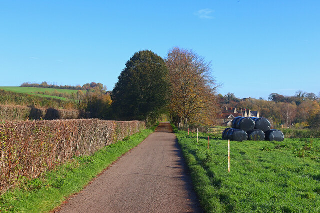
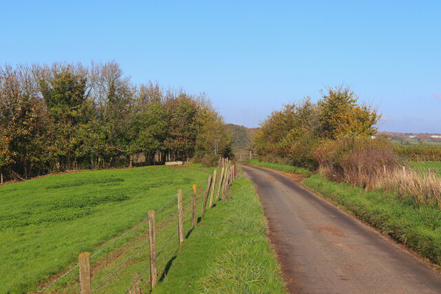
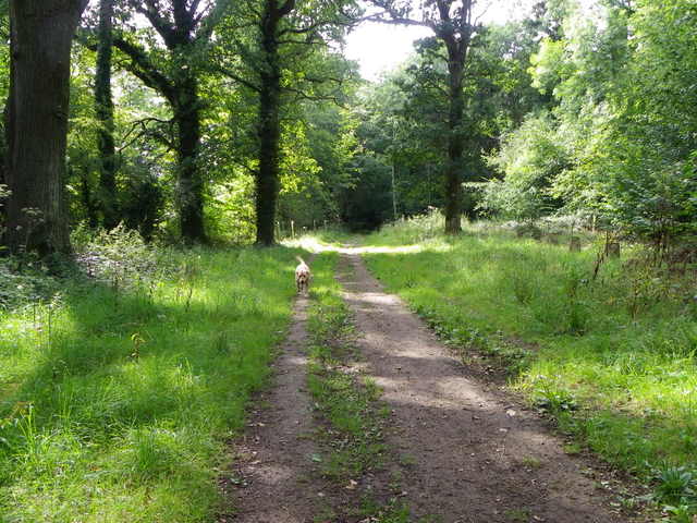
The village is known for its lush green fields and meadows, which provide a perfect setting for leisurely walks and picnics. The surrounding countryside is dotted with traditional stone cottages and quaint farmhouses, adding to the area's rural charm.

Green Parlour is also home to a thriving agricultural community, with farming being the primary occupation of its residents. The fertile soil and favorable climate make it an ideal location for cultivating a variety of crops, including grain, vegetables, and fruits. Visitors can experience the agricultural heritage of the area by exploring local farms and participating in farm-to-table experiences.

In addition to its scenic beauty and agricultural heritage, Green Parlour offers a range of recreational activities. The village boasts several walking and cycling trails, allowing visitors to explore the stunning countryside at their own pace. The nearby rivers and streams are also popular among anglers, who can enjoy fishing for trout and salmon.

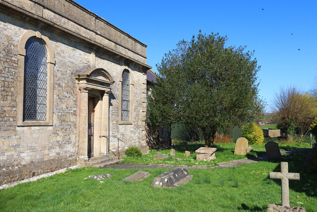
For those seeking a cultural experience, Green Parlour is home to a handful of historic landmarks and attractions. The village church, with its stunning medieval architecture, is a must-visit for history enthusiasts. Additionally, there are a few local museums that showcase the area's rich heritage.

Overall, Green Parlour is a charming village that offers a delightful mix of natural beauty, agricultural heritage, and cultural attractions. Whether you are looking to unwind amidst picturesque landscapes or immerse yourself in the local history, this village is a perfect destination for a peaceful getaway.

If you have any feedback on the listing, please let us know in the comments section below.

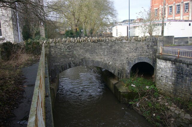
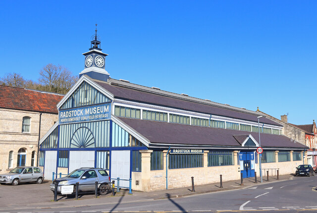
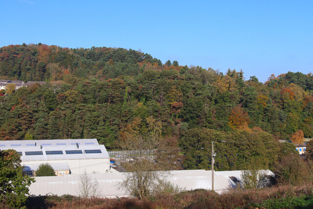
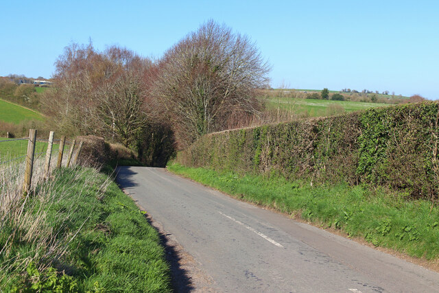
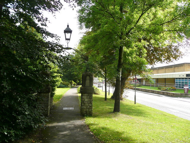
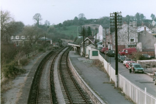
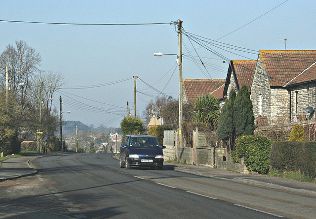
Green Parlour Images

Images are sourced within 2km of 51.288155/-2.4215406 or Grid Reference ST7054. Thanks to Geograph Open Source API. All images are credited.

Sheepwash Bridge at Radstock
Restaurant in Radstock Castello restaurant in Radstock.
Restaurant in Radstock
Castello restaurant in Radstock.
Radstock Museum Somerset Coalfield Life at Radstock.
Radstock Museum
Somerset Coalfield Life at Radstock.
Factory in Radstock View of the Optima facility in Radstock.
Factory in Radstock
View of the Optima facility in Radstock.
Green Street Looking down the hill towards Shoscombe.
Green Street
Looking down the hill towards Shoscombe.
St James' Church Church of St James the Less, Foxcote.
St James' Church
Church of St James the Less, Foxcote.
Gassons Country lane and footpath near Shoscombe.
Gassons
Country lane and footpath near Shoscombe.
Near Foxcote View along the lane near Paglinch Farm.
Near Foxcote
View along the lane near Paglinch Farm.
Country Lane Minor road near Writhlington.
Country Lane
Minor road near Writhlington.
Pit headgear, Lower Writhlington Colliery, Somerset Opened in 1829 Lower Writhlington Colliery lasted until September 1973, when it (& the nearby Kilmersdon Colliery) closed thus ending coal production in Somerset.
Pit headgear, Lower Writhlington Colliery, Somerset
Opened in 1829 Lower Writhlington Colliery lasted until September 1973, when it (& the nearby Kilmersdon Colliery) closed thus ending coal production in Somerset.
Track, Napp Wood The woodland, part of the Ammerdown Estate is open for the public.
Track, Napp Wood
The woodland, part of the Ammerdown Estate is open for the public.
The former church of St Mary Magdalene, Writhlington
Path alongside the A362, Radstock A pleasant walkway where there was once a coal mine. The building over the road is a Co-op supermarket.
Path alongside the A362, Radstock
A pleasant walkway where there was once a coal mine. The building over the road is a Co-op supermarket.
Radstock North Signal Box The signal box in Radstock after the closure of the line but before the signal box was removed to Didcot.
The signalbox was removed on 23rd November 1975 by the Bristol Group of the Great Western Society and transported to Didcot Railway Centre. Ref: <span class="nowrap"><a title="http://www.gwsbristol.org/hradstock_restoration.html" rel="nofollow ugc noopener" href="http://www.gwsbristol.org/hradstock_restoration.html">Link</a><img style="margin-left:2px;" alt="External link" title="External link - shift click to open in new window" src="https://s1.geograph.org.uk/img/external.png" width="10" height="10"/></span>
Radstock North Signal Box
The signal box in Radstock after the closure of the line but before the signal box was removed to Didcot. The signalbox was removed on 23rd November 1975 by the Bristol Group of the Great Western Society and transported to Didcot Railway Centre. Ref: LinkExternal link
Radstock North platform The platform at Radstock North station after closure viewed from the East. The level crossing gates were in the centre of the town adjacent to the signal box, now at Didcot. Date is approximate, around early 1980s.
Radstock North platform
The platform at Radstock North station after closure viewed from the East. The level crossing gates were in the centre of the town adjacent to the signal box, now at Didcot. Date is approximate, around early 1980s.
Radstock North track layout The importance the railway once had to Radstock is illustrated by the scale of the track layout to the east of the station. Picture taken from the old footbridge approx. early 1980s.
Radstock North track layout
The importance the railway once had to Radstock is illustrated by the scale of the track layout to the east of the station. Picture taken from the old footbridge approx. early 1980s.
Radstock North station after closure A sad looking Radstock North station taken around the early 1980s from the footbridge towards the level crossing gates and signal box
Radstock North station after closure
A sad looking Radstock North station taken around the early 1980s from the footbridge towards the level crossing gates and signal box
Site former Radstock Stations, 2006 View southward from the A367 Wells Road, in the centre of town where the two stations used to be, side by side. Nearest was the ex-GWR (Bristol, Radstock & Frome line) - Frome to the left (closed 2/11/59, goods 15/6/64). Just beyond was the Somerset & Dorset station ('Radstock North' from 9/49) on the S&D Bath (to left) - Evercreech Junction - Templecombe - Bournemouth West main line (closed 7/3/66)
Site former Radstock Stations, 2006
View southward from the A367 Wells Road, in the centre of town where the two stations used to be, side by side. Nearest was the ex-GWR (Bristol, Radstock & Frome line) - Frome to the left (closed 2/11/59, goods 15/6/64). Just beyond was the Somerset & Dorset station ('Radstock North' from 9/49) on the S&D Bath (to left) - Evercreech Junction - Templecombe - Bournemouth West main line (closed 7/3/66)
Show me another place!

Green Parlour is located at Grid Ref: ST7054 (Lat: 51.288155, Lng: -2.4215406)

Administrative County: Somerset

District: Mendip

Police Authority: Avon and Somerset

What 3 Words

///purely.ogre.vibrates. Near Radstock, Somerset

Related Wikis

Writhlington School

Writhlington School is a secondary school for pupils aged 11–18 in Writhlington, Bath and North East Somerset, England. It is the main secondary school...

Writhlington

Writhlington is a suburb of Radstock and 6 miles (10 km) north-west of Frome, in the Bath and North East Somerset district of Somerset, England. ��2�...

Writhlington SSSI

Writhlington SSSI (grid reference ST703553) is a 0.5 hectare geological Site of Special Scientific Interest near the town of Radstock, Bath and North East...

Huish Colliery Quarry

Huish Colliery Quarry (grid reference ST695542) is a 0.8 hectare geological Site of Special Scientific Interest near the town of Radstock, Bath and North...

Nearby Amenities

Located within 500m of 51.288155,-2.4215406
Power: pole
Lat/Long: 51.2921866/-2.4241107
The data included in this document is from www.openstreetmap.org. The data is made available under ODbL.

Have you been to Green Parlour?

Leave your review of Green Parlour below (or comments, questions and feedback).