Writhlington

Settlement in Somerset

England

Writhlington

Pit headgear, Lower Writhlington Colliery, Somerset Opened in 1829 Lower Writhlington Colliery lasted until September 1973, when it (& the nearby Kilmersdon Colliery) closed thus ending coal production in Somerset.
Pit headgear, Lower Writhlington Colliery, Somerset Credit: Martin Tester

Writhlington is a small village located in the county of Somerset, England. Situated approximately 9 miles southwest of Bath, it is nestled in the picturesque landscape of the Mendip Hills. With a population of around 1,500 residents, the village offers a peaceful and close-knit community atmosphere.

The origins of Writhlington date back to Roman times when it was a settlement along the Fosse Way, one of the most important Roman roads in Britain. Today, the village retains some historic buildings, including St. James' Church, which dates back to the 12th century and is a notable architectural landmark.

Nature enthusiasts will find Writhlington a haven for outdoor activities. The village is surrounded by lush green fields, rolling hills, and woodland areas, making it a perfect destination for hikers, cyclists, and nature lovers. Additionally, the nearby Writhlington School boasts an impressive botanical garden, renowned for its extensive collection of orchids and rare plants.

Writhlington also has a strong sense of community spirit, with various local events and activities taking place throughout the year. The village hosts an annual summer fete, where residents and visitors can enjoy traditional games, food stalls, and live entertainment. The local pub, The Bell Inn, is a popular gathering spot, offering a warm and friendly atmosphere, as well as a selection of local ales and traditional pub fare.

In terms of amenities, Writhlington has a primary school, a village hall, and a post office, ensuring that residents have convenient access to essential services. For additional shopping and leisure options, the nearby town of Radstock is easily accessible.

Overall, Writhlington offers a charming and idyllic countryside retreat, combining natural beauty, a rich history, and a strong sense of community.

If you have any feedback on the listing, please let us know in the comments section below.
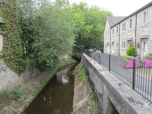
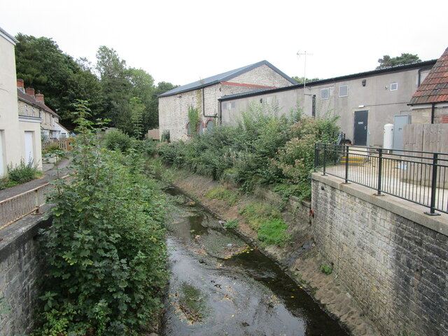
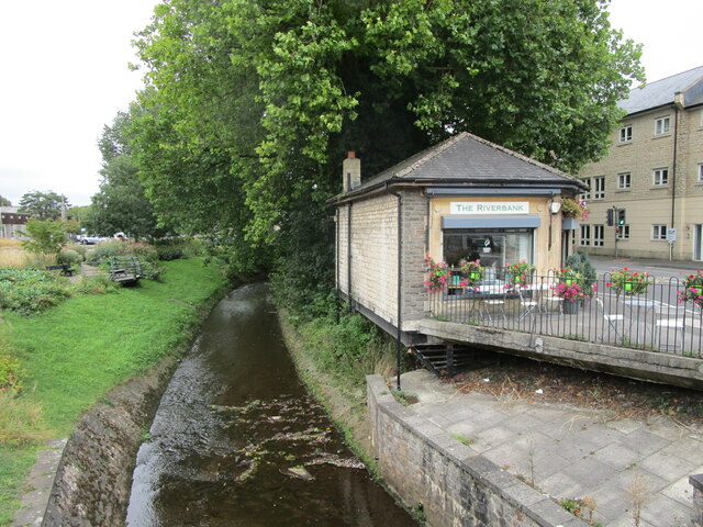
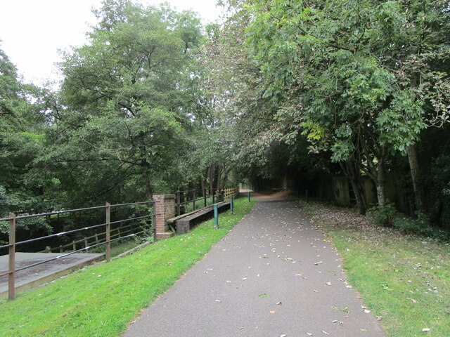
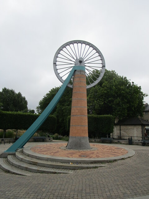
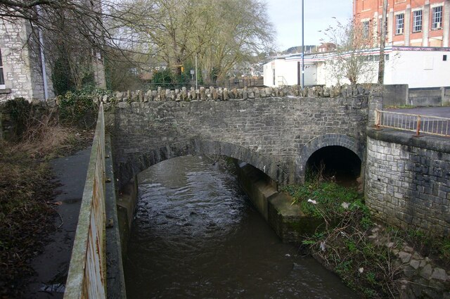
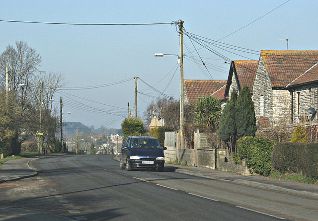
Writhlington Images

Images are sourced within 2km of 51.290352/-2.4280857 or Grid Reference ST7054. Thanks to Geograph Open Source API. All images are credited.

Pit headgear, Lower Writhlington Colliery, Somerset Opened in 1829 Lower Writhlington Colliery lasted until September 1973, when it (& the nearby Kilmersdon Colliery) closed thus ending coal production in Somerset.
Pit headgear, Lower Writhlington Colliery, Somerset
Opened in 1829 Lower Writhlington Colliery lasted until September 1973, when it (& the nearby Kilmersdon Colliery) closed thus ending coal production in Somerset.
Radstock Museum The former Radstock Market Hall dating from 1897 <span class="nowrap"><a title="https://historicengland.org.uk/listing/the-list/list-entry/1136837" rel="nofollow ugc noopener" href="https://historicengland.org.uk/listing/the-list/list-entry/1136837">Link</a><img style="margin-left:2px;" alt="External link" title="External link - shift click to open in new window" src="https://s1.geograph.org.uk/img/external.png" width="10" height="10"/></span>
Radstock Museum
The former Radstock Market Hall dating from 1897 LinkExternal link
Radstock Museum The former Radstock Market Hall of 1897 <span class="nowrap"><a title="https://historicengland.org.uk/listing/the-list/list-entry/1136837" rel="nofollow ugc noopener" href="https://historicengland.org.uk/listing/the-list/list-entry/1136837">Link</a><img style="margin-left:2px;" alt="External link" title="External link - shift click to open in new window" src="https://s1.geograph.org.uk/img/external.png" width="10" height="10"/></span>
Radstock Museum
The former Radstock Market Hall of 1897 LinkExternal link
Abandoned car park, Radstock Served the now closed Co-op supermarket.
Abandoned car park, Radstock
Served the now closed Co-op supermarket.
No more trolleys The large Co-op supermarket in Radstock has closed and been replaced by a smaller store elsewhere in the town.
No more trolleys
The large Co-op supermarket in Radstock has closed and been replaced by a smaller store elsewhere in the town.
Hope House health Centre, Radstock, under construction
National cycle route No. 24 in Radstock
The Wellow Brook at Radstock Heavily engineered. Looking upstream.
The Wellow Brook at Radstock
Heavily engineered. Looking upstream.
The Wellow Brook at Radstock Heavily engineered. Looking downstream.
The Wellow Brook at Radstock
Heavily engineered. Looking downstream.
Former industrial buildings, Radstock Now in retail use.
Former industrial buildings, Radstock
Now in retail use.
Fosseway Press, Radstock Long established printing company.
Fosseway Press, Radstock
Long established printing company.
Victoria Hall, Radstock Built as a Working Men's Institute in 1866 but turned in to council offices in 1902. Now a community arts centre.
Victoria Hall, Radstock
Built as a Working Men's Institute in 1866 but turned in to council offices in 1902. Now a community arts centre.
The beginning of Wells Road, Radstock
Barber on the corner of Fortescue Road, Radstock
The Wellow Brook at Radstock
Former railway route  now cycleway, Radstock
Former railway route now cycleway, Radstock
Miners' Memorial, Radstock The pit head wheel came from a colliery at nearby Kilmersdown.
Miners' Memorial, Radstock
The pit head wheel came from a colliery at nearby Kilmersdown.
Sheepwash Bridge at Radstock
Show me another place!

Writhlington is located at Grid Ref: ST7054 (Lat: 51.290352, Lng: -2.4280857)

Unitary Authority: Bath and North East Somerset

Police Authority: Avon and Somerset

What 3 Words

///shortens.flashing.reclined. Near Radstock, Somerset

Related Wikis

Writhlington

Writhlington is a suburb of Radstock and 6 miles (10 km) north-west of Frome, in the Bath and North East Somerset district of Somerset, England. ��2�...

Writhlington School

Writhlington School is a secondary school for pupils aged 11–18 in Writhlington, Bath and North East Somerset, England. It is the main secondary school...

Writhlington SSSI

Writhlington SSSI (grid reference ST703553) is a 0.5 hectare geological Site of Special Scientific Interest near the town of Radstock, Bath and North East...

Radstock Town F.C.

Radstock Town Football Club is a football club based in Radstock, Somerset, England. It is a member of the Western League Division One and plays at the...

Nearby Amenities

Located within 500m of 51.290352,-2.4280857
Writhlington
Place: suburb
Source Ref: NPE
Wikidata: Q8038516
Lat/Long: 51.2907036/-2.4288862
Writhlington Sports Centre
Leisure: sports_centre
Website: https://www.writhlingtonleisure.co.uk/
Wheelchair: yes
Lat/Long: 51.2876696/-2.4316491
Bus Stop
Writhlington School
Naptan AtcoCode: 0180BAC31085
Naptan Bearing: S
Naptan CommonName: Writhlington School
Naptan NaptanCode: bthdgwd
Naptan Street: Knobsbury Road
Naptan Verified: no
Source: naptan_import
Lat/Long: 51.2873279/-2.430184
Bus Stop
Hayloft
Naptan AtcoCode: 0180BAC31088
Naptan Bearing: NW
Naptan CommonName: Hayloft
Naptan Crossing: Knobsbury Lane
Naptan NaptanCode: bthdgwa
Naptan Street: Frome Road
Naptan Verified: no
Source: naptan_import
Wheelchair: limited
Lat/Long: 51.2887126/-2.4302113
Bus Stop
The Fir Tree Inn
Naptan AtcoCode: 0180BAC31089
Naptan Bearing: SE
Naptan CommonName: The Fir Tree Inn
Naptan Crossing: Manor Park
Naptan NaptanCode: bthdgwg
Naptan Street: Frome Road
Naptan Verified: no
Shelter: no
Source: naptan_import
Wheelchair: limited
Lat/Long: 51.2886778/-2.4298812
Barrier: stile
Lat/Long: 51.292605/-2.425205
Barrier: stile
Lat/Long: 51.2935054/-2.4241593
Barrier: cycle_barrier
Lat/Long: 51.2894109/-2.4317592
Grit Bin
Lat/Long: 51.2909373/-2.4344685
Cafe
Go Bananas
Addr Postcode: BA3 3NQ
Fhrs Id: 204643
Fixme: rough location
Website: https://www.writhlingtonleisure.co.uk/activities/soft-play-centre/
Wheelchair: yes
Lat/Long: 51.2875057/-2.4314238
Social Facility
Addr Postcode: BA3 3LL
Disused Name: Connections Day Services
Fhrs Id: 1591232
Social Facility: day_care
Lat/Long: 51.289024/-2.4316048
Crossing
Crossing: uncontrolled
Crossing Ref: zebra
Lat/Long: 51.2872031/-2.43019
Post Box
Lat/Long: 51.2939236/-2.4260571
Writhlington Soft Play
Leisure: indoor_play
Opening Hours: Mo-Fr 09:30-19:00; Sa-Su 09:00-17:00
Operator: Dragonfly Leisure
Phone: +44 1761 252631
Website: https://www.dragonflyleisure.co.uk/activities/softplay/
Lat/Long: 51.2875511/-2.4312567
Barrier: kerb
Kerb: raised
Lat/Long: 51.2865912/-2.4313551
Barrier: kerb
Kerb: raised
Lat/Long: 51.2864589/-2.4310863
Barrier: kerb
Kerb: raised
Lat/Long: 51.2870297/-2.4315608
Crossing
Crossing: marked
Lat/Long: 51.2871642/-2.4307192
Speed Camera
Maxspeed: 30 mph
Lat/Long: 51.2880955/-2.4288569
Social Facility
Southside Family Project
Fhrs Id: 1450999
Website: https://south-side.org.uk/
Lat/Long: 51.2886367/-2.4289719
Crossing
Crossing Ref: zebra
Lat/Long: 51.2884978/-2.4292507
Power: pole
Lat/Long: 51.2930002/-2.4241384
Power: pole
Lat/Long: 51.2938248/-2.4241779
Power: pole
Lat/Long: 51.2921866/-2.4241107
Bus Stop
Hayloft
Bus: yes
Naptan AtcoCode: 0180BAC31087
Naptan Bearing: S
Naptan CommonName: Hayloft
Naptan Indicator: S-bound
Naptan NaptanCode: bthdgwp
Naptan Street: Knobsbury Lane
Naptan Verified: no
Public Transport: platform
Lat/Long: 51.2880403/-2.4294755
Bus Stop
Hayloft
Bus: yes
Naptan AtcoCode: 0180BAC31086
Naptan Bearing: N
Naptan CommonName: Hayloft
Naptan Indicator: N-bound
Naptan NaptanCode: bthdgwj
Naptan Street: Knobsbury Lane
Naptan Verified: no
Public Transport: platform
Lat/Long: 51.2880319/-2.4295323
The data included in this document is from www.openstreetmap.org. The data is made available under ODbL.

Have you been to Writhlington?

Leave your review of Writhlington below (or comments, questions and feedback).