Green Ore
Settlement in Somerset Mendip
England
Green Ore
Green Ore is a small village located in the county of Somerset, England. Situated in the heart of the Quantock Hills, it is known for its picturesque natural beauty and idyllic countryside setting. The village is part of the West Somerset District and falls within the civil parish of West Quantoxhead.
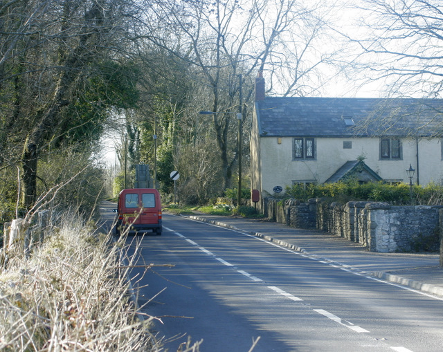
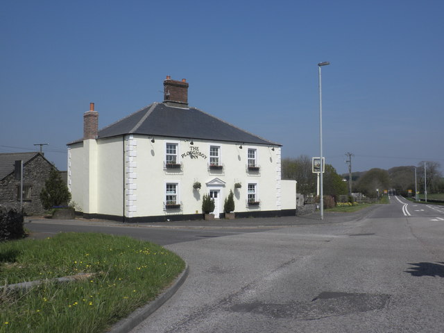
Surrounded by rolling hills and lush greenery, Green Ore offers a peaceful and tranquil atmosphere for its residents and visitors alike. The village is characterized by its charming traditional cottages, many of which date back several centuries, giving it a quaint and timeless feel.
Despite its small size, Green Ore has a strong sense of community, with a close-knit population that actively engages in various local events and activities. The village hall serves as a hub for social gatherings and community events, providing a space for residents to come together and foster a sense of unity.
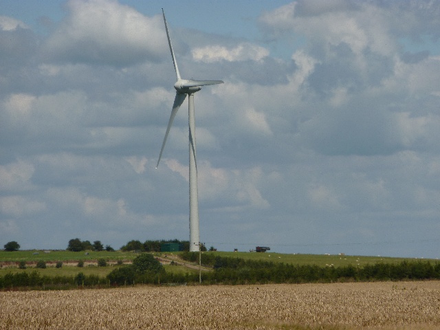
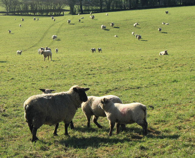
The surrounding countryside provides ample opportunities for outdoor enthusiasts to explore and enjoy nature. The Quantock Hills, designated as an Area of Outstanding Natural Beauty, offer an extensive network of walking and cycling trails, allowing visitors to immerse themselves in the stunning landscape and take in breathtaking views.
Green Ore is conveniently located near other notable attractions in Somerset, including the coastal town of Watchet and the medieval village of Dunster. The nearby Quantock Lakes provide opportunities for fishing and water sports, further enhancing the recreational options available to residents and visitors.
Overall, Green Ore is a charming village that offers a peaceful retreat in the heart of the Somerset countryside, making it a desirable place for those seeking a slower pace of life and a connection with nature.
If you have any feedback on the listing, please let us know in the comments section below.
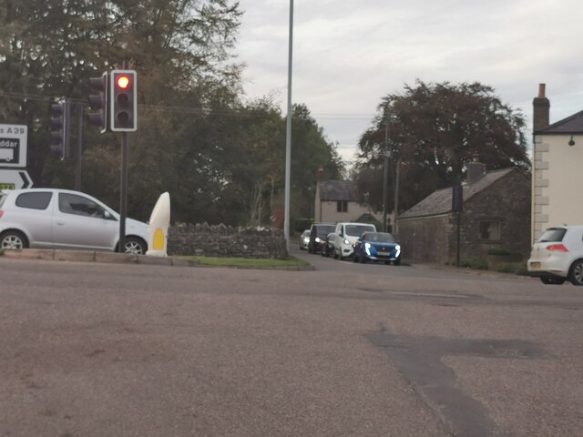
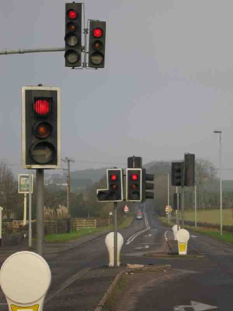
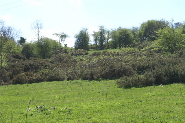
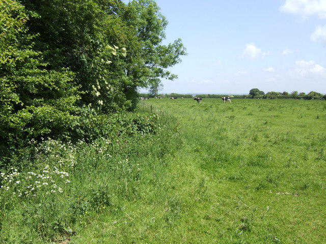
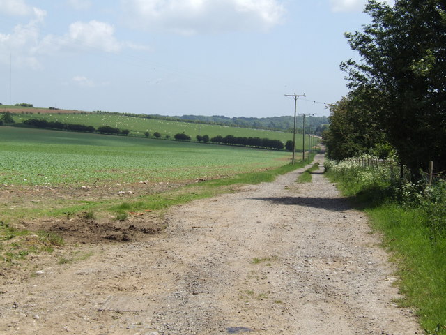
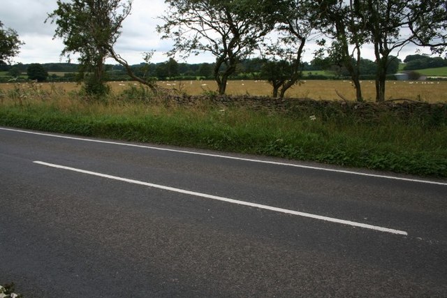
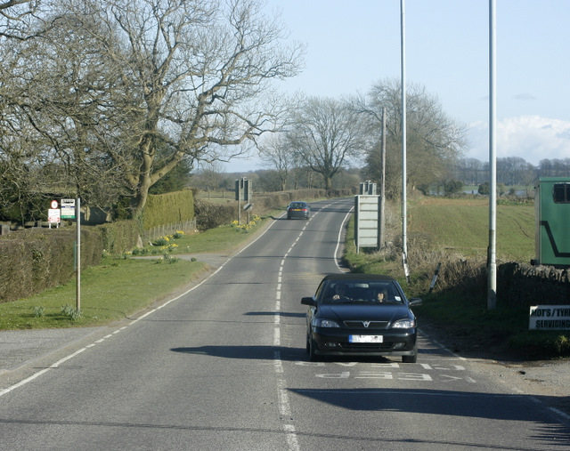
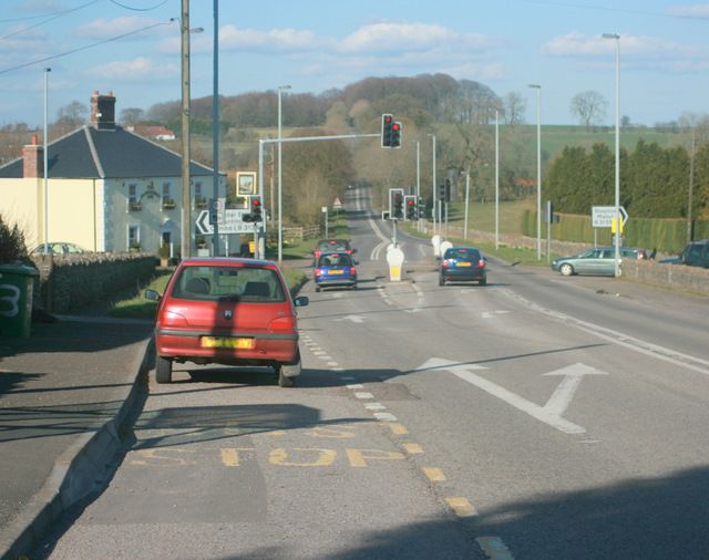
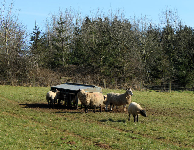
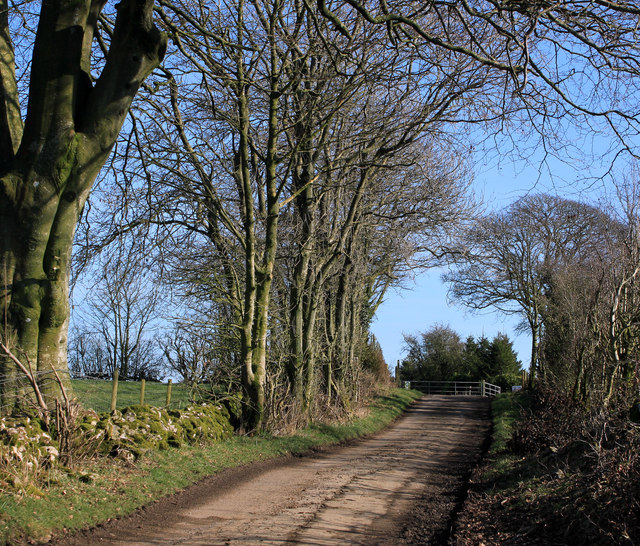
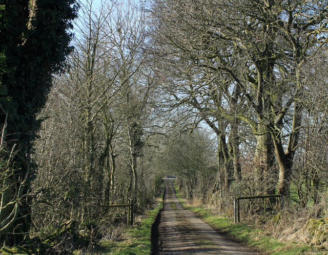
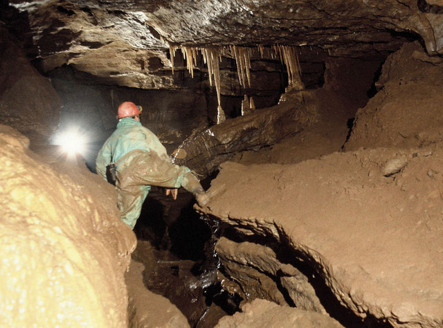
Green Ore Images
Images are sourced within 2km of 51.249872/-2.608631 or Grid Reference ST5750. Thanks to Geograph Open Source API. All images are credited.


Green Ore is located at Grid Ref: ST5750 (Lat: 51.249872, Lng: -2.608631)
Administrative County: Somerset
District: Mendip
Police Authority: Avon and Somerset
What 3 Words
///debt.massaging.slacker. Near Mendip, Somerset
Nearby Locations
Related Wikis

Drove Cottage Henge
Drove Cottage Henge (sometimes called Hunter's Lodge Henge) is a scheduled monument in the Priddy parish of Somerset, England. It is located 370 metres...
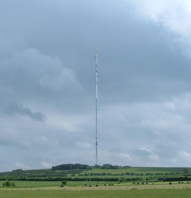
Mendip transmitting station
The Mendip transmitting station is a broadcasting and telecommunications facility on the summit of Pen Hill, part of the Mendip Hills range in Somerset...

Pen Hill
Pen Hill forms part of the Mendip Hills plateau in Somerset, England. The hill is located in St Cuthbert Out civil parish in Mendip district. The name...
Attborough Swallet
Attborough Swallet (also known as Red Quar Swallet) is a cave in Chewton Mendip in Somerset, England. It is unusual for a cave on the Mendip Hills in that...

Stock Hill
Stock Hill (grid reference ST5551) is a Forestry Commission plantation on the Mendip Hills, Somerset, England. It lies to the south of the B3135 which...
Hunter's Hole
Hunter's Hole (or Hunters' Hole) is a cave in the Mendip Hills in Somerset, England. It is behind a pub, known as the Hunters Lodge Inn just outside Priddy...

Priddy Mineries
Priddy Mineries (grid reference ST547515) is a nature reserve previously run by the Somerset Wildlife Trust. It is in the village of Priddy, on the Mendip...
St Cuthbert's Swallet
St Cuthbert's Swallet is the second longest, and most complex, cave on the Mendip Hills, in Somerset, England. It forms a major part of the Priddy Caves...
Nearby Amenities
Located within 500m of 51.249872,-2.608631Have you been to Green Ore?
Leave your review of Green Ore below (or comments, questions and feedback).