Hun Pool
Lake, Pool, Pond, Freshwater Marsh in Norfolk King's Lynn and West Norfolk
England
Hun Pool
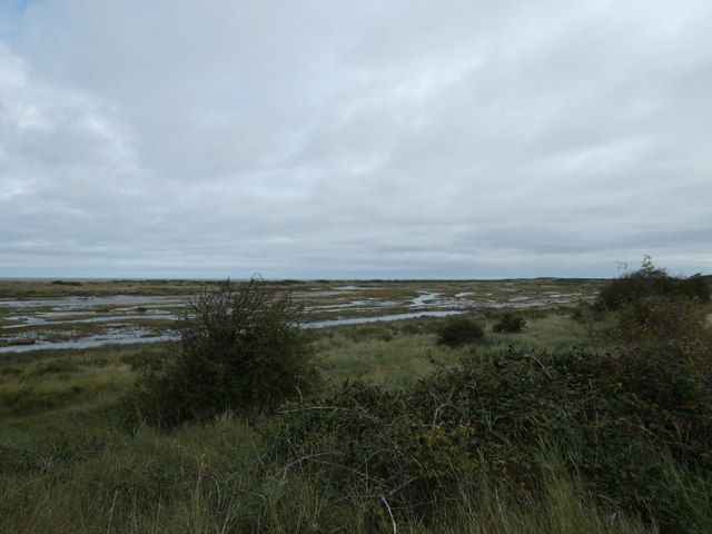
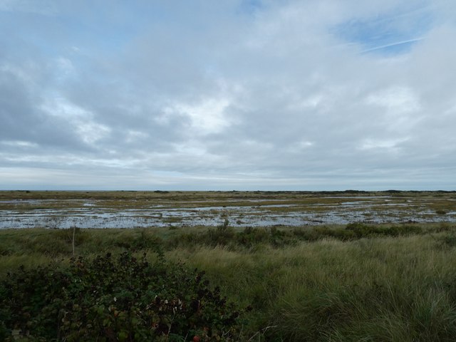
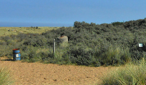
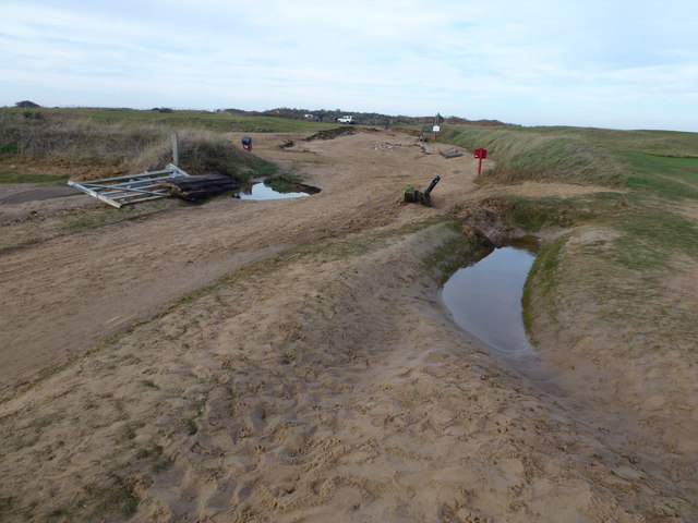
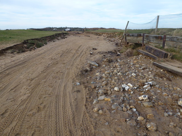
Hun Pool, located in Norfolk, is a unique freshwater ecosystem that combines elements of a lake, pool, pond, and freshwater marsh. Spanning approximately 200 acres, this natural habitat is nestled within a picturesque landscape, attracting both local wildlife and nature enthusiasts.
The pool itself is characterized by its calm and shallow waters, which allow for the growth of various aquatic plants such as lily pads and reeds. These plants create a verdant and vibrant environment, serving as a crucial habitat for a diverse range of flora and fauna. The pool is also home to numerous species of fish, including pike, roach, and tench, which thrive in its nutrient-rich waters.
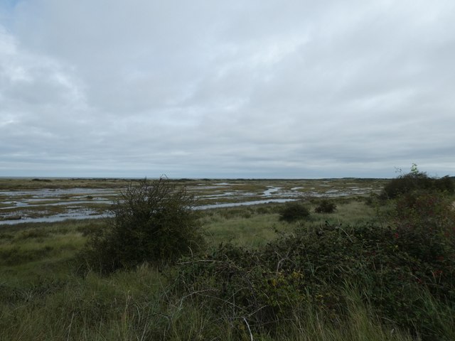
Surrounding the pool is a flourishing marshland, teeming with life. This freshwater marsh is composed of wetland vegetation, including sedges and rushes, which provide a haven for several bird species such as reed warblers, bitterns, and marsh harriers. The marsh also supports a plethora of insect life, attracting dragonflies, butterflies, and bees.
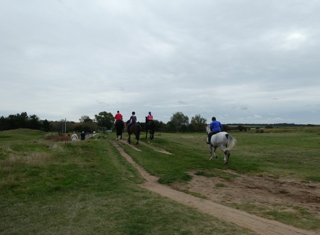
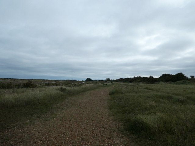
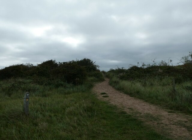
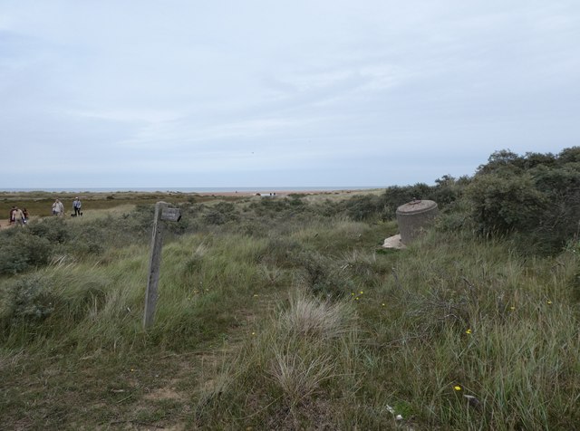
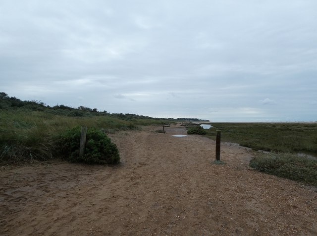
Hun Pool is not only a sanctuary for wildlife but also a popular destination for nature enthusiasts. Visitors can explore the area via designated footpaths and observation points, allowing for an up-close and personal encounter with the diverse flora and fauna. The pool's tranquil ambiance and breathtaking vistas make it an ideal spot for birdwatching, photography, and simply immersing oneself in the beauty of nature.
Overall, Hun Pool in Norfolk is a remarkable freshwater ecosystem that offers a harmonious blend of lake, pool, pond, and marsh habitats. Its diverse range of plant and animal life, coupled with its serene surroundings, make it a haven for both wildlife and those seeking a tranquil escape in nature.
If you have any feedback on the listing, please let us know in the comments section below.
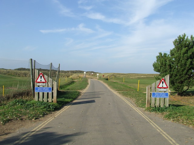
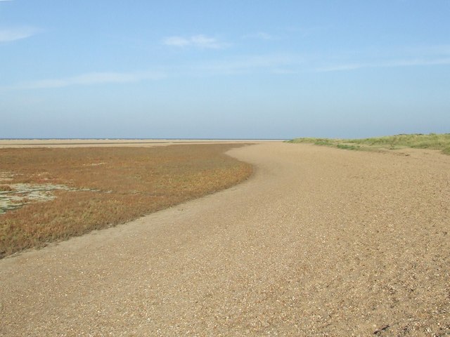
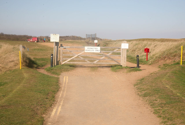
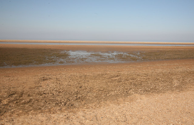
Hun Pool Images
Images are sourced within 2km of 52.971208/0.5465136 or Grid Reference TF7144. Thanks to Geograph Open Source API. All images are credited.
Hun Pool is located at Grid Ref: TF7144 (Lat: 52.971208, Lng: 0.5465136)
Administrative County: Norfolk
District: King's Lynn and West Norfolk
Police Authority: Norfolk
What 3 Words
///edges.mainland.compacts. Near Hunstanton, Norfolk
Nearby Locations
Related Wikis

Holme Dunes
Holme Dunes is a 192-hectare (470-acre) nature reserve near Holme-next-the-Sea in Norfolk. It is managed by the Norfolk Wildlife Trust, and is a National...

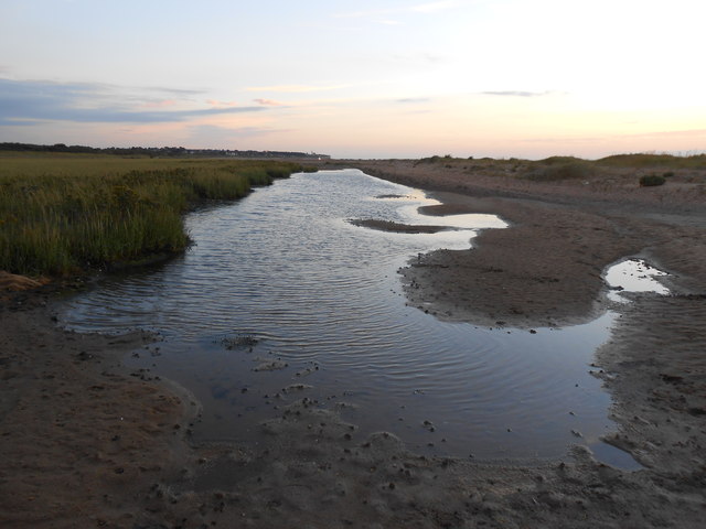
River Hun
The River Hun is in the west of the county of Norfolk, in England. Its source is in the grounds of Hunstanton Park. Its mouth can be found on the North...

St Mary's Church, Holme-next-the-Sea
St Mary's Church is the parish church of Holme-next-the-Sea in the English county of Norfolk. It is dedicated to the Virgin Mary. The church is partly...

Holme-next-the-Sea
Holme-next-the-Sea is a small village and civil parish in the English county of Norfolk. It is situated on the north Norfolk coast some 5 km north-east...

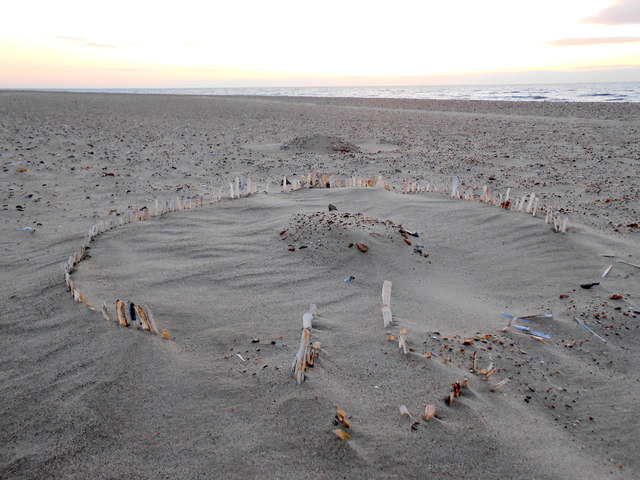
Seahenge
Seahenge, also known as Holme I, was a prehistoric monument located in the village of Holme-next-the-Sea, near Old Hunstanton in the English county of...
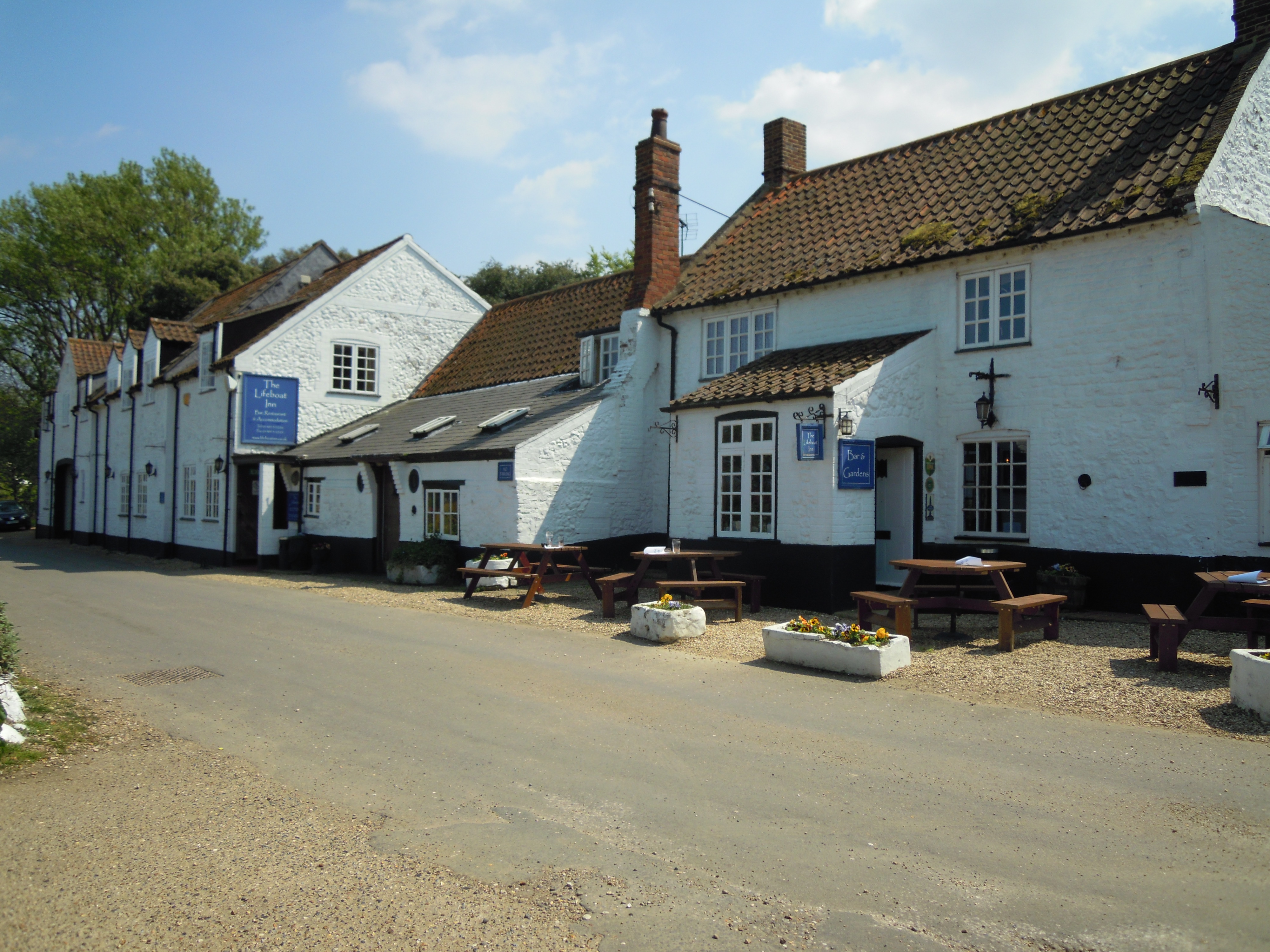
The Lifeboat Inn, Thornham
The Lifeboat Inn is a public house and inn in Ship Lane, Thornham, Norfolk, England. It lies near the wooded grounds of Thornham Manor. The white-painted...

Thornham, Norfolk
Thornham is a village and civil parish in the English county of Norfolk. It is situated on the north Norfolk coast some 7 kilometres (4.3 mi) north-east...

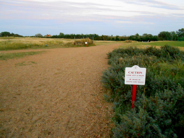
Hunstanton Golf Club
Hunstanton Golf Club is an 18-hole members golf club in Norfolk, England which has hosted many of the leading amateur golf tournaments in Britain including...
Nearby Amenities
Located within 500m of 52.971208,0.5465136Have you been to Hun Pool?
Leave your review of Hun Pool below (or comments, questions and feedback).