Moat Pond
Lake, Pool, Pond, Freshwater Marsh in Essex Chelmsford
England
Moat Pond

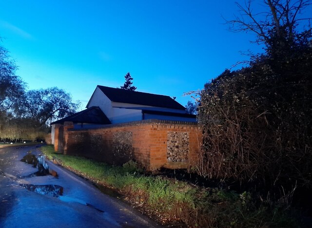
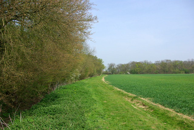
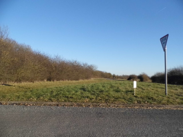
Moat Pond is a picturesque freshwater body located in Essex, England. It is commonly referred to as a pond, although its size and features could also classify it as a small lake or pool. Spanning approximately 3 acres, Moat Pond is nestled within a serene natural setting, surrounded by lush vegetation and beautiful countryside.
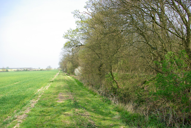
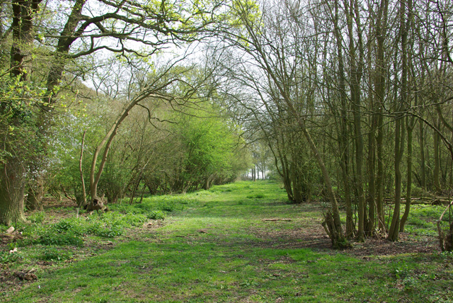
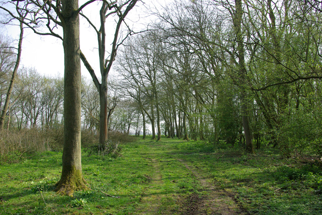
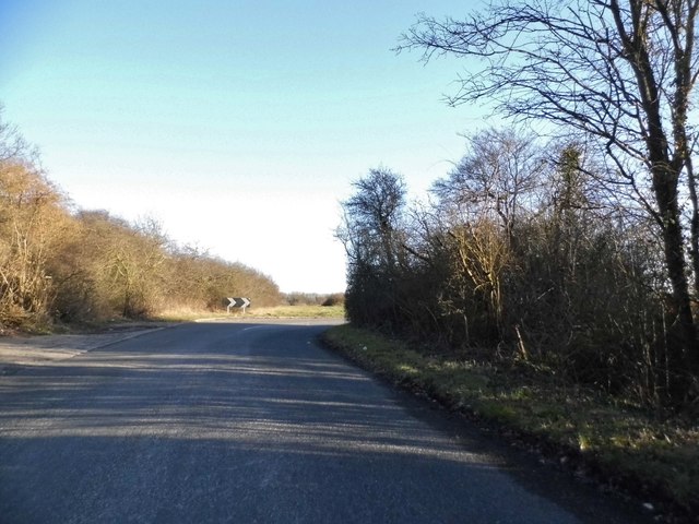
The pond owes its name to the historical moat that was once part of a nearby manor house. Over time, the moat filled with water and transformed into the tranquil pond that exists today. Its location adds to its charm, as it is situated near several walking trails and is a popular spot for nature enthusiasts.
Moat Pond is known for its diverse ecosystem, acting as a home to various species of fish, birds, and insects. The freshwater marshes that border the pond provide a unique habitat for numerous aquatic plants and wildlife. It is not uncommon to spot waterfowl such as ducks and swans gracefully gliding across the pond's surface.
The pond also offers recreational opportunities such as fishing and boating. Anglers often visit Moat Pond to catch species such as carp, roach, and perch. Additionally, it is a favored destination for leisurely walks and picnics, with benches strategically placed along the shoreline for visitors to enjoy the scenery.
Overall, Moat Pond in Essex is a tranquil and enchanting freshwater body, combining natural beauty, diverse wildlife, and recreational opportunities in a serene countryside setting.
If you have any feedback on the listing, please let us know in the comments section below.
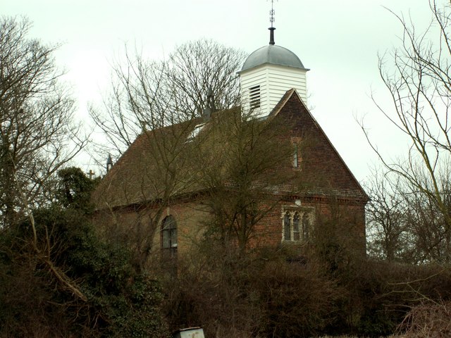
Moat Pond Images
Images are sourced within 2km of 51.77358/0.35172018 or Grid Reference TL6210. Thanks to Geograph Open Source API. All images are credited.


Moat Pond is located at Grid Ref: TL6210 (Lat: 51.77358, Lng: 0.35172018)
Administrative County: Essex
District: Chelmsford
Police Authority: Essex
What 3 Words
///professed.dives.cowering. Near Writtle, Essex
Related Wikis

Chalk End
Chalk End is a hamlet in the civil parish of Roxwell and the Chelmsford District of Essex, England. The hamlet is 1.5 miles (2.4 km) northwest from the...

Good Easter
Good Easter is a village and civil parish in the Chelmsford district of Essex, England. The village is 6 miles (10 km) northwest from the city and county...

Berners Roding
Berners Roding (pronounced Barnish) is a village and former civil parish, now in the parish of Abbess, Beauchamp and Berners Roding and the Epping Forest...

Clatterford End, High Easter
Clatterford End is a hamlet partly in the High Easter civil parish of the Uttlesford district, and partly in the Good Easter parish of the Chelmsford district...

Margaret Roding
Margaret Roding is a village and civil parish in the Uttlesford district of Essex, England. The village is included in the eight hamlets and villages called...

Mashbury
Mashbury is a small village and civil parish in the Chelmsford district of Essex, England. The population of the village is included in the civil parish...
Shellow Bowells
Shellow Bowells (or occasionally misspelt as Shellow Bowels) is a village and former civil parish, now in the parish of Willingale, in the Epping Forest...

Willingale, Essex
Willingale is a village and civil parish in the Epping Forest district of Essex, England. The civil parish also includes the village of Shellow Bowells...
Nearby Amenities
Located within 500m of 51.77358,0.35172018Have you been to Moat Pond?
Leave your review of Moat Pond below (or comments, questions and feedback).