Chalk End

Settlement in Essex Chelmsford

England

Chalk End

Souther Cross Road, Good Easter
Souther Cross Road, Good Easter Credit: David Howard

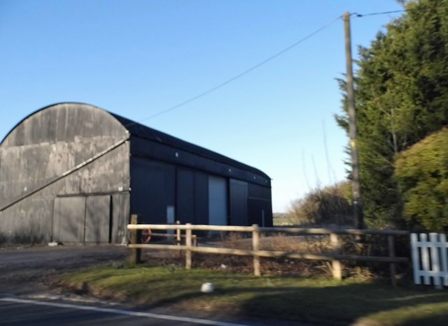
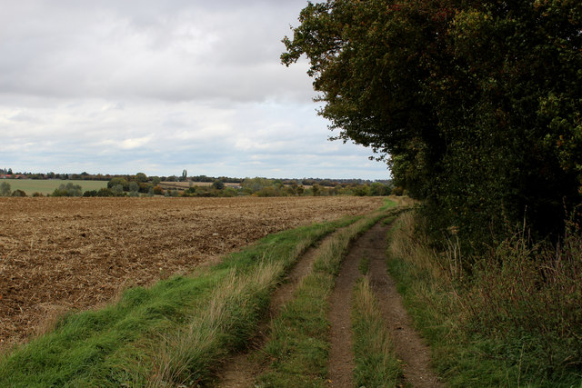
Chalk End is a small village located in the English county of Essex. Situated approximately 2 miles southeast of the town of Braintree, it falls within the Braintree District Council area. The village is surrounded by picturesque countryside, offering residents and visitors a tranquil and idyllic setting.

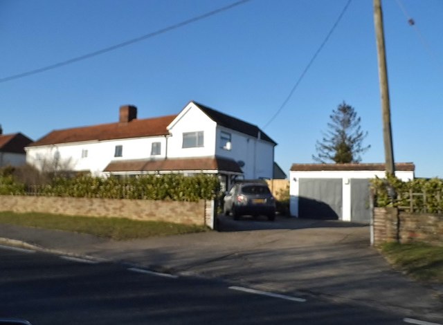
Chalk End is primarily a residential area, with a population of around 500 people. The village is known for its charming character, boasting a collection of traditional, well-maintained cottages and houses that add to its quaint appeal. The community in Chalk End is close-knit, with a strong sense of camaraderie among its residents.

Despite its small size, Chalk End offers some amenities and services to cater to the needs of its inhabitants. These include a local convenience store, a primary school, and a village hall that serves as a hub for various community events and gatherings. The village also benefits from good transport links, with regular bus services connecting it to Braintree and other nearby towns.

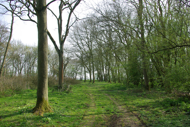
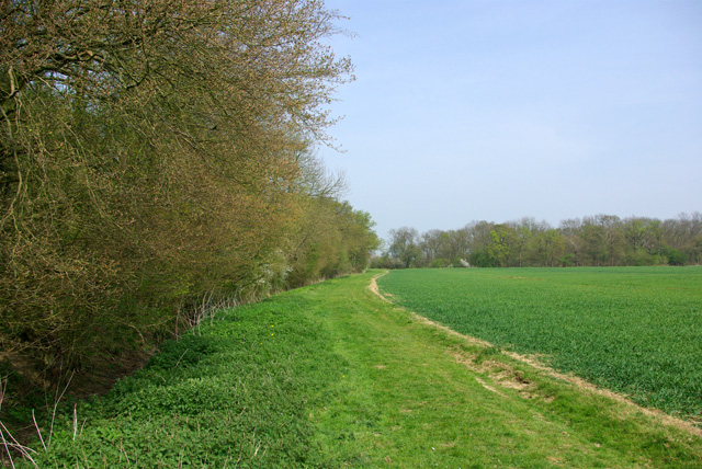
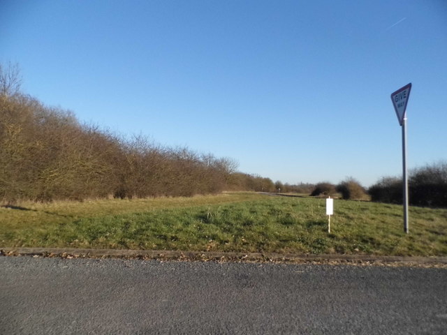
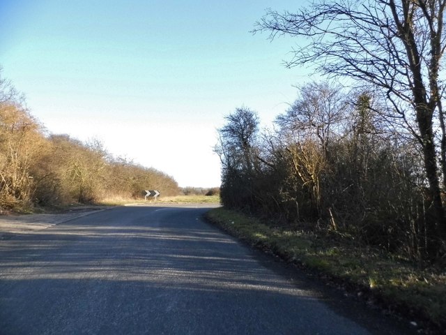
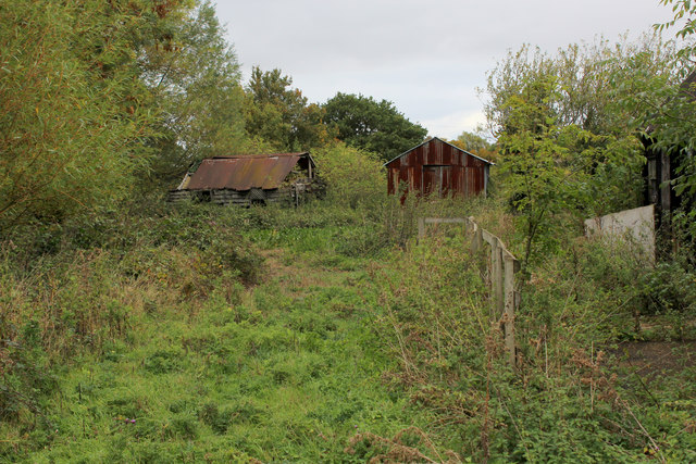
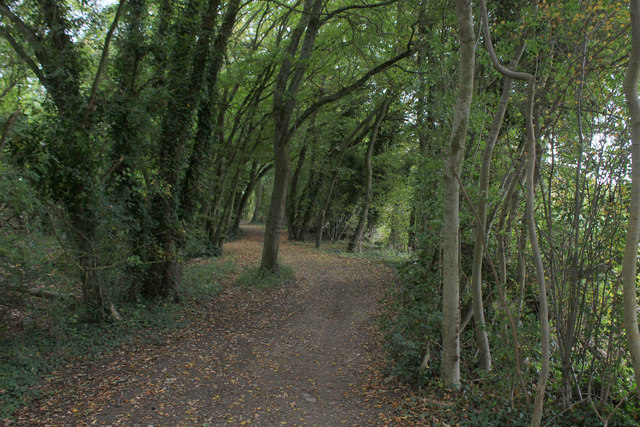
Nature lovers and outdoor enthusiasts will appreciate the surrounding countryside, which provides ample opportunities for walking, cycling, and exploring the beautiful Essex landscape. Chalk End is also conveniently located near several nature reserves and parks, offering further recreational options for residents and visitors alike.

In summary, Chalk End is a charming village in Essex, offering a peaceful and picturesque living environment. With its close-knit community and access to beautiful countryside, it provides an attractive place to call home for those seeking a quieter and more rural lifestyle.

If you have any feedback on the listing, please let us know in the comments section below.
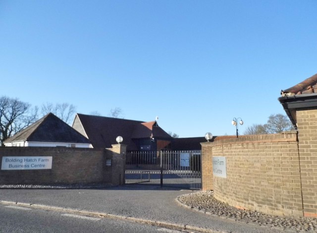
Chalk End Images

Images are sourced within 2km of 51.769999/0.358337 or Grid Reference TL6210. Thanks to Geograph Open Source API. All images are credited.

Souther Cross Road, Good Easter
Houses on Mill Road, Good Easter
House on Mill Road, Good Easter
Halloween themed garage in Good Easter They made an effort
Halloween themed garage in Good Easter
They made an effort
Tye Green
Tye Green
Tye Green
Tye Green
St Andrew's Church, Good Easter, Essex
Ride, Berners Wood Extending from one side of the wood to the other.
Ride, Berners Wood
Extending from one side of the wood to the other.
Path up east side of Berners Wood The wood has public paths all around it, but not through it. Beech Wood is to the right.
Path up east side of Berners Wood
The wood has public paths all around it, but not through it. Beech Wood is to the right.
Bolding Hatch Farm Business Centre Clearly an ex farm
Bolding Hatch Farm Business Centre
Clearly an ex farm
Chalk End looking towards the A1060
Chalk End
Chalk End
Barn at Blue House Farm, Four Wantz
House on Chelmsford Road, Four Wantz
Church in Good Easter village on the Essex Way
Dilapidated Outbuildings at Pincher's Farm, Pepper's Green
Essex Way in Hardy's Plantation The long distance footpath just to the south of Pepper's Green
Essex Way in Hardy's Plantation
The long distance footpath just to the south of Pepper's Green
Essex Way heading North East to Farmbridge End One of the first county long distance footpath devised, tracing its history back to 1971.
It was also the first to make an appearance within the county borders of Essex.
The 81 mile trail starts outside the underground station in Epping, passing through Chipping Ongar, Pleshey, White Notley, Coggeshall, Great Horkesley, Dedham and Manningtree to the High Lighthouse in Harwich.  It runs through the entire county in a rough south west to north east line.
Essex Way heading North East to Farmbridge End
One of the first county long distance footpath devised, tracing its history back to 1971. It was also the first to make an appearance within the county borders of Essex. The 81 mile trail starts outside the underground station in Epping, passing through Chipping Ongar, Pleshey, White Notley, Coggeshall, Great Horkesley, Dedham and Manningtree to the High Lighthouse in Harwich. It runs through the entire county in a rough south west to north east line.
Show me another place!

Chalk End is located at Grid Ref: TL6210 (Lat: 51.769999, Lng: 0.358337)

Administrative County: Essex

District: Chelmsford

Police Authority: Essex

What 3 Words

///slams.unleashed.handwriting. Near Writtle, Essex

Nearby Locations

Moat Pond Chalk End

Related Wikis

Chalk End

Chalk End is a hamlet in the civil parish of Roxwell and the Chelmsford District of Essex, England. The hamlet is 1.5 miles (2.4 km) northwest from the...

Good Easter

Good Easter is a village and civil parish in the Chelmsford district of Essex, England. The village is 6 miles (10 km) northwest from the city and county...

Berners Roding

Berners Roding (pronounced Barnish) is a village and former civil parish, now in the parish of Abbess, Beauchamp and Berners Roding and the Epping Forest...

Mashbury

Mashbury is a small village and civil parish in the Chelmsford district of Essex, England. The population of the village is included in the civil parish...

Clatterford End, High Easter

Clatterford End is a hamlet partly in the High Easter civil parish of the Uttlesford district, and partly in the Good Easter parish of the Chelmsford district...

Shellow Bowells

Shellow Bowells (or occasionally misspelt as Shellow Bowels) is a village and former civil parish, now in the parish of Willingale, in the Epping Forest...

Margaret Roding

Margaret Roding is a village and civil parish in the Uttlesford district of Essex, England. The village is included in the eight hamlets and villages called...

Boyton Cross

Boyton Cross is a hamlet in Essex, England. It is approximately half a mile from the village of Roxwell and is situated mainly along the A1060 road which...

Nearby Amenities

Located within 500m of 51.769999,0.358337
Bus Stop
Farmbridge End Road
Bus: yes
Naptan AtcoCode: 1500DGK136
Naptan Bearing: SE
Naptan CommonName: Chalk End
Naptan Indicator: SE-bound
Naptan Landmark: Chalk End
Naptan NaptanCode: esxgmpam
Naptan Street: Bishops Stortford Road
Naptan Verified: no
Public Transport: platform
Source: naptan_import
Lat/Long: 51.7691782/0.3619612
Bus Stop
Farmbridge End Road
Bus: yes
Naptan AtcoCode: 1500DGK137
Naptan Bearing: W
Naptan CommonName: Chalk End
Naptan Indicator: W-bound
Naptan Landmark: Chalk End
Naptan NaptanCode: esxgmpap
Naptan Street: Bishops Stortford Road
Naptan Verified: no
Public Transport: platform
Source: naptan_import
Lat/Long: 51.7694629/0.360773
Chalk End
Place: hamlet
Wikidata: Q5068792
Lat/Long: 51.7693474/0.3626956
Bus Stop
Bolding Hatch
Bus: yes
Naptan AtcoCode: 1500DGK1037
Naptan NaptanCode: esxjmpag
Naptan Verified: no
Public Transport: platform
Source: naptan
Lat/Long: 51.7728678/0.3527704
Colour: red and white
Marker: aerial
Utility: gas
Lat/Long: 51.7684536/0.3633968
Colour: red and white
Marker: aerial
Utility: gas
Lat/Long: 51.7682856/0.3623077
Colour: red and white
Marker: aerial
Utility: gas
Lat/Long: 51.7682536/0.3630668
The data included in this document is from www.openstreetmap.org. The data is made available under ODbL.

Have you been to Chalk End?

Leave your review of Chalk End below (or comments, questions and feedback).