Acre Pond
Lake, Pool, Pond, Freshwater Marsh in Cambridgeshire South Cambridgeshire
England
Acre Pond
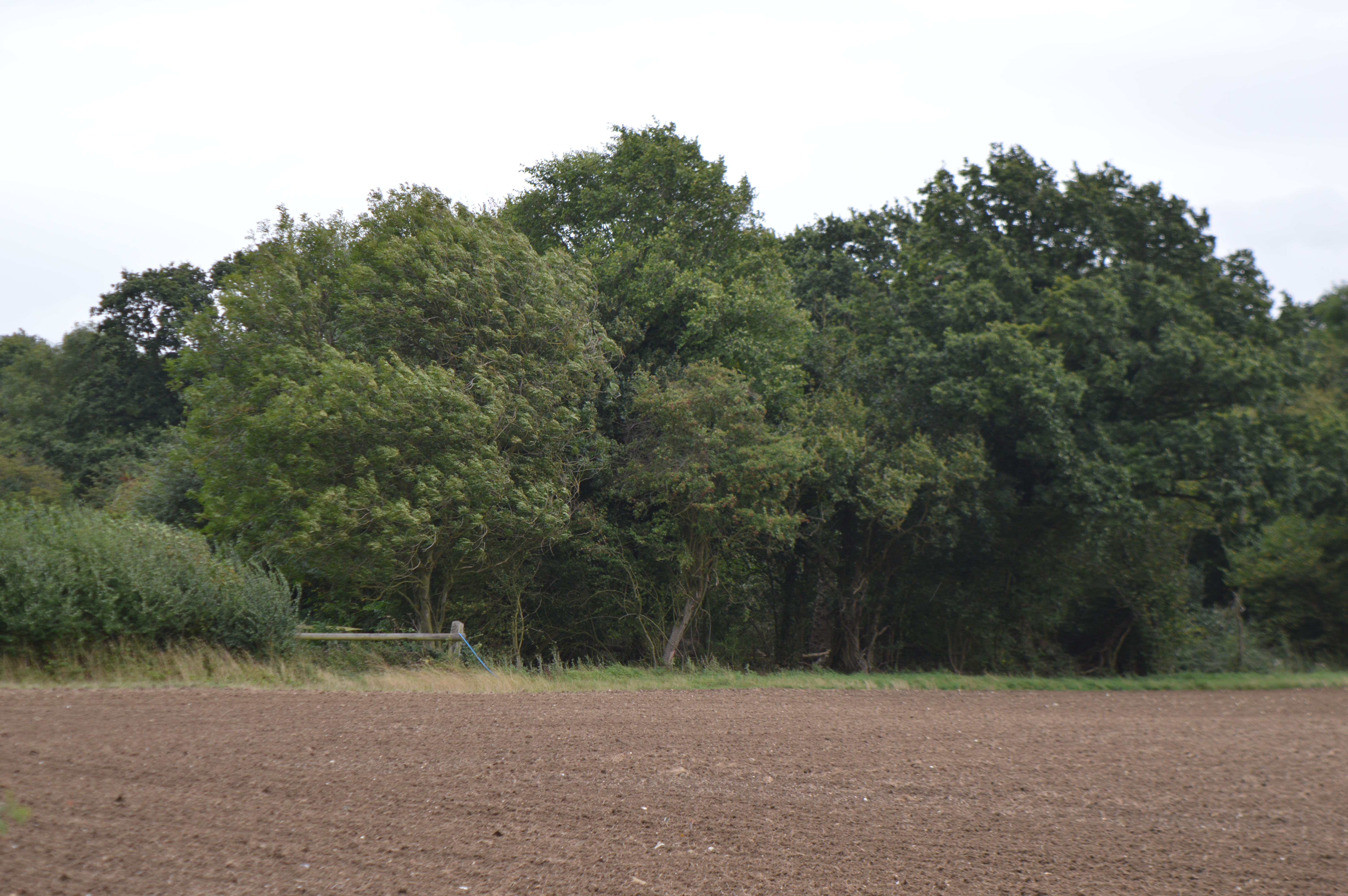
Acre Pond is a small freshwater marsh located in Cambridgeshire, England. Covering an area of approximately 5 acres, it is classified as a pond due to its size, although it resembles more of a small lake or pool. The pond is surrounded by dense vegetation, including reeds, rushes, and water lilies, which provide a habitat for various species of wildlife.
The water in Acre Pond is fed by natural springs and rainfall, ensuring a constant supply of freshwater. The pond is relatively shallow, with an average depth of about 4 feet, making it an ideal breeding ground for amphibians such as frogs and newts. It also serves as a resting place for numerous waterfowl, including ducks and geese, which can often be seen gliding across its calm surface.
The pond is a popular spot for nature enthusiasts and birdwatchers, who come to observe the diverse range of bird species that inhabit the area. It is not uncommon to spot herons, kingfishers, and various types of water birds throughout the year. The tranquil surroundings and abundance of wildlife make Acre Pond a peaceful and idyllic destination for those seeking a connection with nature.
Access to Acre Pond is relatively easy, with a footpath that runs along its perimeter, providing visitors with the opportunity to explore the area and appreciate its natural beauty. Whether it's a leisurely stroll or a moment of quiet contemplation, Acre Pond offers a serene escape from the hustle and bustle of everyday life.
If you have any feedback on the listing, please let us know in the comments section below.
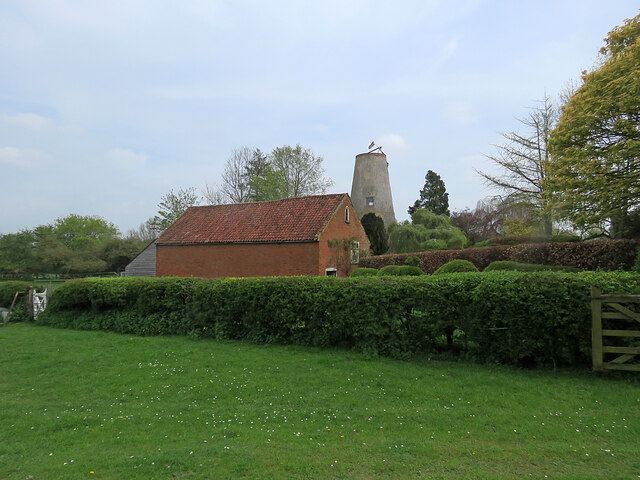
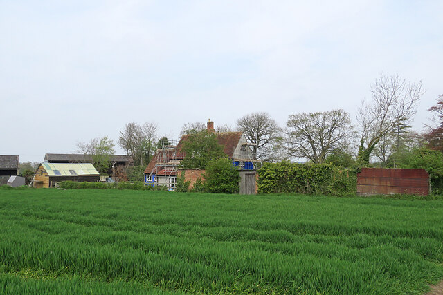
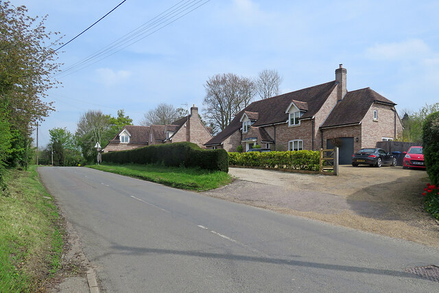
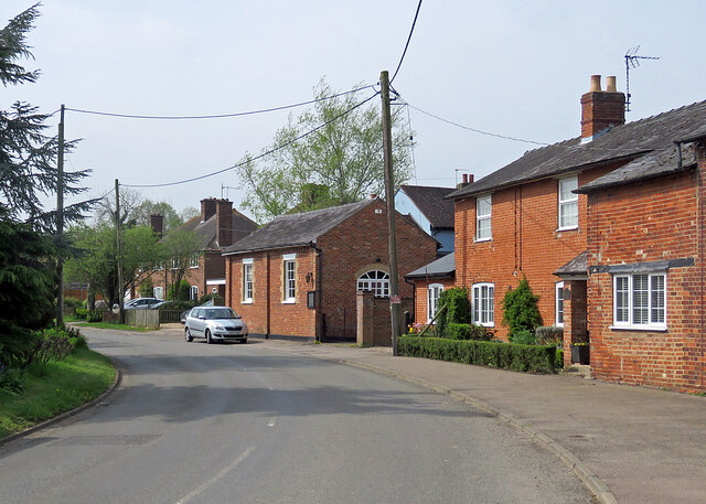
Acre Pond Images
Images are sourced within 2km of 52.101879/0.3688827 or Grid Reference TL6247. Thanks to Geograph Open Source API. All images are credited.
![Horseheath: the rear of Hartford House "House, formerly rectory, c 1700, extended on west side C19. Timber-framed [and] plaster rendered with hipped tiled roof and wood eaves" (Grade II listing). The picture was taken from All Saints' churchyard as a spring morning turned cloudy.](https://s0.geograph.org.uk/geophotos/07/46/96/7469652_da1c05bb.jpg)
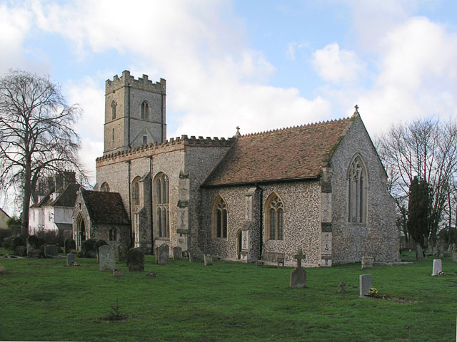
![Horseheath: All Saints - north side The church dates from the 14th and 15th centuries and was much restored in the 19th. "Nave without aisles Perp, a fine impression inside, with very large three-light transomed windows - a veritable glasshouse. The height of the nave was brought down [see evidence of the former roof line on the east wall of the tower] and brick battlements put up" (Nikolaus Pevsner).](https://s0.geograph.org.uk/geophotos/07/46/96/7469668_283c07e3.jpg)
![Horseheath: All Saints - south side The church dates from the 14th and 15th centuries and was much restored in the 19th. "Nave without aisles Perp, a fine impression inside, with very large three-light transomed windows - a veritable glasshouse. The height of the nave was brought down [see evidence of the former roof line on the east wall of the tower] and brick battlements put up" (Nikolaus Pevsner).](https://s0.geograph.org.uk/geophotos/07/46/96/7469672_b4f18483.jpg)
Acre Pond is located at Grid Ref: TL6247 (Lat: 52.101879, Lng: 0.3688827)
Administrative County: Cambridgeshire
District: South Cambridgeshire
Police Authority: Cambridgeshire
What 3 Words
///handyman.wrong.beaker. Near Balsham, Cambridgeshire
Related Wikis

Horseheath
Horseheath is a village in Cambridgeshire, England, situated a few miles south-east of Cambridge, between Linton and Haverhill, on the A1307 road. It was...

Over and Lawn Woods
Over and Lawn Woods is a 43.3-hectare (107-acre) biological Site of Special Scientific Interest north-west of Haverhill in Suffolk. It is listed by Natural...

West Wickham, Cambridgeshire
West Wickham is a village and civil parish in South Cambridgeshire, England, 10 miles south-east of Cambridge on the border with Suffolk. == History... ==
Withersfield
Withersfield is a village and civil parish in the West Suffolk district of Suffolk in eastern England. In 2011 its population was 450. It has a public...
RAF Wratting Common
Royal Air Force Wratting Common, or more simply RAF Wratting Common, is a former Royal Air Force substation located near Newmarket, Suffolk, UK. ��2�...
Balsham Wood
Balsham Wood is a 35 hectare biological Site of Special Scientific Interest south of Balsham in Cambridgeshire.This site has one of the last surviving...
Bartlow
Bartlow is a small village and civil parish in the South Cambridgeshire district of Cambridgeshire, England, about 12 miles (19 km) south-east of Cambridge...

Castle Camps (village)
Castle Camps is a village and civil parish in the South Cambridgeshire district, in the county of Cambridgeshire, England. It is 15 miles (24 km) south...
Nearby Amenities
Located within 500m of 52.101879,0.3688827Have you been to Acre Pond?
Leave your review of Acre Pond below (or comments, questions and feedback).