Frant Lakes
Lake, Pool, Pond, Freshwater Marsh in Sussex Wealden
England
Frant Lakes
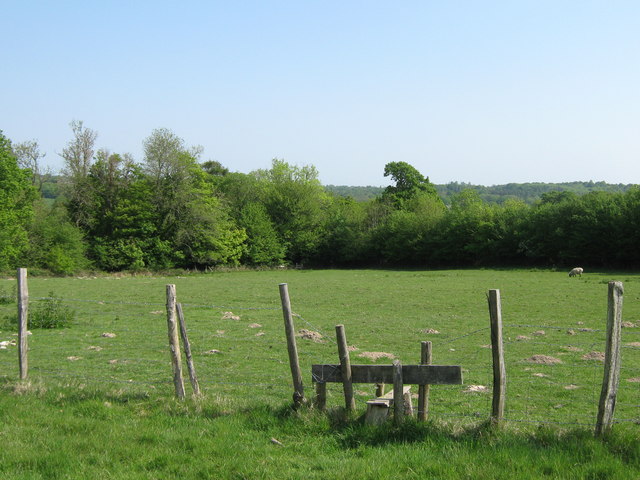
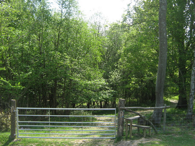
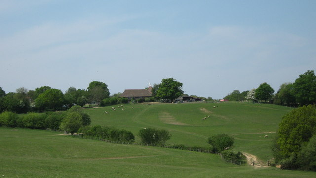
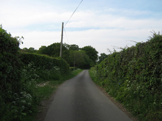
Frant Lakes, located in Sussex, England, is a picturesque collection of freshwater bodies encompassing lakes, pools, ponds, and a freshwater marsh. Nestled within the stunning countryside, Frant Lakes is a haven for nature enthusiasts and provides a tranquil retreat for visitors.
The main attraction of Frant Lakes is its three interconnected lakes, which cover a total area of approximately 20 acres. These lakes, known as Frant Lake, Lower Lake, and Upper Lake, offer a variety of recreational activities such as fishing, boating, and kayaking. Fishing enthusiasts can expect to find a diverse range of fish species, including carp, pike, roach, and tench, making it a popular destination for anglers of all levels.
Adjacent to the lakes, there is a small pool and several ponds that contribute to the overall charm of Frant Lakes. These smaller bodies of water are teeming with aquatic life, including frogs, newts, and various species of water insects, attracting nature lovers and birdwatchers.
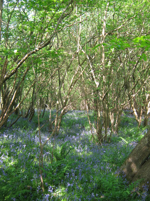
A standout feature of Frant Lakes is the freshwater marsh, which provides a rich habitat for a wide array of plant and animal species. The marshland is home to a variety of reeds, grasses, and wildflowers, creating a vibrant and diverse ecosystem. Visitors can expect to encounter a plethora of bird species, such as herons, kingfishers, and ducks, making it a prime spot for birdwatching.
Frant Lakes offers visitors a chance to immerse themselves in the beauty of nature, with its interconnected lakes, pools, ponds, and freshwater marsh providing a range of recreational and wildlife-watching opportunities. Whether one seeks a peaceful fishing spot, a serene boating experience, or simply a place to relax and enjoy the natural surroundings, Frant Lakes is sure to captivate all who venture there.
If you have any feedback on the listing, please let us know in the comments section below.
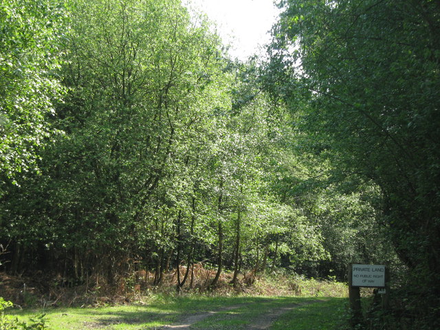
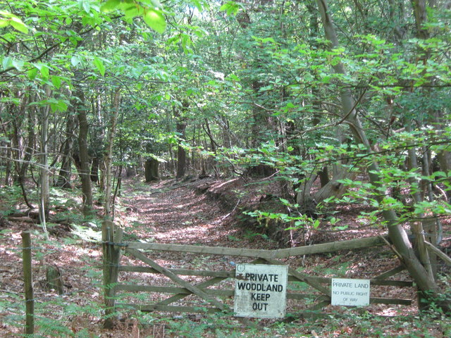
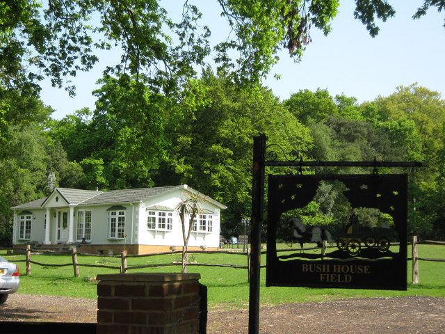
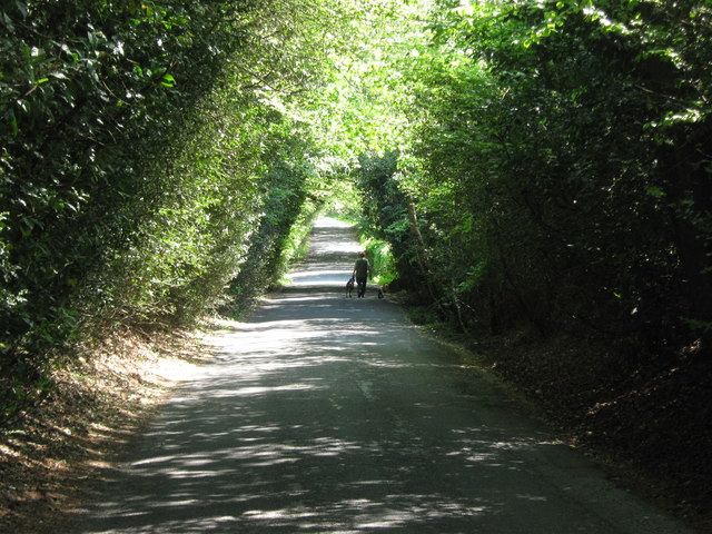
Frant Lakes Images
Images are sourced within 2km of 51.112835/0.29393637 or Grid Reference TQ6037. Thanks to Geograph Open Source API. All images are credited.

Frant Lakes is located at Grid Ref: TQ6037 (Lat: 51.112835, Lng: 0.29393637)
Administrative County: East Sussex
District: Wealden
Police Authority: Sussex
What 3 Words
///frozen.term.notice. Near Royal Tunbridge Wells, Kent
Nearby Locations
Related Wikis

Frant railway station
Frant railway station is on the Hastings line in East Sussex, England, and serves the civil parish of Frant (although the station is actually located some...

Kent and Sussex Crematorium and Cemetery
The Kent and Sussex Crematorium and Cemetery is a crematorium and cemetery located in Royal Tunbridge Wells in the county of Kent, England. == Background... ==

Hawkenbury, Tunbridge Wells
Hawkenbury is a small village area located in the south east of Royal Tunbridge Wells, Kent, England. == History == Hawkenbury was settled before Tunbridge...

Nevill Ground
The Nevill Ground is a cricket ground at Royal Tunbridge Wells in the English county of Kent. It is owned by Tunbridge Wells Borough Council and is used...

St Alban's Church, Frant
St Alban's Church is a Church of England parish church in Frant, East Sussex, England. It was built in 1819–22 in a fifteenth-century gothic revival style...

Dunorlan Park
Dunorlan Park is a park and grounds in Royal Tunbridge Wells, UK. Totalling approximately 78 acres (32 ha) and containing a 6-acre (2.4 ha) lake, the grounds...

Frant
Frant is a village and civil parish in the Wealden District of East Sussex, England, on the Kentish border about three miles (5 km) south of Royal Tunbridge...

Beechwood School, Royal Tunbridge Wells
Beechwood School is a co-educational independent day and boarding school for children aged 3–18, which comprises a Nursery, Preparatory School and Senior...
Have you been to Frant Lakes?
Leave your review of Frant Lakes below (or comments, questions and feedback).