Church Pond
Lake, Pool, Pond, Freshwater Marsh in Essex Uttlesford
England
Church Pond
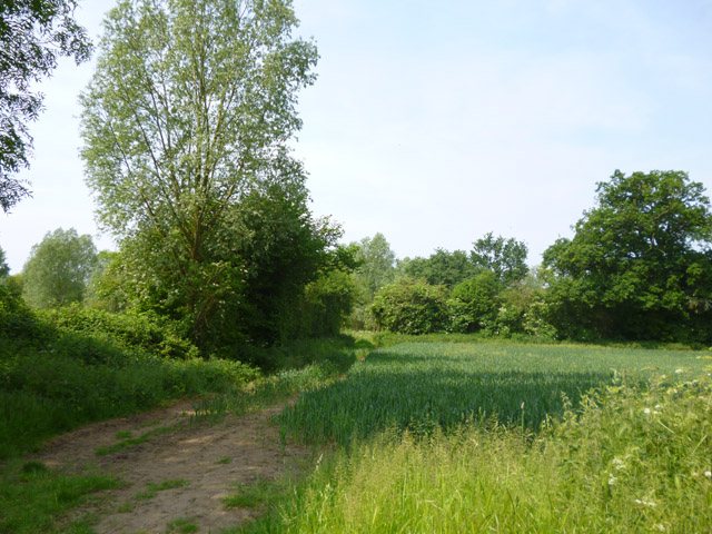
Church Pond is a picturesque body of water located in the county of Essex, England. It is a small, yet captivating freshwater feature, often referred to as a pond, although its size resembles that of a small lake. Nestled within a serene and lush landscape, this natural wonder offers visitors a tranquil retreat from the bustling city life.
The pond spans approximately 1.5 acres and is surrounded by dense vegetation, including reeds, grasses, and several species of trees, creating a serene and idyllic atmosphere. It is fed by a combination of natural springs and rainfall, ensuring a constant supply of freshwater throughout the year. The water is exceptionally clear, allowing visitors to observe the diverse aquatic life that thrives within its depths.
Church Pond serves as a haven for various species of birds, making it a popular spot for birdwatchers. Swans, ducks, geese, and herons can often be spotted gracefully gliding across the water's surface or nesting in the surrounding vegetation. The pond also supports a diverse array of fish, including perch, roach, and carp, making it a favored spot for anglers.
The area surrounding Church Pond offers ample opportunities for leisurely walks, picnics, and other recreational activities. A well-maintained footpath encircles the pond, allowing visitors to fully appreciate its natural beauty from every angle. Additionally, benches and picnic tables are strategically placed along the path, inviting visitors to relax and take in the serene surroundings.
In conclusion, Church Pond in Essex is a charming freshwater feature that provides a peaceful haven for both wildlife and visitors alike. Its tranquil ambiance, diverse aquatic life, and surrounding natural beauty make it a must-visit destination for those seeking a respite from the hustle and bustle of everyday life.
If you have any feedback on the listing, please let us know in the comments section below.
Church Pond Images
Images are sourced within 2km of 51.889829/0.33137841 or Grid Reference TL6023. Thanks to Geograph Open Source API. All images are credited.


Church Pond is located at Grid Ref: TL6023 (Lat: 51.889829, Lng: 0.33137841)
Administrative County: Essex
District: Uttlesford
Police Authority: Essex
What 3 Words
///lower.sailing.timer. Near Great Dunmow, Essex
Nearby Locations
Related Wikis
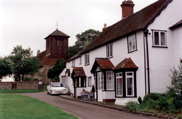
Little Easton
Little Easton is a village and civil parish in Essex, England. The village is situated approximately 7 miles (11 km) east from the town of Bishop's Stortford...

Easton Lodge
Easton Lodge was a Victorian Gothic style stately home in Little Easton and north-west of Great Dunmow, Essex, England. Once famous for its weekend society...
Great Easton, Essex
Great Easton is a village and civil parish in the Uttlesford district in Essex, England.Great Easton village is about 2 miles (3.2 km) north of Great Dunmow...
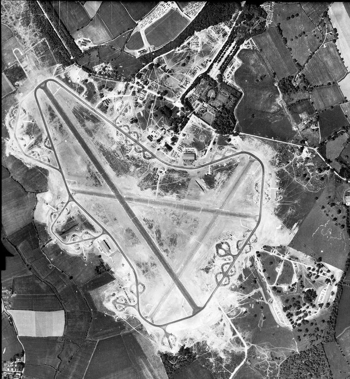
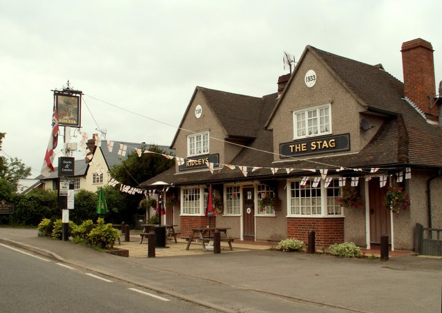
RAF Great Dunmow
Royal Air Force Great Dunmow or more simply RAF Great Dunmow is a former Royal Air Force station in the parish of Little Easton, Essex, England. The airfield...

Helena Romanes School
Helena Romanes School (also known/abbreviated as HRS) is a coeducational all-through school and sixth form. It is situated in Great Dunmow in the English...

High Wood, Dunmow
High Wood, Dunmow is a 41.5-hectare (103-acre) biological Site of Special Scientific Interest in Great Dunmow in Essex. The local planning authority is...

Stane Street (Colchester)
Stane Street is a 39 mi (63 km) Roman road that runs from Ermine Street at Braughing, Hertfordshire to Colchester in Essex. == Route == Stane Street can...

Talliston House
Talliston House & Gardens is an ex-council house in Essex, England that has been transformed by owner John Trevillian into a miniature palace. The house...
Related Videos

Is it safe for dogs to play with balls?...#shorts #field #dog #owner #ball
Avoid outdoor activity on hot or humid days. Ball obsessions can mean that dogs don't stop when they should causing them to ...

St John & St Giles Church, Great Easton, Essex, November 2022
St John & St Giles Church, Great Easton, Essex, November 2022.
Nearby Amenities
Located within 500m of 51.889829,0.33137841Have you been to Church Pond?
Leave your review of Church Pond below (or comments, questions and feedback).