Horse Pond
Lake, Pool, Pond, Freshwater Marsh in Essex Uttlesford
England
Horse Pond
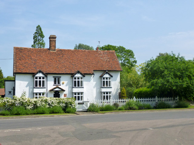
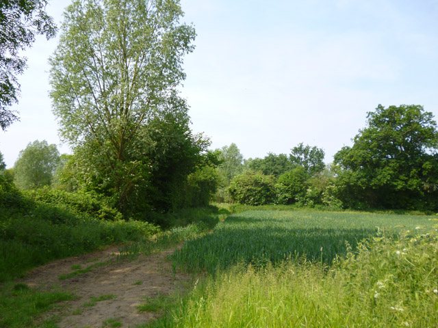
Horse Pond, located in Essex, is a picturesque natural water feature that can be classified as a combination of a lake, pool, pond, and freshwater marsh. This tranquil body of water covers an area of approximately 5 acres, making it an ideal destination for nature lovers and wildlife enthusiasts.
Surrounded by lush greenery and tall trees, Horse Pond offers a serene and peaceful atmosphere. The water in the pond is fresh and clear, supporting a diverse ecosystem of aquatic plants and wildlife. Visitors can expect to see various species of fish, frogs, and waterfowl, adding to the charm and natural beauty of the area.
The pond itself is relatively shallow, with an average depth of around 4 feet. It is fed by several small streams and natural springs, ensuring a constant flow of freshwater. The marshy areas around the pond are home to unique wetland plants, providing a habitat for numerous amphibians and insects.
Horse Pond is a popular spot for recreational activities such as fishing and birdwatching. Anglers can try their luck at catching species like bass, perch, and catfish that inhabit the pond. The peaceful surroundings and abundance of birdlife make it an excellent location for birdwatchers, with sightings of herons, ducks, and various other water birds being common.
Overall, Horse Pond in Essex offers a tranquil escape from the hustle and bustle of daily life, providing a haven for both wildlife and visitors seeking a peaceful connection with nature.
If you have any feedback on the listing, please let us know in the comments section below.
Horse Pond Images
Images are sourced within 2km of 51.887056/0.32745645 or Grid Reference TL6023. Thanks to Geograph Open Source API. All images are credited.


Horse Pond is located at Grid Ref: TL6023 (Lat: 51.887056, Lng: 0.32745645)
Administrative County: Essex
District: Uttlesford
Police Authority: Essex
What 3 Words
///hoaxes.landlords.calibrate. Near Great Dunmow, Essex
Nearby Locations
Related Wikis
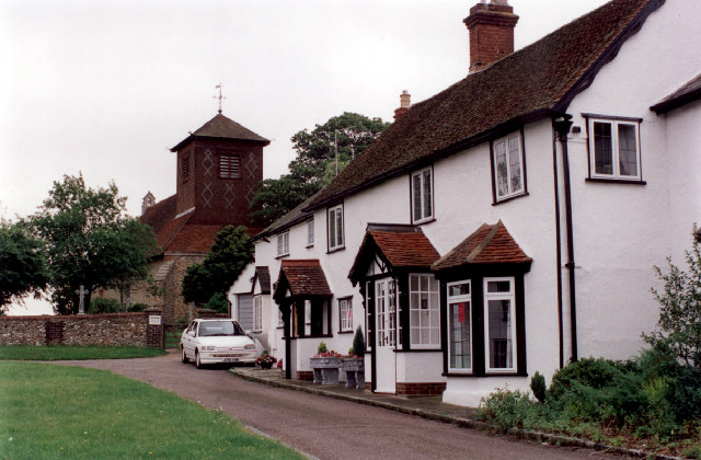
Little Easton
Little Easton is a village and civil parish in Essex, England. The village is situated approximately 7 miles (11 km) east from the town of Bishop's Stortford...

Easton Lodge
Easton Lodge was a Victorian Gothic style stately home in Little Easton and north-west of Great Dunmow, Essex, England. Once famous for its weekend society...
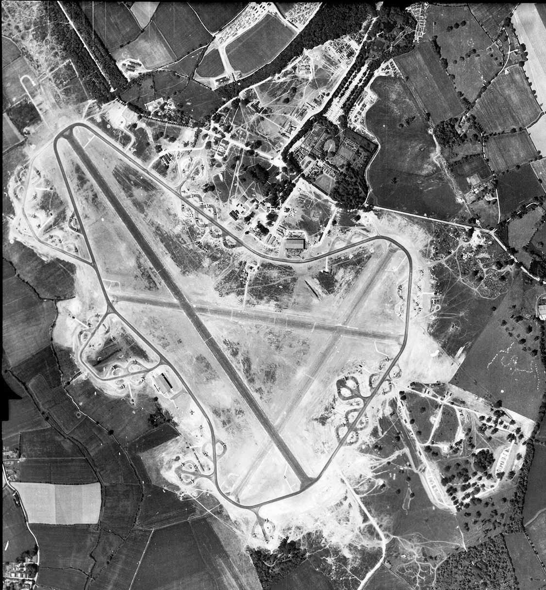
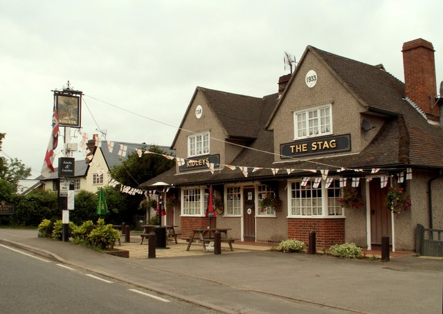
RAF Great Dunmow
Royal Air Force Great Dunmow or more simply RAF Great Dunmow is a former Royal Air Force station in the parish of Little Easton, Essex, England. The airfield...

High Wood, Dunmow
High Wood, Dunmow is a 41.5-hectare (103-acre) biological Site of Special Scientific Interest in Great Dunmow in Essex. The local planning authority is...
Great Easton, Essex
Great Easton is a village and civil parish in the Uttlesford district in Essex, England.Great Easton village is about 2 miles (3.2 km) north of Great Dunmow...

Helena Romanes School
Helena Romanes School (also known/abbreviated as HRS) is a coeducational all-through school and sixth form. It is situated in Great Dunmow in the English...

Stane Street (Colchester)
Stane Street is a 39 mi (63 km) Roman road that runs from Ermine Street at Braughing, Hertfordshire to Colchester in Essex. == Route == Stane Street can...
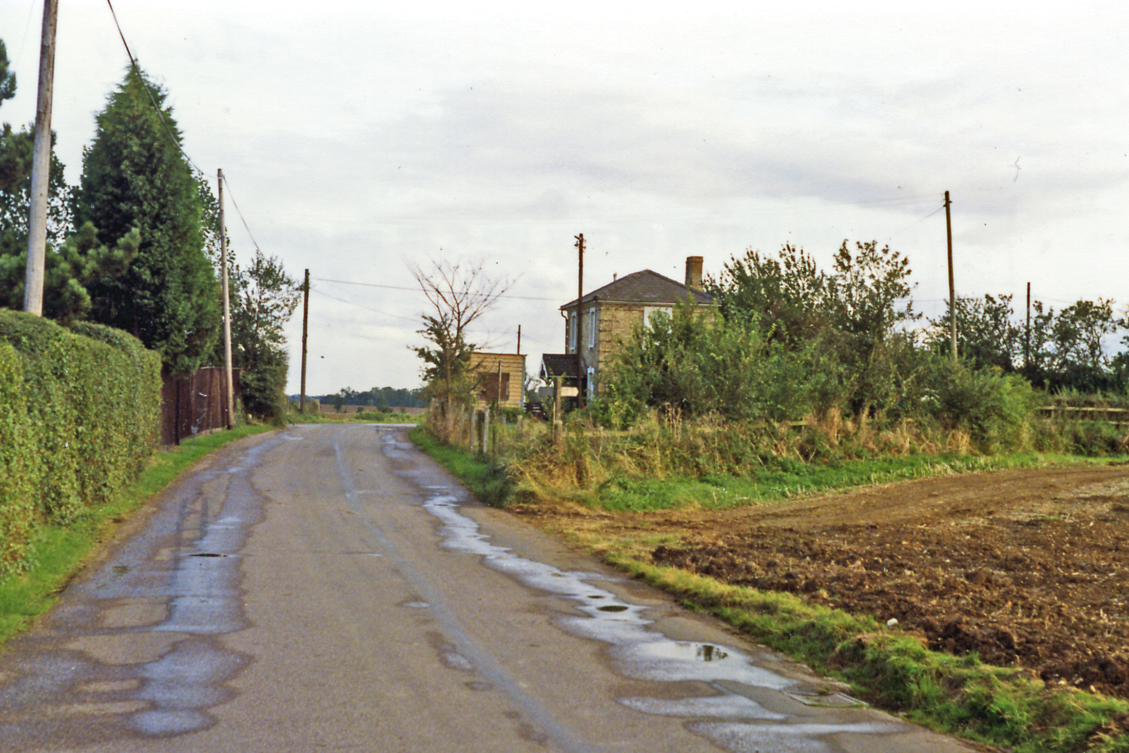
Easton Lodge railway station
Easton Lodge railway station was located to the west of Great Dunmow, Essex, near Easton Lodge. The station on the Bishop's Stortford to Braintree branch...
Nearby Amenities
Located within 500m of 51.887056,0.32745645Have you been to Horse Pond?
Leave your review of Horse Pond below (or comments, questions and feedback).