Neptune Pond
Lake, Pool, Pond, Freshwater Marsh in Kent Sevenoaks
England
Neptune Pond
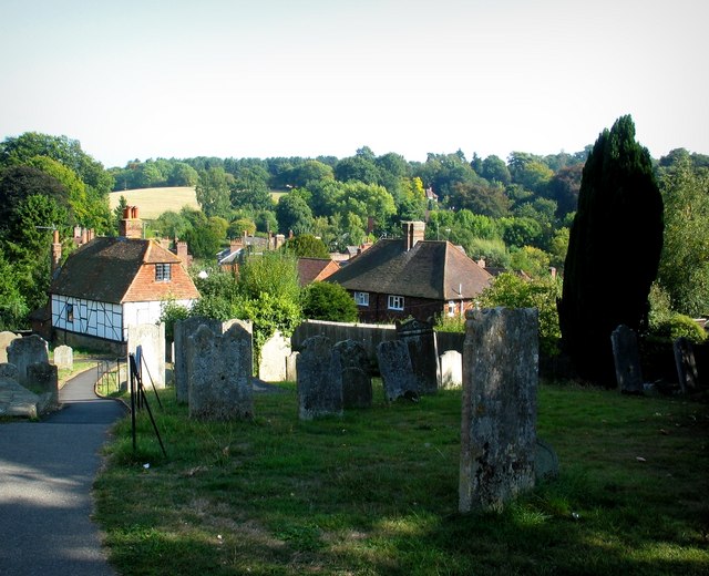
Neptune Pond, located in Kent County, is a picturesque freshwater marsh that offers a tranquil and serene environment for visitors. Spread across a vast area, it is often referred to as a lake, pool, pond, or marsh due to its diverse characteristics.
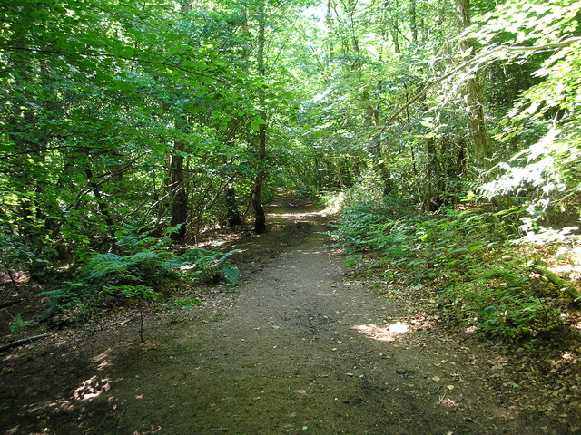
The pond is surrounded by lush greenery, including tall reeds, cattails, and various aquatic plants, creating a vibrant ecosystem. The water body itself is relatively shallow, with an average depth ranging from a few feet to a maximum of 15 feet in some areas. This makes it an ideal habitat for a wide range of aquatic species, including fish, turtles, frogs, and various bird species.
The pond's water is primarily sourced from rainwater and runoff, ensuring a constant flow of fresh, clean water. Additionally, it receives some groundwater inflow, which helps maintain its water levels during dry periods. Due to the presence of these water sources, Neptune Pond remains relatively stable throughout the year.
The calm and peaceful ambiance of Neptune Pond makes it a popular spot for nature enthusiasts, birdwatchers, and photographers. Visitors can observe a variety of bird species, including herons, ducks, geese, and songbirds, as they make their homes in the surrounding marshland. The pond also attracts anglers who enjoy fishing for bass, bluegill, and catfish.
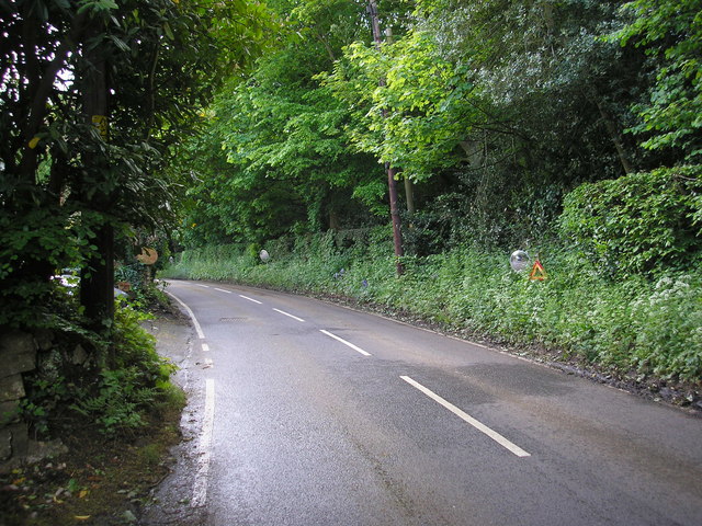
Neptune Pond is easily accessible, with a well-maintained walking trail that encircles its perimeter. This allows visitors to explore the pond's diverse flora and fauna while enjoying the scenic views. The pond's natural beauty and diverse ecosystem make it a must-visit destination for nature lovers in Kent County.
If you have any feedback on the listing, please let us know in the comments section below.
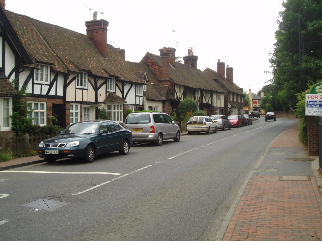
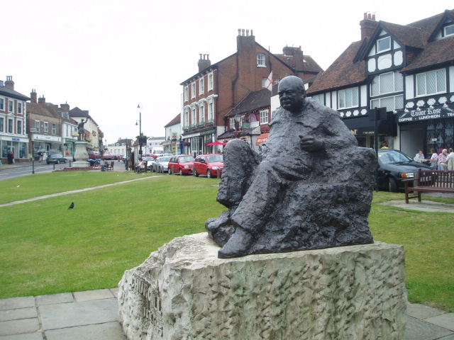
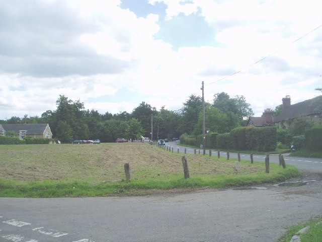
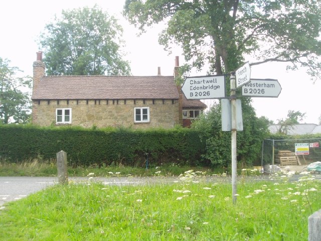
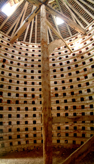
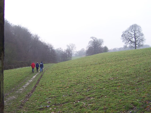
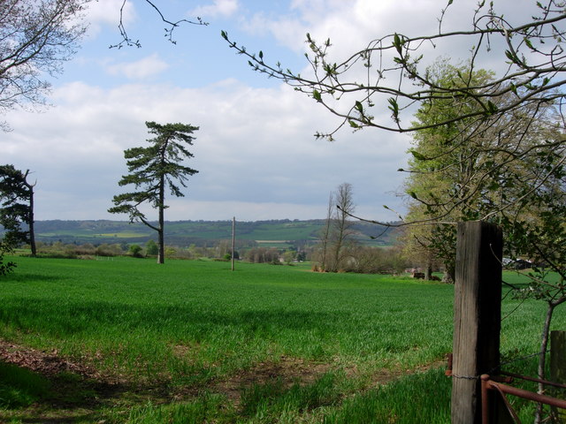
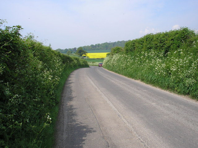
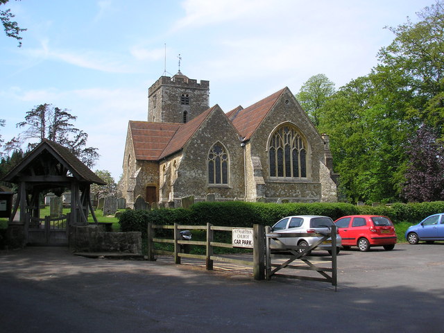
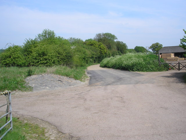
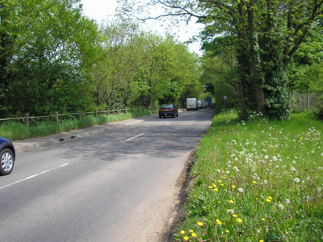
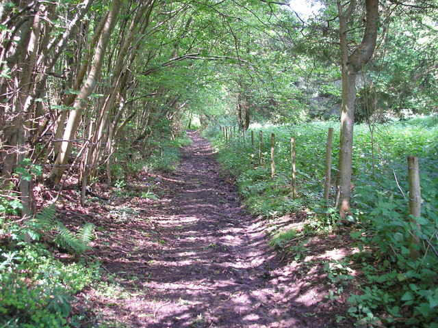
Neptune Pond Images
Images are sourced within 2km of 51.269095/0.093923035 or Grid Reference TQ4654. Thanks to Geograph Open Source API. All images are credited.

Neptune Pond is located at Grid Ref: TQ4654 (Lat: 51.269095, Lng: 0.093923035)
Administrative County: Kent
District: Sevenoaks
Police Authority: Kent
What 3 Words
///small.later.congratulations. Near Westerham, Kent
Nearby Locations
Related Wikis

Quebec House
Quebec House is the birthplace of General James Wolfe on what is now known as Quebec Square in Westerham, Kent, England. The house is listed Grade I on...
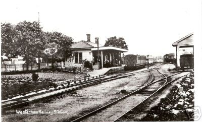
Westerham railway station
Westerham railway station served the village of Westerham in Kent from 1881 until its closure in 1961. == History == No railway was ever constructed all...

Brasted
Brasted is a village and civil parish in the Sevenoaks District of Kent, England. Brasted lies on the A25 road, between Sundridge and Westerham; the road...

Westerham Mines
Westerham Mines is a 25.4-hectare (63-acre) biological Site of Special Scientific Interest south of Westerham in Kent.The main interest of this site lies...

R. Durtnell & Sons
R. Durtnell & Sons was an English building company established in 1591 that had been continuously in the same family in Brasted, in the English county...

Westerham
Westerham is a town and civil parish in the Sevenoaks District of Kent, England. It is located 3.4 miles east of Oxted and 6 miles west of Sevenoaks, adjacent...

Brasted railway station
Brasted is a disused intermediate railway station in Brasted, Kent on the closed Westerham Valley branch line. The station closed in 1961 and the site...

Squerryes Estate
Squerryes Estate is a vineyard, estate, and location of Squerryes Court, a grade I listed building in Kent, England. It is a producer of English sparkling...
Nearby Amenities
Located within 500m of 51.269095,0.093923035Have you been to Neptune Pond?
Leave your review of Neptune Pond below (or comments, questions and feedback).