Valence Wood
Wood, Forest in Kent Sevenoaks
England
Valence Wood
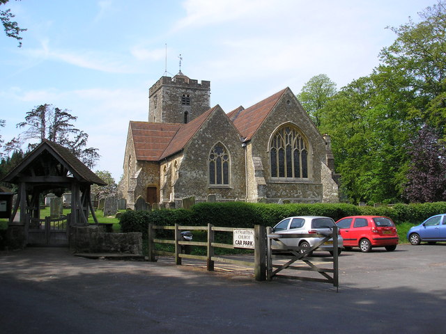
Valence Wood is a picturesque woodland located in the county of Kent, England. Covering an area of approximately 100 acres, it is a popular destination for nature enthusiasts and walkers alike. The wood is situated near the town of Gillingham, within the larger Valence Park area.
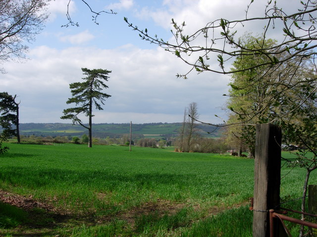
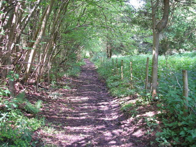
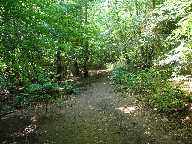
The woodland boasts a diverse range of flora and fauna, making it an important ecological site. Visitors can expect to encounter a variety of tree species, including oak, beech, and birch, which create a dense and enchanting canopy. Additionally, the forest floor is adorned with a rich carpet of bluebells and wildflowers during the spring months.
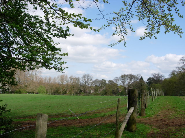
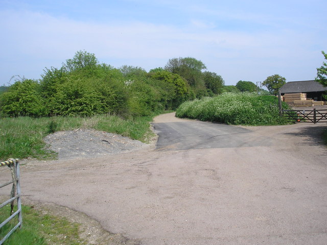
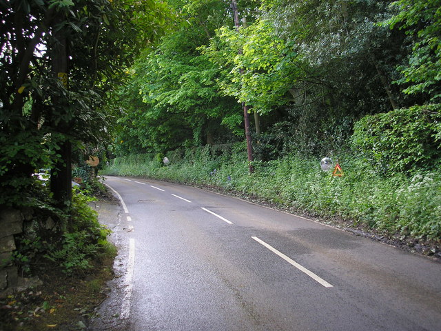
Several well-maintained footpaths traverse the wood, allowing visitors to explore its beauty and immerse themselves in nature. There are also designated picnic areas and benches scattered throughout the woodland, providing opportunities for relaxation and enjoyment of the surroundings.
Valence Wood is not only a haven for wildlife but also a site of historical significance. It is believed to have been part of an ancient forest that covered much of Kent during medieval times. Remnants of this history can still be observed in the form of old timbered structures and the presence of ancient trees.
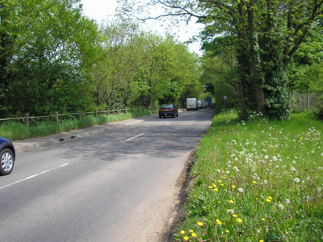
The wood is easily accessible, with ample parking available nearby. It offers a peaceful retreat from the hustle and bustle of everyday life, providing an ideal setting for nature lovers, families, and individuals seeking solace in a tranquil environment.
If you have any feedback on the listing, please let us know in the comments section below.
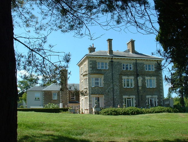
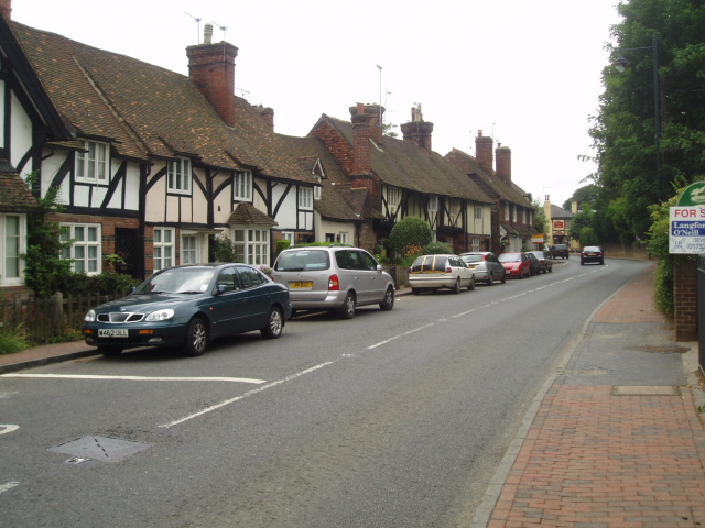
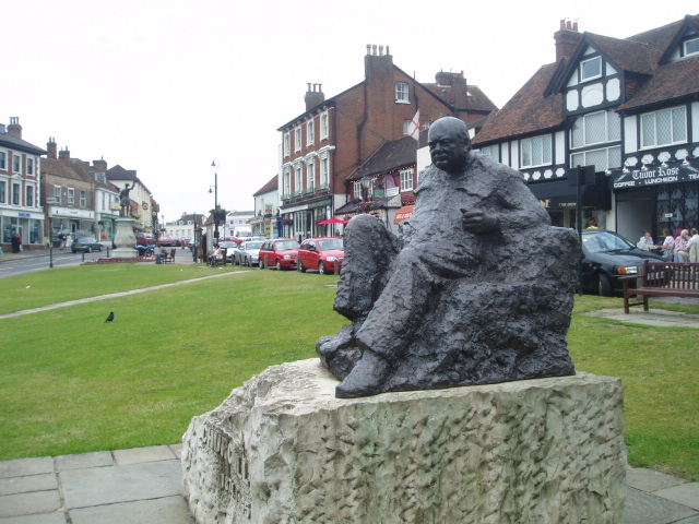
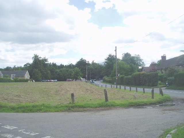
Valence Wood Images
Images are sourced within 2km of 51.266409/0.097313 or Grid Reference TQ4654. Thanks to Geograph Open Source API. All images are credited.


Valence Wood is located at Grid Ref: TQ4654 (Lat: 51.266409, Lng: 0.097313)
Administrative County: Kent
District: Sevenoaks
Police Authority: Kent
What 3 Words
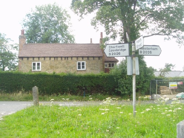
///watch.being.hooked. Near Westerham, Kent
Nearby Locations
Related Wikis

Westerham Mines
Westerham Mines is a 25.4-hectare (63-acre) biological Site of Special Scientific Interest south of Westerham in Kent.The main interest of this site lies...

Brasted
Brasted is a village and civil parish in the Sevenoaks District of Kent, England. Brasted lies on the A25 road, between Sundridge and Westerham; the road...

Quebec House
Quebec House is the birthplace of General James Wolfe on what is now known as Quebec Square in Westerham, Kent, England. The house is listed Grade I on...

R. Durtnell & Sons
R. Durtnell & Sons was an English building company established in 1591 that had been continuously in the same family in Brasted, in the English county...
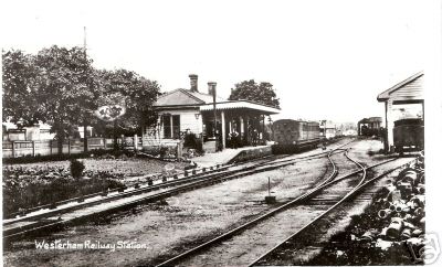
Westerham railway station
Westerham railway station served the village of Westerham in Kent from 1881 until its closure in 1961. == History == No railway was ever constructed all...

Brasted railway station
Brasted is a disused intermediate railway station in Brasted, Kent on the closed Westerham Valley branch line. The station closed in 1961 and the site...

Westerham
Westerham is a town and civil parish in the Sevenoaks District of Kent, England. It is located 3.4 miles east of Oxted and 6 miles west of Sevenoaks, adjacent...

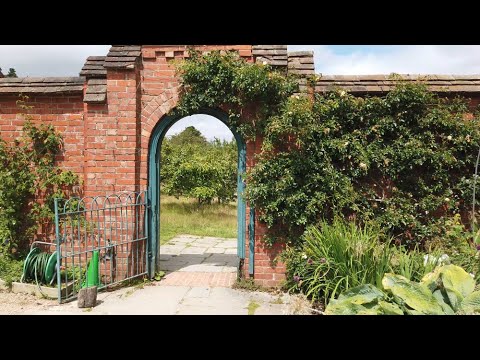
Emmetts Garden
Emmetts Garden is an Edwardian estate located at Ide Hill, near Sevenoaks in Kent, UK. It is now owned by the National Trust for Places of Historic Interest...
Related Videos

Westerham Kent Walk | HereWeGo | VIRTUAL WALKING TOUR | 4K HD
Here We Go to Westerham in Kent, England. Westerham is a town and civil parish in the Sevenoaks District of Kent, England.
Walking around Chartwell National Trust gardens
Chartwell was the much-loved Churchill family home from 1922. It's hillside gardens reflect Sir Winston's love of landscape and ...

Love Walking? Walk a historic 13 miles in our area of outstanding beauty around Westerham
Save £28* as its FREE to enter Chartwell gardens on this day if you collect your walking wristband from the checkpoint on the ...
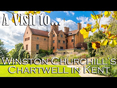
Our visit to Winston Churchill's Chartwell in Kent (National Trust)
New remix with improved audio available - https://youtu.be/YWlR15j90_4 A look around Winston Churchill's Chartwell estate in ...
Have you been to Valence Wood?
Leave your review of Valence Wood below (or comments, questions and feedback).