Lock Keepers Mere
Lake, Pool, Pond, Freshwater Marsh in Cambridgeshire South Cambridgeshire
England
Lock Keepers Mere
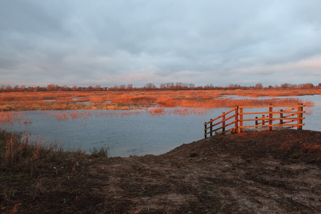
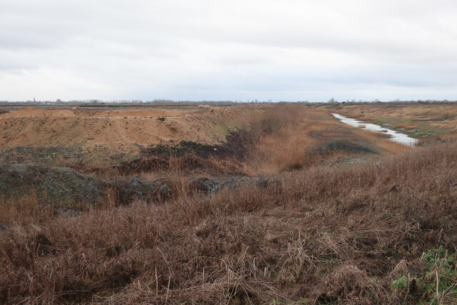
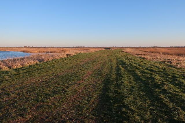
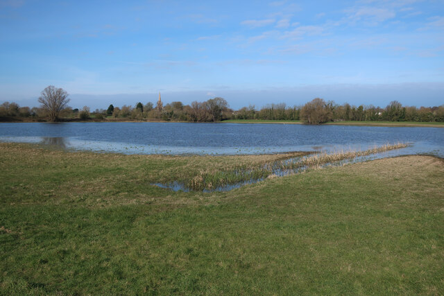
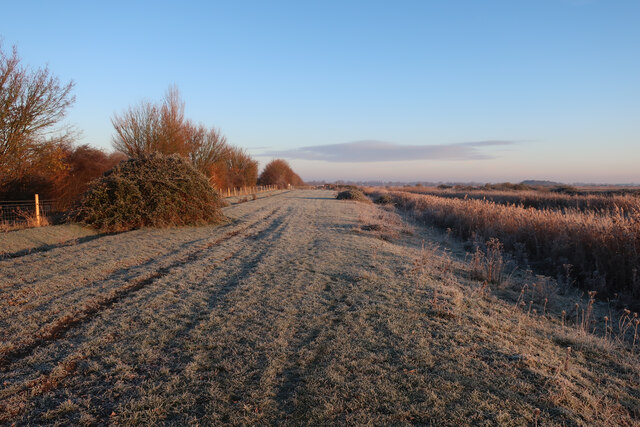
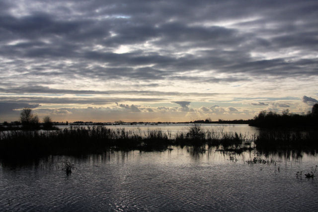
Lock Keepers Mere is a picturesque freshwater marsh located in Cambridgeshire, England. Situated near the village of Earith, this natural attraction covers an area of approximately 20 acres. The site gets its name from its historical connection to the nearby lock keepers who maintained the adjacent Old West River.
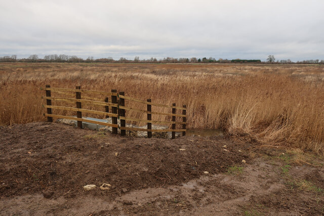
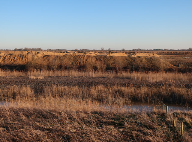
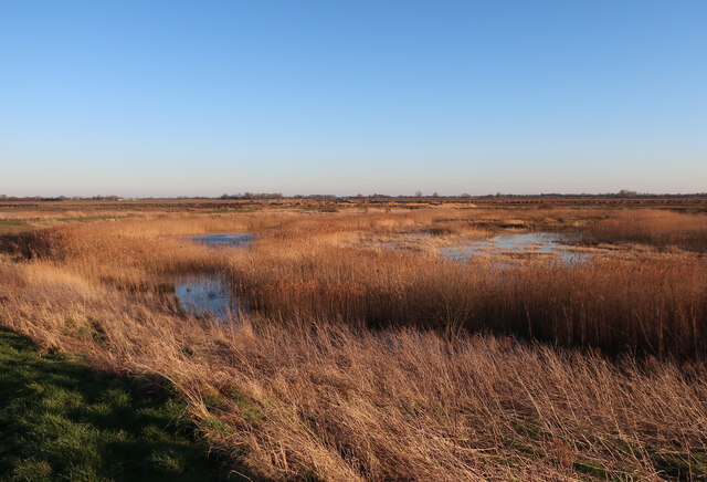
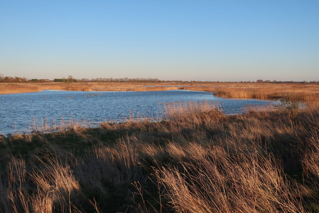
The mere is a haven for wildlife enthusiasts, offering a diverse range of habitats including a lake, pool, pond, and freshwater marsh. The lake itself is surrounded by reed beds and grassy areas, providing an ideal environment for various bird species such as swans, ducks, and herons to thrive. The pool and pond are home to a variety of aquatic plants and small fish, attracting dragonflies and other insects.
The surrounding freshwater marsh is a crucial breeding ground for many amphibians, including frogs and newts, as well as providing a habitat for a variety of plant species. Walking trails and observation points have been established around the mere, allowing visitors to enjoy the serene beauty of the area while observing the wildlife.
Lock Keepers Mere also offers recreational activities such as fishing and boating, providing a tranquil setting for anglers and boaters alike. The site is well-maintained, with designated areas for picnics and a small visitor center that provides information on the local flora and fauna.
Overall, Lock Keepers Mere in Cambridgeshire is a nature lover's paradise, offering a unique combination of diverse habitats and abundant wildlife.
If you have any feedback on the listing, please let us know in the comments section below.
Lock Keepers Mere Images
Images are sourced within 2km of 52.336761/0.018151439 or Grid Reference TL3772. Thanks to Geograph Open Source API. All images are credited.


![Houses at Bluntisham A semi-detached pair at the junction of Holliday&#039;s Road with Rectory Road [A1123]. The RH one looks as if it has nest boxes for swifts, or other birds, under the eaves?](https://s1.geograph.org.uk/geophotos/07/17/66/7176609_75df0a8f.jpg)

Lock Keepers Mere is located at Grid Ref: TL3772 (Lat: 52.336761, Lng: 0.018151439)
Administrative County: Cambridgeshire
District: South Cambridgeshire
Police Authority: Cambridgeshire
What 3 Words
///pythons.dude.blank. Near Bluntisham, Cambridgeshire
Nearby Locations
Related Wikis

New Bedford River
The New Bedford River, also known as the Hundred Foot Drain because of the distance between the tops of the two embankments on either side of the river...

Cambridgeshire
Cambridgeshire (abbreviated Cambs.) is a ceremonial county in the East of England and East Anglia. It is bordered by Lincolnshire to the north, Norfolk...
List of Sites of Special Scientific Interest in Cambridgeshire
Cambridgeshire is a county in eastern England, with an area of 339,746 hectares (1,312 sq mi) and a population as of mid-2015 of 841,218. It is crossed...

List of local nature reserves in Cambridgeshire
Cambridgeshire is a county in eastern England, with an area of 1,308 square miles (3,390 km2) and a population as of 2011 of 708,719. It is crossed by...

Bluntisham
Bluntisham is a village and civil parish in Cambridgeshire, England. The population of the civil parish at the 2011 census was 2,003. Bluntisham lies approximately...

Earith
Earith is a village and civil parish in Cambridgeshire, England. Lying approximately 10 miles (16 km) east of Huntingdon, Earith is situated within Huntingdonshire...

Berry Fen
Berry Fen is a 15.3-hectare (38-acre) biological Site of Special Scientific Interest on the western outskirts of Earith in Cambridgeshire.This neutral...

Bluntisham railway station
Bluntisham railway station was a station in Bluntisham, Cambridgeshire on the Ely and St Ives Railway. The station closed for regular passenger services...
Nearby Amenities
Located within 500m of 52.336761,0.018151439Have you been to Lock Keepers Mere?
Leave your review of Lock Keepers Mere below (or comments, questions and feedback).