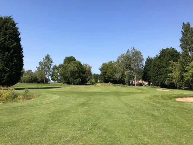
Partridge Fishing Lake
Lake, Pool, Pond, Freshwater Marsh in Lincolnshire South Holland
England
Partridge Fishing Lake
The requested URL returned error: 429 Too Many Requests
If you have any feedback on the listing, please let us know in the comments section below.
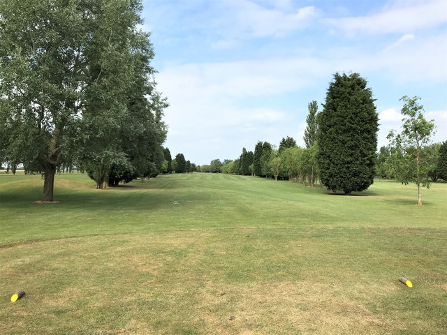
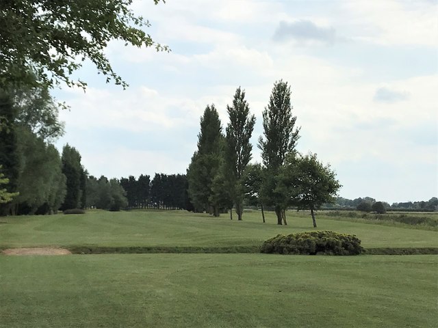
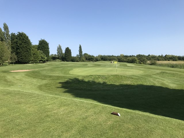
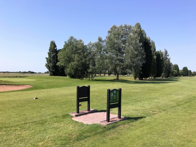
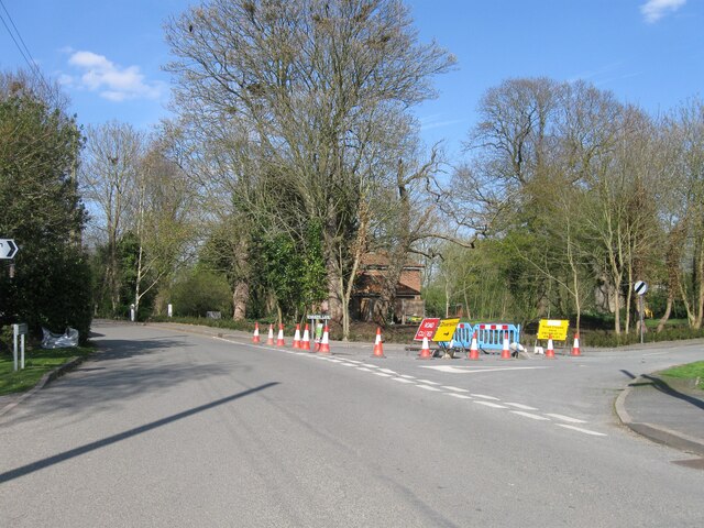
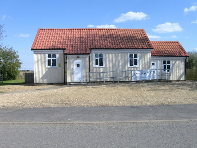
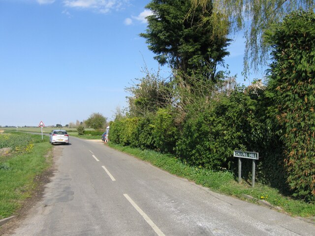
Partridge Fishing Lake Images
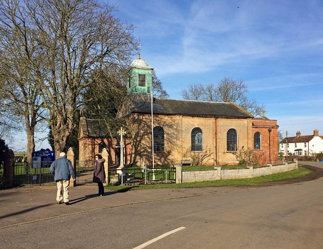
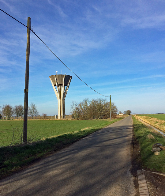
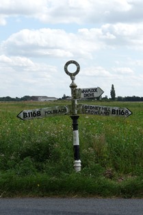
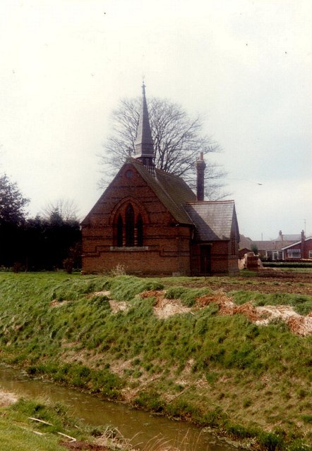
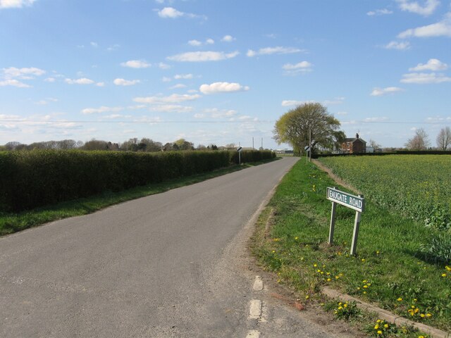
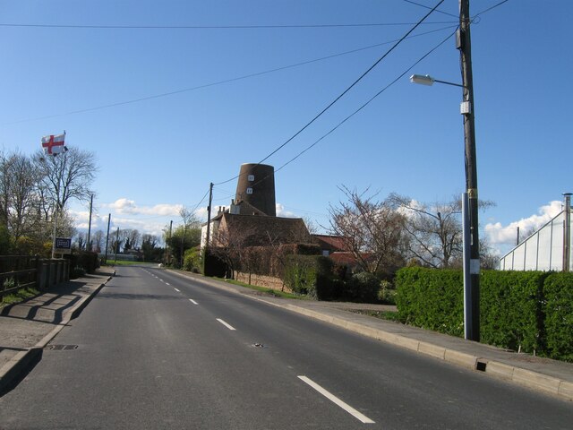
Images are sourced within 2km of 52.70076/-0.037160242 or Grid Reference TF3213. Thanks to Geograph Open Source API. All images are credited.


Partridge Fishing Lake is located at Grid Ref: TF3213 (Lat: 52.70076, Lng: -0.037160242)
Administrative County: Lincolnshire
District: South Holland
Police Authority: Lincolnshire
What 3 Words
///cools.lends.gloves. Near Gedney Hill, Lincolnshire
Nearby Locations
Related Wikis

Whaplode Drove
Whaplode Drove is a village in the civil parish of Whaplode , in the South Holland district of Lincolnshire, England. It is approximately 10 miles (16...

Holbeach Drove
Holbeach Drove is a village in the South Holland district of Lincolnshire, England. It is situated approximately 5 miles (8 km) east from Crowland, and...

Shepeau Stow, Lincolnshire
Shepeau Stow is a hamlet in the South Holland district of Lincolnshire, England. It is at the north-east edge of Whaplode civil parish, where it adjoins...
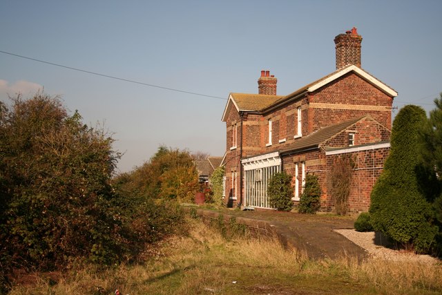
Postland railway station
Postland railway station was a station on the Great Northern and Great Eastern Joint Railway in Crowland, Lincolnshire, which is now closed. It took its...
Nearby Amenities
Located within 500m of 52.70076,-0.037160242Have you been to Partridge Fishing Lake?
Leave your review of Partridge Fishing Lake below (or comments, questions and feedback).