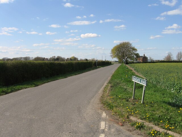
Ashleigh Fishing Lake
Lake, Pool, Pond, Freshwater Marsh in Lincolnshire South Holland
England
Ashleigh Fishing Lake
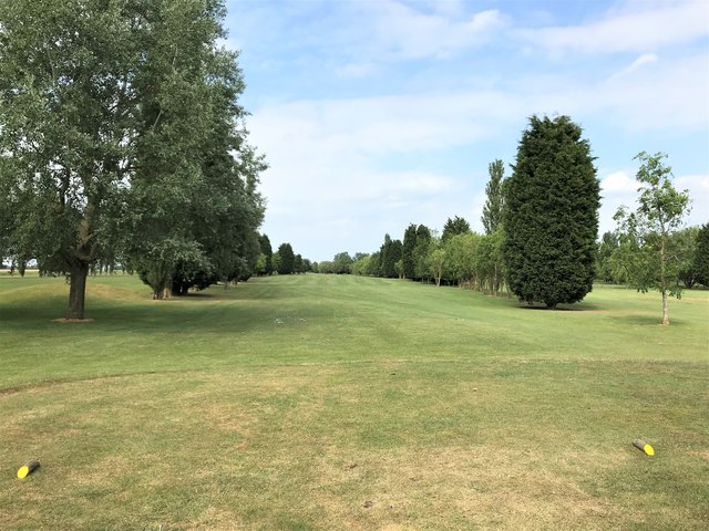
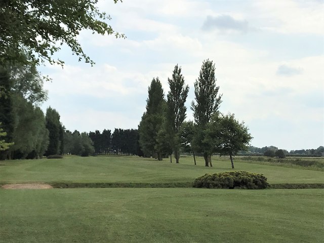
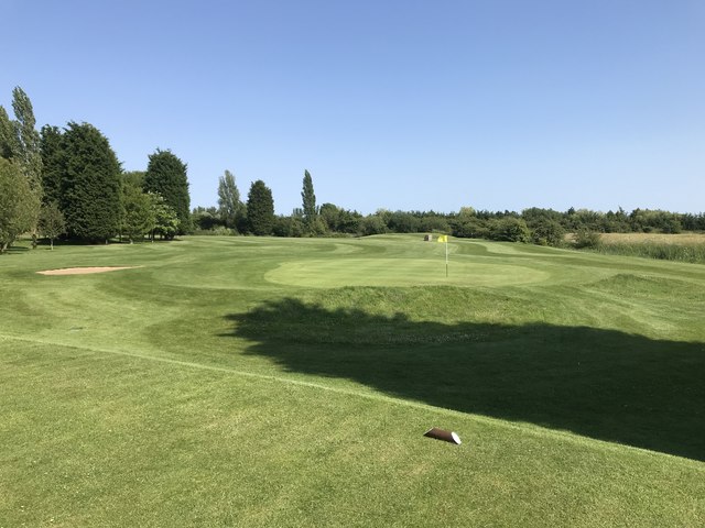
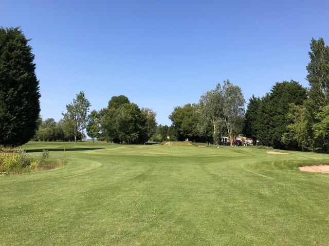
Ashleigh Fishing Lake is a serene freshwater fishing spot located in Lincolnshire, England. Nestled amidst the picturesque countryside, the lake is a haven for fishing enthusiasts seeking tranquility and a chance to reel in some impressive catches.
Covering an area of approximately 3 acres, Ashleigh Fishing Lake offers a variety of fishing options, including coarse and match fishing. The lake is well-stocked with a range of fish species, including carp, bream, roach, and tench, ensuring there is something for every angler's preference. The carp in particular are known to reach impressive sizes, providing an exciting challenge for experienced anglers.
The lake is surrounded by lush greenery and is carefully maintained to provide an optimal fishing experience. The banks are well-maintained, providing ample space for anglers to set up their equipment comfortably. Additionally, there are designated pegs along the banks, ensuring fair access for all fishermen.
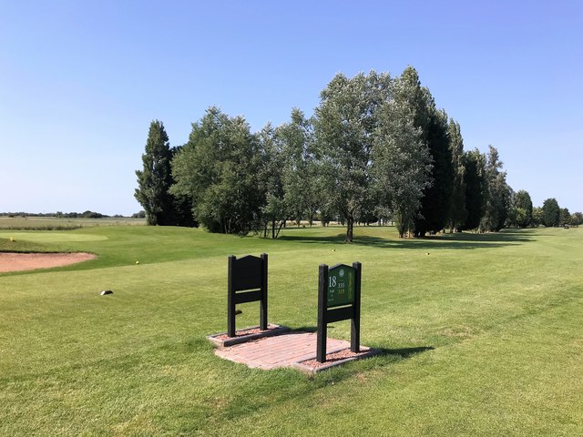
Facilities at Ashleigh Fishing Lake are designed with the angler's convenience in mind. There is a well-equipped tackle shop on-site, offering a wide range of fishing equipment and bait. Toilet facilities are also available for visitors' convenience.
Visitors to Ashleigh Fishing Lake can enjoy a peaceful day of fishing surrounded by the natural beauty of Lincolnshire. Whether you are an experienced angler or a novice looking to try your hand at fishing, this tranquil fishing spot promises a rewarding and enjoyable experience.
If you have any feedback on the listing, please let us know in the comments section below.
Ashleigh Fishing Lake Images
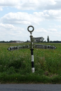
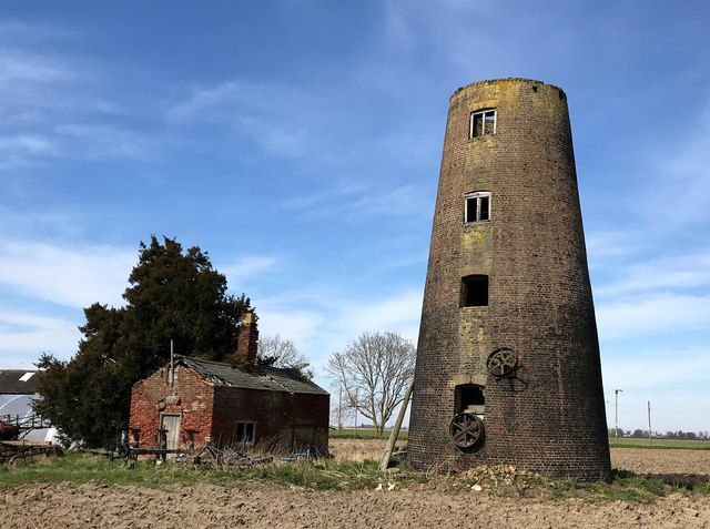
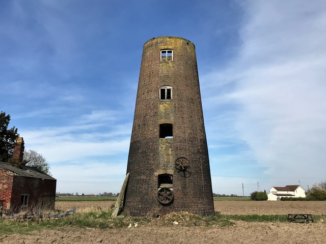
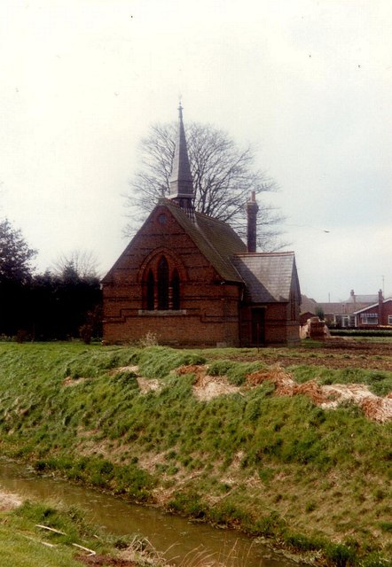
Images are sourced within 2km of 52.70013/-0.043641471 or Grid Reference TF3213. Thanks to Geograph Open Source API. All images are credited.
Ashleigh Fishing Lake is located at Grid Ref: TF3213 (Lat: 52.70013, Lng: -0.043641471)
Administrative County: Lincolnshire
District: South Holland
Police Authority: Lincolnshire
What 3 Words
///button.agent.dancer. Near Gedney Hill, Lincolnshire
Nearby Locations
Related Wikis

Whaplode Drove
Whaplode Drove is a village in the civil parish of Whaplode , in the South Holland district of Lincolnshire, England. It is approximately 10 miles (16...

Holbeach Drove
Holbeach Drove is a village in the South Holland district of Lincolnshire, England. It is situated approximately 5 miles (8 km) east from Crowland, and...

Shepeau Stow, Lincolnshire
Shepeau Stow is a hamlet in the South Holland district of Lincolnshire, England. It is at the north-east edge of Whaplode civil parish, where it adjoins...
Postland railway station
Postland railway station was a station on the Great Northern and Great Eastern Joint Railway in Crowland, Lincolnshire, which is now closed. It took its...

Gedney Hill
Gedney Hill is a village and civil parish in South Holland district of Lincolnshire, England. The population of the civil parish at the 2011 census was...

French Drove and Gedney Hill railway station
French Drove and Gedney Hill was a station on the Great Northern and Great Eastern Joint Railway near Gedney Hill in south Lincolnshire on the line between...

Fenland Airfield
Fenland Airfield or Fenland Aerodrome (ICAO: EGCL) is located 6 nautical miles (11 km; 6.9 mi) southeast of the town Spalding near the small village of...
Sutton St Edmund
Sutton St Edmunds is a village and civil parish in the South Holland district of Lincolnshire, England, about 14 miles (23 km) south-east from the town...
Nearby Amenities
Located within 500m of 52.70013,-0.043641471Have you been to Ashleigh Fishing Lake?
Leave your review of Ashleigh Fishing Lake below (or comments, questions and feedback).