Robertsmere Lake
Lake, Pool, Pond, Freshwater Marsh in Sussex Mid Sussex
England
Robertsmere Lake

Robertsmere Lake is a picturesque freshwater body located in Sussex, England. Spanning an area of approximately 10 acres, it is often referred to as a lake, pool, pond, or freshwater marsh due to its diverse characteristics. The lake is situated amidst lush greenery and is surrounded by a mix of deciduous and coniferous trees, adding to its serene ambiance.
With its crystal-clear waters, Robertsmere Lake serves as a habitat for a wide variety of aquatic flora and fauna. The lake's water is primarily sourced from rainfall and natural springs, resulting in a consistently high water quality. This makes it an ideal environment for numerous species of fish, including perch, roach, and pike, which attract fishing enthusiasts throughout the year.
The lake's shoreline is rich in vegetation, featuring reeds, rushes, and water lilies, providing shelter and nesting grounds for many bird species. Visitors can often spot ducks, swans, herons, and kingfishers gracefully gliding across the water or perched on the branches of overhanging trees.
Robertsmere Lake is a popular destination for nature lovers, photographers, and those seeking tranquility away from the hustle and bustle of urban life. It offers a peaceful setting for leisurely walks, picnics, and birdwatching. The lake's surrounding area also provides ample opportunities for nature trails, allowing visitors to explore the diverse flora and fauna that thrive in the region.
Overall, Robertsmere Lake is a stunning freshwater body, offering a harmonious blend of natural beauty and wildlife. Its serene atmosphere and diverse ecosystem make it a beloved destination for both locals and tourists alike.
If you have any feedback on the listing, please let us know in the comments section below.
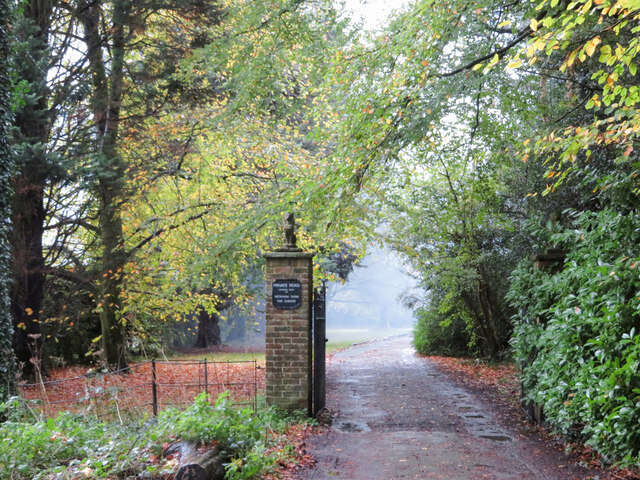
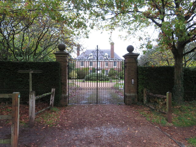
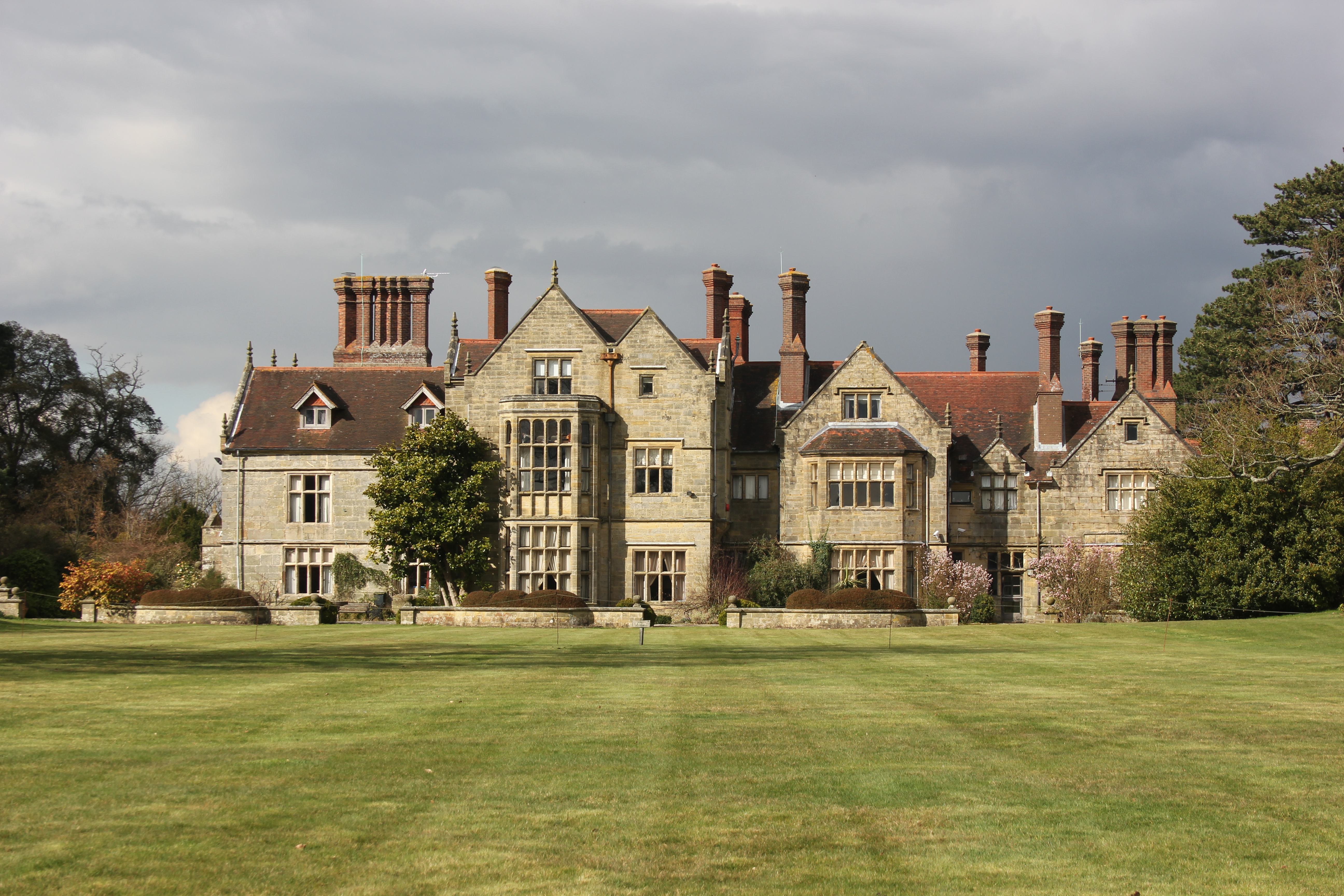
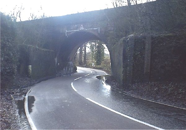
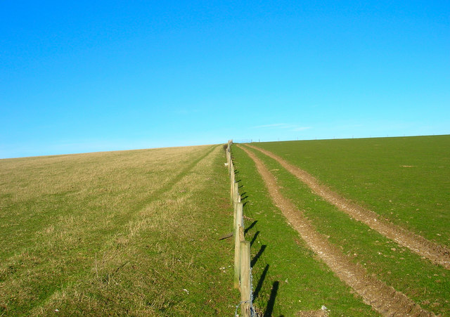
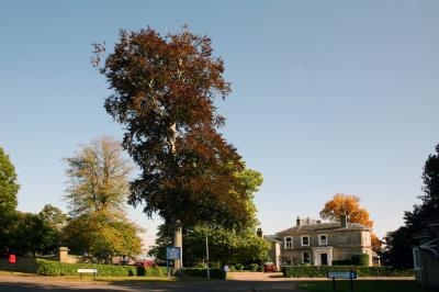
Robertsmere Lake Images
Images are sourced within 2km of 51.01979/-0.11505382 or Grid Reference TQ3226. Thanks to Geograph Open Source API. All images are credited.


Robertsmere Lake is located at Grid Ref: TQ3226 (Lat: 51.01979, Lng: -0.11505382)
Administrative County: West Sussex
District: Mid Sussex
Police Authority: Sussex
What 3 Words
///televise.capacity.appoints. Near South Nutfield, Surrey
Nearby Locations
Related Wikis
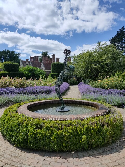
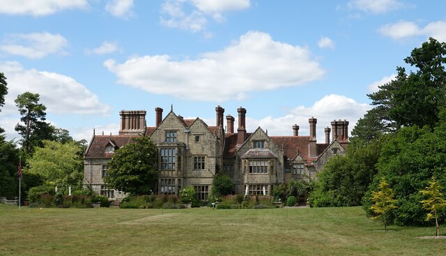
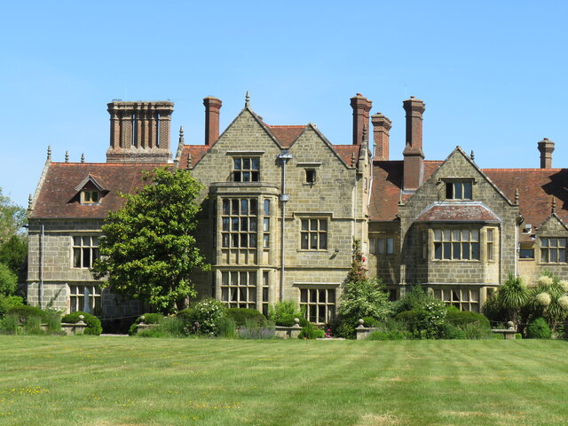
Borde Hill Garden
Borde Hill Garden is a garden located 1.5 miles (2.4 km) north of Haywards Heath, West Sussex in southern England. It is set in over 200 acres (80 ha)...

Mid Sussex (UK Parliament constituency)
Mid Sussex is a constituency represented in the House of Commons of the UK Parliament from 2019 by Mims Davies, a Conservative. She is currently a minister...
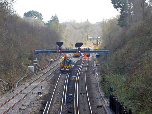
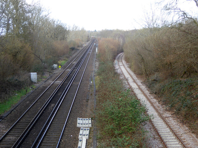
Ouse Valley Railway
The Ouse Valley Railway was to have been part of the London, Brighton & South Coast Railway (LBSCR). It was authorised by an Act of Parliament in 1864...
Mid Sussex District
Mid Sussex is a local government district in the non-metropolitan county of West Sussex, England, within the historic county of Sussex. It contains the...
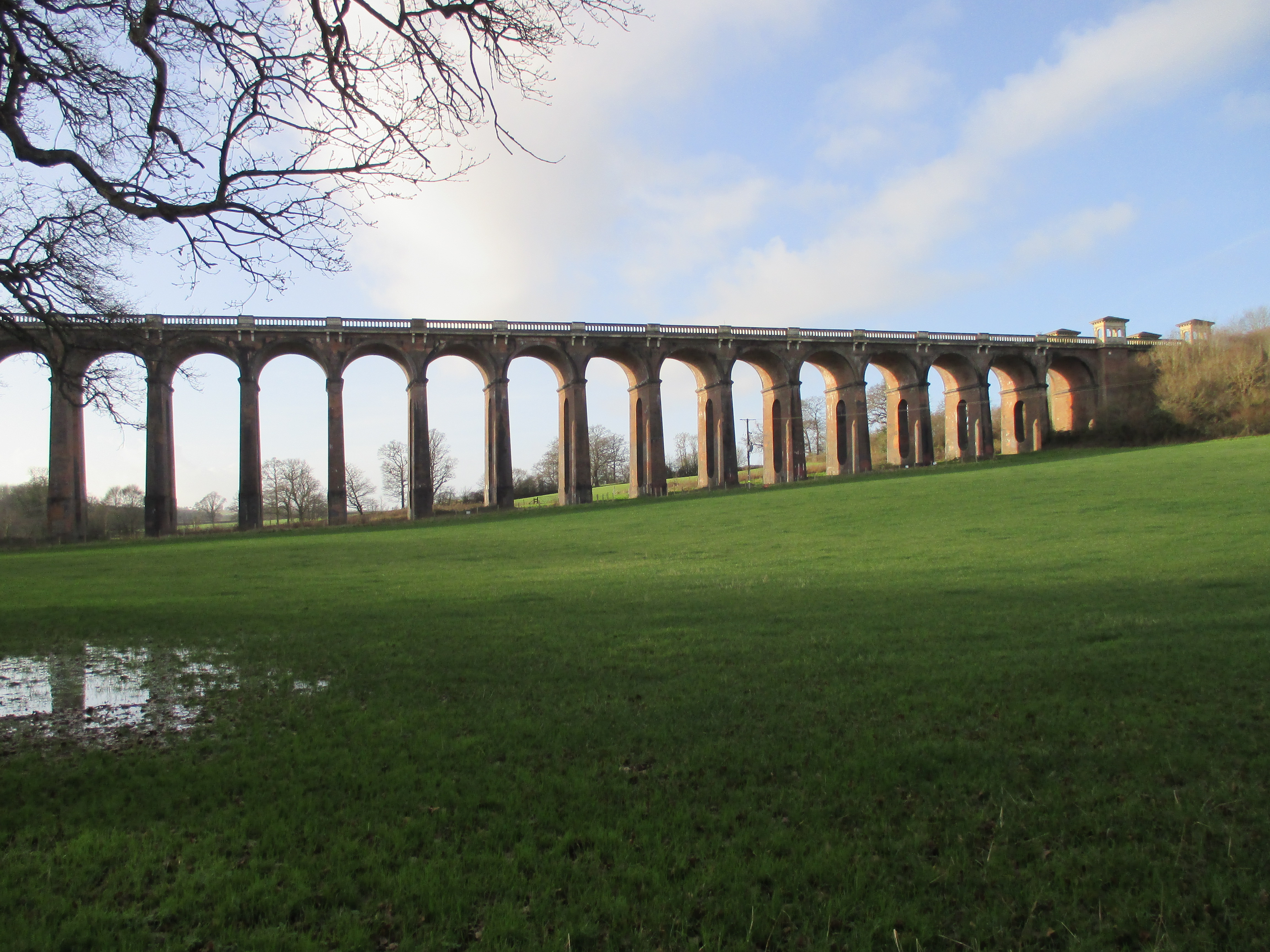
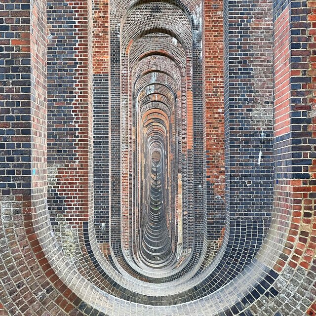
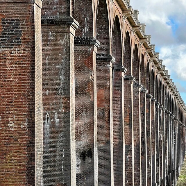
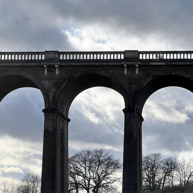
Ouse Valley Viaduct
The Ouse Valley Viaduct (or the Balcombe Viaduct) carries the London-Brighton Railway Line over the River Ouse in Sussex. It is located to the north of...
Tavistock and Summerhill School
Tavistock and Summerhill School, located in Lindfield just 4 minutes from the heart of Haywards Heath, West Sussex was an independent day mixed nursery...
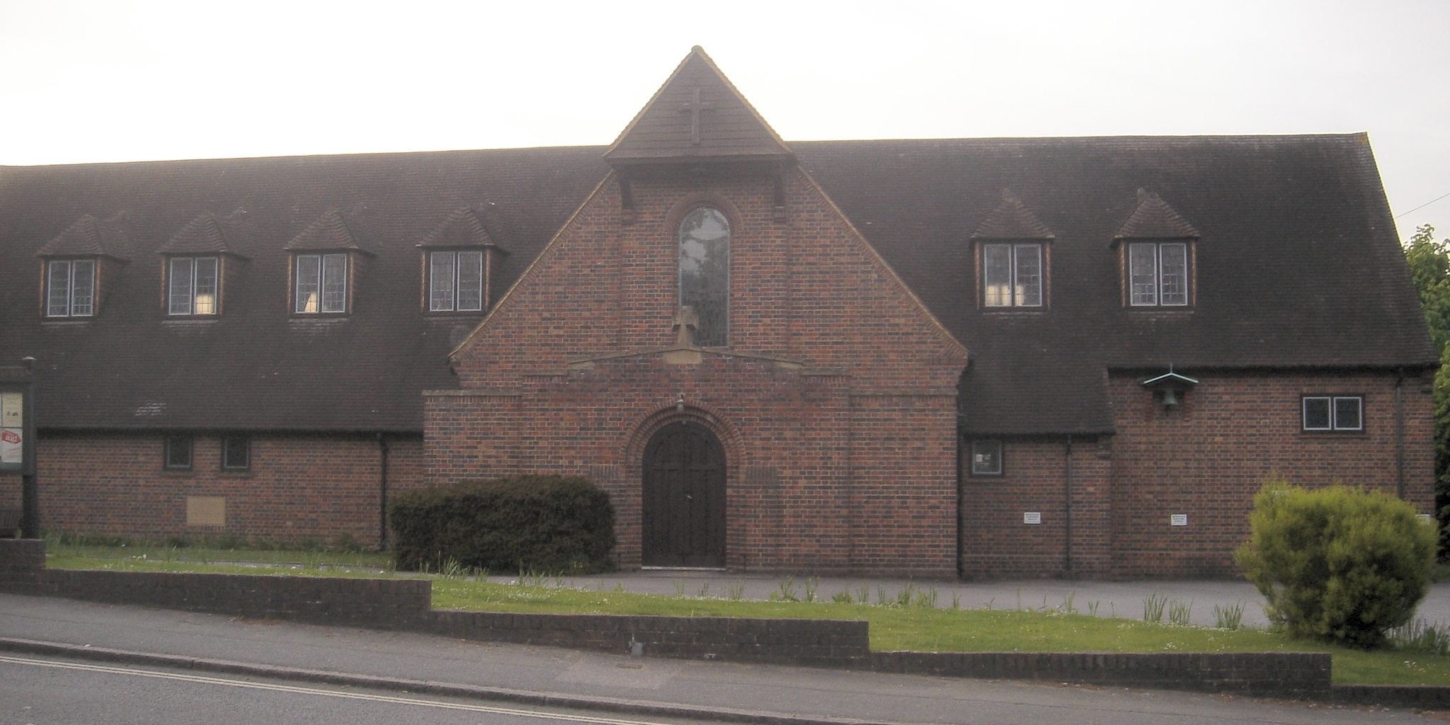
St Richard's Church, Haywards Heath
St Richard's Church is an Anglican church in the town of Haywards Heath in the district of Mid Sussex, one of seven local government districts in the English...
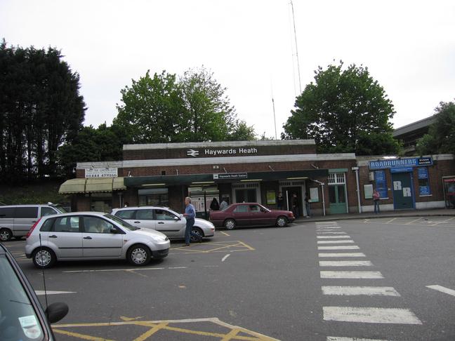
Haywards Heath railway station
Haywards Heath railway station is on the Brighton Main Line in England, serving the town of Haywards Heath, West Sussex. It is 37 miles 59 chains (60.7...
Nearby Amenities
Located within 500m of 51.01979,-0.11505382Have you been to Robertsmere Lake?
Leave your review of Robertsmere Lake below (or comments, questions and feedback).