Colney Heath Lakes
Lake, Pool, Pond, Freshwater Marsh in Hertfordshire St. Albans
England
Colney Heath Lakes
Colney Heath Lakes, located in Hertfordshire, England, is a picturesque site encompassing a range of aquatic environments, including lakes, pools, ponds, and freshwater marshes. This nature reserve is a haven for various plant and animal species, making it an ideal destination for nature enthusiasts and wildlife observers.
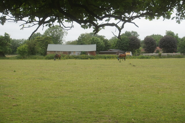
The lakes at Colney Heath Lakes are surrounded by lush vegetation and provide a stunning backdrop for visitors. These lakes are home to a diverse range of freshwater fish, such as carp, roach, and perch, making it a popular spot for angling enthusiasts. The calm waters also attract a variety of water birds, including ducks, swans, and herons, creating a vibrant and lively atmosphere.
Adjacent to the lakes, visitors can explore the tranquil pools and ponds. These smaller bodies of water offer a serene environment and provide habitats for amphibians, such as frogs and newts, as well as a multitude of insects and water-dwelling invertebrates. The pools and ponds are surrounded by reed beds and water lilies, adding to the beauty of the area.
One of the highlights of Colney Heath Lakes is the freshwater marsh. This expansive area is characterized by its marshy, wetland environment, with an abundance of tall grasses, sedges, and reeds. The marsh offers a unique habitat for various bird species, including reed warblers and kingfishers, which can be spotted darting among the vegetation.
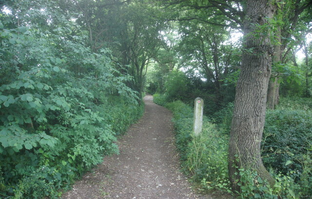
Colney Heath Lakes is not only a haven for wildlife, but also a valuable recreational space for visitors. It offers opportunities for walking, picnicking, and photography, allowing people to immerse themselves in the natural beauty of the area. With its diverse range of aquatic environments, Colney Heath Lakes is a must-visit destination for anyone seeking tranquility and a chance to connect with nature.
If you have any feedback on the listing, please let us know in the comments section below.
Colney Heath Lakes Images
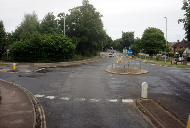
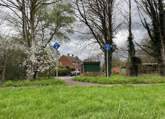
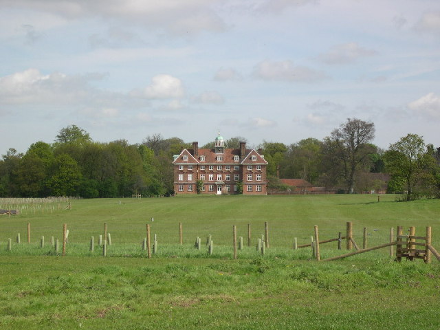
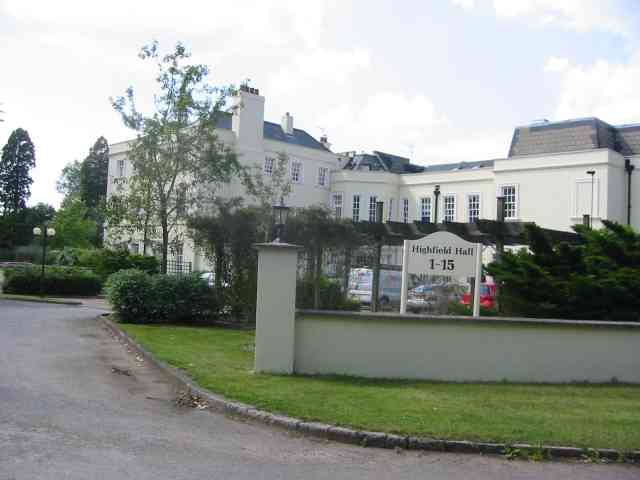
Images are sourced within 2km of 51.742794/-0.26012019 or Grid Reference TL2006. Thanks to Geograph Open Source API. All images are credited.


Colney Heath Lakes is located at Grid Ref: TL2006 (Lat: 51.742794, Lng: -0.26012019)
Administrative County: Hertfordshire
District: St. Albans
Police Authority: Hertfordshire
What 3 Words
///elbow.leap.among. Near Hatfield, Hertfordshire
Nearby Locations
Related Wikis

Colney Heath F.C.
Colney Heath Football Club is a semi-professional football club based in Colney Heath, Hertfordshire, England. Affiliated to the Hertfordshire County Football...

Colney Heath Local Nature Reserve
Colney Heath Local Nature Reserve is a 22.5 hectare Local Nature Reserve in Colney Heath in Hertfordshire. It is owned and managed by Colney Heath Parish...

Sleapshyde
Sleapshyde is a small village in Hertfordshire, United Kingdom. It is located between Hatfield and St Albans, to the south of Smallford and to the north...
Colney Heath Mill
Colney Heath Mill is a Grade II listed smock mill at Colney Heath, Hertfordshire, England, which has been converted to residential accommodation. ��2...
Colney Heath
Colney Heath is a large village in Hertfordshire, England. The village became a civil parish in 1947 when the St. Peter Rural parish was split to form...
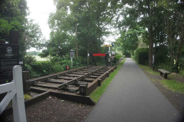
Smallford railway station
Smallford railway station was a station on the former St Albans Branch Line in the UK. The station opened as Springfield in 1866, and was renamed in 1879...
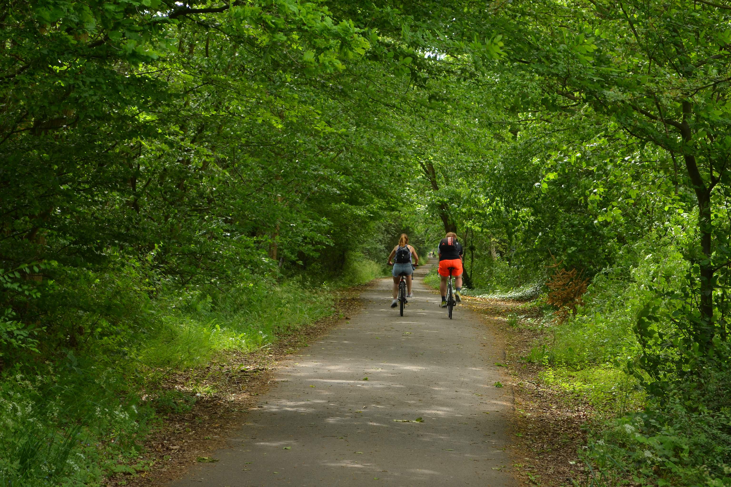
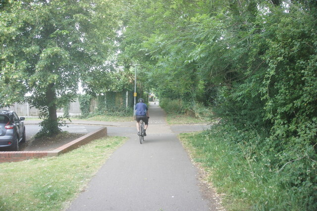
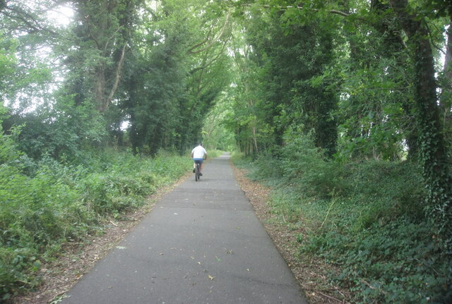
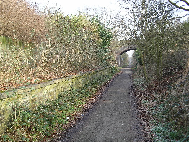
Alban Way
The Alban Way is a traffic free multi-user route along a former railway line in Hertfordshire, England, that has been constructed along the route of the...
Smallford
Smallford is a village in the City and District of St Albans, Hertfordshire, United Kingdom. It is sandwiched between Hatfield and St Albans. It was served...
Nearby Amenities
Located within 500m of 51.742794,-0.26012019Have you been to Colney Heath Lakes?
Leave your review of Colney Heath Lakes below (or comments, questions and feedback).