Sleapshyde

Settlement in Hertfordshire St. Albans

England

Sleapshyde

St Alban Way towards St Albans
St Alban Way towards St Albans Credit: Ian S

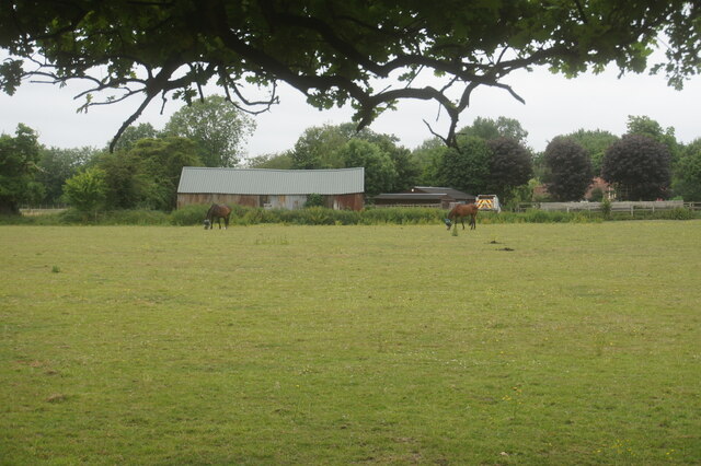
Sleapshyde is a small village located in the county of Hertfordshire, England. Situated approximately 3 miles east of the city of St Albans, Sleapshyde is surrounded by picturesque countryside and offers a peaceful and rural atmosphere.

The village is known for its charming and historic architecture, with many of its buildings dating back to the 17th and 18th centuries. The traditional thatched roofs and timber-framed houses add to the village's unique character and charm.

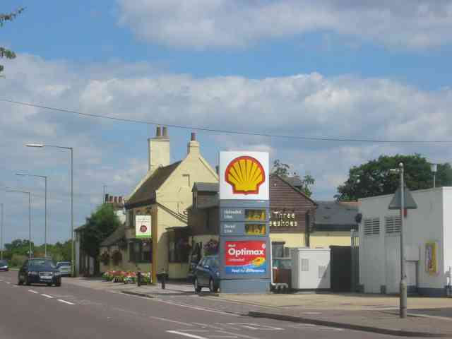
Sleapshyde is a tight-knit community with a population of around 200 residents. It offers a quiet and close-knit lifestyle, making it an ideal place for those seeking a sense of community and tranquility. The village has a local pub, The Three Horseshoes, which serves as a social hub for residents and visitors alike.

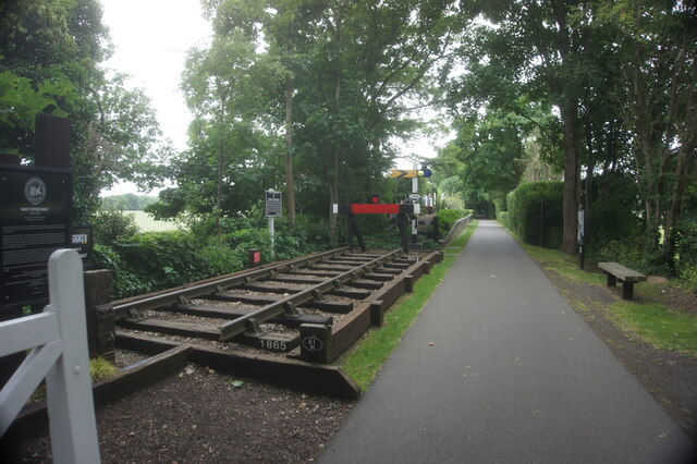
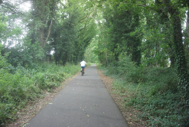
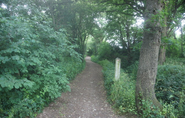
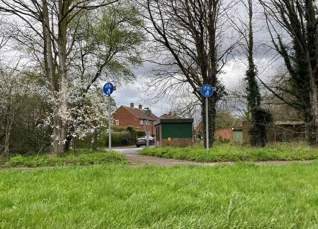
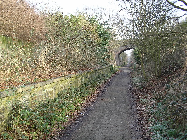
The surrounding countryside provides ample opportunities for outdoor activities such as walking, cycling, and horse riding. The nearby Verulamium Park offers beautiful green spaces and a lake, perfect for picnics and leisurely strolls.

Despite its small size, Sleapshyde benefits from its proximity to St Albans, a vibrant city with a rich history and a wide range of amenities. St Albans offers excellent shopping facilities, restaurants, and cultural attractions, including the impressive St Albans Cathedral and the Verulamium Museum.

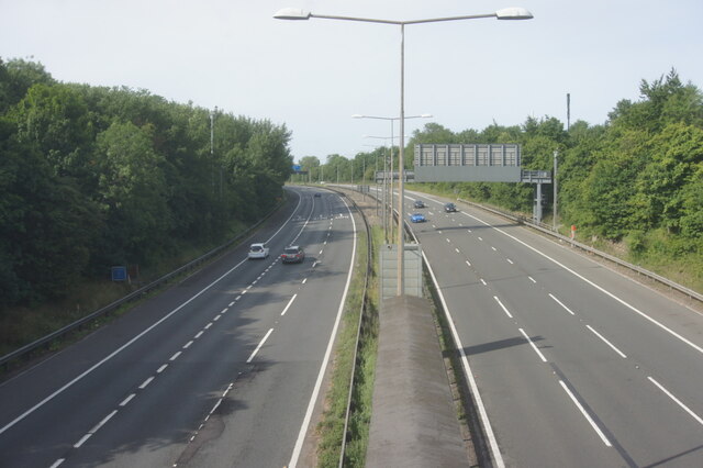
Sleapshyde's convenient location allows for easy access to major road networks, with the M25 motorway just a short drive away, providing connections to London and other parts of the country. Overall, Sleapshyde offers a peaceful and idyllic village lifestyle while still providing access to the amenities and opportunities of nearby urban centers.

If you have any feedback on the listing, please let us know in the comments section below.
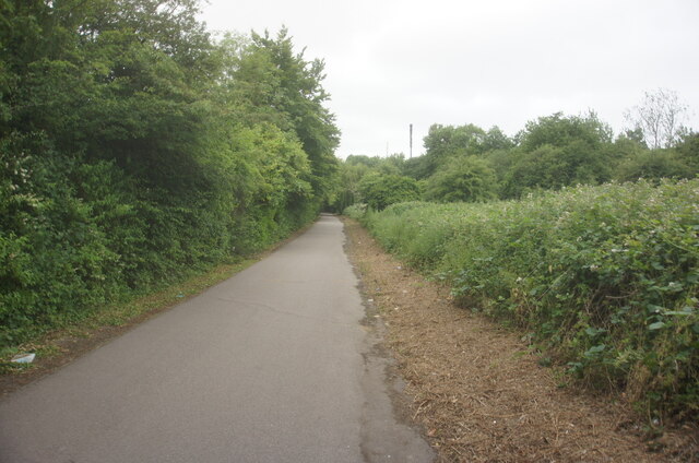
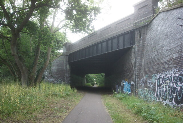
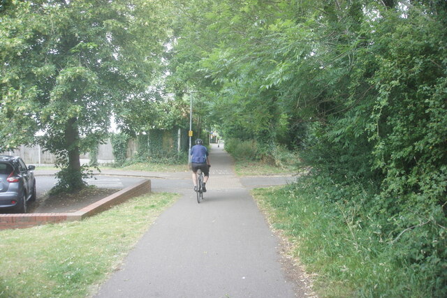
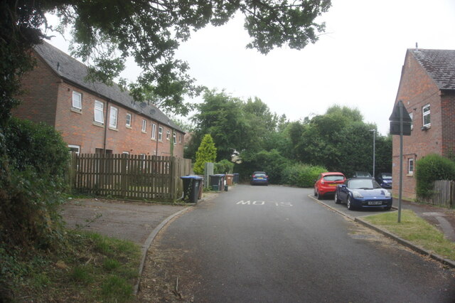
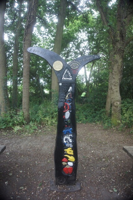
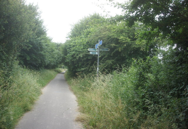
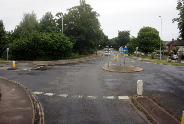
Sleapshyde Images

Images are sourced within 2km of 51.746934/-0.26223542 or Grid Reference TL2006. Thanks to Geograph Open Source API. All images are credited.

St Alban Way towards St Albans
St Alban Way goes under Comet Way, Hatfield
St Alban Way at The Sidings
The Sidings, Hatfield
St Alban Way at Nast Hyde Halt
St Alban Way towards St Albans
Building at Nast Hyde Farm
Byway #51 from St Alban Way
National Cycle Network signpost On St Alban Way.
National Cycle Network signpost
On St Alban Way.
St Alban Way towards St Albans
St Albans Road West at Ellebrook
A1M from Cavendish Way, Hatfield
The Comet Hotel, Hatfield
Cycle path towards Sleapcross Gardens
Byway towards Ellenbrook
The Crooked Billet Pub Beer Garden A place where children play and adults drink seemingly in their separate spheres. A shot in black and white seemed to accentuate the separation of these two worlds.
The Crooked Billet Pub Beer Garden
A place where children play and adults drink seemingly in their separate spheres. A shot in black and white seemed to accentuate the separation of these two worlds.
Oaklands College The main admin building of Oaklands College Smallford campus - just East of St Albans
Oaklands College
The main admin building of Oaklands College Smallford campus - just East of St Albans
Greenhouses A couple of the giant greenhouses at Smallford, between St Albans and Hatfield.
Greenhouses
A couple of the giant greenhouses at Smallford, between St Albans and Hatfield.
Show me another place!

Sleapshyde is located at Grid Ref: TL2006 (Lat: 51.746934, Lng: -0.26223542)

Administrative County: Hertfordshire

District: St. Albans

Police Authority: Hertfordshire

What 3 Words

///sunk.pulled.chef. Near Hatfield, Hertfordshire

Related Wikis

Sleapshyde

Sleapshyde is a small village in Hertfordshire, United Kingdom. It is located between Hatfield and St Albans, to the south of Smallford and to the north...

Smallford railway station

Smallford railway station was a station on the former St Albans Branch Line in the UK. The station opened as Springfield in 1866, and was renamed in 1879...

Colney Heath F.C.

Colney Heath Football Club is a semi-professional football club based in Colney Heath, Hertfordshire, England. Affiliated to the Hertfordshire County Football...
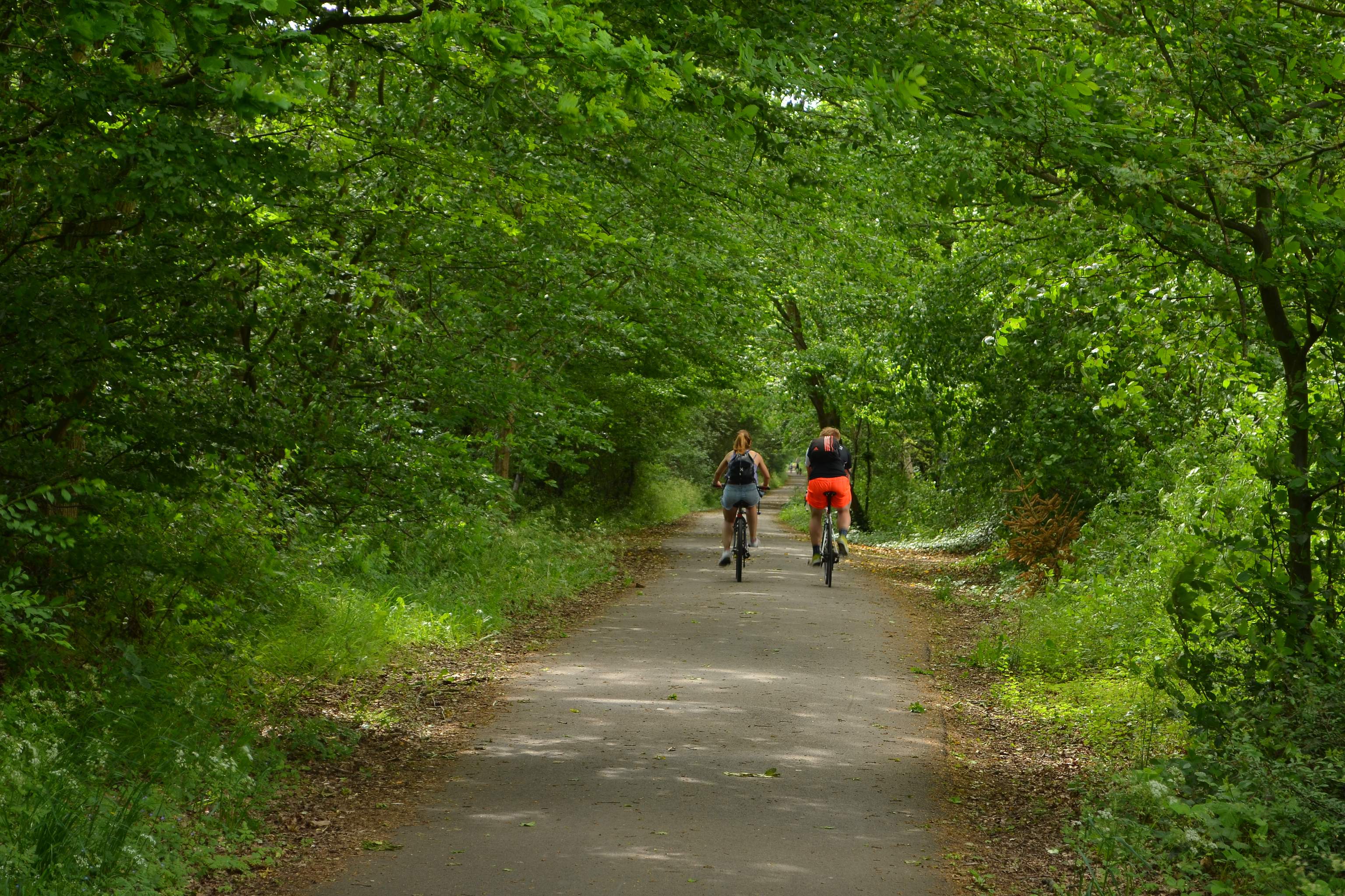
Alban Way

The Alban Way is a traffic free multi-user route along a former railway line in Hertfordshire, England, that has been constructed along the route of the...

Smallford

Smallford is a village in the City and District of St Albans, Hertfordshire, United Kingdom. It is sandwiched between Hatfield and St Albans. It was served...

Colney Heath Local Nature Reserve

Colney Heath Local Nature Reserve is a 22.5 hectare Local Nature Reserve in Colney Heath in Hertfordshire. It is owned and managed by Colney Heath Parish...

Torilla (house)

Torilla is a Grade II* listed house in Wilkin's Green Lane in Hatfield, England. It was designed in 1934–35 by F. R. S. Yorke in the modernist style and...

Colney Heath Mill

Colney Heath Mill is a Grade II listed smock mill at Colney Heath, Hertfordshire, England, which has been converted to residential accommodation. ��2...

Nearby Amenities

Located within 500m of 51.746934,-0.26223542
Crossing
Crossing: unmarked
Crossing Island: yes
Crossing Markings: no
Tactile Paving: no
Lat/Long: 51.7471994/-0.2568363
Crossing
Crossing: unmarked
Crossing Island: yes
Crossing Markings: no
Tactile Paving: no
Lat/Long: 51.7470953/-0.2567772
Crossing
Crossing: unmarked
Crossing Island: yes
Crossing Markings: no
Tactile Paving: no
Lat/Long: 51.7460782/-0.2594338
Crossing
Crossing: unmarked
Crossing Island: yes
Crossing Markings: no
Tactile Paving: no
Lat/Long: 51.7462144/-0.2594106
Crossing
Crossing: unmarked
Lat/Long: 51.7471954/-0.2571473
Post Box
Collection Times: Mo-Fr 16:15; Sa 12:15
Operator: Royal Mail
Operator Wikidata: Q638098
Post Box Type: wall
Ref: AL4 37D
Royal Cypher: VR
Royal Cypher Wikidata: Q33102356
Lat/Long: 51.748379/-0.2601371
Bus Stop
Sleapshyde Lane
Bench: no
Bin: no
Bus: yes
Lit: yes
Naptan AtcoCode: 210021505900
Naptan Bearing: S
Naptan CommonName: Sleapshyde Lane
Naptan Crossing: Sleapshyde Lane
Naptan Indicator: adj
Naptan Landmark: Sleapshyde Lane
Naptan NaptanCode: hrtawgmd
Naptan PlusbusZoneRef: HATFILD;STALBCY
Naptan ShortCommonName: NA
Naptan Street: Smallford Lane
Naptan Verified: no
Public Transport: platform
Shelter: no
Source: naptan_import
Tactile Paving: no
Lat/Long: 51.7462823/-0.2651898
Bus Stop
Sleapcross Gardens
Bench: no
Bin: no
Bus: yes
Lit: yes
Local Ref: NR
Naptan AtcoCode: 210021505920
Naptan Bearing: SW
Naptan CommonName: Sleapcross Gardens
Naptan Crossing: North Orbital Road
Naptan Indicator: nr
Naptan Landmark: North Orbital Road
Naptan NaptanCode: hrtawgmg
Naptan PlusbusZoneRef: HATFILD;STALBCY
Naptan ShortCommonName: NA
Naptan Street: Smallford Lane
Naptan Verified: no
Public Transport: platform
Shelter: no
Source: naptan_import
Tactile Paving: no
Lat/Long: 51.7446661/-0.2654499
Bus Stop
Sleapcross Gardens
Bench: no
Bin: no
Bus: yes
Lit: yes
Naptan AtcoCode: 210021506280
Naptan Bearing: NE
Naptan CommonName: Sleapcross Gardens
Naptan Crossing: North Orbital Road
Naptan Indicator: opp
Naptan Landmark: North Orbital Road
Naptan NaptanCode: hrtawgjg
Naptan PlusbusZoneRef: HATFILD;STALBCY
Naptan ShortCommonName: NA
Naptan Street: Smallford Lane
Naptan Verified: no
Public Transport: platform
Shelter: no
Source: naptan_import
Tactile Paving: no
Lat/Long: 51.7442937/-0.2658118
Bus Stop
Sleapshyde Lane
Bench: yes
Bin: yes
Bus: yes
Lit: yes
Naptan AtcoCode: 210021506300
Naptan Bearing: N
Naptan CommonName: Sleapshyde Lane
Naptan Crossing: opp Sleapshyde Lane
Naptan Indicator: opp
Naptan Landmark: opp Sleapshyde Lane
Naptan NaptanCode: hrtawgjm
Naptan PlusbusZoneRef: HATFILD;STALBCY
Naptan ShortCommonName: NA
Naptan Street: Smallford Lane
Naptan Verified: no
Public Transport: platform
Shelter: yes
Source: naptan_import
Tactile Paving: no
Lat/Long: 51.7466715/-0.26546
Post Box
Operator: Royal Mail
Operator Wikidata: Q638098
Post Box Type: lamp
Ref: AL4 207
Lat/Long: 51.7457272/-0.2650958
Give Way
Lat/Long: 51.743962/-0.2656648
Removed Amenity: telephone
Lat/Long: 51.7444338/-0.2654616
Smallford
Historic Railway: station
Railway: site
Wikidata: Q7543672
Wikipedia: en:Smallford railway station
Lat/Long: 51.7507903/-0.265374
Sleapshyde
Old Name: Sleap's Hyde
Place: hamlet
Source: OS_OpenData_StreetView
Wikidata: Q28924558
Wikipedia: en:Sleapshyde
Lat/Long: 51.7478272/-0.2594304
Crossing
Bicycle: yes
Crossing: unmarked
Crossing Island: yes
Crossing Markings: no
Kerb: lowered
Tactile Paving: yes
Lat/Long: 51.744033/-0.2657191
Crossing
Bicycle: yes
Crossing: unmarked
Crossing Island: yes
Crossing Markings: no
Kerb: lowered
Tactile Paving: yes
Lat/Long: 51.7440492/-0.2658432
Noexit: yes
Lat/Long: 51.7508775/-0.2656787
Barrier: cycle_barrier
Cycle Barrier: double
Cycle Barrier Installation: fixed
Lat/Long: 51.7470463/-0.2602179
Smallford Fishery
Access: private
Fishing: members_only
Leisure: fishing
Operator: Verulam Angling
Lat/Long: 51.749569/-0.26753
Barrier: stile
Stile: stepover
Lat/Long: 51.7463921/-0.2654714
Material: wood
Power: pole
Lat/Long: 51.7428235/-0.2636625
Material: wood
Power: pole
Lat/Long: 51.7435335/-0.2632213
Material: wood
Power: pole
Lat/Long: 51.744143/-0.2628189
Noexit: yes
Lat/Long: 51.7429273/-0.2627599
Power: pole
Lat/Long: 51.746277/-0.2687587
Crossing
Crossing: unmarked
Crossing Island: yes
Crossing Markings: no
Kerb: flush
Tactile Paving: no
Lat/Long: 51.743511/-0.2664968
Bench
Backrest: no
Lat/Long: 51.7509113/-0.2646381
Crossing
Crossing: unmarked
Lat/Long: 51.7465053/-0.2651892
Crossing
Crossing: unmarked
Lat/Long: 51.7442139/-0.265622
Communication Mobile Phone: yes
Man Made: mast
Operator: Three
Operator Wikidata: Q19840922
Tower Construction: freestanding
Tower Type: communication
Lat/Long: 51.7474834/-0.2651346
Give Way
Lat/Long: 51.7478817/-0.2595307
Noexit: yes
Lat/Long: 51.7470687/-0.2603091
Crossing
Crossing: unmarked
Crossing Island: yes
Crossing Markings: no
Kerb: flush
Tactile Paving: no
Lat/Long: 51.7434231/-0.2662534
Give Way
Lat/Long: 51.7438058/-0.2653402
The data included in this document is from www.openstreetmap.org. The data is made available under ODbL.

Have you been to Sleapshyde?

Leave your review of Sleapshyde below (or comments, questions and feedback).