Barge Dyke

Lake, Pool, Pond, Freshwater Marsh in Sussex Adur

England

Barge Dyke

Tapsel gate and squeeze gate at Coombes Church, West Sussex The entrance to Coombes Parish Church is marked by a Tapsel gate and a squeeze gate. The Tapsel gate is shown here in the closed position.
Tapsel gate and squeeze gate at Coombes Church, West Sussex Credit: Andrew Diack

Barge Dyke is a freshwater marsh located in Sussex, England. It is a notable natural feature in the region, known for its diverse ecosystem and picturesque scenery. The marsh is situated near the village of Barge, hence its name.

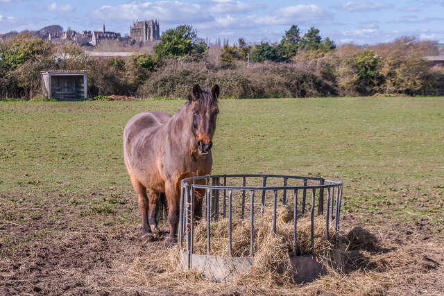
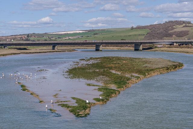
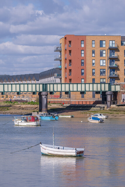
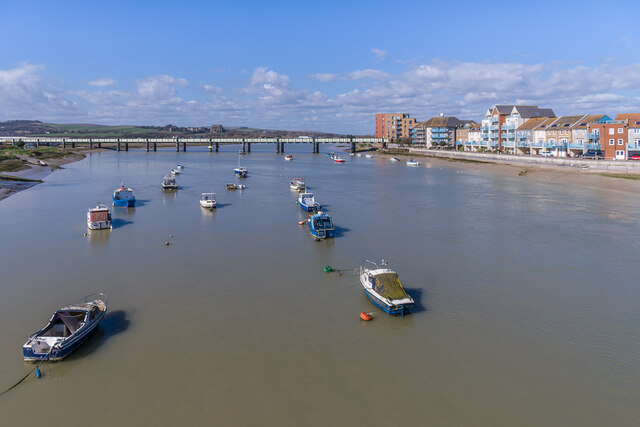
Covering a significant area, Barge Dyke is home to a variety of aquatic plants, making it a haven for numerous species of birds, insects, and other wildlife. The marshland is characterized by its calm, still waters, which provide an ideal habitat for water-based organisms. The presence of reeds, rushes, and water lilies adds to the marsh's beauty and serves as a natural breeding ground for many species.

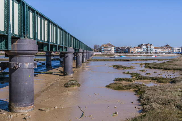
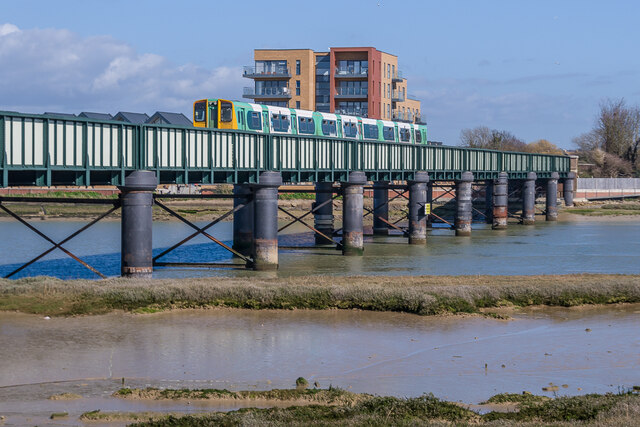
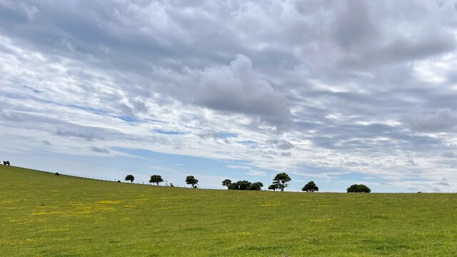
The surrounding landscape of Barge Dyke is predominantly lush and green, with rolling hills and meadows. This creates a tranquil and serene atmosphere, attracting visitors who appreciate the beauty of nature. The marsh is also a popular spot for birdwatching enthusiasts as it attracts a wide range of avian species, including ducks, herons, kingfishers, and swans.

Barge Dyke offers a peaceful retreat for those seeking solace in nature. Visitors can enjoy leisurely walks or boat rides along the marsh, taking in the sights and sounds of the surrounding wildlife. The tranquility of the area makes it an ideal location for nature photographers and artists, who can capture the marsh's unique and captivating beauty.

Overall, Barge Dyke in Sussex is a cherished natural asset, providing a valuable habitat for diverse wildlife. Its scenic landscape and serene atmosphere make it a popular destination for nature lovers and anyone seeking a peaceful escape in the heart of the English countryside.

If you have any feedback on the listing, please let us know in the comments section below.
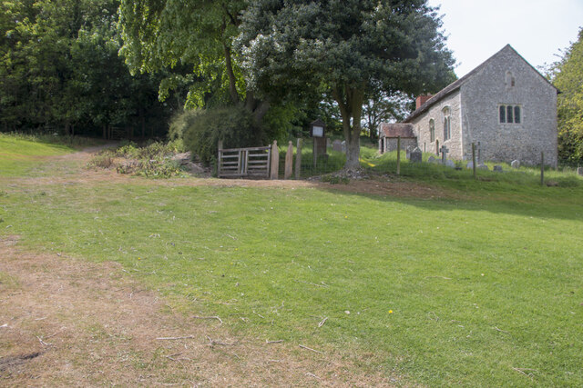
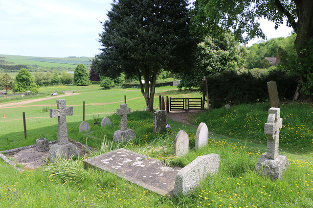
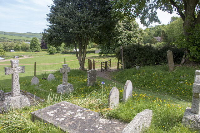
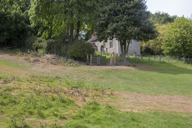
Barge Dyke Images

Images are sourced within 2km of 50.849053/-0.29402326 or Grid Reference TQ2006. Thanks to Geograph Open Source API. All images are credited.

Tapsel gate and squeeze gate at Coombes Church, West Sussex The entrance to Coombes Parish Church is marked by a Tapsel gate and a squeeze gate. The Tapsel gate is shown here in the closed position.
Tapsel gate and squeeze gate at Coombes Church, West Sussex
The entrance to Coombes Parish Church is marked by a Tapsel gate and a squeeze gate. The Tapsel gate is shown here in the closed position.
Tapsel gate in closed position at Coombes Parish Church, West Sussex This photo shows the Tapsel gate and adjacent squeeze gate at Coombes Parish Church. The Tapsel gate is in a closed position. The photo was taken from inside the churchyard while looking in an east-southeast direction.
Tapsel gate in closed position at Coombes Parish Church, West Sussex
This photo shows the Tapsel gate and adjacent squeeze gate at Coombes Parish Church. The Tapsel gate is in a closed position. The photo was taken from inside the churchyard while looking in an east-southeast direction.
Tapsel gate at Coombes Parish Church in an open position, West Sussex The photo shows the Tapsel gate at Coombes Parish Church in an open position. The adjacent squeeze gate, which prevents cattle or other large animals entering the churchyard, is in a permanently open position. The photo was taken from inside the churchyard and it looks in an east-southeast direction.
Tapsel gate at Coombes Parish Church in an open position, West Sussex
The photo shows the Tapsel gate at Coombes Parish Church in an open position. The adjacent squeeze gate, which prevents cattle or other large animals entering the churchyard, is in a permanently open position. The photo was taken from inside the churchyard and it looks in an east-southeast direction.
Tapsel gate at Coombes Parish Church in an open position, Sussex This view was taken from the car park looking east-southeast and it shows the Tapsel gate at Coombes Parish Church in an open position. Next to the Tapsel gate, there is a squeeze gate which, because of its design, remains permanently open.
Tapsel gate at Coombes Parish Church in an open position, Sussex
This view was taken from the car park looking east-southeast and it shows the Tapsel gate at Coombes Parish Church in an open position. Next to the Tapsel gate, there is a squeeze gate which, because of its design, remains permanently open.
Paddock A horse feeding in a paddock off the A283 near Old Shoreham, with Lancing College in the left background.
Paddock
A horse feeding in a paddock off the A283 near Old Shoreham, with Lancing College in the left background.
Artwork Artwork alongside the Downs Link cycle/foot trail, with Old Shoreham Bridge across the River Adur in the background.
Artwork
Artwork alongside the Downs Link cycle/foot trail, with Old Shoreham Bridge across the River Adur in the background.
Old Shoreham Bridge Bridge over the River Adur near Old Shoreham, now a foot/cycle bridge.  Originally built in 1781, it was rebuilt to the same design during the First World War.  Until 1970 it formed part of the A27, with a toll for its use, until relieved by the opening of the Shoreham bypass, with a new viaduct over the river around 300m north of the old bridge.  It was then closed to road traffic and made a bridleway.  It underwent a full restoration in 2008.  Grade II* listed - see <span class="nowrap"><a title="https://historicengland.org.uk/listing/the-list/list-entry/1027895?section=official-list-entry" rel="nofollow ugc noopener" href="https://historicengland.org.uk/listing/the-list/list-entry/1027895?section=official-list-entry">Link</a><img style="margin-left:2px;" alt="External link" title="External link - shift click to open in new window" src="https://s1.geograph.org.uk/img/external.png" width="10" height="10"/></span>.

In the background is Lancing College.
Old Shoreham Bridge
Bridge over the River Adur near Old Shoreham, now a foot/cycle bridge. Originally built in 1781, it was rebuilt to the same design during the First World War. Until 1970 it formed part of the A27, with a toll for its use, until relieved by the opening of the Shoreham bypass, with a new viaduct over the river around 300m north of the old bridge. It was then closed to road traffic and made a bridleway. It underwent a full restoration in 2008. Grade II* listed - see LinkExternal link. In the background is Lancing College.
Old Shoreham Bridge Bridge over the River Adur near Old Shoreham, now a foot/cycle bridge.  Originally built in 1781, it was rebuilt to the same design during the First World War.  Until 1970 it formed part of the A27, with a toll for its use, until relieved by the opening of the Shoreham bypass, with a new viaduct over the river around 300m north of the old bridge.  It was then closed to road traffic and made a bridleway.  It underwent a full restoration in 2008.  Grade II* listed - see <span class="nowrap"><a title="https://historicengland.org.uk/listing/the-list/list-entry/1027895?section=official-list-entry" rel="nofollow ugc noopener" href="https://historicengland.org.uk/listing/the-list/list-entry/1027895?section=official-list-entry">Link</a><img style="margin-left:2px;" alt="External link" title="External link - shift click to open in new window" src="https://s1.geograph.org.uk/img/external.png" width="10" height="10"/></span>.

In the background is St Nicolas' Church, Old Shoreham.
Old Shoreham Bridge
Bridge over the River Adur near Old Shoreham, now a foot/cycle bridge. Originally built in 1781, it was rebuilt to the same design during the First World War. Until 1970 it formed part of the A27, with a toll for its use, until relieved by the opening of the Shoreham bypass, with a new viaduct over the river around 300m north of the old bridge. It was then closed to road traffic and made a bridleway. It underwent a full restoration in 2008. Grade II* listed - see LinkExternal link. In the background is St Nicolas' Church, Old Shoreham.
River Adur Looking along the River Adur from the Old Shoreham Bridge with the A27 Adur Viaduct, completed in 1970, in the background.
River Adur
Looking along the River Adur from the Old Shoreham Bridge with the A27 Adur Viaduct, completed in 1970, in the background.
Shoreham Railway Viaduct Viaduct carrying the West Coastway railway over the River Adur.  It was built in 1893, replacing an earlier wooden trestle viaduct opened in 1845.
Shoreham Railway Viaduct
Viaduct carrying the West Coastway railway over the River Adur. It was built in 1893, replacing an earlier wooden trestle viaduct opened in 1845.
Shoreham Railway Viaduct Viaduct carrying the West Coastway railway over the River Adur.  It was built in 1893, replacing an earlier wooden trestle viaduct opened in 1845.  Seen here with Class 313 no 313215 crossing on a westbound stopping service.
Shoreham Railway Viaduct
Viaduct carrying the West Coastway railway over the River Adur. It was built in 1893, replacing an earlier wooden trestle viaduct opened in 1845. Seen here with Class 313 no 313215 crossing on a westbound stopping service.
Linemans View Part of the Ropetackle development overlooking the River Adur, completed in 2005.
Linemans View
Part of the Ropetackle development overlooking the River Adur, completed in 2005.
River Adur Looking across the River Adur towards the viaduct carrying the West Coastway railway over the river, with Ringed Plover Apartments in Salt Marsh Road beyond.
River Adur
Looking across the River Adur towards the viaduct carrying the West Coastway railway over the river, with Ringed Plover Apartments in Salt Marsh Road beyond.
River Adur Looking up the River Adur towards the viaduct carrying the West Coastway railway over the river.
River Adur
Looking up the River Adur towards the viaduct carrying the West Coastway railway over the river.
Fence and bushes - SW of Mossy Bottom Barn This is a cross-grid shot. The camera was in the square to the east.
Fence and bushes - SW of Mossy Bottom Barn
This is a cross-grid shot. The camera was in the square to the east.
Houses on Hebe Road, Shoreham Quite old, 1870s at latest.
Houses on Hebe Road, Shoreham
Quite old, 1870s at latest.
Railway bridge over the River Adur
Underside of railway bridge over the River Adur
Show me another place!

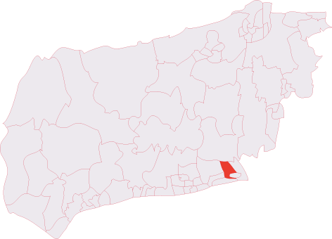
Barge Dyke is located at Grid Ref: TQ2006 (Lat: 50.849053, Lng: -0.29402326)

Administrative County: West Sussex

District: Adur

Police Authority: Sussex

What 3 Words

///buckling.career.sway. Near Shoreham-by-Sea, West Sussex

Nearby Locations

Barge Dyke

Related Wikis

Lancing College Chapel

Lancing College Chapel is the chapel to Lancing College in West Sussex, England, and is an example of Gothic Revival architecture. The chapel was designed...

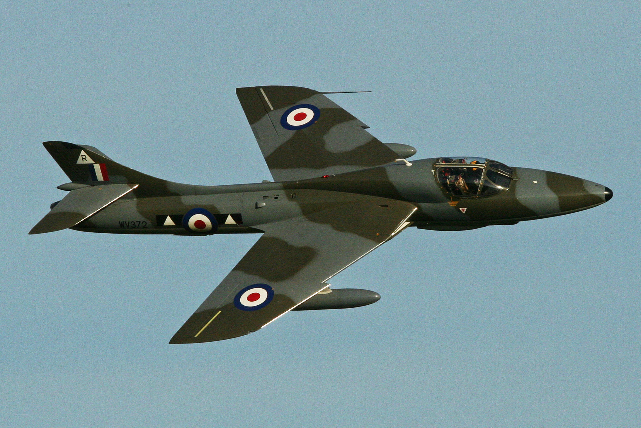
2015 Shoreham Airshow crash

On 22 August 2015, a former military aircraft crashed onto a main road during an aerial display at the Shoreham Airshow at Shoreham Airport, England, killing...

Mill Hill, Shoreham

Mill Hill is a 13.5-hectare (33-acre) Local Nature Reserve on the northern outskirts of Shoreham-by-Sea in West Sussex. It is owned by Adur District Council...
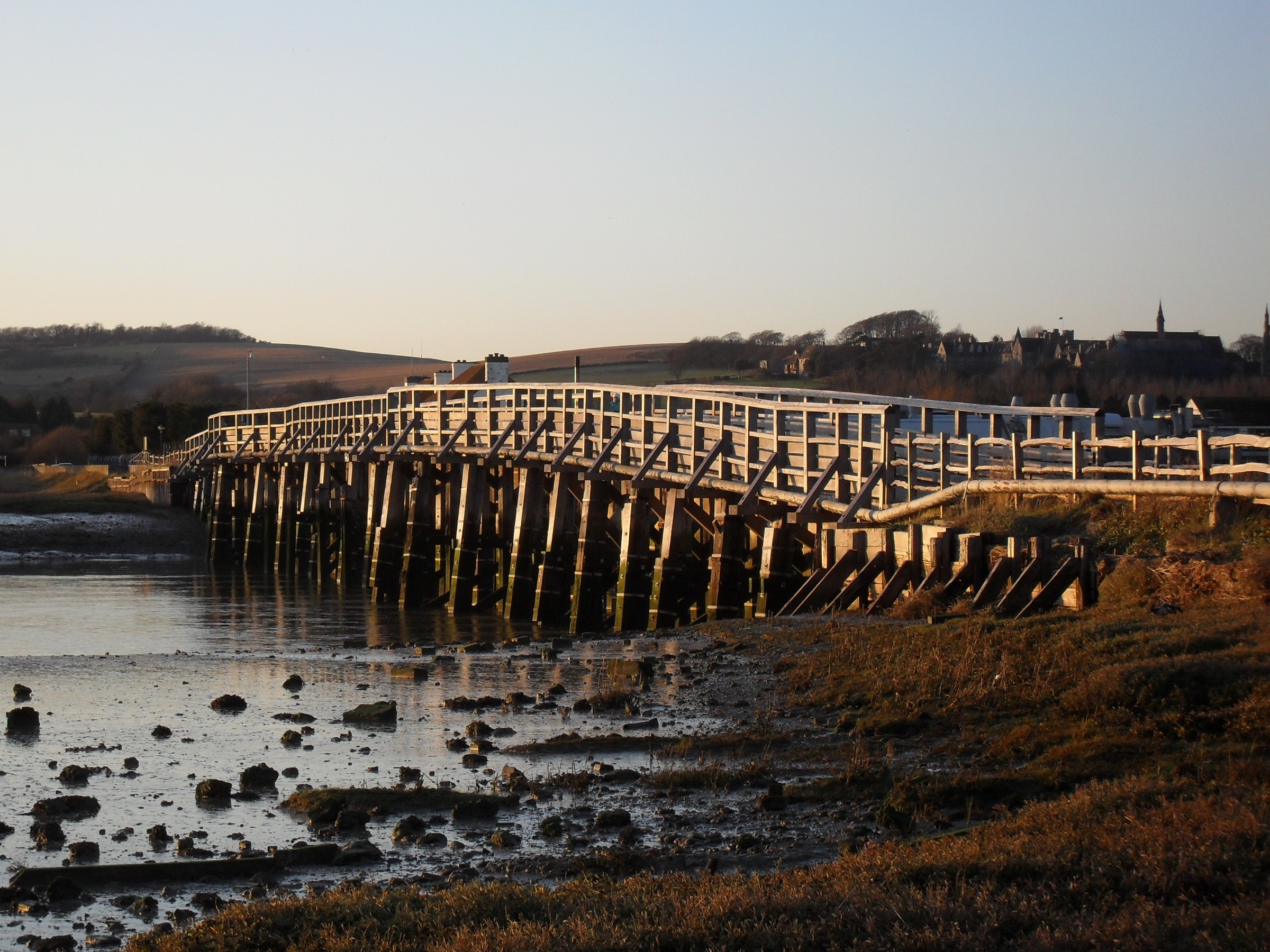
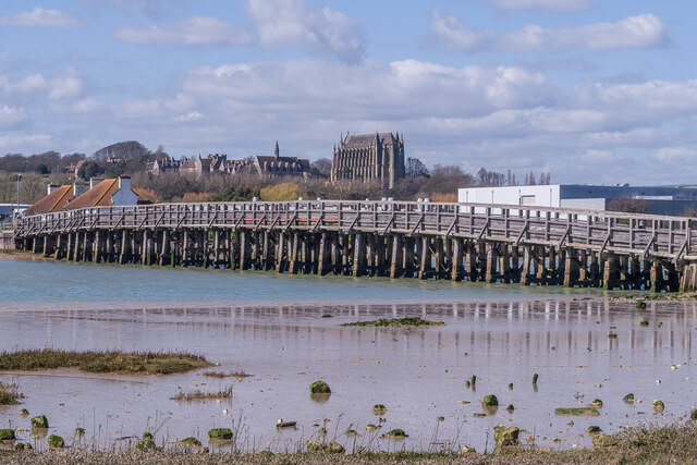
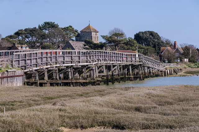
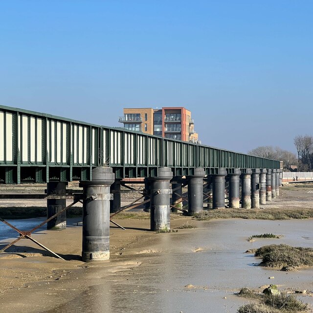
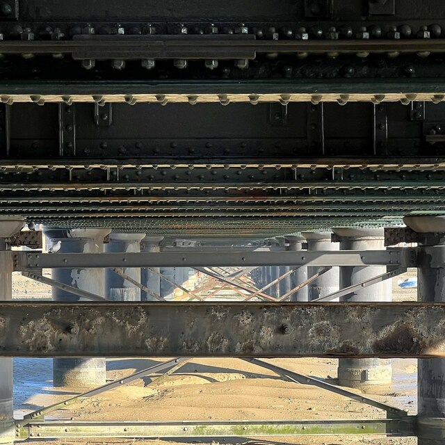
Shoreham Tollbridge

Shoreham Tollbridge is a bridge crossing the River Adur in West Sussex, England. It is the last of its kind in Sussex and one of the last of its kind anywhere...

St Nicolas Church, Shoreham-by-Sea

St Nicolas Church is an Anglican church in Old Shoreham, an ancient inland settlement that is now part of the town of Shoreham-by-Sea in the district of...

Red Lion Inn, Shoreham-by-Sea

The Red Lion Inn is a 16th-century public house in the ancient Old Shoreham part of the town of Shoreham-by-Sea, in the Adur district of West Sussex, England...

Shoreham (electoral division)

Shoreham is an electoral division of West Sussex in the United Kingdom, and returns one member to sit on West Sussex County Council. == Extent == The division...

Brighton City Airport

Brighton City Airport (IATA: ESH, ICAO: EGKA), also commonly known as Shoreham Airport, is located in the parish of Lancing in West Sussex, England. It...

Nearby Amenities

Located within 500m of 50.849053,-0.29402326
Barrier: kissing_gate
Lat/Long: 50.8490408/-0.2945659
The data included in this document is from www.openstreetmap.org. The data is made available under ODbL.

Have you been to Barge Dyke?

Leave your review of Barge Dyke below (or comments, questions and feedback).