Baddesley Clinton

Settlement in Warwickshire Warwick

England

Baddesley Clinton

The Orange Tree, Chadwick End
The Orange Tree, Chadwick End Credit: David Howard

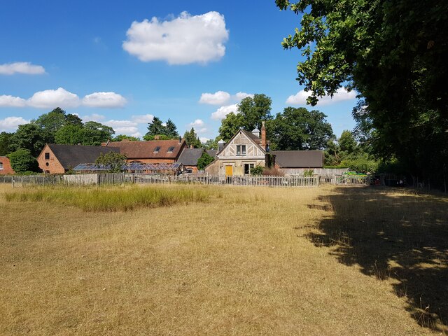
Baddesley Clinton is a historic moated manor house located in the scenic county of Warwickshire, England. Situated about eight miles north-west of Warwick, the house is nestled amidst idyllic countryside, surrounded by picturesque gardens and a serene moat.

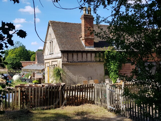
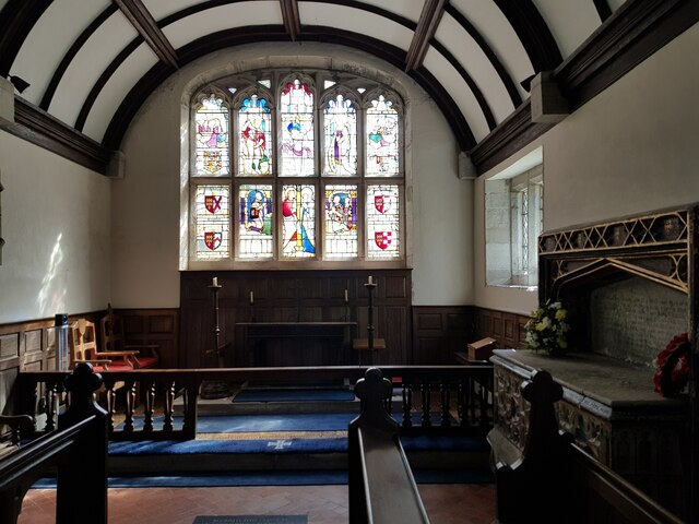
The manor house, dating back to the 13th century, boasts a striking medieval architecture and has been remarkably preserved over the centuries. It offers a glimpse into the rich history of the area and provides visitors with a unique opportunity to step back in time. The house is constructed primarily from red sandstone, with timber-framed sections, and features a charming courtyard.

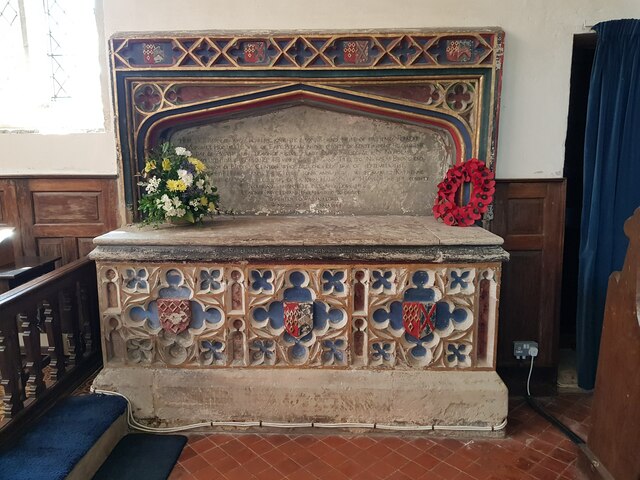
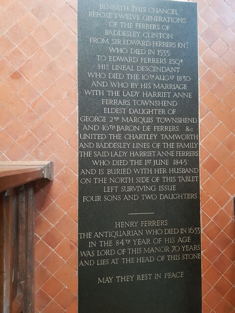
Baddesley Clinton is renowned for its association with prominent historical figures, including the Ferrers family, who owned the property for over 500 years. The house served as a hiding place for persecuted Catholics during the Elizabethan era, and secret priest holes can still be seen today. These hidden chambers were used to conceal Catholic priests during the period when Catholicism was banned in England.

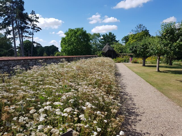
The estate also encompasses stunning gardens, which have been meticulously maintained and showcase a variety of horticultural delights. Visitors can explore the walled gardens, flower borders, and a beautiful lake, all of which contribute to the tranquility and charm of the surroundings.

Today, Baddesley Clinton is owned and managed by the National Trust, ensuring its preservation for future generations. It offers an immersive experience for visitors, allowing them to explore the house's rich history, admire the picturesque gardens, and appreciate the natural beauty of the Warwickshire countryside.

If you have any feedback on the listing, please let us know in the comments section below.

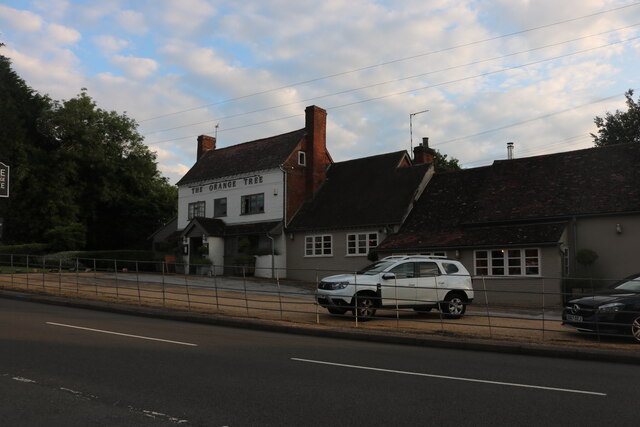
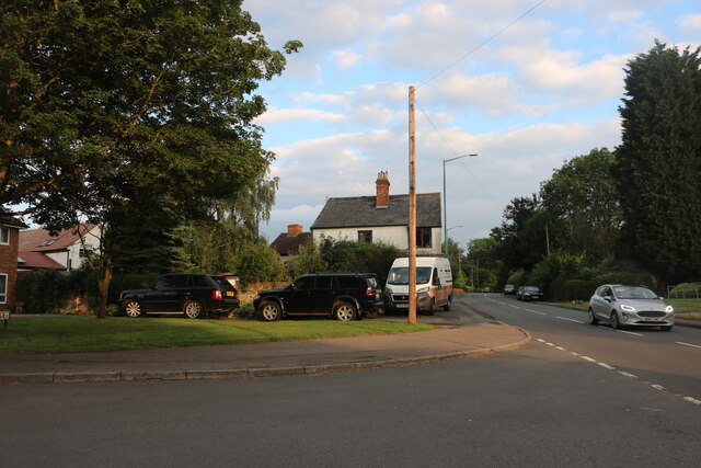
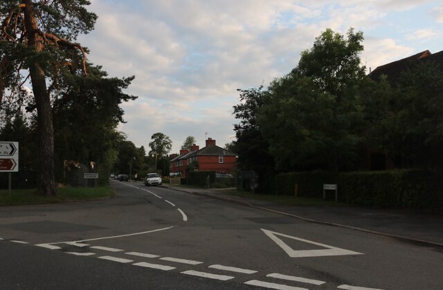
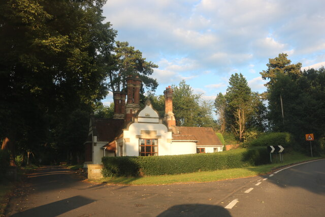
Baddesley Clinton Images

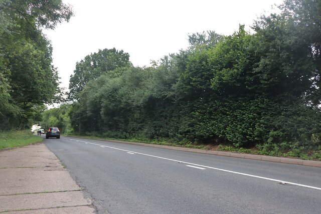
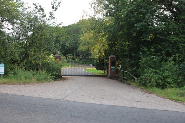
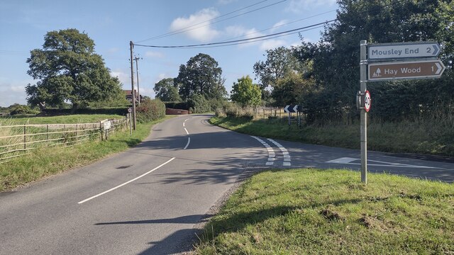
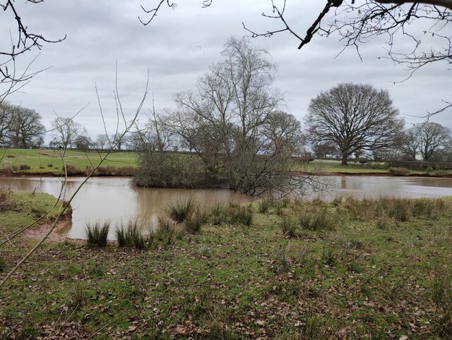
Images are sourced within 2km of 52.348997/-1.70042 or Grid Reference SP2072. Thanks to Geograph Open Source API. All images are credited.

The Orange Tree, Chadwick End
Warwick Road, Chadwick End
Rising Lane, Baddesley Clinton
The lodge at Chadwick Manor
Birmingham Road, Baddesley Clinton
The entrance to Pheasant Lakes Farm, Wroxall
Rising Lane Rising Lane passing the turn to Mousley End
Rising Lane
Rising Lane passing the turn to Mousley End
Pond on the edge of Hay Wood
St Michael's, Baddesley Clinton, Warwickshire  Next to but not part of the National Trust property.
St Michael's, Baddesley Clinton, Warwickshire
Next to but not part of the National Trust property.
The Orange Tree, Chadwick End
St Michael's Church, Baddesley Clinton (interior 1)
The Cottage, Baddesley Clinton
St Michael's Church, Baddesley Clinton (interior 2)
Tomb for Sir Edward Ferrers and family In St Michael's Church, Baddesley Clinton. The family owned Baddesley Clinton for generations.
Tomb for Sir Edward Ferrers and family
In St Michael's Church, Baddesley Clinton. The family owned Baddesley Clinton for generations.
The Ferrer's memorial in St Michael's Church, Baddesley Clinton
Mini organ, St Michael's Church, Baddesley Clinton
Cottage and barn, Baddesley Clinton
Wildflowers in the walled garden, Baddesley Clinton This flower bed used to be full of Dahlias <a href="https://www.geograph.org.uk/photo/4132107">SP1971 : Baddesley Clinton Garden</a> but pests in the soil has made it impossible to grow them. Attempts to convert to natural flowers is proving problematic with one species dominating.
Wildflowers in the walled garden, Baddesley Clinton
This flower bed used to be full of Dahlias SP1971 : Baddesley Clinton Garden but pests in the soil has made it impossible to grow them. Attempts to convert to natural flowers is proving problematic with one species dominating.
Show me another place!

Baddesley Clinton is located at Grid Ref: SP2072 (Lat: 52.348997, Lng: -1.70042)

Administrative County: Warwickshire

District: Warwick

Police Authority: Warwickshire

What 3 Words

///dissolves.cutlets.dressing. Near Wroxall, Warwickshire

Related Wikis

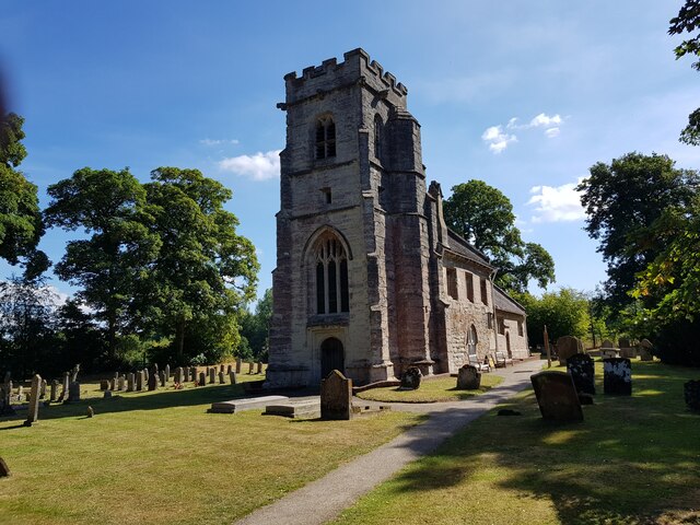
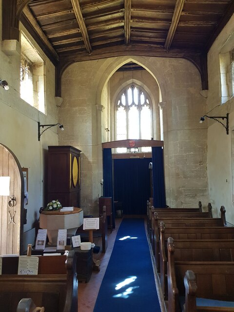
Baddesley Clinton (village)

Baddesley Clinton is a village and civil parish in Warwickshire, England, about 5+1⁄2 miles (9 km) southeast of Solihull. The village has Anglo-Saxon origins...
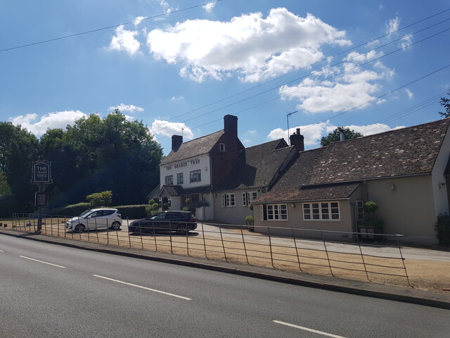
Chadwick End

Chadwick End is a small village which straddles the border of Warwickshire and the West Midlands Metropolitan Borough of Solihull, situated 3 miles (5...

Baddesley Clinton

Baddesley Clinton (grid reference SP199714) is a moated manor house, about 8 miles (13 km) north-west of the town of Warwick, in the village of Baddesley...

Lapworth railway station

Lapworth railway station serves the village of Kingswood, Warwickshire, near the village of Lapworth from which it takes its name. It has two platforms...

Kingswood, Warwickshire

Kingswood is an area in the civil parishes of Lapworth and Rowington in Warwick District, Warwickshire, England. It forms the main residential area of...

Wroxall, Warwickshire

Wroxall is a small village and former civil parish, now in the parish of Beausale, Haseley, Honiley and Wroxall, in the Warwick district, in the county...

Wroxall Abbey

Wroxall Abbey is a substantial Victorian mansion house situated at Wroxall, Warwickshire which was converted for use as a hotel, spa, wedding venue and...

Wren's Cathedral

Wren's Cathedral, properly the Church of St Leonard and now a cathedral of the Communion of Evangelical Episcopal Churches, was originally the Lady Chapel...

Nearby Amenities

Located within 500m of 52.348997,-1.70042
Bus Stop
Warwick Road
Bus: yes
Naptan AtcoCode: 4200F004800
Naptan Bearing: N
Naptan CommonName: Warwick Road
Naptan Crossing: Warwick Road
Naptan Indicator: Opp
Naptan NaptanCode: waradjmp
Naptan Street: Rising Lane
Naptan Verified: no
Public Transport: platform
Source: naptan_import
Lat/Long: 52.3505065/-1.6954036
Bus Stop
Warwick Road
Bus: yes
Naptan AtcoCode: 4200F004801
Naptan Bearing: S
Naptan CommonName: Warwick Road
Naptan Crossing: Warwick Road
Naptan Indicator: Adj
Naptan NaptanCode: waradjmt
Naptan Street: Rising Lane
Naptan Verified: no
Public Transport: platform
Source: naptan_import
Lat/Long: 52.3504791/-1.6952276
Post Box
Collection Times: Mo-Fr 16:00; Sa 09:00
Operator: Royal Mail
Post Box Type: lamp
Ref: B93 119
Royal Cypher: EIIR
Royal Cypher Wikidata: Q33102113
Source: survey
Lat/Long: 52.3496437/-1.6957551
Historic: memorial
Material: wood
Memorial: war_memorial
Source: survey
Lat/Long: 52.3499194/-1.6958957
Generator Method: photovoltaic
Generator Output Electricity: yes
Generator Source: solar
Generator Type: solar_photovoltaic_panel
Location: roof
Power: generator
Lat/Long: 52.3485567/-1.6971651
Addr City: Solihull
Addr Postcode: B93 0DE
Addr Street: Rising Lane
Addr Suburb: Chadwick End
Lat/Long: 52.3496774/-1.6971248
Power: pole
Source: bing
Lat/Long: 52.3450225/-1.7020319
Power: pole
Ref: 720857
Source: wpd_opendata
Transformer: distribution
Lat/Long: 52.3456337/-1.7022264
Power: pole
Source: bing
Lat/Long: 52.3463726/-1.7022599
Power: pole
Source: bing
Lat/Long: 52.3470248/-1.7022237
Power: pole
Source: bing
Lat/Long: 52.3477375/-1.7020373
Power: pole
Source: bing
Lat/Long: 52.3483134/-1.7019957
Power: pole
Ref: 720415
Source: wpd_opendata
Transformer: distribution
Lat/Long: 52.3489328/-1.7019676
Power: pole
Source: bing
Lat/Long: 52.3491793/-1.7020467
Power: substation
Ref: 720417
Source: wpd_opendata
Lat/Long: 52.3501603/-1.6955638
Power: pole
Source: bing
Lat/Long: 52.3511798/-1.6989622
Power: pole
Source: bing
Lat/Long: 52.350282/-1.6965321
Power: pole
Source: bing
Lat/Long: 52.3507702/-1.6977873
Power: pole
Source: bing
Lat/Long: 52.3531441/-1.6979818
Power: pole
Source: bing
Lat/Long: 52.3525691/-1.6984727
Power: pole
Source: bing
Lat/Long: 52.3520317/-1.6989702
Power: pole
Source: bing
Lat/Long: 52.3513764/-1.6995308
Power: pole
Source: bing
Lat/Long: 52.3507866/-1.7000699
Power: pole
Source: bing
Lat/Long: 52.3501132/-1.700609
Power: pole
Ref: 720414
Source: wpd_opendata
Transformer: distribution
Lat/Long: 52.3491171/-1.6989005
Power: pole
Source: bing
Lat/Long: 52.3493088/-1.7000136
Power: pole
Source: bing
Lat/Long: 52.3494947/-1.7011508
Power: pole
Source: bing
Lat/Long: 52.3496963/-1.7022492
Power: pole
Source: bing
Lat/Long: 52.3499183/-1.7034978
Power: pole
Source: bing
Lat/Long: 52.3501599/-1.7048402
Power: pole
Source: bing
Lat/Long: 52.3504/-1.7061947
The data included in this document is from www.openstreetmap.org. The data is made available under ODbL.

Have you been to Baddesley Clinton?

Leave your review of Baddesley Clinton below (or comments, questions and feedback).