Baddesley Ensor

Settlement in Warwickshire North Warwickshire

England

Baddesley Ensor

Atherstone Lane at Baxterley
Atherstone Lane at Baxterley Credit: Ian S

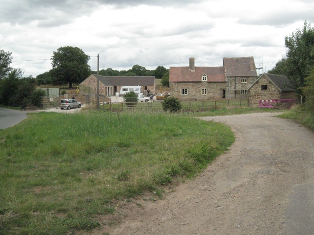
Baddesley Ensor is a small village located in the county of Warwickshire, in the heart of England. Situated approximately 10 miles northwest of the bustling city of Coventry, Baddesley Ensor is a quiet and picturesque village with a population of around 1,500 residents.

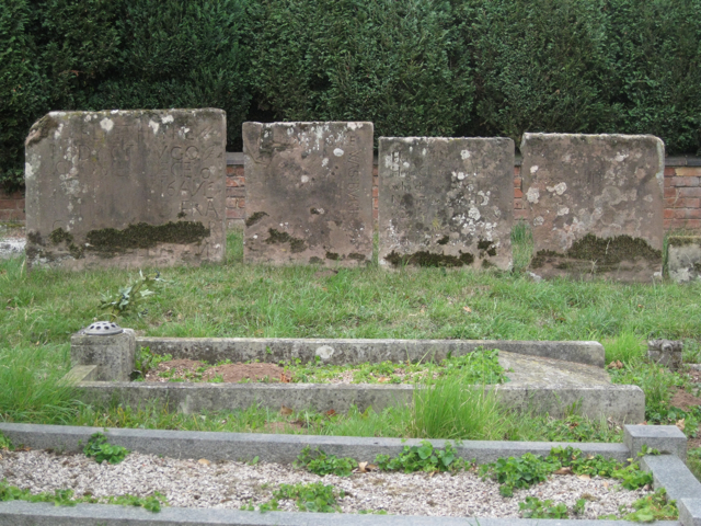
The village is known for its rich history, dating back to medieval times. It is home to Baddesley Ensor Castle, a Grade II listed building that was constructed in the 13th century. The castle, now privately owned, is a popular tourist attraction and showcases the architectural beauty of the era.

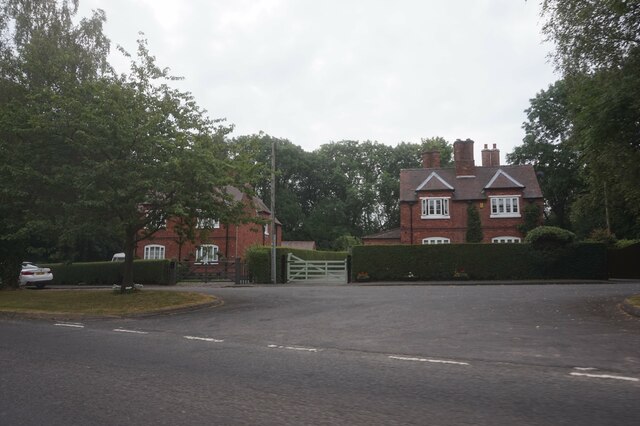
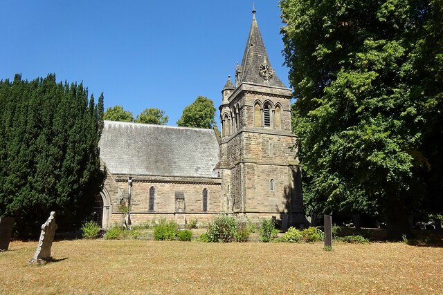
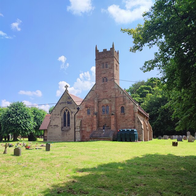
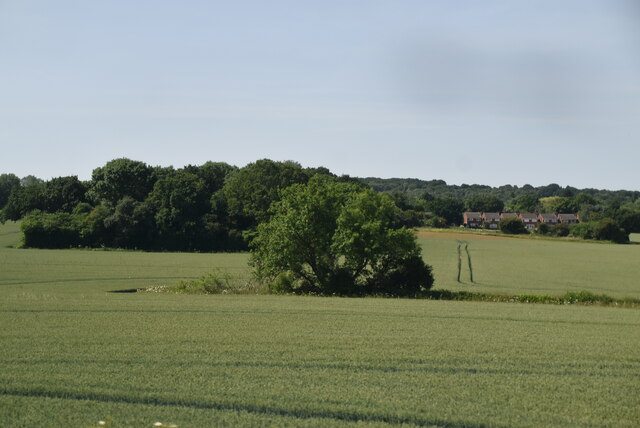
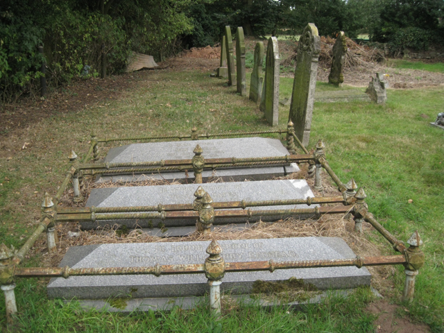
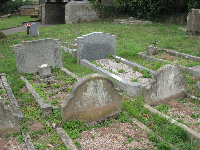
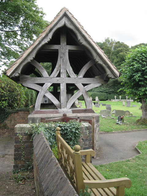
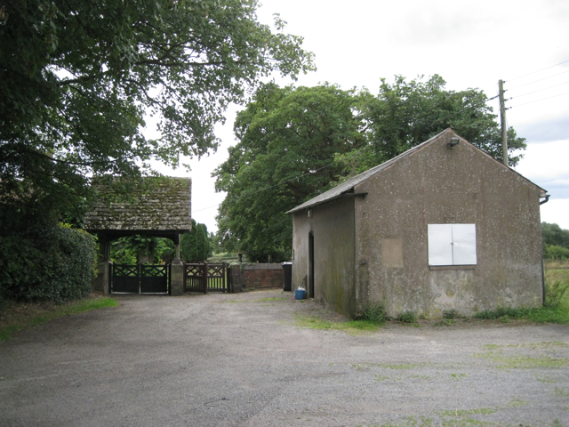
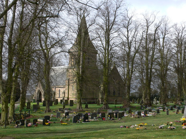
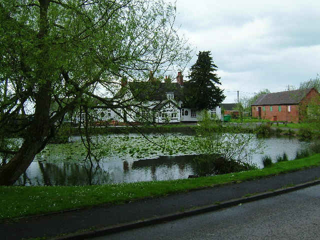
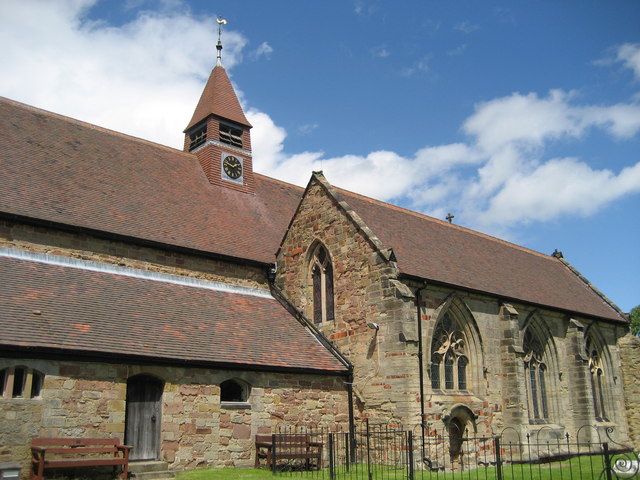
Surrounded by rolling countryside, Baddesley Ensor offers a peaceful and idyllic setting. The village is dotted with charming cottages and traditional buildings, giving it a quaint and timeless atmosphere. The local church, St. Nicholas Church, is another historic landmark that adds to the village's charm.

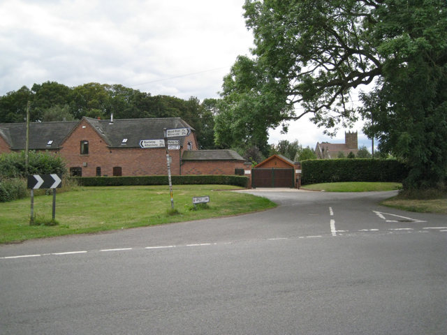
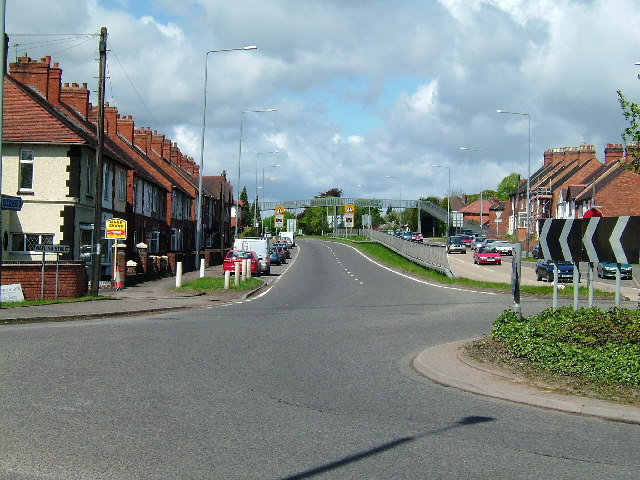
Baddesley Ensor benefits from excellent transport links, with the M42 motorway just a short distance away, providing easy access to Birmingham, Leicester, and other major cities. The village also has a railway station, making it a convenient location for commuters.

While Baddesley Ensor is a predominantly residential village, it offers a range of amenities to its residents, including a primary school, a post office, and a few shops and pubs. The surrounding countryside provides ample opportunities for outdoor activities such as walking, cycling, and horse riding.

In summary, Baddesley Ensor is a small village in Warwickshire that boasts a rich history, picturesque surroundings, and excellent transport links. It is a tranquil and welcoming place, perfect for those seeking a peaceful rural lifestyle.

If you have any feedback on the listing, please let us know in the comments section below.

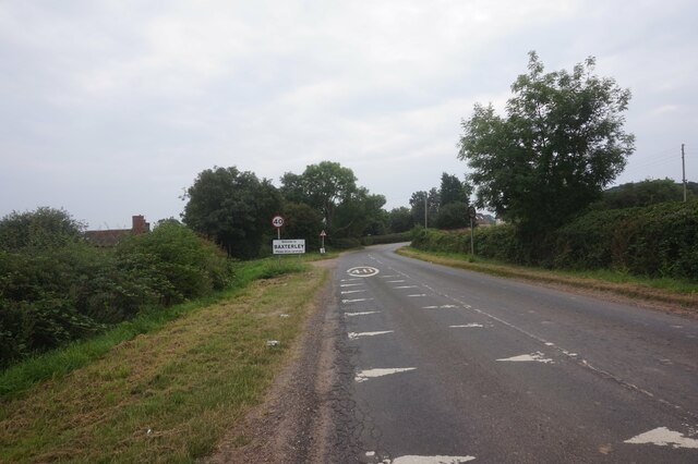
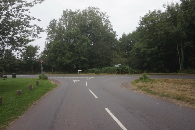
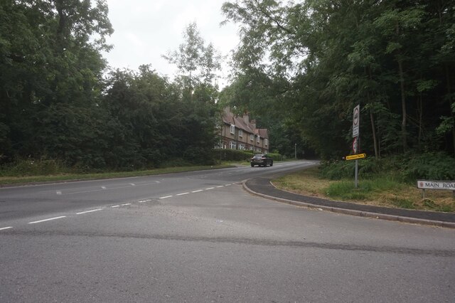
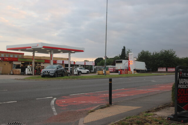
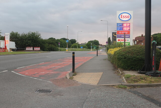
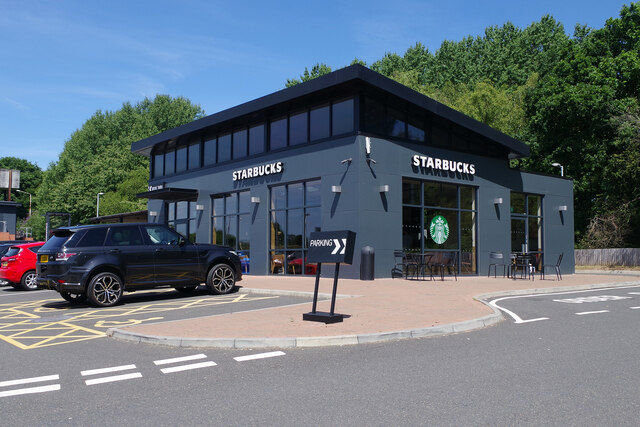
Baddesley Ensor Images

Images are sourced within 2km of 52.580518/-1.601647 or Grid Reference SP2798. Thanks to Geograph Open Source API. All images are credited.

Atherstone Lane at Baxterley
Windmill Lane at Main Road, Baxterley
The B4116 Merevale Lane from Main Road, Hurley
Houses on Merevale Lane, Hurley
Essar petrol station on Watling Street, Dordon
Watling Street, Dordon
Starbucks, Dordon Dordon has acquired a Starbucks coffee house in this striking building at the rear of the Centurion Service Station site.
Starbucks, Dordon
Dordon has acquired a Starbucks coffee house in this striking building at the rear of the Centurion Service Station site.
Baddesley Ensor Church St Nicholas.
Baddesley Ensor Church
St Nicholas.
Church of Our Lady, Merevale
Baxterley Church
Baxterley Church
Tree and hedge
Tree and hedge
Memorials to members of the Redhead family  In Baxterley churchyard it is noticeable how several generations of the same family are buried together.
Memorials to members of the Redhead family
In Baxterley churchyard it is noticeable how several generations of the same family are buried together.
Memorials to members of the Knowles family  In Baxterley churchyard it is noticeable how several generations of the same family are buried together.
This low-level Art Deco style of memorial seems to have appeared in the 1920s and was still being used in the 1950s.
Memorials to members of the Knowles family
In Baxterley churchyard it is noticeable how several generations of the same family are buried together. This low-level Art Deco style of memorial seems to have appeared in the 1920s and was still being used in the 1950s.
Memorials to members of the Glover family  In Baxterley churchyard it is noticeable how several generations of the same family are buried together. The third stone from the left bears the date 1643: the time of the first Civil War.
"The church has a west front and bell turret built by Hugh Glover, son of Robert, burnt as a heretic at Coventry in 1555" — from the 1979 Shell Guide to Warwickshire by Douglas Hickman.
Memorials to members of the Glover family
In Baxterley churchyard it is noticeable how several generations of the same family are buried together. The third stone from the left bears the date 1643: the time of the first Civil War. "The church has a west front and bell turret built by Hugh Glover, son of Robert, burnt as a heretic at Coventry in 1555" — from the 1979 Shell Guide to Warwickshire by Douglas Hickman.
Lychgate, Baxterley parish church
Approach to Baxterley parish church  The building on the right was a schoolroom. A tablet dated 1839 on the far gable wall is inscribed with a phrase from the gospel of St John, 'Feed my lambs'.
Approach to Baxterley parish church
The building on the right was a schoolroom. A tablet dated 1839 on the far gable wall is inscribed with a phrase from the gospel of St John, 'Feed my lambs'.
North end of Hipsley Lane  At its junction with Main Road between Baxterley and Wood End. On the left is a new house called Latimer's Place, with Baxterley parish church in the background.
North end of Hipsley Lane
At its junction with Main Road between Baxterley and Wood End. On the left is a new house called Latimer's Place, with Baxterley parish church in the background.
Green Farm  In course of refurbishment.
Green Farm
In course of refurbishment.
Show me another place!

Baddesley Ensor is located at Grid Ref: SP2798 (Lat: 52.580518, Lng: -1.601647)

Administrative County: Warwickshire

District: North Warwickshire

Police Authority: Warwickshire

What 3 Words

///shackles.explains.awakening. Near Atherstone, Warwickshire

Related Wikis

Baddesley Ensor

Baddesley Ensor is a village and civil parish in the district of North Warwickshire in Warwickshire, England, about three miles west of Atherstone. It...

Baxterley

Baxterley is a small village and civil parish in the North Warwickshire district of Warwickshire in England. According to the 2001 Census, it had a population...

Baxterley Church

Baxterley Church is situated at the western side of the parish of Baxterley, Warwickshire, towards Wood End, and dates from the 12th century. == History... ==

St Mary The Church of Our Lady, Merevale

St. Mary The Church of Our Lady Merevale, is a historic parish church in Merevale, Warwickshire is known for its Jesse window. Originally, it was part...

Merevale

Merevale is a small village and civil parish in the North Warwickshire district of the county of Warwickshire in England. Located about one and a half...

Mercia

Mercia (, Old English: Miercna rīċe; Latin: Merciorum regnum) was one of the three main Anglic kingdoms founded after Sub-Roman Britain was settled by...

Dordon

Dordon is a village and civil parish in the North Warwickshire district of the county of Warwickshire in England and close to the border with Staffordshire...

Merevale Hall

Merevale Hall is a private country house in Merevale, near Atherstone, Warwickshire, England. It is a Grade II* listed building. The estate descends from...

Nearby Amenities

Located within 500m of 52.580518,-1.601647
Source: Warwicks CC Aerial Imagery 2013
Traffic Calming: choker
Lat/Long: 52.5827883/-1.5984288
Bus Stop
Liberal Club
Bus: yes
Naptan AtcoCode: 4200F004900
Naptan Bearing: S
Naptan CommonName: Liberal Club
Naptan Indicator: Opp
Naptan NaptanCode: waradjmw
Naptan Street: New Street
Naptan Verified: no
Public Transport: platform
Source: naptan_import
Lat/Long: 52.5794293/-1.6012634
Bus Stop
Maypole Lane
Bus: yes
Naptan AtcoCode: 4200F005000
Naptan Bearing: SE
Naptan CommonName: Maypole Lane
Naptan Indicator: Adj
Naptan NaptanCode: waradjpa
Naptan Street: The Common
Naptan Verified: no
Public Transport: platform
Source: naptan_import
Lat/Long: 52.5830031/-1.5986427
Bus Stop
The Riddings
Bus: yes
Naptan AtcoCode: 4200F171101
Naptan Bearing: SE
Naptan CommonName: The Riddings
Naptan Indicator: Adj
Naptan NaptanCode: wardgmdj
Naptan Street: The Common
Naptan Verified: no
Public Transport: platform
Source: naptan_import
Lat/Long: 52.5836084/-1.5995228
Bus Stop
New Street
Bus: yes
Naptan AtcoCode: 4200F171102
Naptan Bearing: NW
Naptan CommonName: New Street
Naptan Indicator: Adj
Naptan NaptanCode: waradawa
Naptan Street: The Common
Naptan Verified: no
Public Transport: platform
Source: naptan_import
Lat/Long: 52.5835459/-1.5996709
Bus Stop
Liberal Club
Bus: yes
Naptan AtcoCode: 4200F171201
Naptan Bearing: N
Naptan CommonName: Liberal Club
Naptan Indicator: Adj
Naptan NaptanCode: waradawd
Naptan Street: New Street
Naptan Verified: yes
Public Transport: platform
Shelter: no
Source: naptan_import;survey
Lat/Long: 52.5794928/-1.6014313
Bus Stop
Keys Hill
Bus: yes
Naptan AtcoCode: 4200F171301
Naptan Bearing: S
Naptan CommonName: Keys Hill
Naptan Indicator: Adj
Naptan NaptanCode: waradawg
Naptan Street: New Street
Naptan Verified: no
Public Transport: platform
Source: naptan_import
Lat/Long: 52.5809093/-1.6015988
Maxheight: 4
Source: Warwickshire_OpenData
Lat/Long: 52.5794873/-1.6051202
Give Way
Source: Warwicks CC Aerial Imagery 2013
Lat/Long: 52.5811516/-1.598921
Give Way
Source: Warwickshire_CC_ Aerial_Imagery_2013
Lat/Long: 52.5805574/-1.601576
Grit Bin
Source: GPS Survey
Lat/Long: 52.5804802/-1.6015168
Bus Stop
Bus: yes
Public Transport: platform
Shelter: no
Source: GPS Survey
Lat/Long: 52.582336/-1.5983674
Post Box
Postal Code: CV9
Ref: CV9 44
Source: GPS Survey
Lat/Long: 52.5804594/-1.6015185
Fast Food
Baddesley Fish Bar
Cuisine: fish_and_chips
Lat/Long: 52.5808424/-1.5996146
Bus Stop
Bus: yes
Public Transport: platform
Shelter: no
Source: GPS Survey
Lat/Long: 52.5808279/-1.5988869
Bus Stop
Bus: yes
Public Transport: platform
Shelter: no
Source: GPS Survey
Lat/Long: 52.5809011/-1.6017507
Bus Stop
Bus: yes
Public Transport: platform
Shelter: no
Source: GPS Survey
Lat/Long: 52.5824067/-1.6006604
Barrier: bollard
Lat/Long: 52.5830411/-1.5994576
Post Box
Postal Code: CV9
Ref: CV9 45
Source: GPS Survey
Lat/Long: 52.5831157/-1.5993478
Bus Stop
Bus: yes
Public Transport: platform
Shelter: no
Source: GPS Survey
Lat/Long: 52.5810877/-1.5957116
Crossing
Crossing: uncontrolled
Crossing Island: no
Lat/Long: 52.5833486/-1.5992698
Give Way
Source: Warwicks CC Aerial Imagery 2013
Lat/Long: 52.5826914/-1.5982881
Defibrillator
Emergency: defibrillator
Indoor: no
Lat/Long: 52.5793238/-1.6014317
Generator Method: photovoltaic
Generator Output Electricity: yes
Generator Source: solar
Generator Type: solar_photovoltaic_panel
Location: roof
Power: generator
Lat/Long: 52.5769995/-1.5974271
Generator Method: photovoltaic
Generator Output Electricity: yes
Generator Source: solar
Generator Type: solar_photovoltaic_panel
Location: roof
Power: generator
Lat/Long: 52.5771168/-1.5977812
Generator Method: photovoltaic
Generator Output Electricity: yes
Generator Source: solar
Generator Type: solar_photovoltaic_panel
Location: roof
Power: generator
Lat/Long: 52.5779049/-1.5977973
Generator Method: photovoltaic
Generator Output Electricity: yes
Generator Source: solar
Generator Type: solar_photovoltaic_panel
Location: roof
Power: generator
Lat/Long: 52.5776018/-1.5989721
Generator Method: photovoltaic
Generator Output Electricity: yes
Generator Source: solar
Generator Type: solar_photovoltaic_panel
Location: roof
Power: generator
Lat/Long: 52.578006/-1.5993476
Grit Bin
Lat/Long: 52.5841914/-1.6006979
Grit Bin
Lat/Long: 52.5844376/-1.6001564
Bench
Lat/Long: 52.58424/-1.6002395
Bench
Lat/Long: 52.5830688/-1.5990945
Waste Basket
Lat/Long: 52.5830606/-1.5990583
Waste Basket
Lat/Long: 52.5831605/-1.5993371
Grit Bin
Lat/Long: 52.5819083/-1.6019971
Bench
Lat/Long: 52.5807026/-1.6017097
Entrance: yes
Lat/Long: 52.5793879/-1.6014573
Post Office
Baddesley Ensor Post Office
Addr Country: GB
Addr Postcode: CV9 2DW
Brand: Post Office
Brand Wikidata: Q1783168
Ref Pol Id: 127055
Website: https://www.postoffice.co.uk/branch-finder/6964583/baddesley-ensor
Lat/Long: 52.5791276/-1.6008754
Waste Basket
Lat/Long: 52.5791236/-1.6010431
Waste Basket
Lat/Long: 52.579058/-1.6009865
Grit Bin
Lat/Long: 52.5790024/-1.6011862
Grit Bin
Lat/Long: 52.5783696/-1.6004714
Grit Bin
Lat/Long: 52.5789174/-1.5987957
Post Box
Lat/Long: 52.5790624/-1.5988839
Bench
Lat/Long: 52.5791511/-1.598741
Waste Basket
Waste: dog_excrement
Lat/Long: 52.5802574/-1.5965738
Grit Bin
Seasonal: no
Lat/Long: 52.5818941/-1.5965582
Waste Basket
Lat/Long: 52.5828457/-1.5956767
Grit Bin
Lat/Long: 52.5832291/-1.5974226
Generator Method: photovoltaic
Generator Output Electricity: yes
Generator Source: solar
Generator Type: solar_photovoltaic_panel
Power: generator
Lat/Long: 52.583518/-1.6001938
The data included in this document is from www.openstreetmap.org. The data is made available under ODbL.

Have you been to Baddesley Ensor?

Leave your review of Baddesley Ensor below (or comments, questions and feedback).