Baddeley Green
Settlement in Staffordshire
England
Baddeley Green
Baddeley Green is a small village located in Staffordshire, England. It is situated approximately 2 miles north of the city of Stoke-on-Trent. The village is part of the Stoke-on-Trent urban area and falls within the Stoke-on-Trent City Council's jurisdiction.
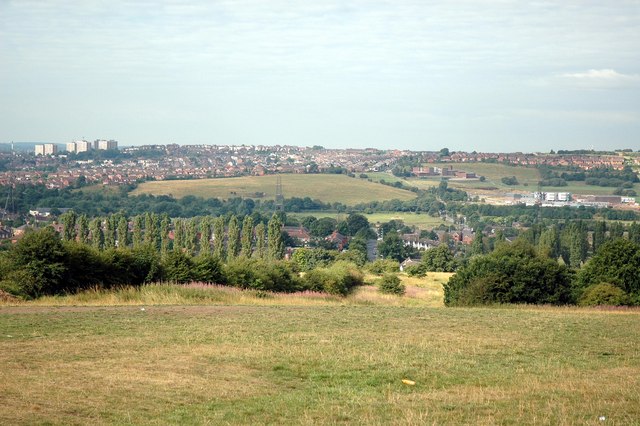
Baddeley Green is known for its picturesque surroundings, with rolling countryside and green fields surrounding the village. The area is mainly residential, consisting of a mix of detached and semi-detached houses, as well as some bungalows. There are also a few local amenities, including a primary school, a small convenience store, and a couple of pubs.
The village is well-connected to the surrounding areas by road. The A53 road runs through the village, providing easy access to Stoke-on-Trent and other nearby towns. There are also several bus routes that serve Baddeley Green, connecting it to the wider public transport network.
One notable feature of Baddeley Green is its proximity to the scenic countryside. The village is located near the edge of the Staffordshire Moorlands, offering residents and visitors the opportunity to explore nature and enjoy outdoor activities such as hiking and cycling.
Overall, Baddeley Green is a peaceful and quiet village with a strong sense of community. Its beautiful surroundings and convenient location make it an attractive place to live for those who value a rural lifestyle while still being close to urban amenities.
If you have any feedback on the listing, please let us know in the comments section below.
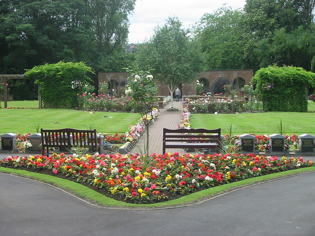
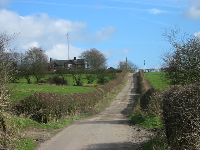
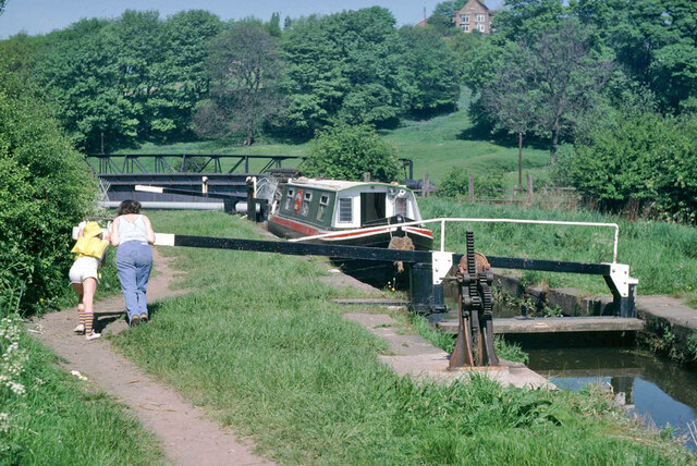
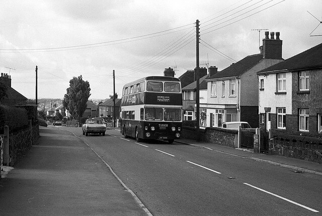
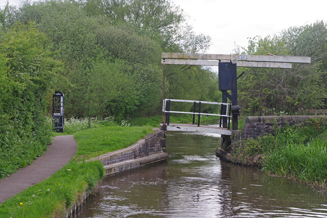
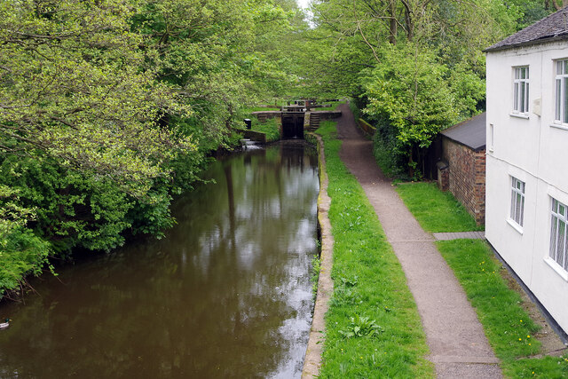
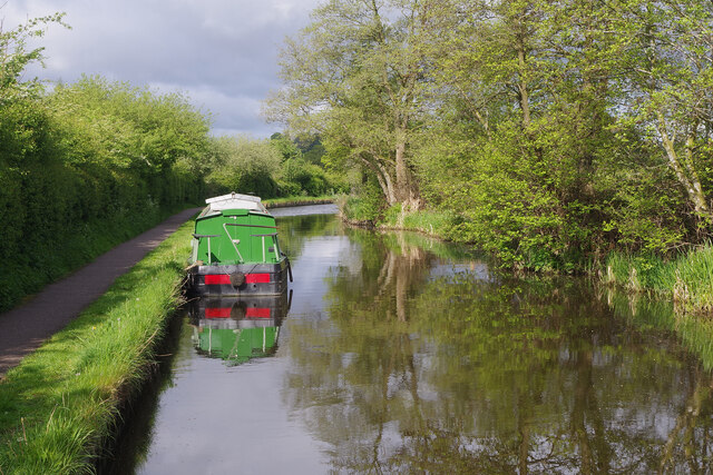
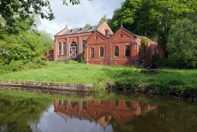
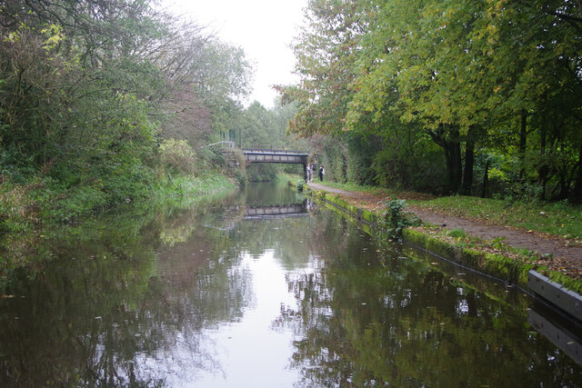
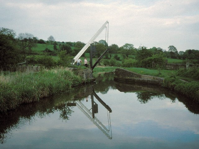
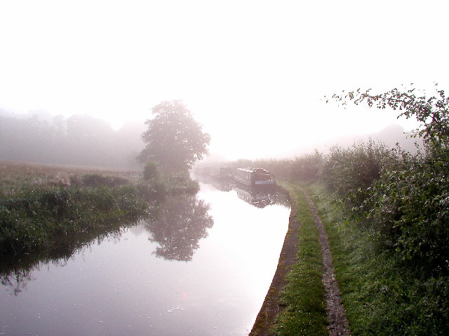
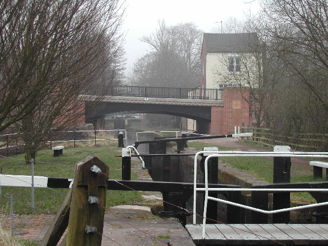
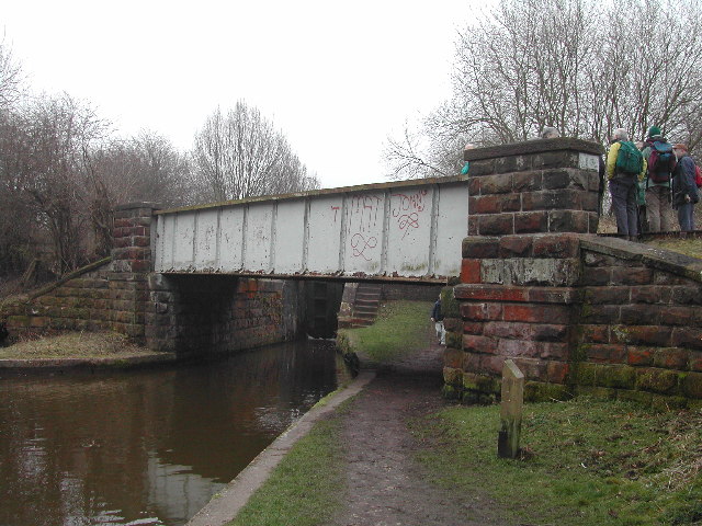
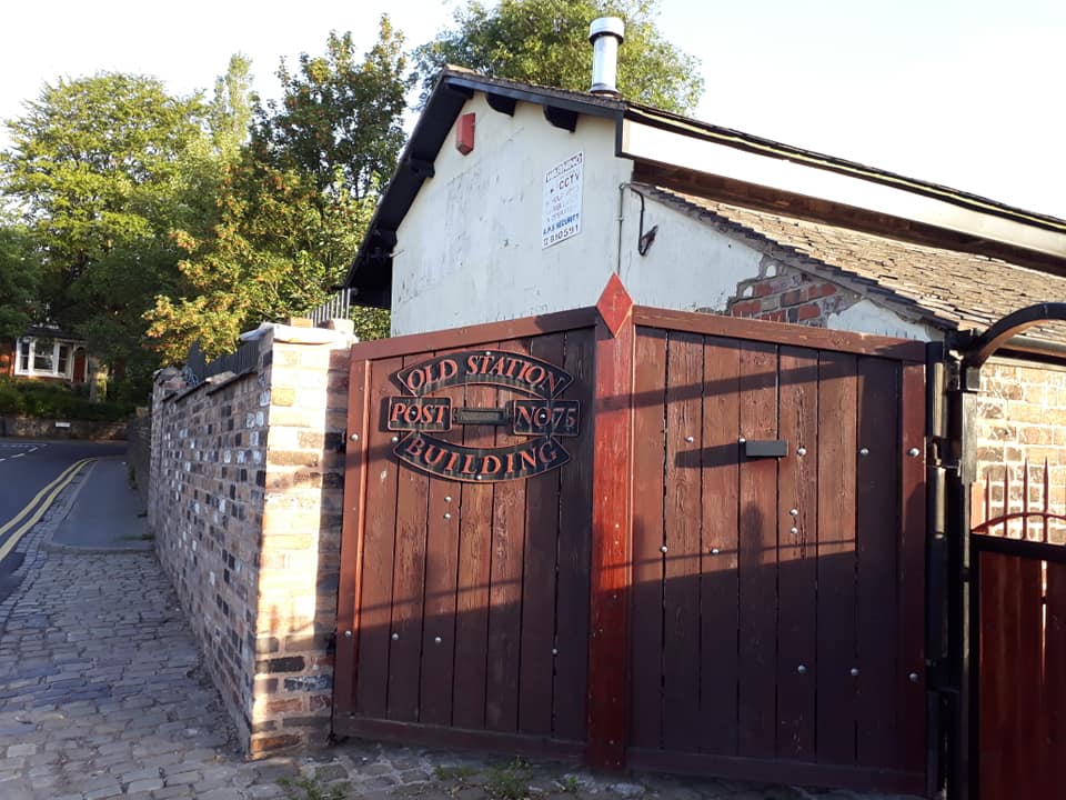
Baddeley Green Images
Images are sourced within 2km of 53.060474/-2.135306 or Grid Reference SJ9151. Thanks to Geograph Open Source API. All images are credited.


Baddeley Green is located at Grid Ref: SJ9151 (Lat: 53.060474, Lng: -2.135306)
Unitary Authority: Stoke-on-Trent
Police Authority: Staffordshire
What 3 Words
///jukebox.books.shot. Near Tunstall, Staffordshire
Nearby Locations
Related Wikis

Baddeley Green
Baddeley Green is an area of Stoke-on-Trent, Staffordshire, England. Baddeley Green is part of the Abbey Green ward, which covers the areas of Baddeley...
Norton Green, Stoke-on-Trent
Norton Green is a small hamlet in Stoke-on-Trent. Located in the hamlet are two Primitive Methodist Chapels which were built in 1857 and 1871. == References ==
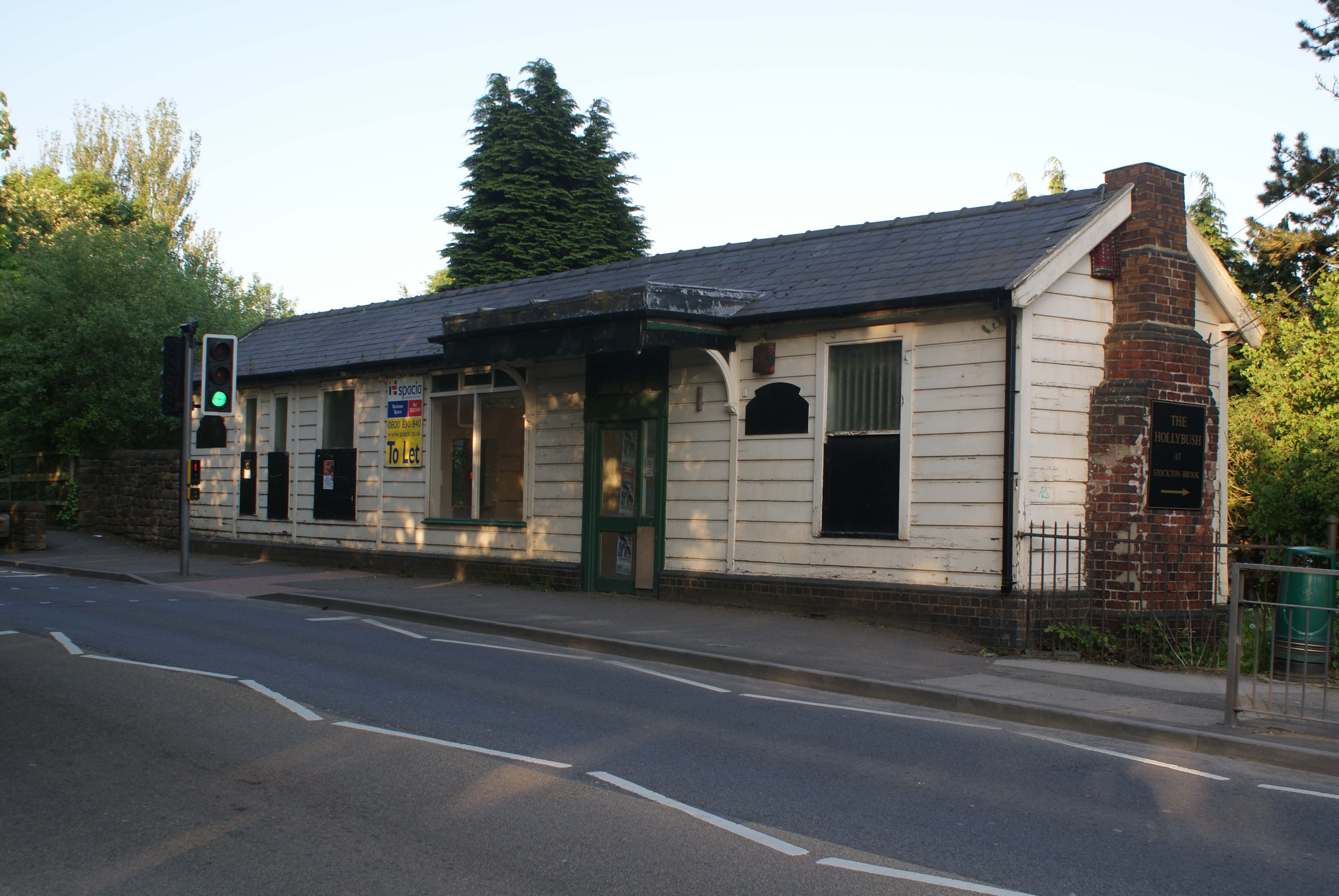
Stockton Brook railway station
Stockton Brook railway station is a disused railway station in Staffordshire. == History == The Stoke–Leek line was opened by the North Staffordshire Railway...

Milton, Staffordshire
Milton is an area of Stoke-on-Trent, in the county of Staffordshire, England. It is mainly situated between the A5009 and A53 roads. It shares its borders...
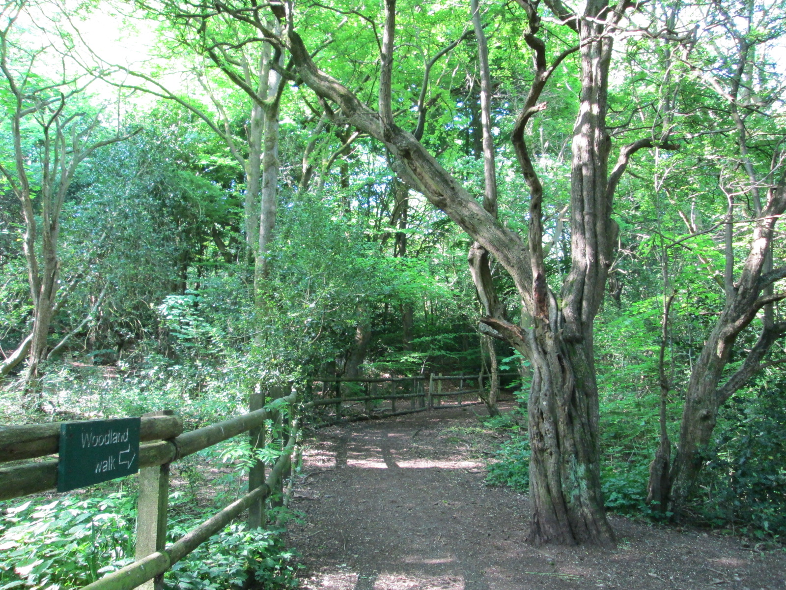
Bagnall Road Wood
Bagnall Road Wood is a local nature reserve near Milton, on the eastern fringe of Stoke-on-Trent, England. == History and description == The site was a...
Milton railway station (Staffordshire)
Milton railway station is a disused railway station in Staffordshire, England. The Stoke–Leek line was opened by the North Staffordshire Railway (NSR)...
Ball Green
Ball Green is a small village in Stoke-on-Trent. Ball Green is in the suburb of Chell near to Burslem. == References ==

Brown Edge
Brown Edge is a village and civil parish in the Staffordshire Moorlands district of Staffordshire, England. According to the 2001 census it had a population...
Nearby Amenities
Located within 500m of 53.060474,-2.135306Have you been to Baddeley Green?
Leave your review of Baddeley Green below (or comments, questions and feedback).