Baddeley Edge

Settlement in Staffordshire

England

Baddeley Edge

Carmountside Cemetery The Memorial Gardens at Carmountside Cemetery, Stoke on Trent where cremated ashes are spread.
Carmountside Cemetery Credit: Phil Eptlett

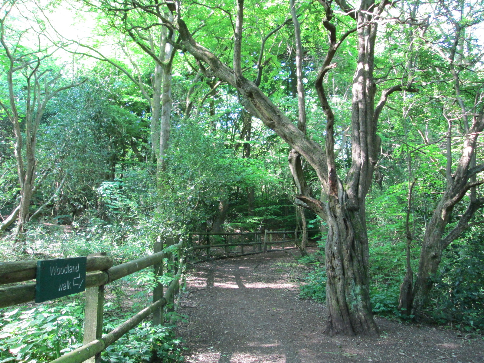
Baddeley Edge is a picturesque area located in the county of Staffordshire, England. Situated near the town of Leek, it is a popular destination for nature enthusiasts and hikers alike. The site is part of the Peak District National Park, renowned for its stunning landscapes and outdoor activities.

The Edge is characterized by its rugged and rocky terrain, with towering cliffs and sweeping views of the surrounding countryside. It offers a diverse range of walking trails, catering to different levels of difficulty and experience. Visitors can explore the area's vast network of footpaths, taking in the breathtaking scenery and enjoying the tranquility of nature.

One of the main attractions of Baddeley Edge is its unique rock formations, which have been shaped by millions of years of geological activity. These rock formations, known as tors, provide a challenging yet rewarding climbing experience for rock climbers and bouldering enthusiasts.

Aside from its natural beauty, Baddeley Edge also has historical significance. The area is home to several ancient burial mounds, known as barrows, dating back to the Bronze Age. These historic landmarks offer a glimpse into the region's rich cultural heritage.

Baddeley Edge is easily accessible, with ample parking facilities available nearby. The site is also equipped with visitor amenities, including picnic areas and information boards, ensuring a pleasant and informative visit for all. Whether it's for a leisurely stroll, an adrenaline-fueled climb, or an exploration of the area's history, Baddeley Edge offers something for everyone seeking to immerse themselves in the beauty of Staffordshire's countryside.

If you have any feedback on the listing, please let us know in the comments section below.

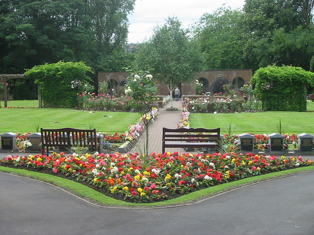
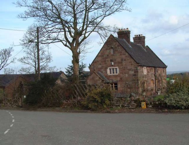
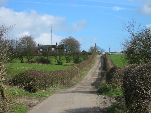
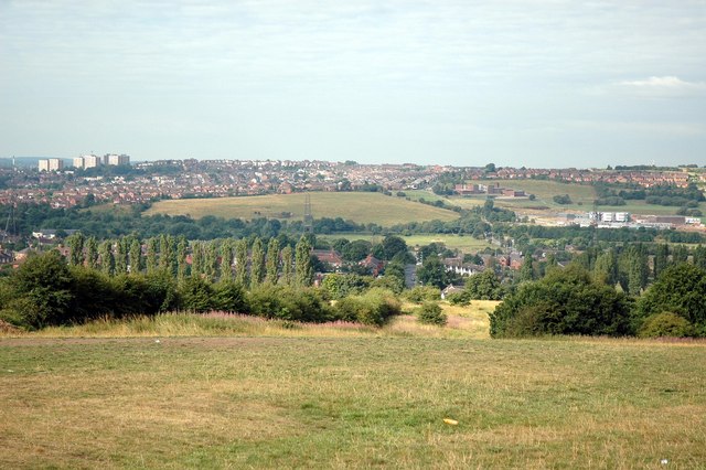
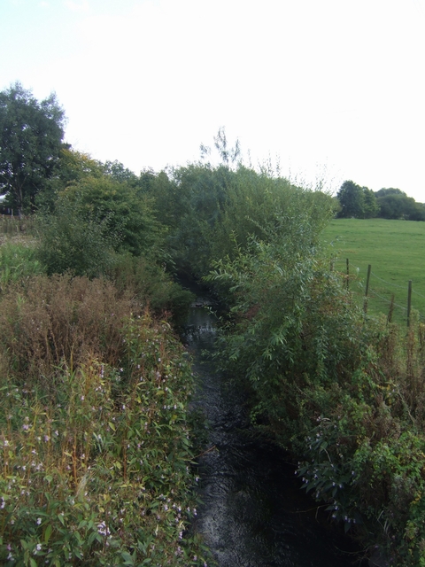
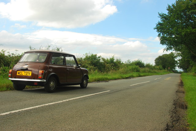
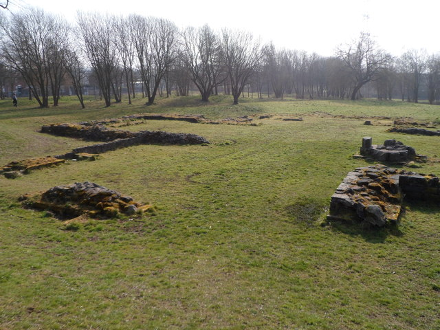
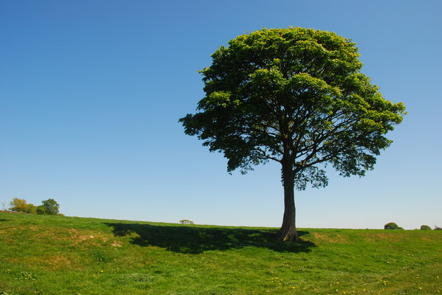
Baddeley Edge Images

Images are sourced within 2km of 53.051403/-2.12752 or Grid Reference SJ9150. Thanks to Geograph Open Source API. All images are credited.

Carmountside Cemetery The Memorial Gardens at Carmountside Cemetery, Stoke on Trent where cremated ashes are spread.
Carmountside Cemetery
The Memorial Gardens at Carmountside Cemetery, Stoke on Trent where cremated ashes are spread.
Greenfields Farm, Kerry Hill On Jack Hayes Lane near to the junction with Eaves Lane at Kerry Hill, Stoke-on-Trent
Greenfields Farm, Kerry Hill
On Jack Hayes Lane near to the junction with Eaves Lane at Kerry Hill, Stoke-on-Trent
Woodhead Farm Woodhead Road, Abbey Hulton, Stoke on Trent, showing the farm and communications mast behind.
Woodhead Farm
Woodhead Road, Abbey Hulton, Stoke on Trent, showing the farm and communications mast behind.
View Across to Birches Head Taken from the land behind the Crematorium next to Woodhead Lane
View Across to Birches Head
Taken from the land behind the Crematorium next to Woodhead Lane
River Trent downstream of Abbey Farm The waft of sewage treatment hangs in the air. The river has entered the Waterside Park. The City Council is making an attempt to make something of the river from which the city takes its name.
River Trent downstream of Abbey Farm
The waft of sewage treatment hangs in the air. The river has entered the Waterside Park. The City Council is making an attempt to make something of the river from which the city takes its name.
Caldon Canal south of Milton, Stoke-on-Trent Looking north.

The seventeen mile Caldon Canal was opened from Etruria to Froghall in 1779, and extended to Uttoxeter in 1811, though this extension only operated until the late 1840s. The canal has seventeen locks and the 69 metre long very low Froghall Tunnel, unusable by many narrowboats.
Caldon Canal south of Milton, Stoke-on-Trent
Looking north. The seventeen mile Caldon Canal was opened from Etruria to Froghall in 1779, and extended to Uttoxeter in 1811, though this extension only operated until the late 1840s. The canal has seventeen locks and the 69 metre long very low Froghall Tunnel, unusable by many narrowboats.
Bridge near Abbey Hulton Bridge over the river Trent, on Birches Head Road near the junction with Leek Road.
Bridge near Abbey Hulton
Bridge over the river Trent, on Birches Head Road near the junction with Leek Road.
Trent Country Club, near Abbey Hulton Near bridge over the river Trent (seen here on the extreme right), at the eastern end of Birches Head Road.
Trent Country Club, near Abbey Hulton
Near bridge over the river Trent (seen here on the extreme right), at the eastern end of Birches Head Road.
Nice little mini A classic Mini parked on Thorney Edge Road, Bagnall.  I didn't see the owner so took advantage of the view.
Nice little mini
A classic Mini parked on Thorney Edge Road, Bagnall. I didn't see the owner so took advantage of the view.
Ruins of Hulton Abbey All that remains of the abbey that was dissolved in 1538. See <span class="nowrap"><a title="http://en.wikipedia.org/wiki/Hulton_Abbey" rel="nofollow ugc noopener" href="http://en.wikipedia.org/wiki/Hulton_Abbey">Link</a><img style="margin-left:2px;" alt="External link" title="External link - shift click to open in new window" src="https://s1.geograph.org.uk/img/external.png" width="10" height="10"/></span> for further details.
Ruins of Hulton Abbey
All that remains of the abbey that was dissolved in 1538. See LinkExternal link for further details.
Ruined foundations of Hulton Abbey All that remains of Hulton Abbey which was dissolved in 1538. See <span class="nowrap"><a title="http://en.wikipedia.org/wiki/Hulton_Abbey" rel="nofollow ugc noopener" href="http://en.wikipedia.org/wiki/Hulton_Abbey">Link</a><img style="margin-left:2px;" alt="External link" title="External link - shift click to open in new window" src="https://s1.geograph.org.uk/img/external.png" width="10" height="10"/></span> for further details.
Ruined foundations of Hulton Abbey
All that remains of Hulton Abbey which was dissolved in 1538. See LinkExternal link for further details.
Random blocks of stone from Hulton Abbey remains Cut and shaped stone blocks found around the site during the 1980s excavations of the remains of Hulton Abbey.
See the foundations <a href="https://www.geograph.org.uk/photo/4393300">SJ9049 : Ruins of Hulton Abbey</a> and <a href="https://www.geograph.org.uk/photo/4393311">SJ9049 : Ruined foundations of Hulton Abbey</a> 
The Abbey was dissolved in 1538.
Random blocks of stone from Hulton Abbey remains
Cut and shaped stone blocks found around the site during the 1980s excavations of the remains of Hulton Abbey. See the foundations SJ9049 : Ruins of Hulton Abbey and SJ9049 : Ruined foundations of Hulton Abbey The Abbey was dissolved in 1538.
Oak Tree In the field next to Jack Haye Lane.
Oak Tree
In the field next to Jack Haye Lane.
Hulton Abbey, Abbey Hulton <span class="nowrap"><a title="https://en.wikipedia.org/wiki/Hulton_Abbey" rel="nofollow ugc noopener" href="https://en.wikipedia.org/wiki/Hulton_Abbey">Link</a><img style="margin-left:2px;" alt="External link" title="External link - shift click to open in new window" src="https://s1.geograph.org.uk/img/external.png" width="10" height="10"/></span>
Hulton Abbey, Abbey Hulton
Abbey Farm First Pipe Bridge, Caldon Canal Belonging to Severn Trent Water
Abbey Farm First Pipe Bridge, Caldon Canal
Belonging to Severn Trent Water
Carmountside Cemetery On the last day of January with snow and frost on the ground the rows of headstones have the look of people standing to attention.
Carmountside Cemetery
On the last day of January with snow and frost on the ground the rows of headstones have the look of people standing to attention.
Carmountside Crematorium The building is quite austere and on the day we were there was very busy with thirteen funerals, including one double funeral.
Carmountside Crematorium
The building is quite austere and on the day we were there was very busy with thirteen funerals, including one double funeral.
Old Milepost by the A5009, Leek Road, Stoke on Trent Parish Cast iron post by the A5009, in parish of STOKE ON TRENT (STOKE ON TRENT District), between Milton and Abbey Hulton, behind tarmac path on grass, on East side of road. Lathe iron casting, erected by the County Council in the 19th/20th century. 

Inscription reads:- : HANLEY 2¼ / STOKE 3¼ / NEWCASTLE 4¾ : : ABBEY / HULTON : : MILTON ¾ / ENDON 3½ / LEEK 8 : : Chas. Lathe, Tipton. :

Milestone Society National ID: ST_LKSK08.
Old Milepost by the A5009, Leek Road, Stoke on Trent Parish
Cast iron post by the A5009, in parish of STOKE ON TRENT (STOKE ON TRENT District), between Milton and Abbey Hulton, behind tarmac path on grass, on East side of road. Lathe iron casting, erected by the County Council in the 19th/20th century. Inscription reads:- : HANLEY 2¼ / STOKE 3¼ / NEWCASTLE 4¾ : : ABBEY / HULTON : : MILTON ¾ / ENDON 3½ / LEEK 8 : : Chas. Lathe, Tipton. : Milestone Society National ID: ST_LKSK08.
Show me another place!

Baddeley Edge is located at Grid Ref: SJ9150 (Lat: 53.051403, Lng: -2.12752)

Unitary Authority: Stoke-on-Trent

Police Authority: Staffordshire

What 3 Words

///plug.spun.apple. Near Tunstall, Staffordshire

Nearby Locations

Baddeley Edge

Related Wikis

Bagnall Road Wood

Bagnall Road Wood is a local nature reserve near Milton, on the eastern fringe of Stoke-on-Trent, England. == History and description == The site was a...

Milton, Staffordshire

Milton is an area of Stoke-on-Trent, in the county of Staffordshire, England. It is mainly situated between the A5009 and A53 roads. It shares its borders...

Baddeley Green

Baddeley Green is an area of Stoke-on-Trent, Staffordshire, England. Baddeley Green is part of the Abbey Green ward, which covers the areas of Baddeley...

Abbey Green ward

Abbey Green was an electoral ward of Stoke-on-Trent. The ward covered the areas of Baddeley Green, Milton and Abbey Hulton as well as Baddeley Edge and...

Baddeley Edge

Baddeley Edge is a hamlet in the north of the city of Stoke-on-Trent, in the north of the county of Staffordshire. == Electoral Boundaries == It was formerly...

Ford Green Brook

Ford Green Brook flows through Staffordshire and the outlying areas of Stoke-on-Trent, England. It is the first named tributary stream of the River Trent...

Bagnall, Staffordshire

Bagnall is a village and civil parish in Staffordshire, England, north-east of Stoke-on-Trent. Although Bagnall is located only a few short miles from...

Milton railway station (Staffordshire)

Milton railway station is a disused railway station in Staffordshire, England. The Stoke–Leek line was opened by the North Staffordshire Railway (NSR)...

Nearby Amenities

Located within 500m of 53.051403,-2.12752
Telephone
Booth: K6
Covered: booth
Man Made: telephone_box
Lat/Long: 53.0493013/-2.1240071
Post Box
Post Box Mounting: brick_pillar
Post Box Type: wall
Royal Cypher: GVIR
Royal Cypher Wikidata: Q33102169
Lat/Long: 53.0493001/-2.1240768
Baddeley Edge
Place: hamlet
Lat/Long: 53.0535818/-2.1273696
Generator Method: wind_turbine
Generator Source: wind
Generator Type: horizontal_axis
Power: generator
Lat/Long: 53.0550594/-2.1262923
Barrier: bollard
Foot: yes
Lat/Long: 53.0539584/-2.1335374
Turning Circle
Lat/Long: 53.0554482/-2.1261597
Grit Bin
Lat/Long: 53.0539679/-2.1335418
Power: transformer
Lat/Long: 53.0492532/-2.1239707
Waste Basket
Lat/Long: 53.0493512/-2.1238902
The data included in this document is from www.openstreetmap.org. The data is made available under ODbL.

Have you been to Baddeley Edge?

Leave your review of Baddeley Edge below (or comments, questions and feedback).