Wardown Lake

Lake, Pool, Pond, Freshwater Marsh in Bedfordshire

England

Wardown Lake

Hitchin Road Section of the former Luton to Hitchin road through Stopsley, once a village in its own right but now a suburb of Luton.  On the far right of the photo is the postbox in <a href="https://www.geograph.org.uk/photo/7184357">TL1023 : Postbox, Hitchin Road</a>.
Hitchin Road Credit: Ian Capper

Wardown Lake is a picturesque freshwater body situated in Bedfordshire, England. Spanning an area of approximately 4.5 hectares, the lake is located within the renowned Wardown Park, a popular recreational area in the town of Luton.

The lake itself is a man-made feature, created in the late 19th century as part of a landscaping project that aimed to transform the surrounding marshy land into a beautiful public space. It is fed by a combination of natural water sources and an inlet from the River Lea.

Surrounded by lush greenery and dotted with various species of aquatic plants, Wardown Lake serves as a habitat for a diverse range of wildlife. Numerous species of fish, including roach, bream, and carp, thrive in its waters, attracting anglers from near and far. Additionally, the lake is home to a variety of waterfowl, such as mallards, coots, and swans, which can often be seen gracefully gliding across the surface.

Visitors to Wardown Lake can enjoy a range of recreational activities. The lake offers opportunities for boating and kayaking, allowing visitors to explore its tranquil waters at their leisure. For those who prefer to stay on land, there are well-maintained walking paths that encircle the lake, providing scenic views and ample birdwatching opportunities.

Overall, Wardown Lake is a natural gem within Bedfordshire, offering both locals and visitors a peaceful retreat amidst nature's beauty. Its combination of serene waters, abundant wildlife, and recreational amenities make it a cherished destination for all who appreciate the outdoors.

If you have any feedback on the listing, please let us know in the comments section below.
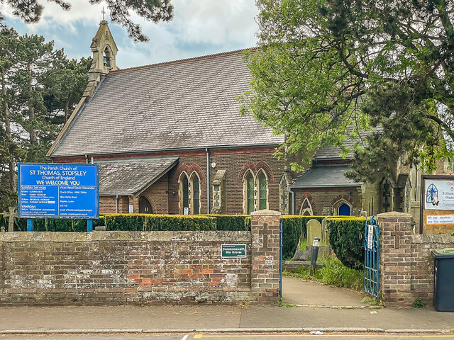
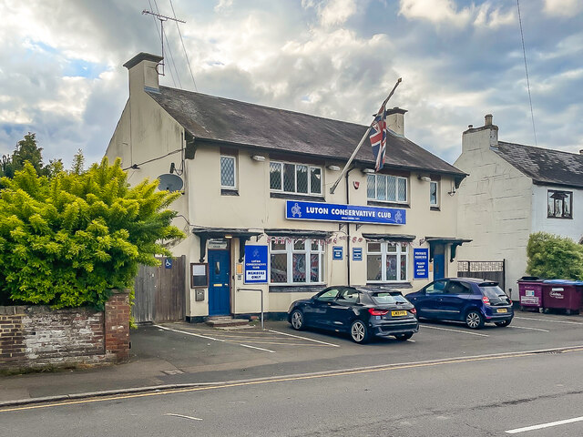
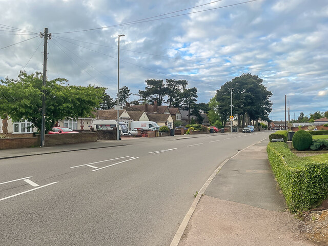
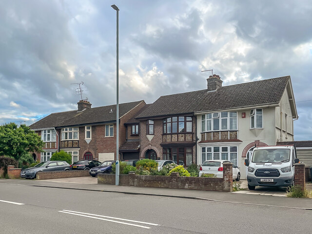
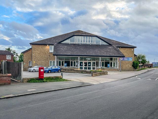
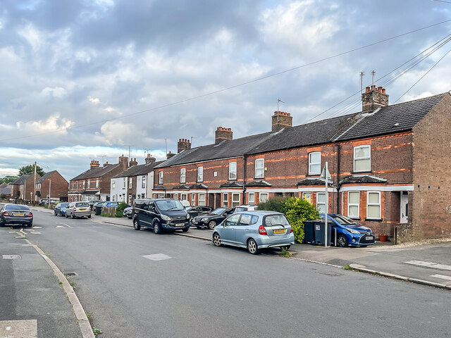
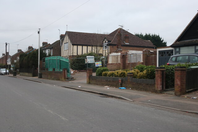
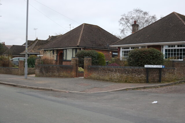
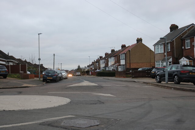
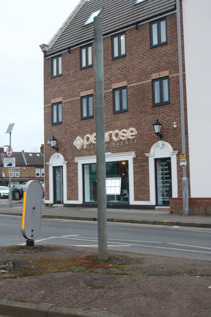
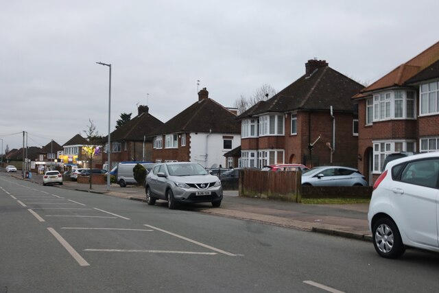
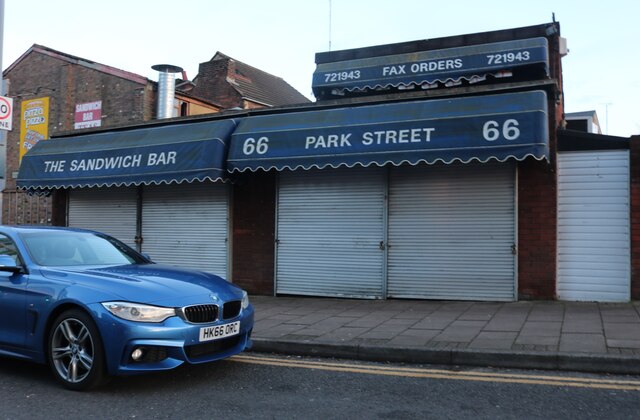
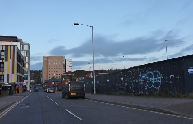
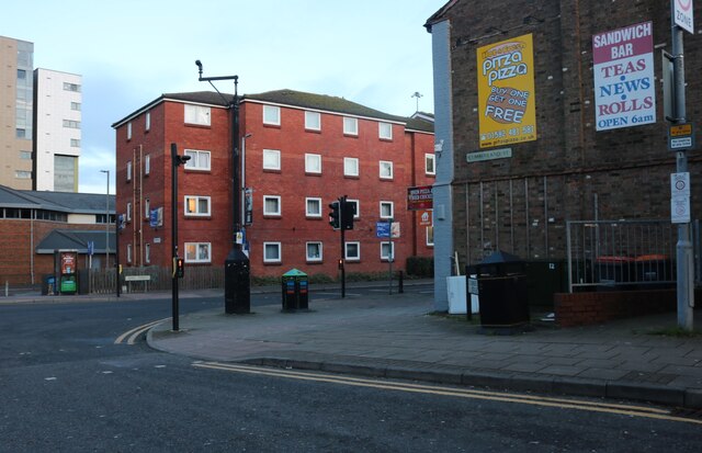
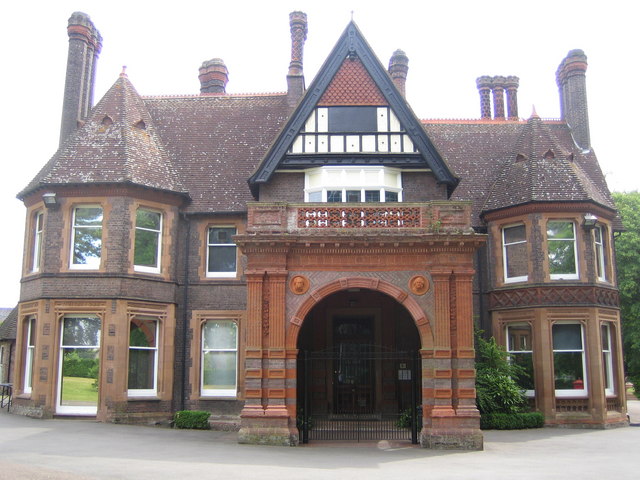
Wardown Lake Images

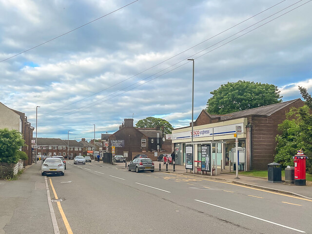
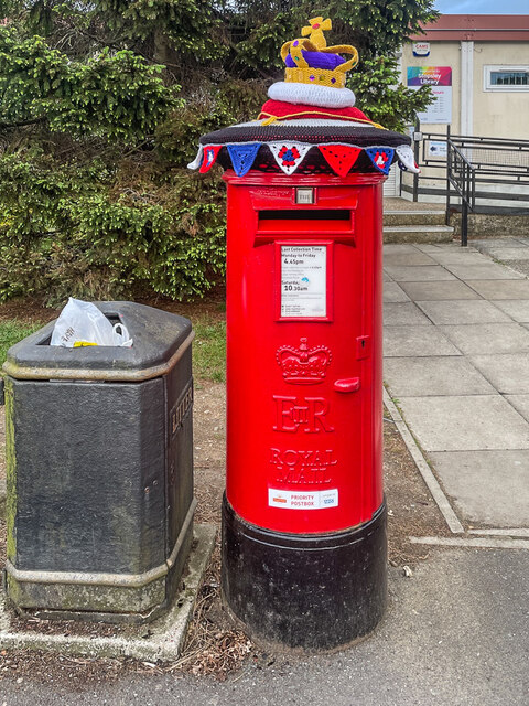
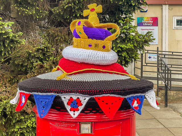
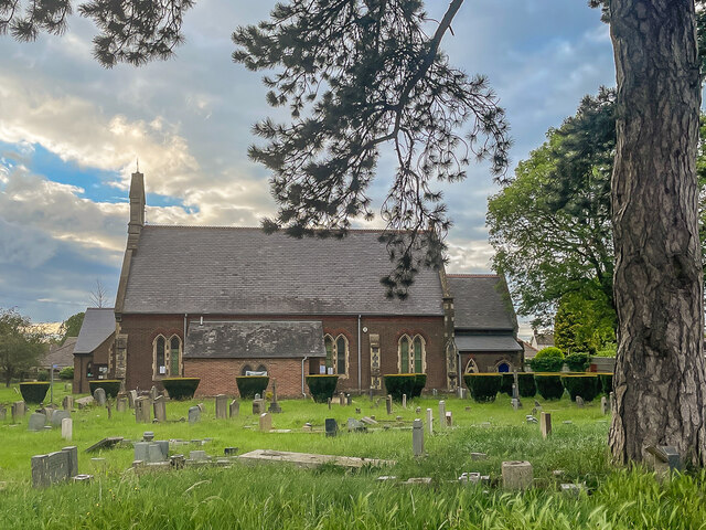
Images are sourced within 2km of 51.89298/-0.41968092 or Grid Reference TL0822. Thanks to Geograph Open Source API. All images are credited.

Hitchin Road Section of the former Luton to Hitchin road through Stopsley, once a village in its own right but now a suburb of Luton.  On the far right of the photo is the postbox in <a href="https://www.geograph.org.uk/photo/7184357">TL1023 : Postbox, Hitchin Road</a>.
Hitchin Road
Section of the former Luton to Hitchin road through Stopsley, once a village in its own right but now a suburb of Luton. On the far right of the photo is the postbox in TL1023 : Postbox, Hitchin Road.
Postbox, Hitchin Road Postbox in Hitchin Road outside Stopsley Library adorned with a topper commemorating Queen Elizabeth II's Platinum Jubilee.  For a close up of the topper see <a href="https://www.geograph.org.uk/photo/7184358">TL1023 : Postbox topper, Hitchin Road</a> and for a wider view see <a href="https://www.geograph.org.uk/photo/7184354">TL1023 : Hitchin Road</a>.
Postbox, Hitchin Road
Postbox in Hitchin Road outside Stopsley Library adorned with a topper commemorating Queen Elizabeth II's Platinum Jubilee. For a close up of the topper see TL1023 : Postbox topper, Hitchin Road and for a wider view see TL1023 : Hitchin Road.
Postbox topper, Hitchin Road A knitted postbox topper on a postbox in Hitchin Road outside Stopsley Library adorned with a topper commemorating Queen Elizabeth II's Platinum Jubilee.  For a photo of the whole postbox see <a href="https://www.geograph.org.uk/photo/7184357">TL1023 : Postbox, Hitchin Road</a>.
Postbox topper, Hitchin Road
A knitted postbox topper on a postbox in Hitchin Road outside Stopsley Library adorned with a topper commemorating Queen Elizabeth II's Platinum Jubilee. For a photo of the whole postbox see TL1023 : Postbox, Hitchin Road.
St Thomas's Church, Stopsley Parish church for Stopsley, consecrated in 1862.
St Thomas's Church, Stopsley
Parish church for Stopsley, consecrated in 1862.
St Thomas's Church, Stopsley Parish church for Stopsley, consecrated in 1862.
St Thomas's Church, Stopsley
Parish church for Stopsley, consecrated in 1862.
Luton Conservative Club Social club and local party headquarters at 587 Hitchin Road in Stopsley.
Luton Conservative Club
Social club and local party headquarters at 587 Hitchin Road in Stopsley.
Hitchin Road Housing in Hitchin Road in Stopsley.
Hitchin Road
Housing in Hitchin Road in Stopsley.
553 - 561 Hitchin Road Pair of semi-detached houses in Hitchin Road in Stopsley, all with unusual stone detailing below the first floor bay windows.
553 - 561 Hitchin Road
Pair of semi-detached houses in Hitchin Road in Stopsley, all with unusual stone detailing below the first floor bay windows.
Stopsley Baptist Church Baptist church in St Thomas's Road in Stopsley, completed in 1994.
Stopsley Baptist Church
Baptist church in St Thomas's Road in Stopsley, completed in 1994.
St Thomas's Road Terraced cottages in St Thomas's Road in Stopsley, originally Bury Road.  The cottages have a name and date plaque "Marsom Place 1903", the name referring to Thomas Marsom, the first Baptist minister in Luton.
St Thomas's Road
Terraced cottages in St Thomas's Road in Stopsley, originally Bury Road. The cottages have a name and date plaque "Marsom Place 1903", the name referring to Thomas Marsom, the first Baptist minister in Luton.
Ashcroft Road, Stopsley The bungalow looked in perfect condition last year so may be being cleared for a new build.
Ashcroft Road, Stopsley
The bungalow looked in perfect condition last year so may be being cleared for a new build.
Bungalows on Ashcroft Road, Stopsley
Mini-roundabout on Ashcroft Road, Stopsley
Penrose estate agents on Hitchin Road, Luton
Ashcroft Road, Stopsley
The Sandwich Bar, 66 Park Street, Luton
Cumberland Street, Luton
Cumberland Street at the junction of Park Street
Show me another place!

Wardown Lake is located at Grid Ref: TL0822 (Lat: 51.89298, Lng: -0.41968092)

Unitary Authority: Luton

Police Authority: Bedfordshire

What 3 Words

///stamp.slides.riders. Near Luton, Bedfordshire

Related Wikis

Luton Carnival

Luton International Carnival is a large carnival in Luton, Bedfordshire. The carnival is commissioned by Luton Borough Council and is artistically produced...

Wardown Park

Wardown Park is situated on the River Lea in Luton. The park has various sporting facilities, is home to the Wardown Park Museum and contains formal gardens...

Wardown Park Museum

Wardown House Museum and Gallery formerly Wardown Park Museum and, before that, the Luton Museum & Art Gallery in Luton, is housed in a large Victorian...

Denbigh High School, Luton

Denbigh High School is an academy school in Luton, Bedfordshire, England. Colin Townsend was Headteacher, following Dame Yasmin Bevan's retirement as Executive...

Nearby Amenities

Located within 500m of 51.89298,-0.41968092
Traffic Signals
Lat/Long: 51.8966859/-0.4159726
Crossing
Lat/Long: 51.8939194/-0.4194603
Traffic Calming: table
Lat/Long: 51.8919716/-0.4246528
Traffic Calming: hump
Lat/Long: 51.8903606/-0.4224177
Traffic Signals
Lat/Long: 51.8930331/-0.4211031
School: entrance
Lat/Long: 51.8917819/-0.4247135
Traffic Calming: table
Lat/Long: 51.8919123/-0.4245446
Crossing
Bicycle: no
Crossing: zebra
Crossing Ref: zebra
Tactile Paving: yes
Lat/Long: 51.896607/-0.4203633
Post Box
Brand: Royal Mail
Brand Wikidata: Q638098
Brand Wikipedia: en:Royal Mail
Collection Times: Mo-Fr 17:30; Sa 12:00
Operator: Royal Mail
Operator Wikidata: Q638098
Post Box Type: pillar
Ref: LU3 52
Royal Cypher: EIIR
Royal Cypher Wikidata: Q33102113
Source: survey
Lat/Long: 51.889516/-0.4214471
Post Box
Brand: Royal Mail
Brand Wikidata: Q638098
Brand Wikipedia: en:Royal Mail
Collection Times: Mo-Fr 17:30; Sa 12:00
Operator: Royal Mail
Operator Wikidata: Q638098
Post Box Type: pillar
Ref: LU3 99
Royal Cypher: EIIR
Royal Cypher Wikidata: Q33102113
Source: survey
Lat/Long: 51.8945732/-0.4253257
Post Box
Brand: Royal Mail
Brand Wikidata: Q638098
Brand Wikipedia: en:Royal Mail
Collection Times: Mo-Fr 17:30; Sa 12:00
Operator: Royal Mail
Operator Wikidata: Q638098
Post Box Type: pillar
Ref: LU3 79
Royal Cypher: EIIR
Royal Cypher Wikidata: Q33102113
Source: survey
Lat/Long: 51.8965605/-0.4218495
Post Box
Brand: Royal Mail
Brand Wikidata: Q638098
Brand Wikipedia: en:Royal Mail
Collection Times: Mo-Fr 17:30; Sa 12:30
Operator: Royal Mail
Operator Wikidata: Q638098
Post Box Design: penfold
Post Box Type: pillar
Ref: LU2 101
Royal Cypher: VR
Royal Cypher Wikidata: Q33102356
Source: survey
Lat/Long: 51.894544/-0.4187203
Post Box
Brand: Royal Mail
Brand Wikidata: Q638098
Brand Wikipedia: en:Royal Mail
Collection Times: Mo-Fr 17:30; Sa 12:30
Operator: Royal Mail
Operator Wikidata: Q638098
Post Box Type: pillar
Ref: LU2 66
Royal Cypher: GR
Royal Cypher Wikidata: Q33102273
Source: survey
Lat/Long: 51.8920032/-0.4173012
Crossing
Crossing: uncontrolled
Crossing Island: no
Crossing Ref: zebra
Lat/Long: 51.8939469/-0.4211228
Traffic Calming: cushion
Lat/Long: 51.8943819/-0.4255748
Traffic Calming: table
Lat/Long: 51.8902565/-0.4213919
Bench
Lat/Long: 51.891356/-0.4182405
Bench
Lat/Long: 51.8914346/-0.4183006
Bench
Lat/Long: 51.8915067/-0.4183608
Social Facility
Victoriana
Addr City: Luton
Addr Country: GB
Addr Housenumber: 5
Addr Postcode: LU3 1EE
Addr Street: Lansdowne Road
Fhrs Authority: Luton
Fhrs Id: 359543
Fhrs Local Authority Id: 9710
Social Facility: assisted_living
Social Facility For: senior
Lat/Long: 51.8895242/-0.4222736
Crossing
Crossing: unmarked
Lat/Long: 51.8897031/-0.4185649
Bus Stop
Bus: yes
Public Transport: platform
Shelter: yes
Lat/Long: 51.888969/-0.4186108
Direction: 115
Fixme: survey: roof west face also?
Generator Method: photovoltaic
Generator Output Electricity: yes
Generator Solar Modules: 6
Generator Source: solar
Generator Type: solar_photovoltaic_panel
Location: roof
Power: generator
Lat/Long: 51.8914205/-0.4174236
Direction: 200
Fixme: survey for panel count
Generator Method: photovoltaic
Generator Output Electricity: yes
Generator Solar Modules: 10
Generator Source: solar
Generator Type: solar_photovoltaic_panel
Location: roof
Power: generator
Lat/Long: 51.8932008/-0.4164745
Direction: 110
Generator Method: photovoltaic
Generator Output Electricity: yes
Generator Solar Modules: 3
Generator Source: solar
Generator Type: solar_photovoltaic_panel
Location: roof
Power: generator
Lat/Long: 51.8932386/-0.4163255
Direction: 180
Generator Method: photovoltaic
Generator Output Electricity: yes
Generator Solar Modules: 14
Generator Source: solar
Generator Type: solar_photovoltaic_panel
Location: roof
Power: generator
Lat/Long: 51.8936653/-0.4157308
Crossing
Crossing: unmarked
Crossing Island: yes
Crossing Markings: no
Lat/Long: 51.8952282/-0.4165039
Cycleway: asl
Lat/Long: 51.8964912/-0.4160534
Crossing
Crossing: traffic_signals
Lat/Long: 51.8966896/-0.4157987
Crossing
Crossing: marked
Lat/Long: 51.8966733/-0.4162537
Direction: 160
Generator Method: photovoltaic
Generator Output Electricity: yes
Generator Solar Modules: 16
Generator Source: solar
Generator Type: solar_photovoltaic_panel
Location: roof
Power: generator
Lat/Long: 51.8892544/-0.4232989
Traffic Calming: hump
Lat/Long: 51.8892228/-0.4228972
Traffic Calming: hump
Lat/Long: 51.8895108/-0.4218292
Traffic Calming: table
Lat/Long: 51.889631/-0.421373
Direction: 155
Generator Method: photovoltaic
Generator Output Electricity: yes
Generator Solar Modules: 10
Generator Source: solar
Generator Type: solar_photovoltaic_panel
Location: roof
Power: generator
Lat/Long: 51.8899209/-0.4245638
Traffic Calming: hump
Lat/Long: 51.8899184/-0.4240473
Traffic Calming: hump
Lat/Long: 51.8901283/-0.4232375
Direction: 155
Fixme: survey for panel count & type
Generator Method: photovoltaic
Generator Output Electricity: yes
Generator Solar Modules: 16
Generator Source: solar
Generator Type: solar_photovoltaic_panel
Location: roof
Power: generator
Lat/Long: 51.8901891/-0.4235595
Traffic Calming: hump
Lat/Long: 51.8904589/-0.421794
Traffic Calming: hump
Lat/Long: 51.892846/-0.4263249
Direction: 220
Generator Method: photovoltaic
Generator Output Electricity: yes
Generator Solar Modules: 17
Generator Source: solar
Generator Type: solar_photovoltaic_panel
Location: roof
Power: generator
Lat/Long: 51.8924145/-0.425904
Direction: 130
Generator Method: photovoltaic
Generator Output Electricity: yes
Generator Solar Modules: 4
Generator Source: solar
Generator Type: solar_photovoltaic_panel
Location: roof
Power: generator
Lat/Long: 51.8915044/-0.4241197
Traffic Calming: hump
Lat/Long: 51.8912434/-0.4232844
Traffic Calming: hump
Lat/Long: 51.8909498/-0.4227247
Direction: 95
Generator Method: photovoltaic
Generator Output Electricity: yes
Generator Solar Modules: 16
Generator Source: solar
Generator Type: solar_photovoltaic_panel
Location: roof
Power: generator
Lat/Long: 51.8925526/-0.4247007
Traffic Calming: hump
Lat/Long: 51.8931333/-0.4245215
Traffic Calming: hump
Lat/Long: 51.8949643/-0.4259222
Direction: 180
Generator Method: photovoltaic
Generator Output Electricity: yes
Generator Solar Modules: 78
Generator Source: solar
Generator Type: solar_photovoltaic_panel
Location: roof
Power: generator
Lat/Long: 51.8944877/-0.4237837
Direction: 180
Fixme: survey for panel types, counts
Generator Method: photovoltaic
Generator Output Electricity: yes
Generator Solar Modules: 7
Generator Source: solar
Generator Type: solar_photovoltaic_panel
Location: roof
Power: generator
Lat/Long: 51.8926501/-0.422751
Direction: 90
Generator Method: photovoltaic
Generator Output Electricity: yes
Generator Solar Modules: 5
Generator Source: solar
Generator Type: solar_photovoltaic_panel
Location: roof
Power: generator
Lat/Long: 51.89268/-0.4227017
Parking
Lat/Long: 51.8932502/-0.4254233
Traffic Calming: cushion
Lat/Long: 51.8934328/-0.4263971
Direction: 125
Generator Method: photovoltaic
Generator Output Electricity: yes
Generator Solar Modules: 7
Generator Source: solar
Generator Type: solar_photovoltaic_panel
Location: roof
Power: generator
Lat/Long: 51.8935375/-0.4264945
Traffic Calming: cushion
Lat/Long: 51.8949729/-0.4252693
Bus Stop
Bus: yes
Naptan AtcoCode: 02903207
Naptan NaptanCode: ltnawpg
Public Transport: platform
Shelter: no
Lat/Long: 51.8959064/-0.4210673
Crossing
Crossing: zebra
Lat/Long: 51.8963515/-0.4209304
Crossing
Crossing: marked
Lat/Long: 51.8963657/-0.421079
Direction: 180
Fixme: survey for panel count
Generator Method: photovoltaic
Generator Output Electricity: yes
Generator Solar Modules: 16
Generator Source: solar
Generator Type: solar_photovoltaic_panel
Location: roof
Power: generator
Lat/Long: 51.8946485/-0.4222859
Direction: 180
Fixme: survey for panel count
Generator Method: photovoltaic
Generator Output Electricity: yes
Generator Solar Modules: 4
Generator Source: solar
Generator Type: solar_photovoltaic_panel
Location: roof
Power: generator
Lat/Long: 51.8949096/-0.4223651
Direction: 90
Fixme: survey for panel count
Generator Method: photovoltaic
Generator Output Electricity: yes
Generator Solar Modules: 4
Generator Source: solar
Generator Type: solar_photovoltaic_panel
Location: roof
Power: generator
Lat/Long: 51.8949595/-0.4223077
Direction: 90
Fixme: survey for panel count
Generator Method: photovoltaic
Generator Output Electricity: yes
Generator Solar Modules: 4
Generator Source: solar
Generator Type: solar_photovoltaic_panel
Location: roof
Power: generator
Lat/Long: 51.8949913/-0.4223048
Direction: 175
Fixme: survey for panel count
Generator Method: photovoltaic
Generator Output Electricity: yes
Generator Solar Modules: 16
Generator Source: solar
Generator Type: solar_photovoltaic_panel
Location: roof
Power: generator
Lat/Long: 51.8964063/-0.4233011
Direction: 180
Generator Method: photovoltaic
Generator Output Electricity: yes
Generator Solar Modules: 12
Generator Source: solar
Generator Type: solar_photovoltaic_panel
Location: roof
Power: generator
Lat/Long: 51.8968368/-0.4179177
Crossing
Crossing: unmarked
Lat/Long: 51.896971/-0.4210463
Crossing
Crossing: unmarked
Lat/Long: 51.8969739/-0.4209003
Crossing
Crossing: zebra
Crossing Island: no
Tactile Paving: yes
Lat/Long: 51.8967093/-0.4204015
Crossing
Crossing: unmarked
Lat/Long: 51.8966008/-0.4213468
Crossing
Crossing: unmarked
Lat/Long: 51.8966748/-0.4213394
Barrier: kissing_gate
Lat/Long: 51.8965914/-0.4193169
Crossing
Crossing: unmarked
Lat/Long: 51.8966608/-0.4197102
Waste Basket
Bin: yes
Source: survey
Lat/Long: 51.8944827/-0.4175391
Waste Basket
Bin: yes
Source: survey
Lat/Long: 51.8942692/-0.4185704
Waste Basket
Bin: yes
Source: survey
Lat/Long: 51.8935198/-0.4198133
Waste Basket
Bin: yes
Source: survey
Lat/Long: 51.8928916/-0.4201861
Bench
Source: survey
Lat/Long: 51.8922386/-0.4193224
Wardown Leisure Boating
Email: wardownleisureboating@gmail.com
Leisure: marina
Source: survey
Lat/Long: 51.8918049/-0.4190596
Bench
Source: survey
Lat/Long: 51.8916402/-0.4191696
Bench
Source: survey
Lat/Long: 51.89167/-0.4191709
Bench
Source: survey
Lat/Long: 51.8909822/-0.4195679
Bin: yes
Source: survey
Lat/Long: 51.8886063/-0.4211034
The data included in this document is from www.openstreetmap.org. The data is made available under ODbL.

Have you been to Wardown Lake?

Leave your review of Wardown Lake below (or comments, questions and feedback).