Patching Pond

Lake, Pool, Pond, Freshwater Marsh in Sussex Arun

England

Patching Pond

Footpath junction with Grub Ride
Footpath junction with Grub Ride Credit: Shazz

Patching Pond is a freshwater body located in the county of Sussex, England. It is situated near the village of Patching, in close proximity to the South Downs National Park. With an area of approximately 1.5 hectares, the pond serves as an important habitat for a variety of flora and fauna.

The pond itself is a tranquil and picturesque water body, surrounded by lush greenery and diverse plant life. It is primarily fed by underground springs, ensuring a constant flow of fresh water. The water is relatively shallow, with an average depth of around 1.5 meters, allowing sunlight to penetrate through and support the growth of aquatic plants.

Patching Pond is home to a diverse range of wildlife, making it an ideal location for nature enthusiasts and birdwatchers. The pond attracts a variety of waterfowl, including ducks, geese, and swans, which can often be seen gracefully gliding across the water's surface. Additionally, the pond provides a breeding ground for various amphibians, such as frogs and newts.

Surrounding the pond is a freshwater marsh, which acts as a natural filter system, purifying the water and creating a healthy ecosystem. The marshland features an array of reeds, rushes, and other wetland plants, providing an ideal habitat for insects, water-loving plants, and small mammals.

Patching Pond offers visitors the opportunity to engage in activities such as fishing, birdwatching, and nature walks. Its serene and natural beauty makes it a popular destination for locals and tourists alike, seeking a peaceful retreat amidst the stunning Sussex countryside.

If you have any feedback on the listing, please let us know in the comments section below.

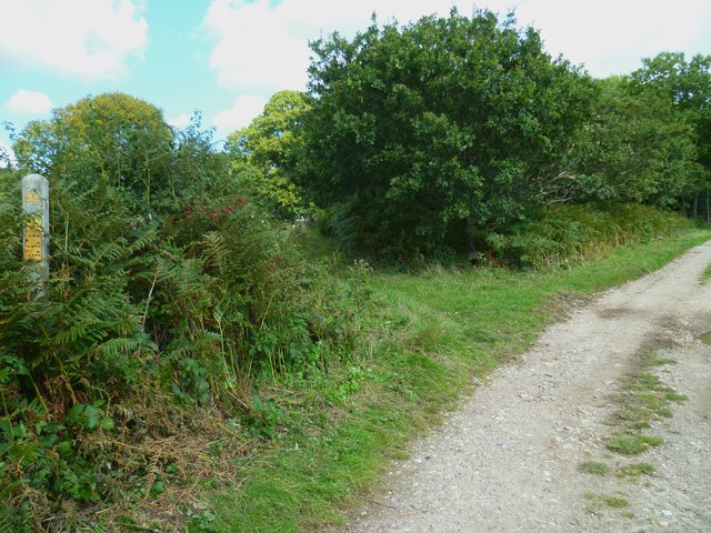
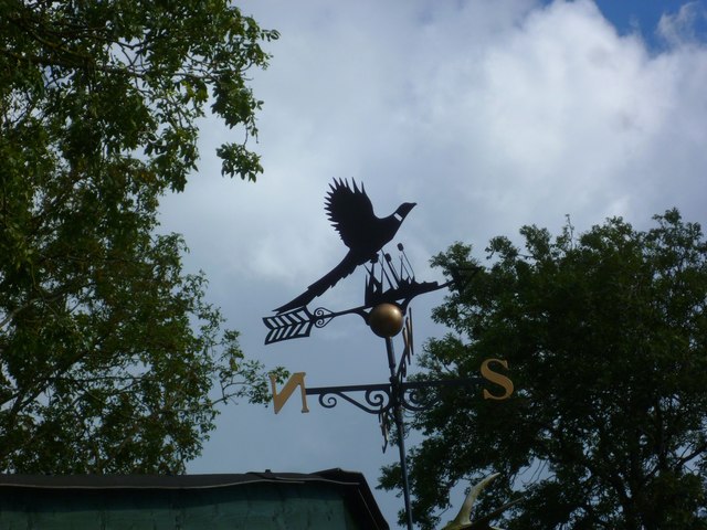
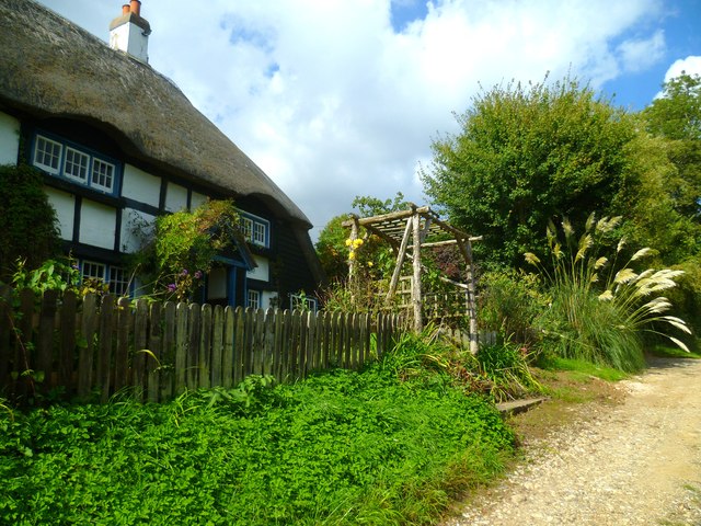
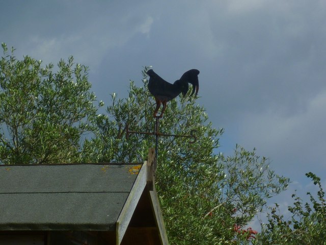
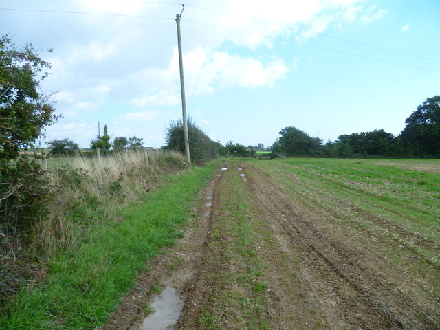
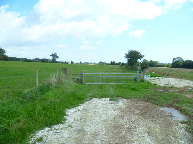
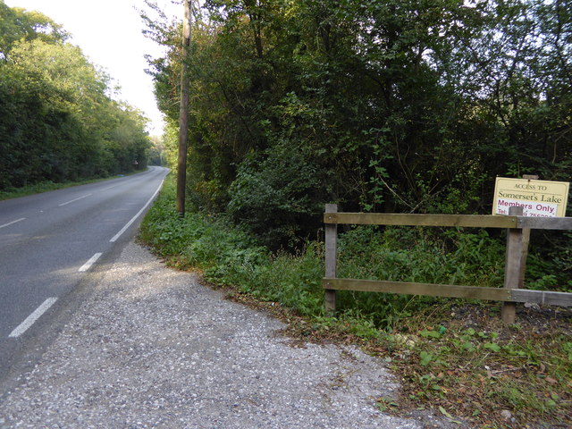
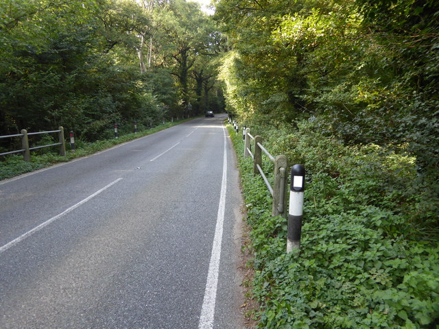
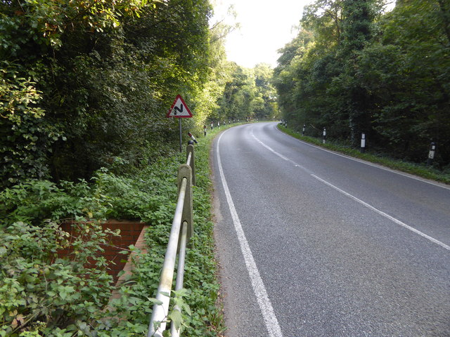
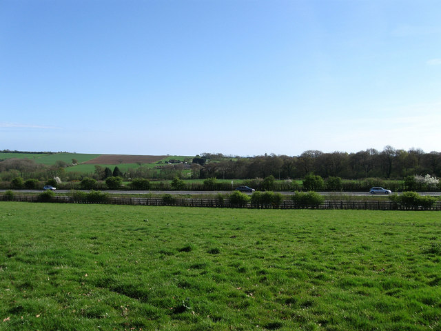
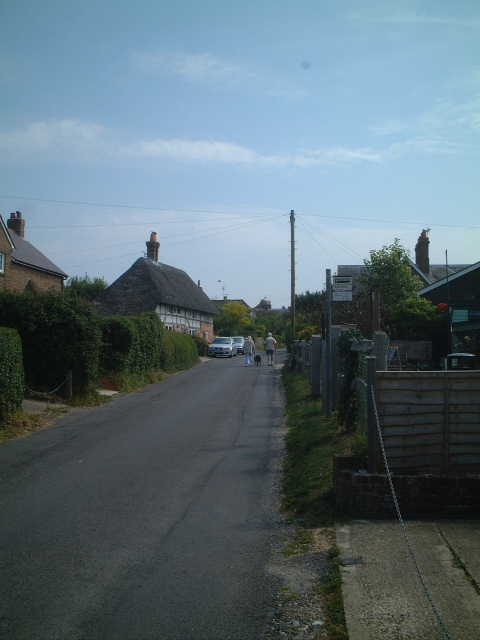
Patching Pond Images

Images are sourced within 2km of 50.840073/-0.45578379 or Grid Reference TQ0805. Thanks to Geograph Open Source API. All images are credited.

Footpath junction with Grub Ride
Weatherbird by bridleway What sort of bird is it?
Weatherbird by bridleway
What sort of bird is it?
Bridleway passes Keepers Cottage See also <a title="https://www.geograph.org.uk/photo/3535503" href="https://www.geograph.org.uk/photo/3535503">Link</a>.
Bridleway passes Keepers Cottage
See also Link.
Weathercock by bridleway
Path east to bridleway It's a moot point as to which side of the hedge is the path.
Path east to bridleway
It's a moot point as to which side of the hedge is the path.
Field gate and stile east of Clapham This was taken looking back the way I had come. I had not used the stile and had been on the wrong side of the hedge.
Field gate and stile east of Clapham
This was taken looking back the way I had come. I had not used the stile and had been on the wrong side of the hedge.
Houses at byway junction on Titnore Lane
Restricted byway goes west from Titnore Lane
Looking north on Titnore Lane
Titnore Lane looking north from small bridge
Titnore Lane looking south from small bridge
Looking westwards towards Worthing Lodge
Entrance to Castle Goring Mews
The Eleven Acres/The Lag The name of the fields according to Goring's 1839 tithe map that have been merged to form a larger unit. The Eleven Acres was straight ahad whilst The Lag was to the north adjacent to <a href="https://www.geograph.org.uk/photo/5498810">TQ1004 : Pond, North Barn Farm</a>. Highdown Copse is in the distance.
The Eleven Acres/The Lag
The name of the fields according to Goring's 1839 tithe map that have been merged to form a larger unit. The Eleven Acres was straight ahad whilst The Lag was to the north adjacent to TQ1004 : Pond, North Barn Farm. Highdown Copse is in the distance.
Pond, North Barn Farm Of some antiquity though little water at this point in time. Beyond is Street's Copse.
Pond, North Barn Farm
Of some antiquity though little water at this point in time. Beyond is Street's Copse.
Hightiten Barn An 18th century flint barn on the lower eastern slopes of Highdown Hill that is still used for agricultural purposes. It does appear on modern maps as North Barn Farm though historically North Barn was to the south on the current A259 and is now the Swallows Return public house.
Hightiten Barn
An 18th century flint barn on the lower eastern slopes of Highdown Hill that is still used for agricultural purposes. It does appear on modern maps as North Barn Farm though historically North Barn was to the south on the current A259 and is now the Swallows Return public house.
The Hurst Field The name of the field according to Goring's 1839 tithe map that is bounded by Street's Copse to the north, Titnore Lane to the east and <a href="https://www.geograph.org.uk/photo/5498821">TQ1004 : Six Acres</a> to the south beyond the drive to <a href="https://www.geograph.org.uk/photo/5498814">TQ1004 : Hightiten Barn</a>.
The Hurst Field
The name of the field according to Goring's 1839 tithe map that is bounded by Street's Copse to the north, Titnore Lane to the east and TQ1004 : Six Acres to the south beyond the drive to TQ1004 : Hightiten Barn.
Cottage on Titnore Way, West Durrington
Show me another place!

Patching Pond is located at Grid Ref: TQ0805 (Lat: 50.840073, Lng: -0.45578379)

Administrative County: West Sussex

District: Arun

Police Authority: Sussex

What 3 Words

///turntable.squeaks.colonies. Near Goring-by-Sea, West Sussex

Related Wikis

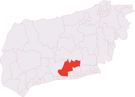
Angmering & Findon (electoral division)

Angmering & Findon is an electoral division of West Sussex in the United Kingdom and returns one member to sit on West Sussex County Council. The current...

Phun City

Phun City was a rock festival held at Ecclesden Common near Worthing, England, from 24 July to 26 July 1970. Excluding the one-day free concerts in London...

Patching

Patching is a small village and civil parish that lies amid the fields and woods of the southern slopes of the South Downs in the National Park in the...

Clapham, West Sussex

Clapham is a rural village and civil parish in the Arun District of West Sussex, England. It lies on varying downslopes and escarpment of the South Downs...

Nearby Amenities

Located within 500m of 50.840073,-0.45578379
Motorway Junction
Lat/Long: 50.8388363/-0.4602195
Post Box
Brand: Royal Mail
Brand Wikidata: Q638098
Brand Wikipedia: en:Royal Mail
Collection Plate: CP1
Collection Times: Mo-Fr 17:15; Sa 11:15
Operator: Royal Mail
Operator Wikidata: Q638098
Post Box Type: wall
Ref: BN13 1782
Royal Cypher: GVIR
Royal Cypher Wikidata: Q33102169
Lat/Long: 50.8402654/-0.4593053
Post Box
Brand: Royal Mail
Brand Wikidata: Q638098
Brand Wikipedia: en:Royal Mail
Collection Plate: CP7D
Collection Times: Mo-Fr 09:00; Sa 07:00
Operator: Royal Mail
Operator Wikidata: Q638098
Post Box Type: lamp
Ref: BN13 1784D
Royal Cypher: EIIR
Royal Cypher Wikidata: Q33102113
Lat/Long: 50.8413773/-0.451312
Bus Stop
The World's End
Naptan AtcoCode: 4400LH0189
Naptan Bearing: SE
Naptan CommonName: The World's End
Naptan Indicator: o/s The World's End
Naptan Landmark: The World's End
Naptan NaptanCode: wsxdajgp
Naptan Street: Arundel Road
Naptan Verified: no
Source: naptan_import
Lat/Long: 50.8398503/-0.4581857
Bus Stop
The World's End
Naptan AtcoCode: 4400LH0190
Naptan Bearing: NW
Naptan CommonName: The World's End
Naptan Indicator: opp The World's End
Naptan Landmark: The World's End
Naptan NaptanCode: wsxdajgt
Naptan Street: Arundel Road
Naptan Verified: no
Source: naptan_import
Lat/Long: 50.839521/-0.4577705
Bus Stop
Clapham Common
Bench: no
Bin: no
Naptan AtcoCode: 4400LH0191
Naptan Bearing: S
Naptan CommonName: Clapham Common
Naptan Indicator: adj
Naptan Landmark: Clapham Common
Naptan NaptanCode: wsxdajgw
Naptan Street: Longfurlong
Naptan Verified: no
Shelter: no
Source: naptan_import
Lat/Long: 50.8413437/-0.4514323
Bus Stop
Clapham Common
Bus: yes
Naptan AtcoCode: 4400LH0192
Naptan Bearing: N
Naptan CommonName: Clapham Common
Naptan Indicator: opp
Naptan Landmark: Clapham Common
Naptan NaptanCode: wsxdajma
Naptan Street: Longfurlong
Naptan Verified: no
Public Transport: platform
Source: naptan_import
Lat/Long: 50.8417827/-0.4513763
Bus Stop
Titnore Lane North
Naptan AtcoCode: 4400LH0352
Naptan Bearing: E
Naptan CommonName: Titnore Lane North
Naptan Indicator: Long Furlong
Naptan Landmark: A280
Naptan NaptanCode: wsxdatdt
Naptan Street: A27 slip road
Naptan Verified: no
Source: naptan_import
Lat/Long: 50.8394224/-0.4496495
Bus Stop
Titnore Lane North
Naptan AtcoCode: 4400LH0357
Naptan Bearing: SW
Naptan CommonName: Titnore Lane North
Naptan Indicator: Titnore Lane
Naptan Landmark: A280
Naptan NaptanCode: wsxdatgm
Naptan Street: A27 slip road
Naptan Verified: no
Source: naptan_import
Lat/Long: 50.8385209/-0.4501623
Barrier: stile
Lat/Long: 50.8417774/-0.4513814
Travis Perkins
Addr City: Worthing
Addr Postcode: BN13 3UR
Addr Street: Clapham Common
Addr Suburb: Clapham
Brand: Travis Perkins
Brand Wikidata: Q2450664
Shop: building_materials
Website: https://www.travisperkins.co.uk/branch-locator/0132
Lat/Long: 50.8419532/-0.4498992
The data included in this document is from www.openstreetmap.org. The data is made available under ODbL.

Have you been to Patching Pond?

Leave your review of Patching Pond below (or comments, questions and feedback).