Carp Lake
Lake, Pool, Pond, Freshwater Marsh in Surrey Waverley
England
Carp Lake
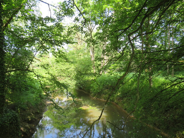
Carp Lake, located in Surrey, is a serene freshwater body encompassing an area of approximately 10 acres. This picturesque lake is nestled amidst lush greenery and is known for its natural beauty, attracting visitors from near and far.
The lake is well-maintained and offers a variety of recreational activities for nature enthusiasts. It provides an ideal setting for fishing, with a diverse range of fish species inhabiting its waters, including carp, as the name suggests. Anglers can indulge in a peaceful and relaxing fishing experience, surrounded by the tranquil ambience of the lake.
Carp Lake also serves as a popular spot for birdwatching, as it is home to a variety of avian species. Visitors can often spot ducks, geese, herons, and other waterfowl gracefully gliding across the lake's surface or nesting in the surrounding reeds and marshes. This makes it a paradise for bird lovers and a great opportunity for photographers to capture stunning images of wildlife.
The lake is accompanied by a well-maintained pool and pond area, providing additional recreational facilities for families and individuals. The pool offers a refreshing escape during hot summer days, while the pond is an ideal spot for children to explore and learn about aquatic life.
Adjacent to the lake, a freshwater marsh further enhances the diversity of the area's ecosystem. This marshland provides a habitat for various plant and animal species, contributing to the overall ecological balance of the region.
Overall, Carp Lake in Surrey is a haven for nature enthusiasts, offering a harmonious blend of natural beauty, recreational activities, and an opportunity to appreciate the wonders of freshwater ecosystems.
If you have any feedback on the listing, please let us know in the comments section below.
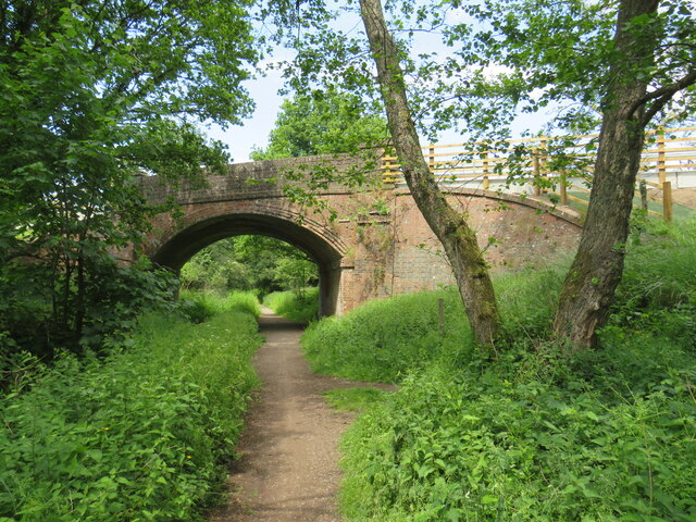
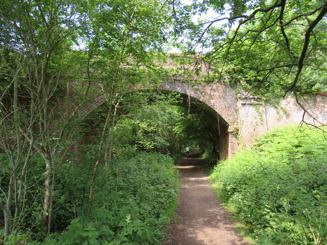
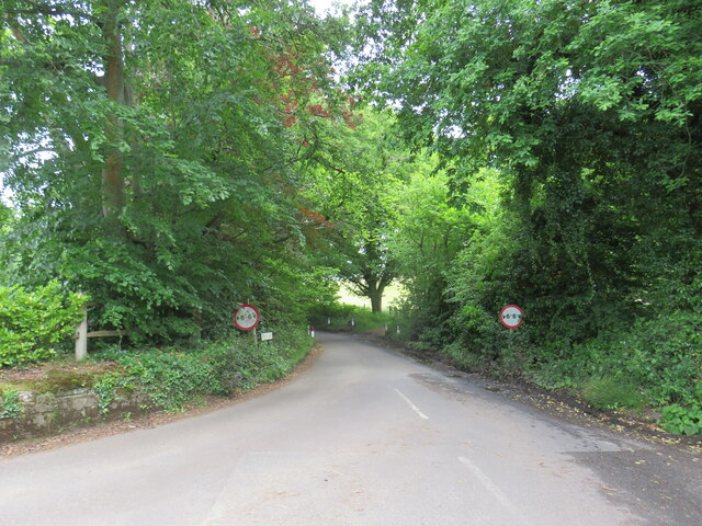
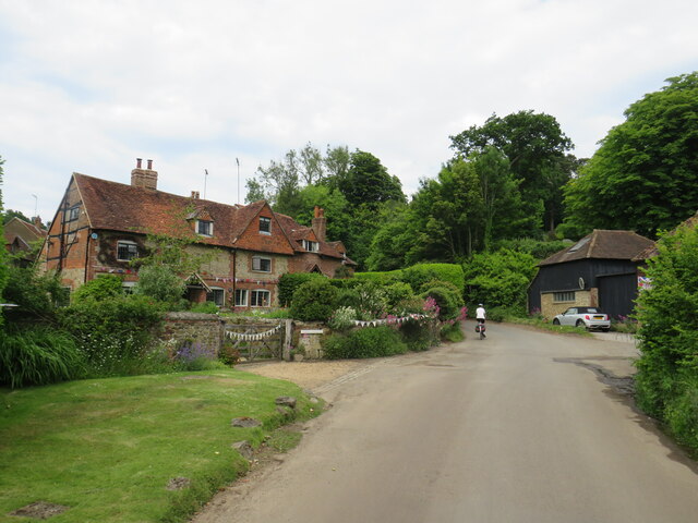
Carp Lake Images
Images are sourced within 2km of 51.168037/-0.50571825 or Grid Reference TQ0442. Thanks to Geograph Open Source API. All images are credited.


Carp Lake is located at Grid Ref: TQ0442 (Lat: 51.168037, Lng: -0.50571825)
Administrative County: Surrey
District: Waverley
Police Authority: Surrey
What 3 Words
///blossom.trains.entrusted. Near Cranleigh, Surrey
Nearby Locations
Related Wikis

Cucknell's Wood
Cucknell's Wood is a 11-hectare (27-acre) nature reserve south-east of Shamley Green in Surrey. It is managed by the Surrey Wildlife Trust.Birds in this...

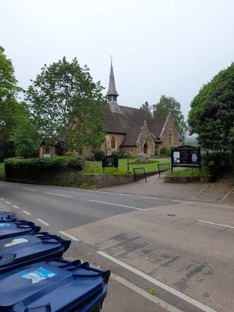
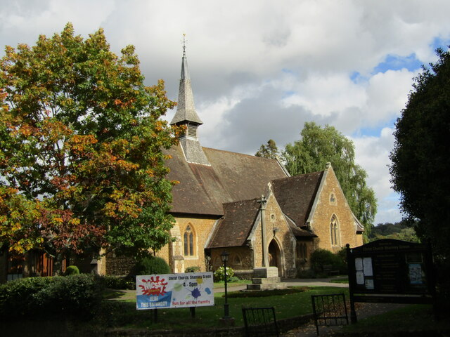
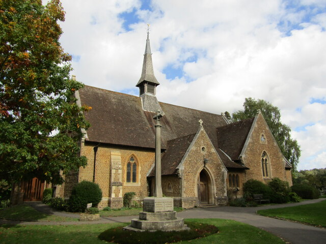
Christ Church, Shamley Green
Christ Church is a Church of England parish church in Shamley Green, Surrey, England. It was constructed in 1863 as a chapel of ease and became a parish...

Cranleigh School
Cranleigh School is a public school (English fee-charging boarding and day school) in the village of Cranleigh, Surrey. == History == It was opened on...
Winterfold Forest
Winterfold Forest is a wooded area of the broadest plateau of the western Greensand Ridge in Surrey, England. It blends seamlessly into the Hurt Wood...
Glebelands School
Glebelands School is a county-funded and charity-supported secondary school in Cranleigh, Surrey, England. It is co-educational and takes students aged...

Cranleigh railway station
Cranleigh was a railway station on the Cranleigh Line between Guildford and Horsham. It served the village of Cranleigh, Surrey in southern England....

Hurt Wood Mill, Ewhurst
Hurt Wood Mill is a grade II* listed tower mill at Ewhurst, Surrey, England, which has been converted to residential use. == History == Hurt Wood Mill...

Surrey Hills AONB
The Surrey Hills is a 422 km2 (163 sq mi) Area of Outstanding Natural Beauty (AONB) in Surrey, England, which principally covers parts of the North Downs...
Nearby Amenities
Located within 500m of 51.168037,-0.50571825Have you been to Carp Lake?
Leave your review of Carp Lake below (or comments, questions and feedback).