Long Copse
Wood, Forest in Surrey Waverley
England
Long Copse
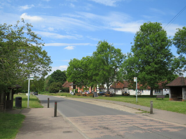
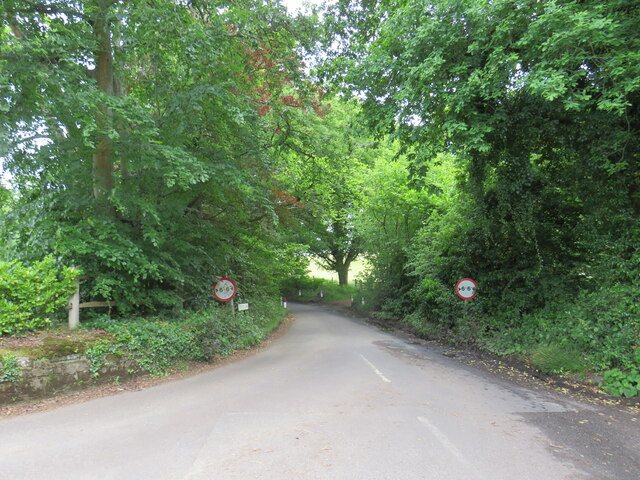
Long Copse is a picturesque woodland located in the county of Surrey, England. Covering an area of approximately 200 acres, it is a popular destination for nature enthusiasts and outdoor adventurers alike. The copse is situated near the village of Shere, surrounded by rolling hills and charming countryside.
The woodland is predominantly made up of a mix of broadleaf trees, including oak, beech, and birch, which create a diverse and vibrant ecosystem. The dense canopy provides ample shade during the summer months and bursts into a riot of colors during the autumn season, attracting visitors from far and wide.
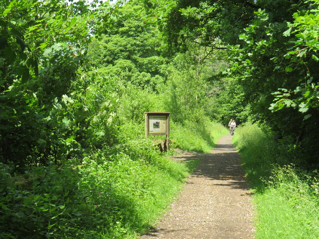
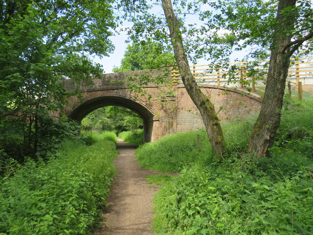
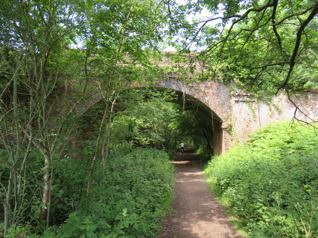
Long Copse offers a network of well-maintained footpaths and trails, allowing visitors to explore its natural beauty at their own pace. There are various walking routes available, catering to different difficulty levels and interests. Along these paths, visitors can encounter an array of flora and fauna, including wildflowers, birds, and occasional deer sightings.
The copse also features a small stream that meanders through its heart, adding to its tranquil and serene atmosphere. This stream provides a habitat for various aquatic creatures and adds to the overall charm of the woodland.
Long Copse is managed by the local council, ensuring its preservation and conservation for future generations. It offers a peaceful and idyllic escape from the hustle and bustle of everyday life, making it a perfect destination for nature lovers and those seeking solace in the beauty of the natural world.
If you have any feedback on the listing, please let us know in the comments section below.
Long Copse Images
Images are sourced within 2km of 51.1752/-0.50826202 or Grid Reference TQ0442. Thanks to Geograph Open Source API. All images are credited.


Long Copse is located at Grid Ref: TQ0442 (Lat: 51.1752, Lng: -0.50826202)
Administrative County: Surrey
District: Waverley
Police Authority: Surrey
What 3 Words
///sampling.tensions.steadier. Near Cranleigh, Surrey
Nearby Locations
Related Wikis

Cucknell's Wood
Cucknell's Wood is a 11-hectare (27-acre) nature reserve south-east of Shamley Green in Surrey. It is managed by the Surrey Wildlife Trust.Birds in this...

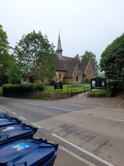
Christ Church, Shamley Green
Christ Church is a Church of England parish church in Shamley Green, Surrey, England. It was constructed in 1863 as a chapel of ease and became a parish...

Winterfold Forest
Winterfold Forest is a wooded area of the broadest plateau of the western Greensand Ridge in Surrey, England. It blends seamlessly into the Hurt Wood...

Surrey Hills AONB
The Surrey Hills is a 422 km2 (163 sq mi) Area of Outstanding Natural Beauty (AONB) in Surrey, England, which principally covers parts of the North Downs...
St John's Seminary, Wonersh
St John's Seminary was a Roman Catholic seminary located at Wonersh near Guildford in Surrey, in the Diocese of Arundel and Brighton, United Kingdom. St...
Cranleigh School
Cranleigh School is a public school (English fee-charging boarding and day school) in the village of Cranleigh, Surrey. == History == It was opened on...

Farley Green, Surrey
Farley Green is a small hamlet of Albury in the Greensand Ridge where it forms the south of the Surrey Hills AONB, to the south east of Guildford. �...
Blackheath Common
Blackheath Common is an area of 250 acres (100 ha) of heathland in Surrey, England, near the village of Albury in the borough of Waverley. It is part of...
Nearby Amenities
Located within 500m of 51.1752,-0.50826202Have you been to Long Copse?
Leave your review of Long Copse below (or comments, questions and feedback).