South Copse
Wood, Forest in Surrey Waverley
England
South Copse
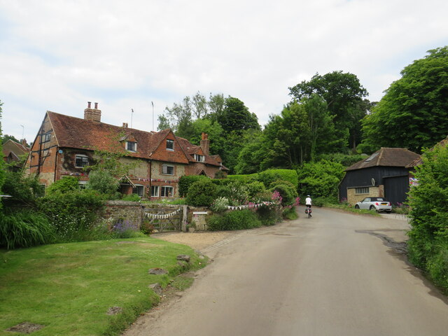
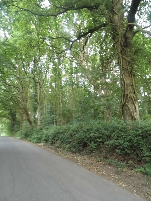
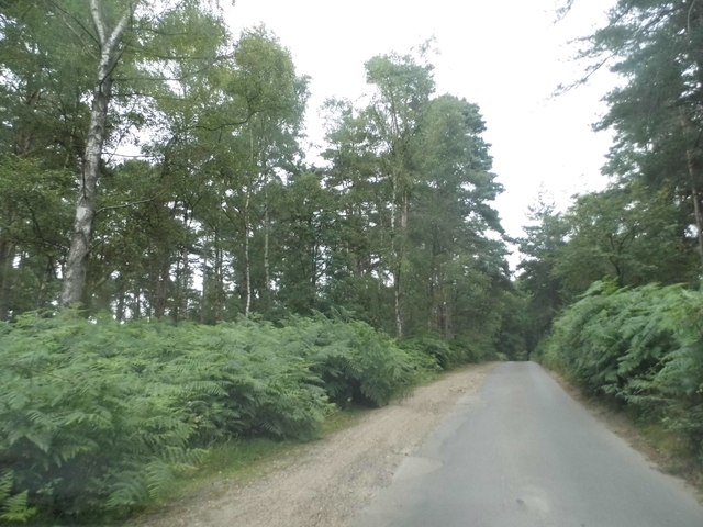
South Copse is a picturesque woodland located in Surrey, England. It is part of the larger Surrey Hills Area of Outstanding Natural Beauty, renowned for its stunning landscapes and rich biodiversity. Covering an area of approximately 100 acres, South Copse is a haven for nature enthusiasts and outdoor lovers alike.
The woodland is primarily composed of native broadleaf trees, including oak, beech, and birch, which create a dense and vibrant canopy that provides shade and shelter for a variety of woodland creatures. The forest floor is adorned with a diverse array of wildflowers, ferns, and mosses, adding to the area's natural beauty.
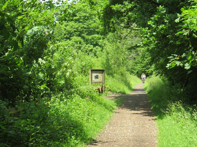
South Copse is intersected by a network of well-maintained walking trails, allowing visitors to explore the woodland and discover its hidden treasures. These trails lead to scenic viewpoints, babbling brooks, and tranquil picnic spots, providing ample opportunities for relaxation and contemplation.
The woodland is also home to a wide range of wildlife, including deer, foxes, badgers, and a rich variety of bird species. Birdwatchers will delight in the chance to spot rare species such as the elusive nightjar or the colorful kingfisher.
As a designated Site of Special Scientific Interest, South Copse is actively managed to preserve its ecological integrity. Conservation efforts aim to maintain the woodland's natural habitats, protect its ancient trees, and encourage the growth of native flora and fauna.
Overall, South Copse is a natural gem in Surrey, offering visitors a chance to immerse themselves in the beauty of a traditional English woodland while promoting environmental conservation and appreciation.
If you have any feedback on the listing, please let us know in the comments section below.
South Copse Images
Images are sourced within 2km of 51.170733/-0.50139701 or Grid Reference TQ0442. Thanks to Geograph Open Source API. All images are credited.


South Copse is located at Grid Ref: TQ0442 (Lat: 51.170733, Lng: -0.50139701)
Administrative County: Surrey
District: Waverley
Police Authority: Surrey
What 3 Words
///devoured.moguls.banquets. Near Cranleigh, Surrey
Nearby Locations
Related Wikis

Cucknell's Wood
Cucknell's Wood is a 11-hectare (27-acre) nature reserve south-east of Shamley Green in Surrey. It is managed by the Surrey Wildlife Trust.Birds in this...

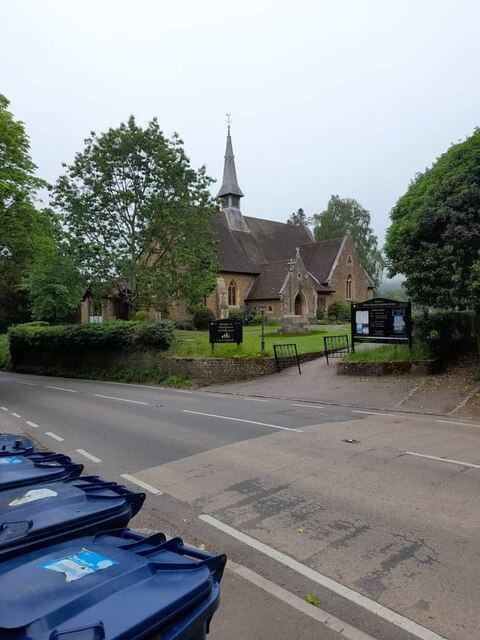
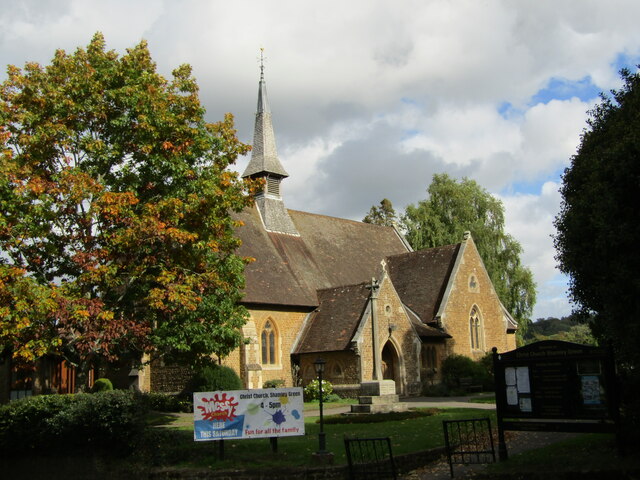
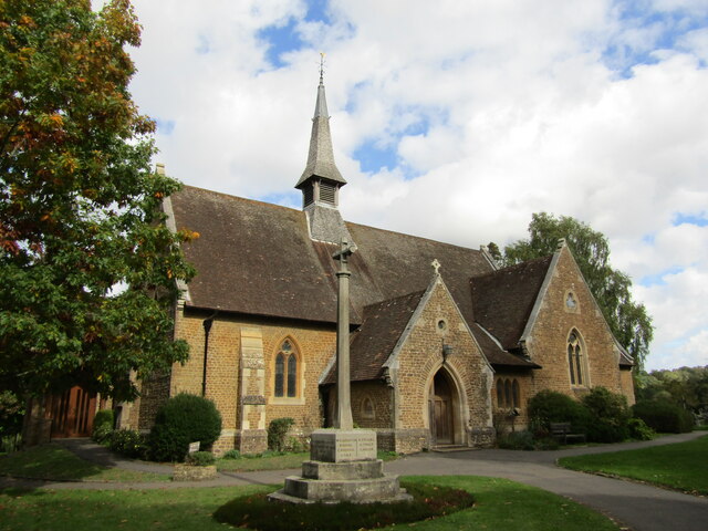
Christ Church, Shamley Green
Christ Church is a Church of England parish church in Shamley Green, Surrey, England. It was constructed in 1863 as a chapel of ease and became a parish...

Cranleigh School
Cranleigh School is a public school (English fee-charging boarding and day school) in the village of Cranleigh, Surrey. == History == It was opened on...
Winterfold Forest
Winterfold Forest is a wooded area of the broadest plateau of the western Greensand Ridge in Surrey, England. It blends seamlessly into the Hurt Wood...

Hurt Wood Mill, Ewhurst
Hurt Wood Mill is a grade II* listed tower mill at Ewhurst, Surrey, England, which has been converted to residential use. == History == Hurt Wood Mill...
Glebelands School
Glebelands School is a county-funded and charity-supported secondary school in Cranleigh, Surrey, England. It is co-educational and takes students aged...

Surrey Hills AONB
The Surrey Hills is a 422 km2 (163 sq mi) Area of Outstanding Natural Beauty (AONB) in Surrey, England, which principally covers parts of the North Downs...

Farley Green, Surrey
Farley Green is a small hamlet of Albury in the Greensand Ridge where it forms the south of the Surrey Hills AONB, to the south east of Guildford. �...
Nearby Amenities
Located within 500m of 51.170733,-0.50139701Have you been to South Copse?
Leave your review of South Copse below (or comments, questions and feedback).