Six Acre Pond

Lake, Pool, Pond, Freshwater Marsh in Surrey Waverley

England

Six Acre Pond
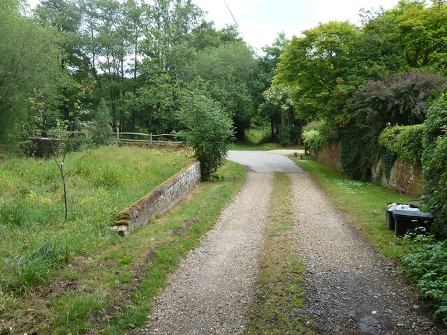
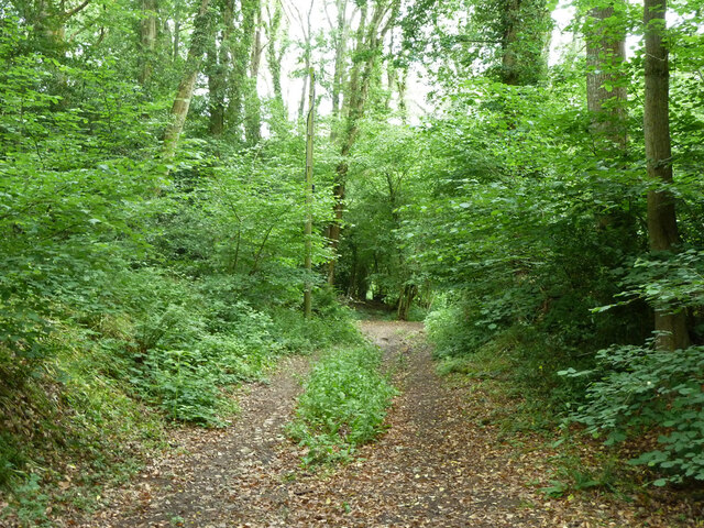
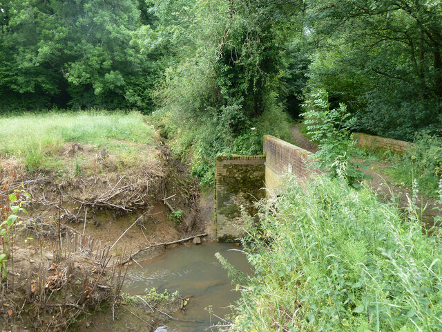
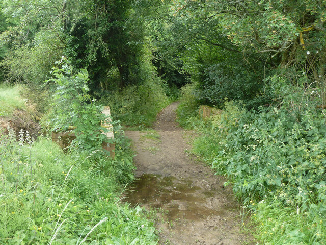
Bridleway 285 Dunsfold by The Mill House The overgrown mill pond is on the left.
Bridleway 285 Dunsfold by The Mill House Credit: Robin Webster

Six Acre Pond is a picturesque freshwater body located in Surrey, England. It is classified as a pond due to its smaller size, covering an area of approximately six acres. The pond is surrounded by lush greenery, creating a serene and tranquil environment for visitors.

The water in Six Acre Pond is sourced from natural springs, ensuring its freshness and clarity. It is known for its crystal-clear waters, which are home to a diverse array of aquatic life. Visitors can spot various species of fish, including carp, roach, and perch, thriving in the pond. The presence of these fish makes Six Acre Pond a popular destination for anglers, who come in search of a rewarding fishing experience.

Surrounding the pond is a rich ecosystem that includes a freshwater marsh. This marshland offers a natural habitat for a variety of plants and animals, attracting birdwatchers and nature enthusiasts. The area is especially vibrant during the spring and summer months when the marsh is adorned with blooming wildflowers and buzzing with the activity of birds and insects.

Six Acre Pond also offers recreational activities for visitors. A designated swimming area allows people to enjoy a refreshing dip in the cool waters during the warmer months. Additionally, the pond is surrounded by walking trails, allowing visitors to explore the natural beauty of the area and observe the wildlife.

Overall, Six Acre Pond is a hidden gem in Surrey, offering a peaceful retreat for those seeking to connect with nature. With its diverse wildlife, pristine waters, and scenic surroundings, it provides an ideal destination for fishing, birdwatching, or simply enjoying a day of relaxation in a beautiful natural setting.

If you have any feedback on the listing, please let us know in the comments section below.

Six Acre Pond Images

Images are sourced within 2km of 51.12452/-0.56964165 or Grid Reference TQ0037. Thanks to Geograph Open Source API. All images are credited.
Bridleway 285 Dunsfold by The Mill House The overgrown mill pond is on the left.
Bridleway 285 Dunsfold by The Mill House
The overgrown mill pond is on the left.
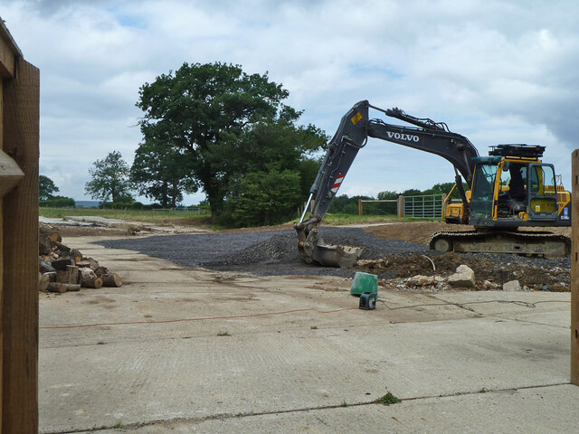
Digger in yard, Field Place Farm It is making good the site of a former farm building.
Digger in yard, Field Place Farm
It is making good the site of a former farm building.
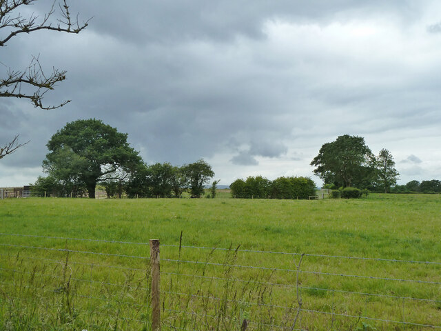
Field west of Hook House Lane
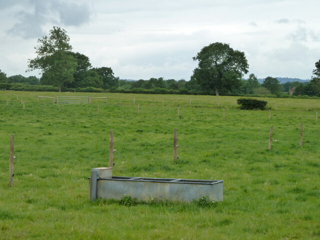
Fields west of Hook House Lane with water trough The nearer posts seem to have insulators but no electric fence wires.
Fields west of Hook House Lane with water trough
The nearer posts seem to have insulators but no electric fence wires.
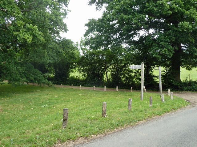
Private drive leading to Pear Tree Green So says the large signpost, but the small one says public footpath. It is footpath 204 Dunsfold, a way towards Breakneck Hill.
Private drive leading to Pear Tree Green
So says the large signpost, but the small one says public footpath. It is footpath 204 Dunsfold, a way towards Breakneck Hill.
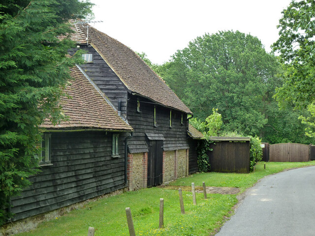
Barns at Red Leaf Farm A non-farming farm now.
Barns at Red Leaf Farm
A non-farming farm now.
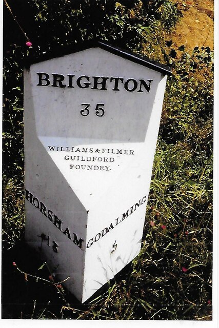
Old Milestone, was at Park Hatch, B2130, Dunsfold Road The milestone was located opposite the junction with Dunsfold Common Road, on the East side of the road on the verge beside the drive to the house. Parish of Dunsfold (Waverley district). Cast iron post, Guildford iron casting design, erected by Godalming & Painshill turnpike trust in the 19th century.

Inscription read:-  HORSHAM / 13  ::  GODALMING / 5  ::  BRIGHTON / 35

This image was taken before 2003 when the milestone was smashed by a flail and the remains later totally removed.

Milestone Society National ID: SY_HOGO13
Old Milestone, was at Park Hatch, B2130, Dunsfold Road
The milestone was located opposite the junction with Dunsfold Common Road, on the East side of the road on the verge beside the drive to the house. Parish of Dunsfold (Waverley district). Cast iron post, Guildford iron casting design, erected by Godalming & Painshill turnpike trust in the 19th century. Inscription read:- HORSHAM / 13 :: GODALMING / 5 :: BRIGHTON / 35 This image was taken before 2003 when the milestone was smashed by a flail and the remains later totally removed. Milestone Society National ID: SY_HOGO13
Oak Tree Lane, Dunsfold Along the north side of the common.
Oak Tree Lane, Dunsfold
Along the north side of the common.
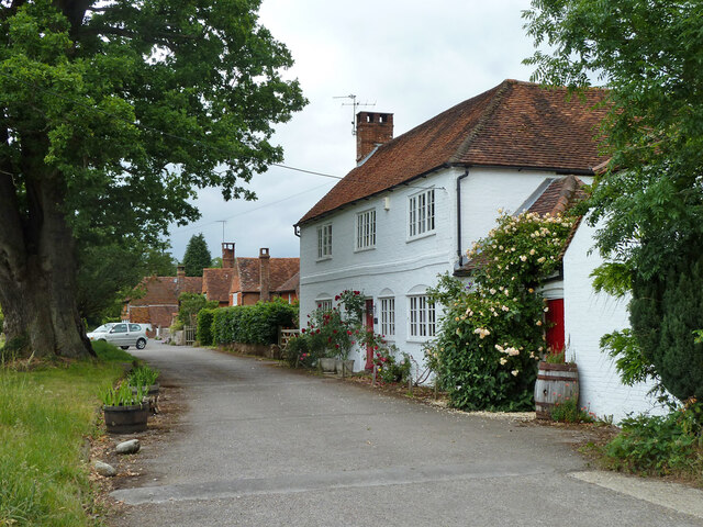
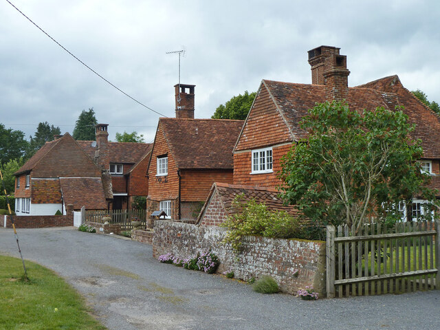
Houses on Oak Tree Lane, Dunsfold Oak Tree Cottage is the near house, Pond Cottage the far. Both are grade II listed buildings.
Houses on Oak Tree Lane, Dunsfold
Oak Tree Cottage is the near house, Pond Cottage the far. Both are grade II listed buildings.
Bridleway 285 Dunsfold Heading west towards Chiddingfold Road.
Bridleway 285 Dunsfold
Heading west towards Chiddingfold Road.
River Lox by bridleway bridge The mill stream from Dunsfold Mill (near) rejoins the main river here.
River Lox by bridleway bridge
The mill stream from Dunsfold Mill (near) rejoins the main river here.
Bridge over River Lox Bridleway 285 Dunsfold crosses.
Bridge over River Lox
Bridleway 285 Dunsfold crosses.
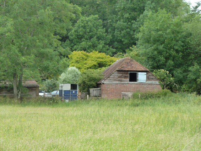
Barn at The Mill House
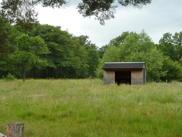
Animal shelter near former Dunsfold Mill Not in residence currently.
Animal shelter near former Dunsfold Mill
Not in residence currently.
Hedgerow trees, Dunsfold
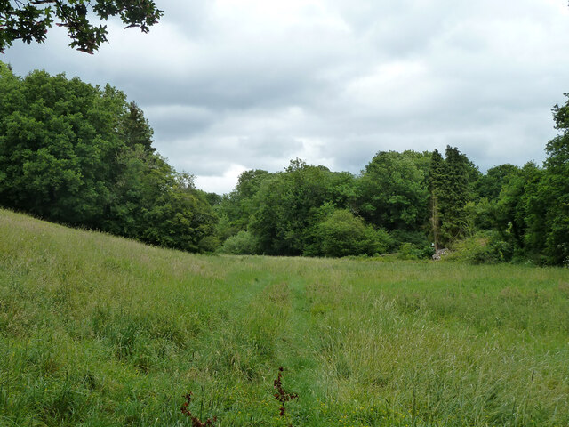
Valley north of Hook House Lane
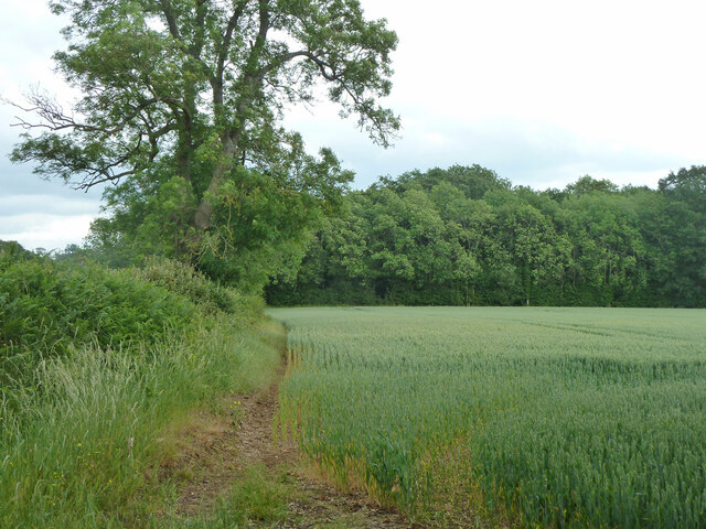
Hedge and field east of Hook House Lane
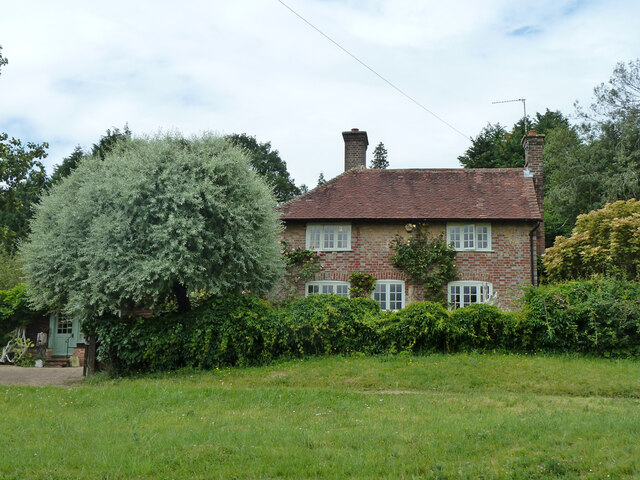
Raswell Cottage, Loxhill Fronted by a very small green on the B2130, Godalming Road.
Raswell Cottage, Loxhill
Fronted by a very small green on the B2130, Godalming Road.
Show me another place!

Six Acre Pond is located at Grid Ref: TQ0037 (Lat: 51.12452, Lng: -0.56964165)

Administrative County: Surrey

District: Waverley

Police Authority: Surrey

What 3 Words

///supple.calculating.headrest. Near Chiddingfold, Surrey

Related Wikis

Dunsfold

Dunsfold is a village in the borough of Waverley, Surrey, England, 8.7 miles (14.0 kilometres) south of Guildford. It lies in the Weald and reaches in...

Hascombe Hill

Hascombe Hill or Hascombe Camp is the site of an Iron Age multivallate hill fort close to the village of Hascombe in Surrey, England. == History == The...

Top Gear test track

The Top Gear test track is used by the BBC automotive television programme Top Gear. It is located at Dunsfold Aerodrome in Surrey, United Kingdom. The...

Dunsfold Aerodrome

Dunsfold Aerodrome (former ICAO code EGTD) is an unlicensed airfield in Surrey, England, near the village of Cranleigh. It extends across land in the villages...

Hascombe

Hascombe is a village and civil parish in Surrey, England. It is around 3 miles (4.8 km) southeast of Godalming in the Borough of Waverley. The settlement...

Fir Tree Copse

Fir Tree Copse is a 6-hectare (15-acre) nature reserve south-east of Dunsfold in Surrey. It is managed by the Surrey Wildlife Trust and is part of the...

Hascombe Court

Hascombe Court is a 172-acre (70 ha) estate in Hascombe, Surrey, best known for its vast garden designed by Gertrude Jekyll. Hascombe Court is listed Grade...

Hydon's Ball

Hydon's Ball is a 179-metre-high (587 ft) hill covering most of Hydon Heath in Hydestile, Surrey, England. == Description == The hill on Hydon Heath, Hydestile...

Nearby Amenities

Located within 500m of 51.12452,-0.56964165
Dunsfold Green
Place: locality
Source: npe
Lat/Long: 51.1217421/-0.5642623
Peartree Green
Place: locality
Lat/Long: 51.1253253/-0.5743119
Barrier: stile
Lat/Long: 51.1243484/-0.5699266
Barrier: stile
Lat/Long: 51.1249828/-0.5702654
Barrier: stile
Lat/Long: 51.1255379/-0.5741585
Barrier: stile
Lat/Long: 51.1267477/-0.5758152
Barrier: stile
Lat/Long: 51.1267833/-0.5733862
Barrier: stile
Lat/Long: 51.1274329/-0.5734078
Addr Housename: Grattons Cottages
Lat/Long: 51.1215077/-0.5655084
Addr Housenumber: 4
Lat/Long: 51.1217983/-0.5655639
Addr Housenumber: 3
Lat/Long: 51.1218679/-0.5656091
Addr Housename: Japonica Cottage
Lat/Long: 51.1221588/-0.5652067
Addr Housenumber: 1
Lat/Long: 51.1221862/-0.5650629
Addr Housenumber: 2
Lat/Long: 51.1225218/-0.5645059
Addr Housenumber: 1
Lat/Long: 51.1226098/-0.5643256
Addr Housename: Elmlea Cottage
Lat/Long: 51.1227268/-0.5640491
Addr Housename: Blueberry Cottage
Lat/Long: 51.1227652/-0.5639925
Addr Housename: King George's Cottages
Lat/Long: 51.1223914/-0.5644937
Addr Housename: Spindleberry Cottage
Lat/Long: 51.1228979/-0.5639663
Addr Housename: Redvers
Lat/Long: 51.1229533/-0.5638514
Addr Housename: The Haven
Lat/Long: 51.1229359/-0.5636359
Addr Housename: Pine Cottage
Lat/Long: 51.1229743/-0.56358
Addr Housename: Frenshams Cottage
Lat/Long: 51.1230413/-0.5634518
Addr Housename: Farleigh Cottage
Addr Housenumber: 1
Lat/Long: 51.1230014/-0.563539
Addr Housename: South View
Lat/Long: 51.1231424/-0.5633081
The data included in this document is from www.openstreetmap.org. The data is made available under ODbL.

Have you been to Six Acre Pond?

Leave your review of Six Acre Pond below (or comments, questions and feedback).