Lay Field

Wood, Forest in Surrey Waverley

England

Lay Field

Bridleway 285 Dunsfold by The Mill House The overgrown mill pond is on the left.
Bridleway 285 Dunsfold by The Mill House Credit: Robin Webster

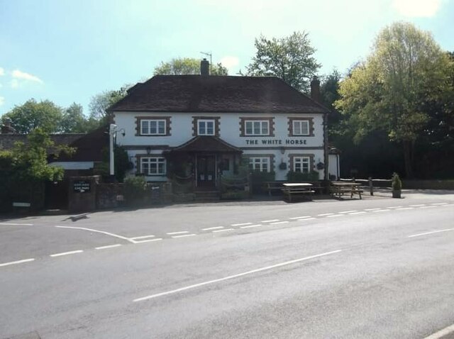
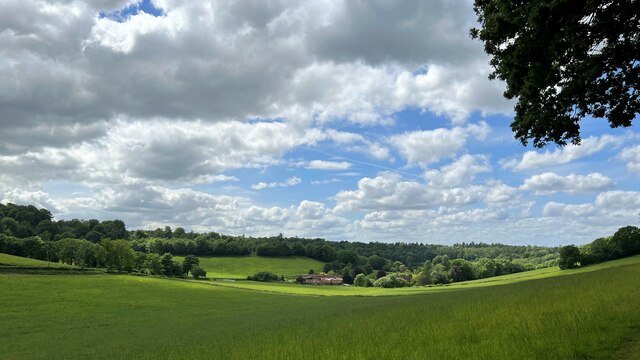
Lay Field, Surrey (Wood, Forest) is a picturesque and serene area located in the county of Surrey, England. Nestled amid lush greenery and stunning landscapes, this woodland and forested region offers a tranquil escape from the hustle and bustle of city life.

Covering a vast expanse of land, Lay Field is home to a diverse range of flora and fauna, making it a haven for nature lovers and enthusiasts. The area is characterized by its dense tree cover, comprising a variety of species including oak, beech, and birch, creating a rich and vibrant ecosystem. The forest floor is adorned with an array of wildflowers and ferns, adding to the area's natural beauty.

Lay Field is also home to a number of walking trails and paths, providing ample opportunities for outdoor activities such as hiking, jogging, and cycling. These trails enable visitors to explore the area's enchanting forests, offering breathtaking views and a chance to spot wildlife in its natural habitat. Birdwatchers will be delighted by the presence of various bird species, including woodpeckers, owls, and thrushes.

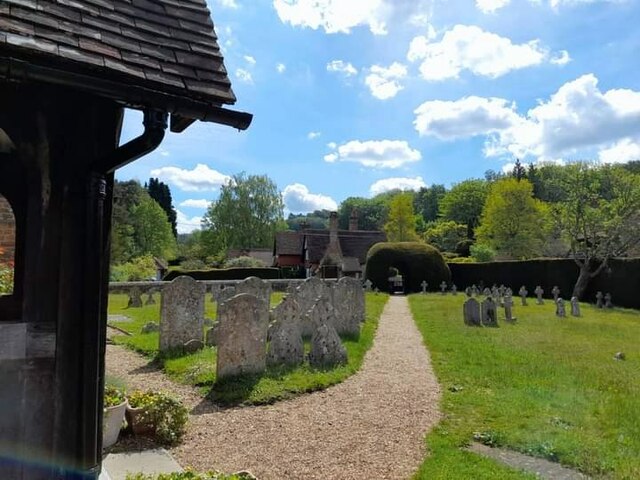
In addition to its natural splendor, Lay Field is also steeped in history. The area has archaeological importance, with ancient artifacts and remains dating back centuries. This adds a sense of intrigue and fascination to the region, attracting history enthusiasts and researchers alike.

Overall, Lay Field, Surrey (Wood, Forest) is a captivating destination that combines natural beauty, outdoor recreational opportunities, and historical significance. Whether it's a leisurely stroll through the woods, a day of birdwatching, or an exploration of its rich history, Lay Field offers a wealth of experiences for visitors to enjoy.

If you have any feedback on the listing, please let us know in the comments section below.

Lay Field Images

Images are sourced within 2km of 51.128682/-0.56578309 or Grid Reference TQ0037. Thanks to Geograph Open Source API. All images are credited.

Bridleway 285 Dunsfold by The Mill House The overgrown mill pond is on the left.
Bridleway 285 Dunsfold by The Mill House
The overgrown mill pond is on the left.
Digger in yard, Field Place Farm It is making good the site of a former farm building.
Digger in yard, Field Place Farm
It is making good the site of a former farm building.
Field west of Hook House Lane
Fields west of Hook House Lane with water trough The nearer posts seem to have insulators but no electric fence wires.
Fields west of Hook House Lane with water trough
The nearer posts seem to have insulators but no electric fence wires.
Private drive leading to Pear Tree Green So says the large signpost, but the small one says public footpath. It is footpath 204 Dunsfold, a way towards Breakneck Hill.
Private drive leading to Pear Tree Green
So says the large signpost, but the small one says public footpath. It is footpath 204 Dunsfold, a way towards Breakneck Hill.
Barns at Red Leaf Farm A non-farming farm now.
Barns at Red Leaf Farm
A non-farming farm now.
The White Horse
The White Horse
St Peter's Church
St Peter's Church
St Peter's Church
St Peter's Church
Old Milestone, was at Park Hatch, B2130, Dunsfold Road The milestone was located opposite the junction with Dunsfold Common Road, on the East side of the road on the verge beside the drive to the house. Parish of Dunsfold (Waverley district). Cast iron post, Guildford iron casting design, erected by Godalming & Painshill turnpike trust in the 19th century.

Inscription read:-  HORSHAM / 13  ::  GODALMING / 5  ::  BRIGHTON / 35

This image was taken before 2003 when the milestone was smashed by a flail and the remains later totally removed.

Milestone Society National ID: SY_HOGO13
Old Milestone, was at Park Hatch, B2130, Dunsfold Road
The milestone was located opposite the junction with Dunsfold Common Road, on the East side of the road on the verge beside the drive to the house. Parish of Dunsfold (Waverley district). Cast iron post, Guildford iron casting design, erected by Godalming & Painshill turnpike trust in the 19th century. Inscription read:- HORSHAM / 13 :: GODALMING / 5 :: BRIGHTON / 35 This image was taken before 2003 when the milestone was smashed by a flail and the remains later totally removed. Milestone Society National ID: SY_HOGO13
Woodland debris - Creek Copse Some of those look like beech mast - but I'm not an expert on seeds and fruit.
Woodland debris - Creek Copse
Some of those look like beech mast - but I'm not an expert on seeds and fruit.
Hascombe Place Farm This is a cross-grid shot. The camera was in the square to the east.
Hascombe Place Farm
This is a cross-grid shot. The camera was in the square to the east.
Oak Tree Lane, Dunsfold Along the north side of the common.
Oak Tree Lane, Dunsfold
Along the north side of the common.
Houses on Oak Tree Lane, Dunsfold Oak Tree Cottage is the near house, Pond Cottage the far. Both are grade II listed buildings.
Houses on Oak Tree Lane, Dunsfold
Oak Tree Cottage is the near house, Pond Cottage the far. Both are grade II listed buildings.
Bridleway 285 Dunsfold Heading west towards Chiddingfold Road.
Bridleway 285 Dunsfold
Heading west towards Chiddingfold Road.
River Lox by bridleway bridge The mill stream from Dunsfold Mill (near) rejoins the main river here.
River Lox by bridleway bridge
The mill stream from Dunsfold Mill (near) rejoins the main river here.
Bridge over River Lox Bridleway 285 Dunsfold crosses.
Bridge over River Lox
Bridleway 285 Dunsfold crosses.
Barn at The Mill House
Show me another place!

Lay Field is located at Grid Ref: TQ0037 (Lat: 51.128682, Lng: -0.56578309)

Administrative County: Surrey

District: Waverley

Police Authority: Surrey

What 3 Words

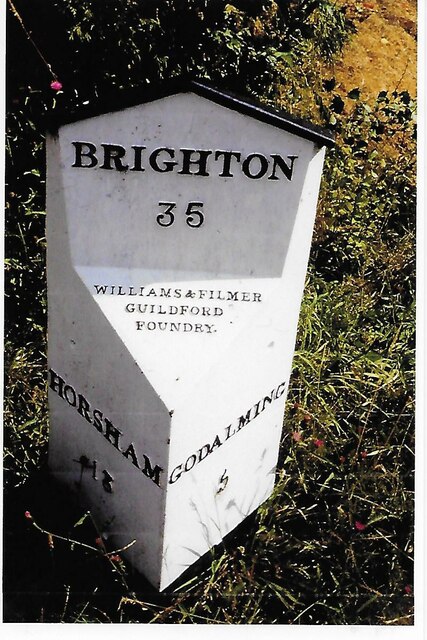
///agenda.landlady.enabling. Near Chiddingfold, Surrey

Related Wikis

Hascombe Hill

Hascombe Hill or Hascombe Camp is the site of an Iron Age multivallate hill fort close to the village of Hascombe in Surrey, England. == History == The...

Dunsfold

Dunsfold is a village in the borough of Waverley, Surrey, England, 8.7 miles (14.0 kilometres) south of Guildford. It lies in the Weald and reaches in...

Top Gear test track

The Top Gear test track is used by the BBC automotive television programme Top Gear. It is located at Dunsfold Aerodrome in Surrey, United Kingdom. The...

Hascombe

Hascombe is a village and civil parish in Surrey, England. It is around 3 miles (4.8 km) southeast of Godalming in the Borough of Waverley. The settlement...

Hascombe Court

Hascombe Court is a 172-acre (70 ha) estate in Hascombe, Surrey, best known for its vast garden designed by Gertrude Jekyll. Hascombe Court is listed Grade...

Dunsfold Aerodrome

Dunsfold Aerodrome (former ICAO code EGTD) is an unlicensed airfield in Surrey, England, near the village of Cranleigh. It extends across land in the villages...

Fir Tree Copse

Fir Tree Copse is a 6-hectare (15-acre) nature reserve south-east of Dunsfold in Surrey. It is managed by the Surrey Wildlife Trust and is part of the...

Hydon's Ball

Hydon's Ball is a 179-metre-high (587 ft) hill covering most of Hydon Heath in Hydestile, Surrey, England. == Description == The hill on Hydon Heath, Hydestile...

Nearby Amenities

Located within 500m of 51.128682,-0.56578309
The data included in this document is from www.openstreetmap.org. The data is made available under ODbL.

Have you been to Lay Field?

Leave your review of Lay Field below (or comments, questions and feedback).