Waldingfield, Great
Settlement in Suffolk Babergh
England
Waldingfield, Great
Waldingfield, Great, Suffolk is a picturesque village situated in the East Anglia region of England. Located in the Babergh district of Suffolk, it lies approximately 3 miles northwest of the market town of Sudbury. With its charming countryside setting and historical significance, Waldingfield is a popular destination for both locals and tourists.
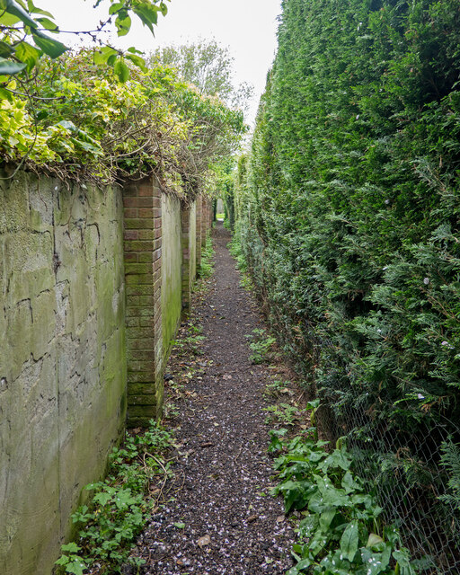
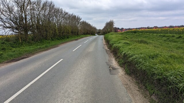
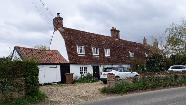
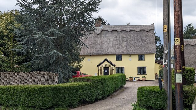
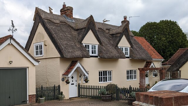
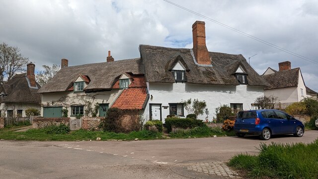
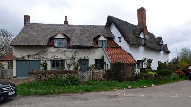
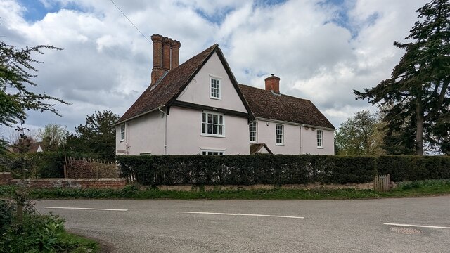
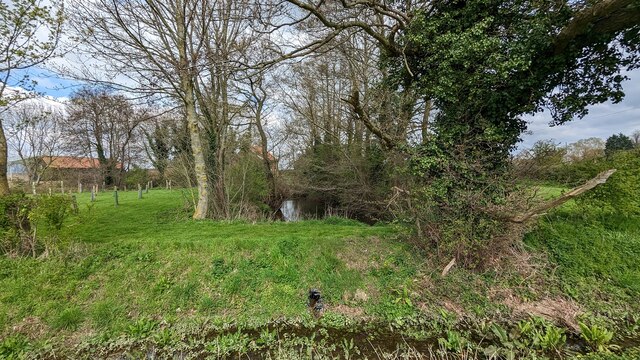
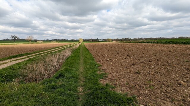
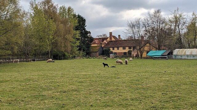
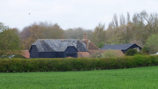
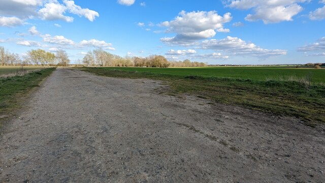
The village is surrounded by rolling hills, lush green fields, and beautiful woodlands, providing a tranquil and idyllic atmosphere. It is home to a close-knit community, with a population of around 1,000 residents. The architecture in Waldingfield reflects its rich history, with a mix of traditional thatched cottages, Georgian houses, and medieval structures.
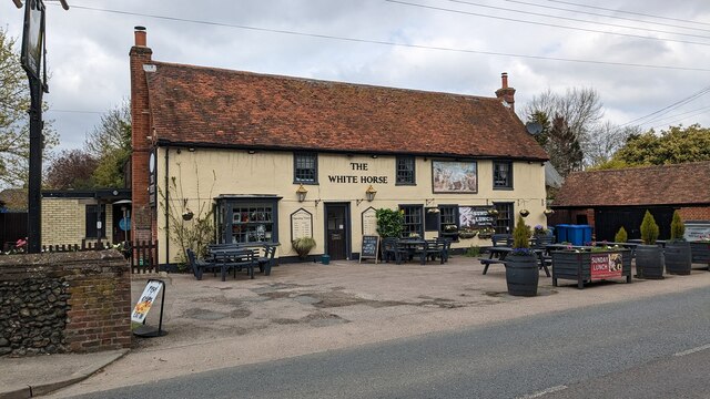
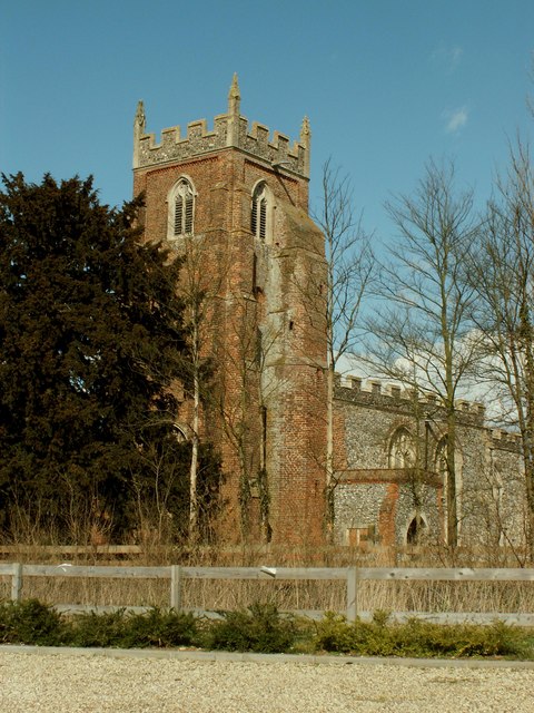
Waldingfield is known for its beautiful parish church, St. Lawrence Church, which dates back to the 14th century. The church showcases stunning architectural features, including a magnificent stained glass window and a remarkable wooden rood screen. The village also has a primary school, a village hall, and a pub that serves as a hub for social gatherings.
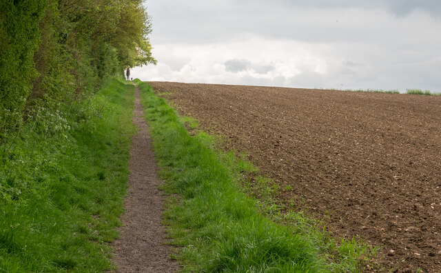
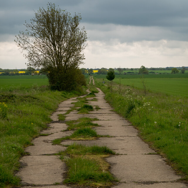
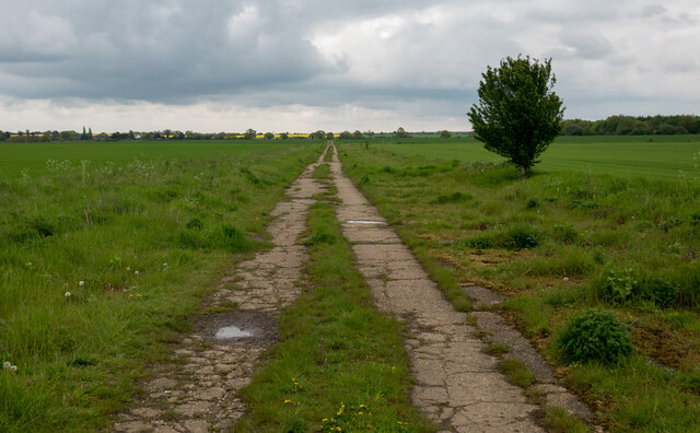
Nature enthusiasts will find plenty to explore in the surrounding area, with numerous walking and cycling trails offering breathtaking views of the Suffolk countryside. The village is also conveniently located near the River Stour, providing opportunities for fishing, boating, and other water-based activities.
Overall, Waldingfield, Great, Suffolk is a charming rural village that offers a peaceful escape from the hustle and bustle of city life. Its natural beauty, rich history, and strong community spirit make it a delightful place to visit or call home.
If you have any feedback on the listing, please let us know in the comments section below.
Waldingfield, Great Images
Images are sourced within 2km of 52.05811/0.775571 or Grid Reference TL9043. Thanks to Geograph Open Source API. All images are credited.

Waldingfield, Great is located at Grid Ref: TL9043 (Lat: 52.05811, Lng: 0.775571)
Administrative County: Suffolk
District: Babergh
Police Authority: Suffolk
What 3 Words
///tripling.shields.healthier. Near Great Waldingfield, Suffolk
Nearby Locations
Related Wikis

Great Waldingfield
Great Waldingfield is a village and civil parish in the Babergh district of Suffolk, England about two miles (3 km) north-east of Sudbury and two miles...

Babergh Hundred
Babergh was a hundred of Suffolk, consisting of 71,882 acres (290.90 km2). Its name survives in that of Babergh District, the local government district...

Chilton Hall
Chilton Hall is a Grade II* listed building in Chilton, Suffolk, England. The current building replaced an important moated medieval house.Of the original...

Acton, Suffolk
Acton is a village and civil parish in the English county of Suffolk. The parish also includes the hamlets of Cuckoo Tye and Newman's Green. == Etymology... ==

St Mary's Church, Chilton
St Mary's Church is a redundant Church of England parish church in the civil parish of Chilton, Suffolk, England. It is a Grade I listed building, and...
Chilton, Suffolk
Chilton is a civil parish on the eastern outskirts of Sudbury in Suffolk, England. Once a normal village, Chilton today consists of scattered clusters...

Little Waldingfield
Little Waldingfield is a village and civil parish in Suffolk, England. Located two miles from its sister village, Great Waldingfield, it is part of the...
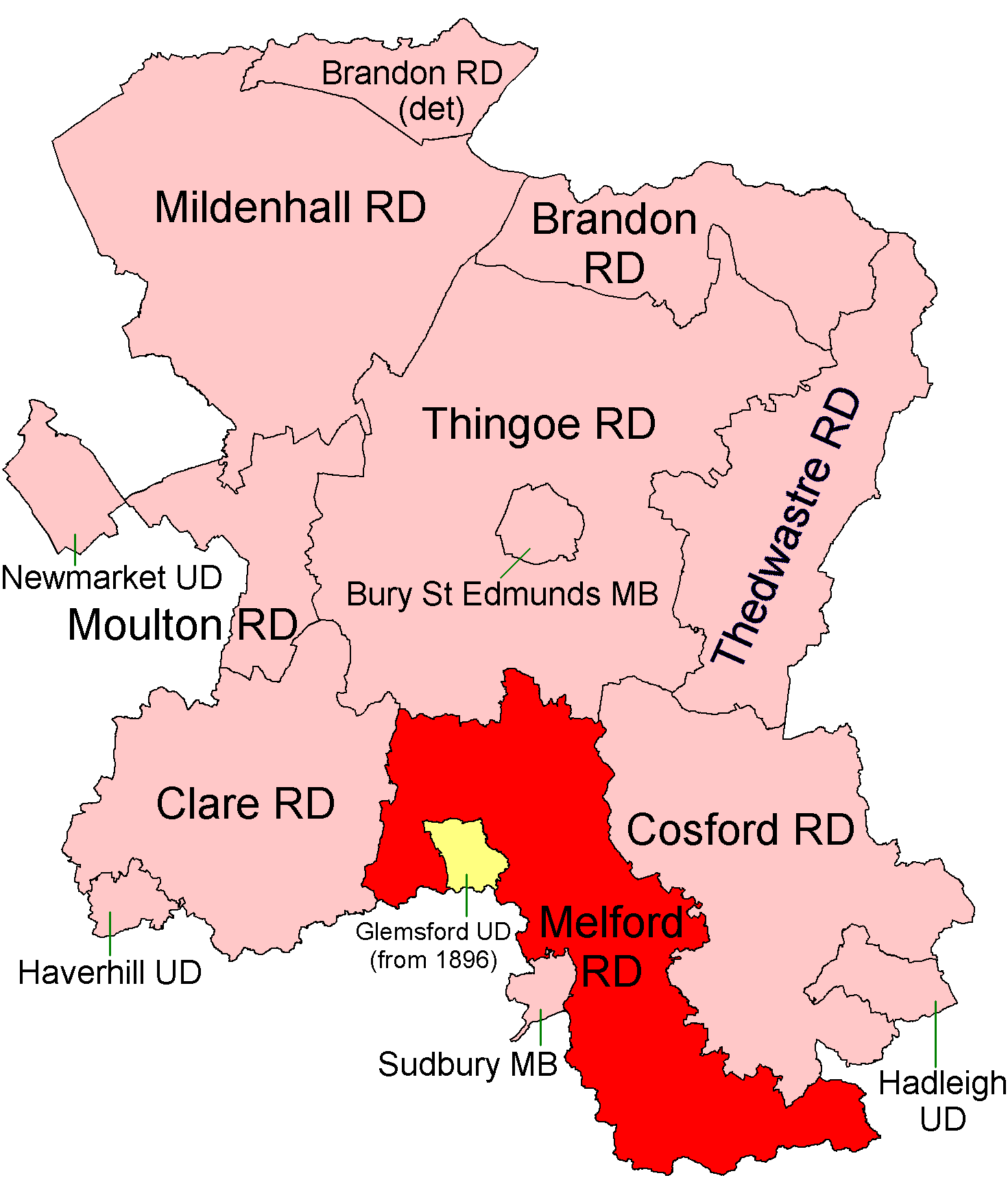
Melford Rural District
Melford Rural District was a rural district in the county of West Suffolk, England. It was created in 1894, under the Local Government Act 1894 from that...
Nearby Amenities
Located within 500m of 52.05811,0.775571Have you been to Waldingfield, Great?
Leave your review of Waldingfield, Great below (or comments, questions and feedback).