Allsmoor Pond
Lake, Pool, Pond, Freshwater Marsh in Berkshire
England
Allsmoor Pond

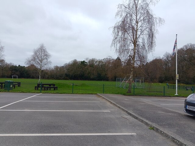
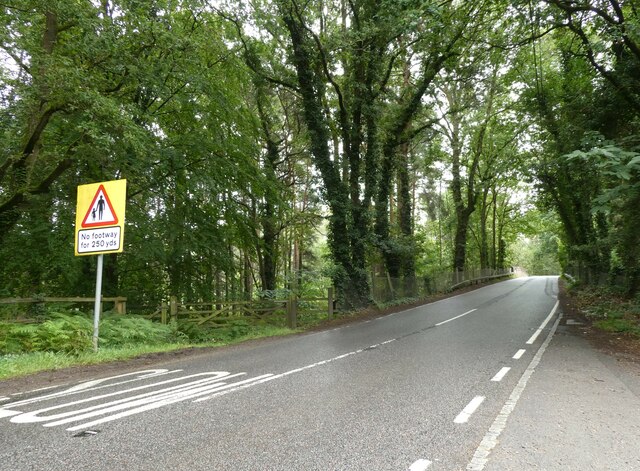
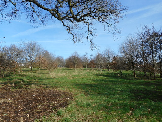
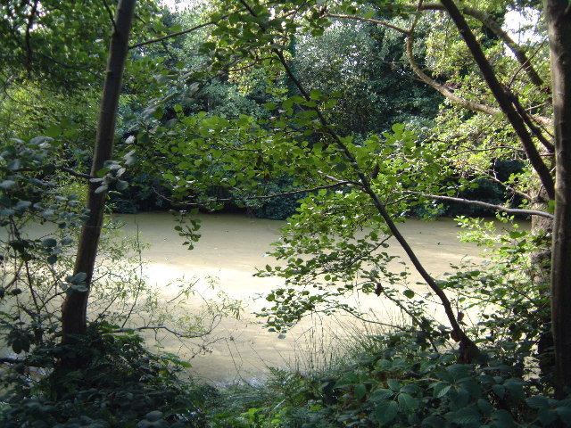
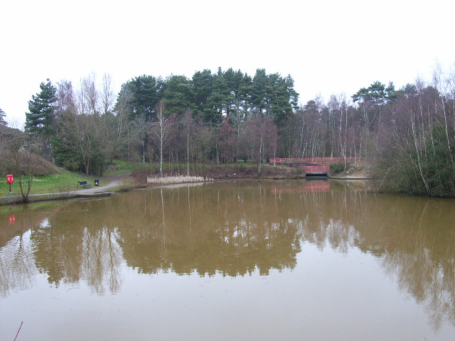
Allsmoor Pond is a freshwater pond located in Berkshire, England. Situated in the picturesque countryside, it is a small yet charming body of water that serves as a habitat for various aquatic plants and animals. The pond is surrounded by lush greenery, creating a serene and tranquil atmosphere.
Covering an area of approximately 1 acre, Allsmoor Pond is relatively shallow, with an average depth of 2 to 3 meters. It is fed by a natural spring, ensuring a constant supply of fresh water. The pond is predominantly filled with freshwater plants such as reeds, lilies, and watermilfoils, which contribute to its natural beauty.
The diverse ecosystem of Allsmoor Pond supports a range of wildlife. It is home to a variety of fish species, including carp, roach, and perch, which thrive in the pond's habitat. Additionally, the pond attracts waterfowl such as ducks, swans, and herons, which can be observed gracefully gliding across its surface.
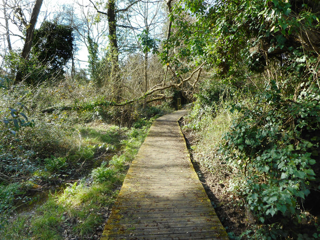
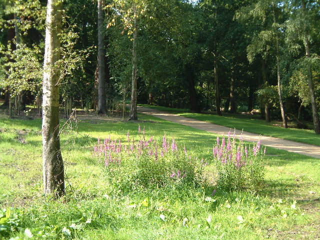
The surrounding area of Allsmoor Pond is a haven for nature enthusiasts and birdwatchers. It provides a peaceful environment for visitors to enjoy the beauty of nature, with several walking trails and seating areas available. The pond also offers opportunities for recreational activities such as fishing and boating, subject to local regulations.
Overall, Allsmoor Pond is a charming freshwater oasis nestled in the Berkshire countryside. Its natural beauty, diverse ecosystem, and tranquil ambiance make it an ideal destination for those seeking a peaceful retreat or a chance to observe and appreciate the wonders of nature.
If you have any feedback on the listing, please let us know in the comments section below.
Allsmoor Pond Images
Images are sourced within 2km of 51.408932/-0.72872532 or Grid Reference SU8868. Thanks to Geograph Open Source API. All images are credited.


Allsmoor Pond is located at Grid Ref: SU8868 (Lat: 51.408932, Lng: -0.72872532)
Unitary Authority: Bracknell Forest
Police Authority: Thames Valley
What 3 Words
///mute.span.alone. Near Bracknell, Berkshire
Nearby Locations
Related Wikis

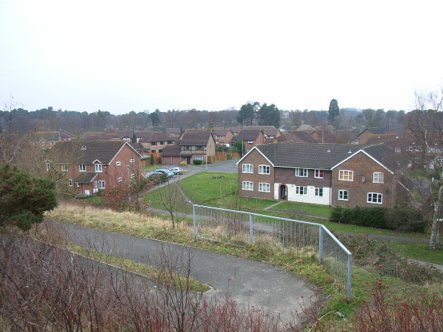
Jennett's Park
Jennett's Park is a suburb of Bracknell in the English county of Berkshire. It is a recent development with the first residents moving there in 2007. It...

Martins Heron railway station
Martins Heron railway station serves Martins Heron, a suburb on the eastern edge of Bracknell, Berkshire, England. It is 31 miles 9 chains (50.1 km) down...

Martins Heron
Martins Heron is a suburb of Bracknell 25 miles (40 km) west of London in Berkshire, England. Martins Heron and the neighbouring suburb The Warren are...
The Warren, Bracknell Forest
The Warren is a suburban area in Berkshire, England, and a conurbation of Bracknell, adjacent to the large expanses of Swinley Forest, part of the Crown...

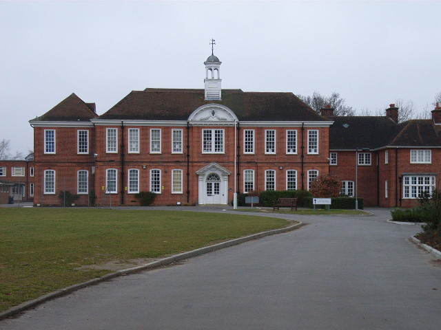
RAF Staff College, Bracknell
The RAF Staff College at Bracknell was a Royal Air Force staff college active for most of the second half of the 20th century. Its role was the training...

Bullbrook
Bullbrook is a suburb of Bracknell , in the English county of Berkshire, formerly part of the parish of Winkfield. It is named after the Bull Brook which...
Forest Park, Bracknell Forest
Forest Park is a suburb of Bracknell, in Berkshire, England. It and Crown Wood are in Crown Wood ward and named after the Crown Estate of Swinley Forest...

Harmans Water
Harmans Water is a suburb of Bracknell, in the English county of Berkshire, formerly part of the parish of Winkfield. It takes its name from Harman's Water...
Nearby Amenities
Located within 500m of 51.408932,-0.72872532Have you been to Allsmoor Pond?
Leave your review of Allsmoor Pond below (or comments, questions and feedback).