Wooliff Pond

Lake, Pool, Pond, Freshwater Marsh in Hampshire East Hampshire

England

Wooliff Pond

Footpath from Buriton to Chalton Public footpath 041/5/1 Buriton follows a well-defined alignment across a cultivated cereal field south of Head Down Plantation.
Footpath from Buriton to Chalton Credit: Hugh Craddock

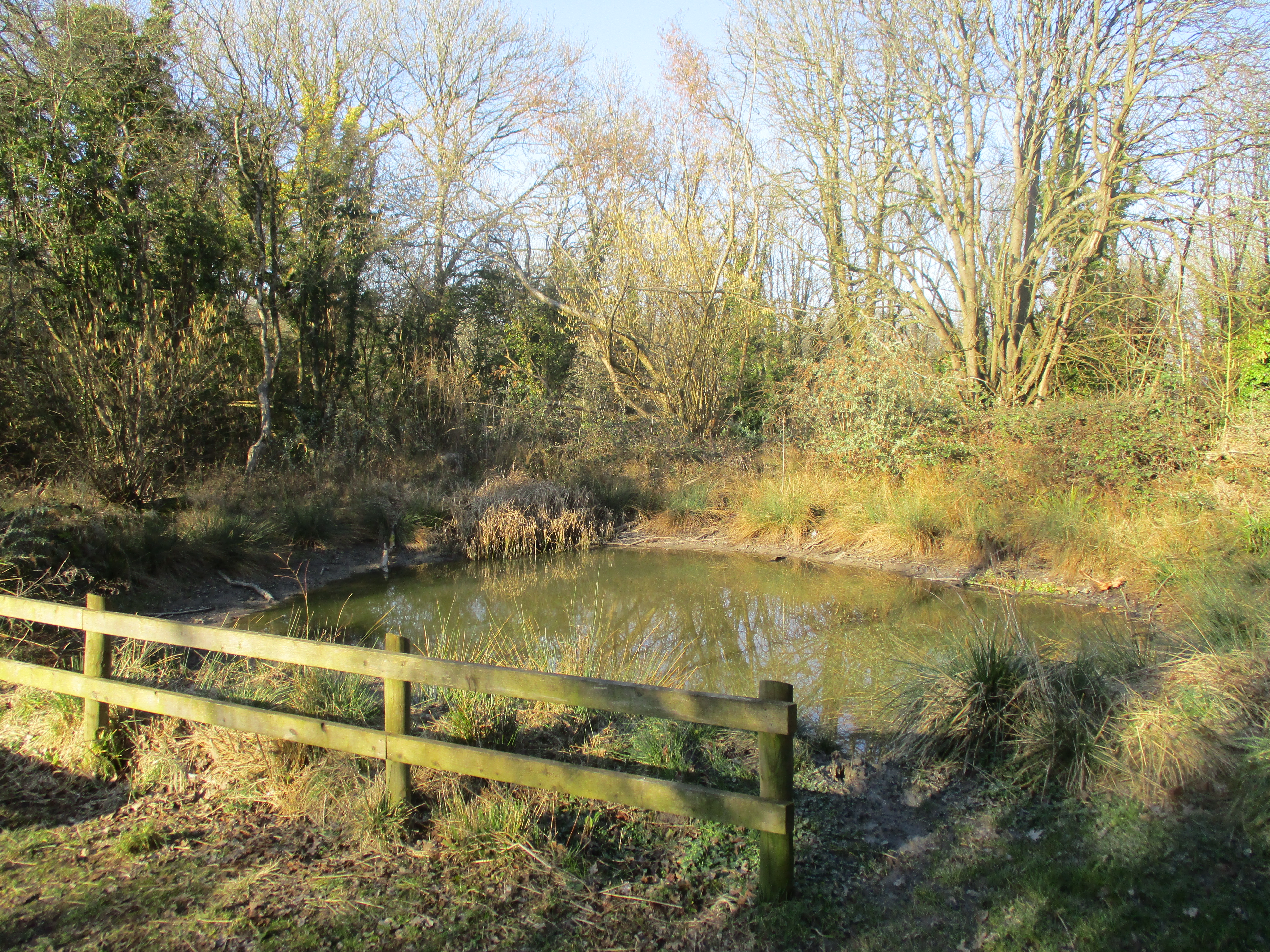
Wooliff Pond is a picturesque freshwater marsh located in Hampshire, England. Spanning across an area of approximately 10 acres, it serves as a serene and tranquil spot for both locals and visitors to enjoy the beauty of nature.

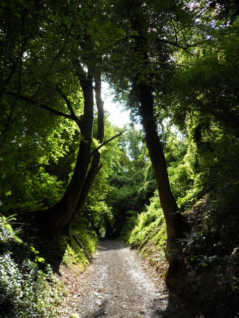
Nestled amidst a lush green landscape, Wooliff Pond is surrounded by tall grasses, reeds, and a variety of vibrant wildflowers. These vegetation types provide a perfect habitat for numerous species of birds and insects, making it a popular spot for birdwatchers and nature enthusiasts. The rich biodiversity of the area includes species such as mallards, coots, herons, and dragonflies, among others.

The pond itself is relatively shallow, with an average depth of around 3 feet. It boasts crystal-clear water, allowing visitors to observe the diverse aquatic life that inhabits the pond. The water is home to various species of fish, such as perch and roach, which can often be seen swimming near the surface.

Surrounding the pond, there are several walking trails and picnic spots, making it an ideal location for family outings and leisurely strolls. The calm and peaceful atmosphere of Wooliff Pond provides a welcome respite from the hustle and bustle of everyday life.

Overall, Wooliff Pond in Hampshire is a charming freshwater marsh that offers an abundance of natural beauty and wildlife. With its scenic surroundings and diverse ecosystem, it provides a delightful experience for those seeking solace in nature or simply wanting to immerse themselves in the wonders of Hampshire's countryside.

If you have any feedback on the listing, please let us know in the comments section below.
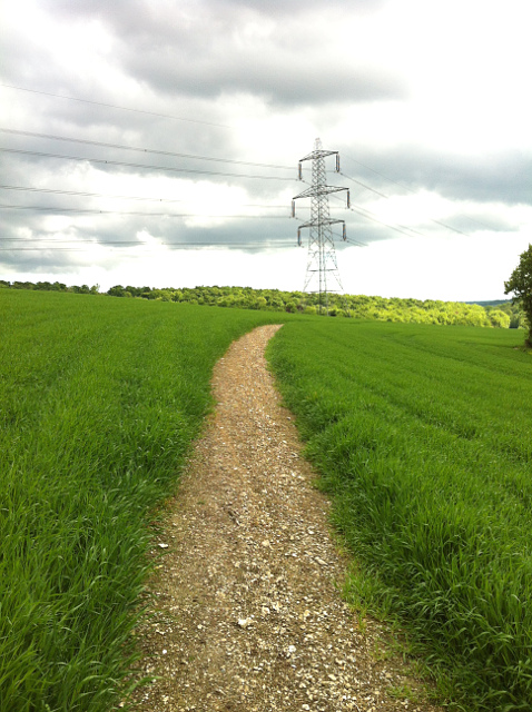
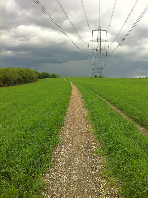
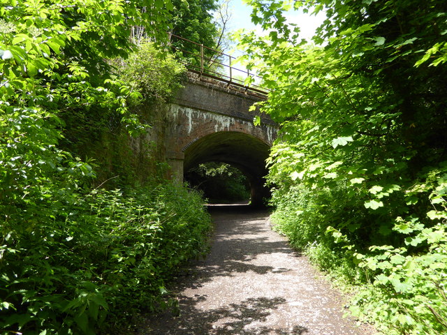
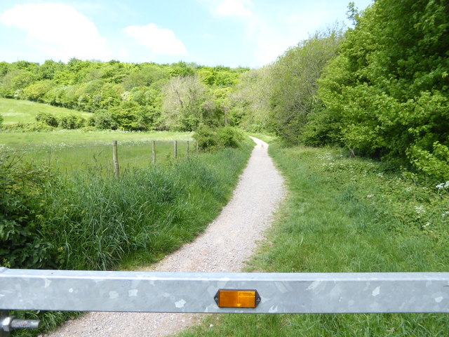
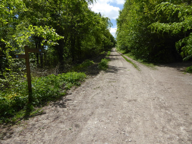
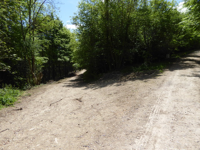
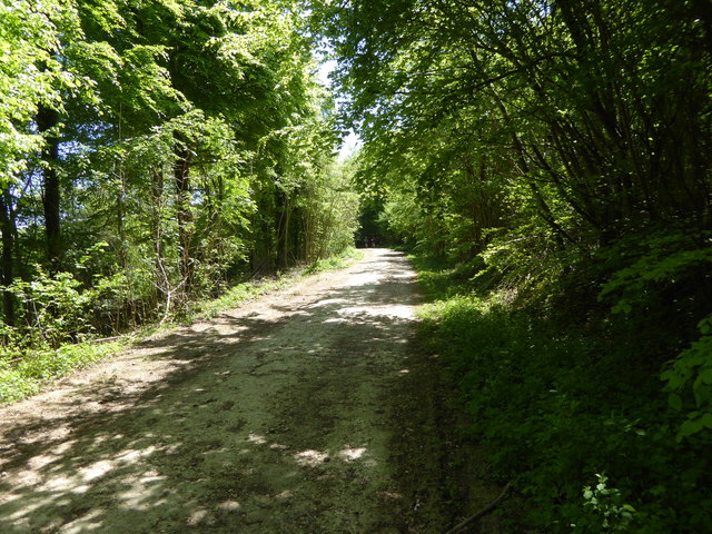
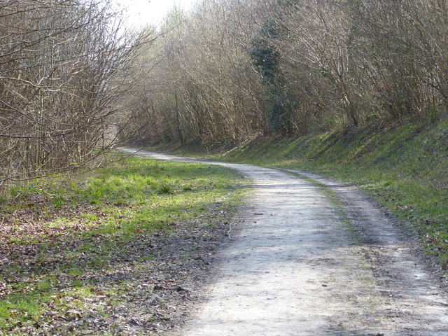
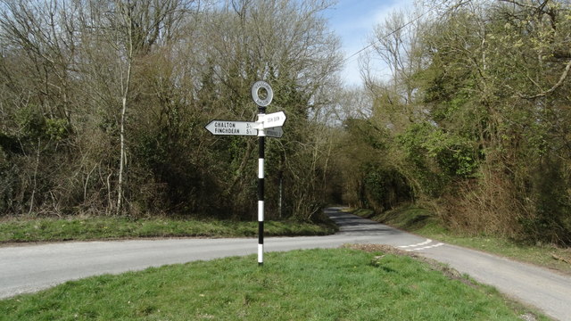
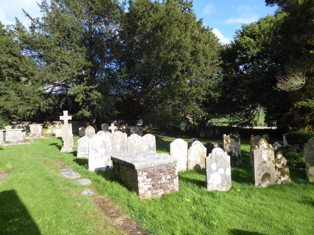
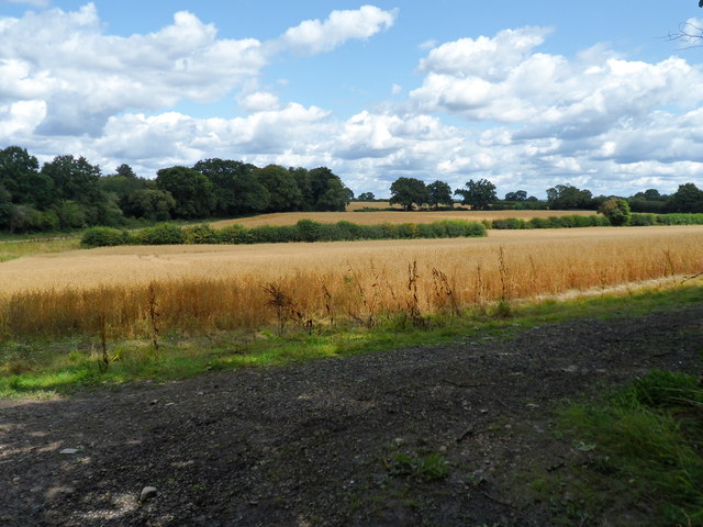
Wooliff Pond Images

Images are sourced within 2km of 50.973036/-0.94983621 or Grid Reference SU7319. Thanks to Geograph Open Source API. All images are credited.

Footpath from Buriton to Chalton Public footpath 041/5/1 Buriton follows a well-defined alignment across a cultivated cereal field south of Head Down Plantation.
Footpath from Buriton to Chalton
Public footpath 041/5/1 Buriton follows a well-defined alignment across a cultivated cereal field south of Head Down Plantation.
Footpath from Chalton to Buriton Public footpath 041/5/1 Buriton follows a long cross-field alignment to reach Head Down Plantation, which on this occasion, was reinstated to a very high standard, 1m wide.
Footpath from Chalton to Buriton
Public footpath 041/5/1 Buriton follows a long cross-field alignment to reach Head Down Plantation, which on this occasion, was reinstated to a very high standard, 1m wide.
Shipwrights' Way 140 For the fourth time Shipwrights' Way crosses with the Portsmouth line.  See also <a title="https://www.geograph.org.uk/photo/3643056" href="https://www.geograph.org.uk/photo/3643056">Link</a>.
Shipwrights' Way 140
For the fourth time Shipwrights' Way crosses with the Portsmouth line. See also Link.
Shipwrights' Way 141 The route enters Queen Elizabeth Country Park.
Shipwrights' Way 141
The route enters Queen Elizabeth Country Park.
Shipwrights' Way 142 Here is a bridleway signpost for the SDW.  Shipwrights' Way shares the next mile with the SDW.  However the Hants CC interactive map shows the following section of the routes as a footpath rather than a bridleway but this should not be the case for the Shipwrights' Way.  Perhaps I have misunderstood something.  I also thought I had taken this image further south.  If anyone can help please do.
Shipwrights' Way 142
Here is a bridleway signpost for the SDW. Shipwrights' Way shares the next mile with the SDW. However the Hants CC interactive map shows the following section of the routes as a footpath rather than a bridleway but this should not be the case for the Shipwrights' Way. Perhaps I have misunderstood something. I also thought I had taken this image further south. If anyone can help please do.
Shipwrights' Way 148 The route doubles back on itself having come from the track on the right to leave by the one on the left.
Shipwrights' Way 148
The route doubles back on itself having come from the track on the right to leave by the one on the left.
Shipwrights' Way 149 Still with the Staunton Way, the Shipwrights' Way heads southwards.
Shipwrights' Way 149
Still with the Staunton Way, the Shipwrights' Way heads southwards.
View across valley from farm track
East Hampshire : London Road A3 Looking along London Road, the A3, heading through East Hampshire.
East Hampshire : London Road A3
Looking along London Road, the A3, heading through East Hampshire.
Shipwright's Way Queen Elizabeth country Park
Shipwright's Way
Queen Elizabeth country Park
Road junction & signpost above Buriton, Hants
Gravestones in Buriton Churchyard
Farmland East of Buriton
The Milky Way Track
The Milky Way Track
Buriton Churchyard: CWGC grave (a) His service record can be seen here <span class="nowrap"><a title="https://www.cwgc.org/find-war-dead/casualty/2758427/francis,-samuel/" rel="nofollow ugc noopener" href="https://www.cwgc.org/find-war-dead/casualty/2758427/francis,-samuel/">Link</a><img style="margin-left:2px;" alt="External link" title="External link - shift click to open in new window" src="https://s1.geograph.org.uk/img/external.png" width="10" height="10"/></span>
Buriton Churchyard: CWGC grave (a)
His service record can be seen here LinkExternal link
Buriton Churchyard: CWGC grave (b) Beagley's service record can be seen here
Buriton Churchyard: CWGC grave (b)
Beagley's service record can be seen here
Buriton Churchyard: the 3rd grave The CWGC records the graves of servicemen whose families opted not to have the standard headstone: here is Kite's record <span class="nowrap"><a title="https://www.cwgc.org/find-war-dead/casualty/2758428/kite,-alan-walter/" rel="nofollow ugc noopener" href="https://www.cwgc.org/find-war-dead/casualty/2758428/kite,-alan-walter/">Link</a><img style="margin-left:2px;" alt="External link" title="External link - shift click to open in new window" src="https://s1.geograph.org.uk/img/external.png" width="10" height="10"/></span>
Buriton Churchyard: the 3rd grave
The CWGC records the graves of servicemen whose families opted not to have the standard headstone: here is Kite's record LinkExternal link
Buriton Churchyard: The Squire's Grave Also see <span class="nowrap"><a title="https://www.geni.com/people/John-Bonham-Carter/6000000004671647247" rel="nofollow ugc noopener" href="https://www.geni.com/people/John-Bonham-Carter/6000000004671647247">Link</a><img style="margin-left:2px;" alt="External link" title="External link - shift click to open in new window" src="https://s1.geograph.org.uk/img/external.png" width="10" height="10"/></span>
Buriton Churchyard: The Squire's Grave
Also see LinkExternal link
Show me another place!

Wooliff Pond is located at Grid Ref: SU7319 (Lat: 50.973036, Lng: -0.94983621)

Administrative County: Hampshire

District: East Hampshire

Police Authority: Hampshire

What 3 Words

///older.snuggled.facing. Near Petersfield, Hampshire

Related Wikis

Buriton Chalk Pit

Buriton Chalk Pit is a 5.7-hectare (14-acre) Local Nature Reserve near Buriton in Hampshire. It is owned by East Hampshire District Council and managed...

Buriton

Buriton () is a village and civil parish in the East Hampshire district of Hampshire, England. It is located 2 miles (3.3 km) south of Petersfield. �...

Ditcham

Ditcham is a hamlet in the East Hampshire district of Hampshire, England. The hamlet lies on the Hampshire-West Sussex border. Its nearest town is Petersfield...

Head Down, Hampshire

Head Down is one of the highest points in the county of Hampshire, England, and in the South Downs, rising to 205 metres (673 ft) above sea level. The...

Coulters Dean

Coulters Dean is a 2.2-hectare (5.4-acre) biological Site of Special Scientific Interest south-east of Buriton in Hampshire. It is part of the 4-hectare...

War Down

At 244 metres (801 ft), War Down is one of the highest hills in the county of Hampshire, England and the second highest summit in the Hampshire part of...

Oakham Hill

Oakham Hill is one of the highest points in the county of Hampshire, England, and in the South Downs, rising to 202 metres (663 ft) above sea level. Oakham...

Queen Elizabeth Country Park

Queen Elizabeth Country Park is a large country park situated on the South Downs in southern England. It is located on the A3 road three miles south of...

Nearby Amenities

Located within 500m of 50.973036,-0.94983621
Dean Barn
Landuse: farm
Note Retag: CS #48756035
Residence: farm
Lat/Long: 50.9702/-0.950489
Buriton
Place: village
Lat/Long: 50.9770516/-0.9498932
Source: Landsat photo
Lat/Long: 50.9730218/-0.9507651
Source: Landsat photo
Lat/Long: 50.9743925/-0.9524449
Source: Landsat photo
Lat/Long: 50.9754119/-0.9533651
Parking
Lat/Long: 50.9755585/-0.9502882
Barrier: height_restrictor
Material: steel
Maxheight: 2.0
Source: survey
Lat/Long: 50.9728482/-0.9562822
Barrier: kissing_gate
Material: wood
Source: survey
Lat/Long: 50.9725368/-0.94841
Pub
The Village Inn
Addr City: Petersfield
Addr Postcode: GU31 5SW
Addr Street: Petersfield Road
Addr Suburb: Buriton
Fhrs Id: 929903
Old Name: The Master Roberts Inn
Lat/Long: 50.9773366/-0.9506715
Bus Stop
Master Robert Ph
Bus: yes
Naptan AtcoCode: 1900HA020078
Naptan Bearing: NW
Naptan CommonName: Master Robert Ph
Naptan Crossing: Petersfield Road
Naptan NaptanCode: hamgpgtj
Naptan Street: Kiln Lane
Naptan Verified: no
Public Transport: platform
Shelter: yes
Source: naptan_import
Lat/Long: 50.976784/-0.9504143
Bus Stop
Master Robert Ph
Bus: yes
Naptan AtcoCode: 1900HA020079
Naptan Bearing: SE
Naptan BusStopType: CUS
Naptan CommonName: Master Robert Ph
Naptan Crossing: Heatherfield
Naptan NaptanCode: hamgpgpt
Naptan Street: Petersfield Road
Naptan Verified: no
Public Transport: platform
Shelter: no
Source: naptan_import
Lat/Long: 50.9773097/-0.9508726
Barrier: kissing_gate
Source: survey
Lat/Long: 50.972552/-0.9568521
Barrier: kissing_gate
Source: survey
Lat/Long: 50.9728004/-0.9565064
Check Date: 2021-08-18
Traffic Calming: chicane
Lat/Long: 50.9765928/-0.9501696
Post Box
Brand: Royal Mail
Brand Wikidata: Q638098
Brand Wikipedia: en:Royal Mail
Collection Times: Mo-Fr 17:15; Sa 09:15
Operator: Royal Mail
Operator Type: private
Operator Wikidata: Q638098
Post Box Type: lamp
Ref: GU31 76
Royal Cypher: EIIR
Royal Cypher Wikidata: Q33102113
Lat/Long: 50.9772904/-0.950239
Buriton War Memorial
Historic: memorial
Wikidata: Q55709488
Lat/Long: 50.9749821/-0.9476655
Manor House
Addr Housename: Manor House
Building: yes
Wikidata: Q17533099
Lat/Long: 50.9754435/-0.9468899
Barrier: kissing_gate
Source: survey
Lat/Long: 50.9741708/-0.9519039
Buriton Chalk Pits
Board Type: nature
Information: board
Tourism: information
Lat/Long: 50.9728305/-0.9559506
Barrier: kissing_gate
Material: wood
Source: survey
Lat/Long: 50.9742388/-0.9477875
Barrier: kissing_gate
Foot: yes
Material: wood
Source: survey
Lat/Long: 50.9766053/-0.9469323
Barrier: stile
Information: guidepost
Source: survey
Stile: squeezer
Tourism: information
Lat/Long: 50.9711739/-0.9524661
Cheese Snail
Artist Name: Richard Perry
Artwork Type: sculpture
Material: stone
Source: survey
Tourism: artwork
Lat/Long: 50.9728546/-0.9557692
Barrier: kissing_gate
Source: survey
Lat/Long: 50.9714404/-0.9525134
Bench
Check Date: 2021-08-18
Source: survey
Lat/Long: 50.9715968/-0.9525768
Barrier: kissing_gate
Source: survey
Lat/Long: 50.972307/-0.9548258
Check Date: 2021-08-18
Source: survey
Traffic Calming: choker
Lat/Long: 50.9762651/-0.9520585
Telephone
Booth: KX100
Covered: booth
Mapillary: 954224238451924
Survey Date: 2020-08-18
Lat/Long: 50.9753639/-0.9490775
Access: permissive
Drinking Water: yes
Man Made: water_tap
Lat/Long: 50.9748201/-0.9473915
Access: yes
Drinking Water: yes
Man Made: water_tap
Lat/Long: 50.9758353/-0.9503062
Bench
Backrest: yes
Material: wood
Lat/Long: 50.9729495/-0.9558536
The data included in this document is from www.openstreetmap.org. The data is made available under ODbL.

Have you been to Wooliff Pond?

Leave your review of Wooliff Pond below (or comments, questions and feedback).