Dale Pond
Lake, Pool, Pond, Freshwater Marsh in Northamptonshire
England
Dale Pond
Dale Pond is a picturesque freshwater body located in the county of Northamptonshire, England. Nestled amidst lush greenery and rolling hills, this serene water feature offers a tranquil escape from the hustle and bustle of city life.
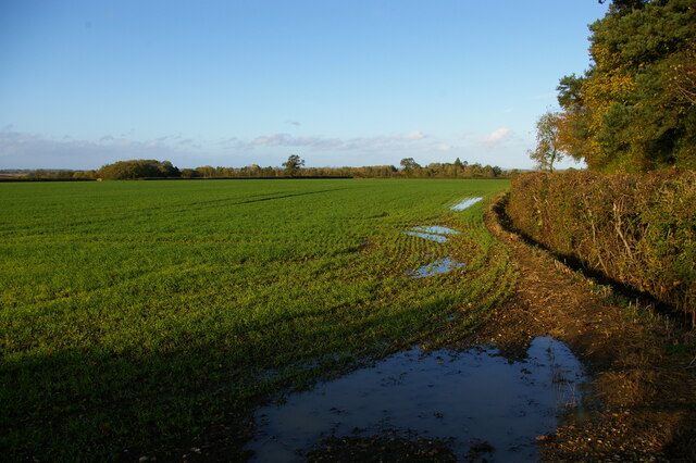
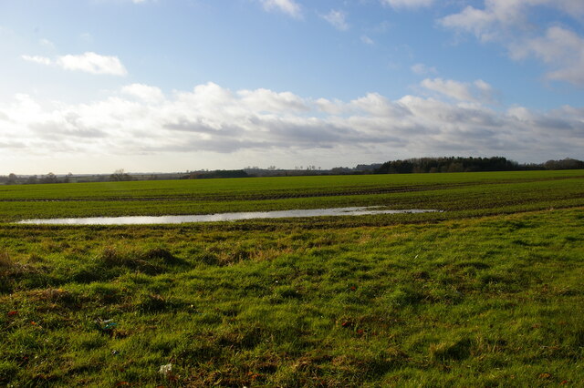
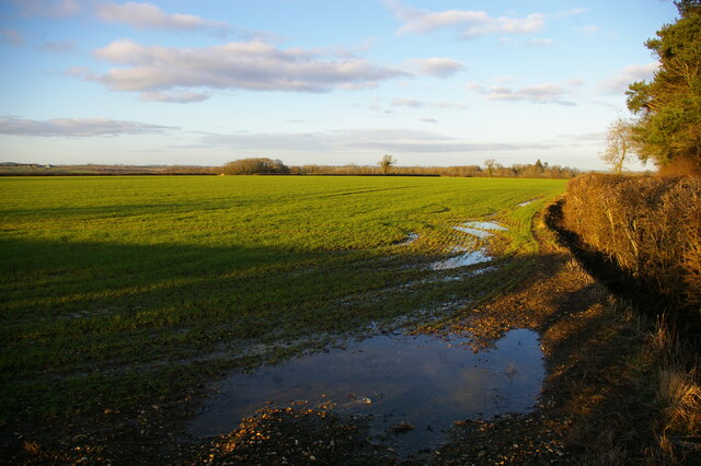
Covering an area of approximately 10 acres, Dale Pond is a popular destination for nature lovers, anglers, and birdwatchers alike. The crystal-clear water is home to a diverse range of aquatic flora and fauna, making it a haven for wildlife enthusiasts. Visitors can expect to spot a variety of bird species, including herons, swans, ducks, and geese, which frequent the pond throughout the year.
The pond's calm and serene ambiance is enhanced by the surrounding landscape, characterized by gently swaying reeds, willow trees, and colorful wildflowers. A well-maintained footpath encircles the pond, offering visitors ample opportunities for leisurely strolls and peaceful picnics along the water's edge.
For those interested in fishing, Dale Pond provides an excellent angling experience. The pond is stocked with a variety of fish species, including carp, perch, roach, and tench, attracting both seasoned anglers and beginners.
Dale Pond is easily accessible, with a convenient car park located nearby, providing visitors with hassle-free entry and ample parking facilities. The calm and serene atmosphere, coupled with the abundant wildlife and recreational opportunities, make Dale Pond a hidden gem in the heart of Northamptonshire, offering a delightful experience for all who visit.
If you have any feedback on the listing, please let us know in the comments section below.
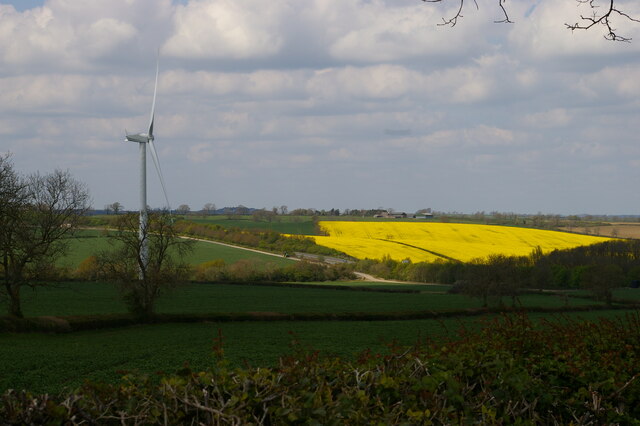
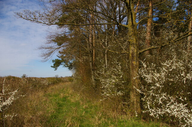
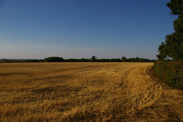
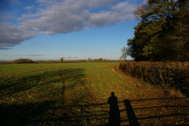
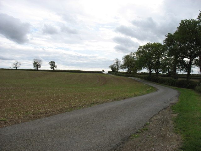
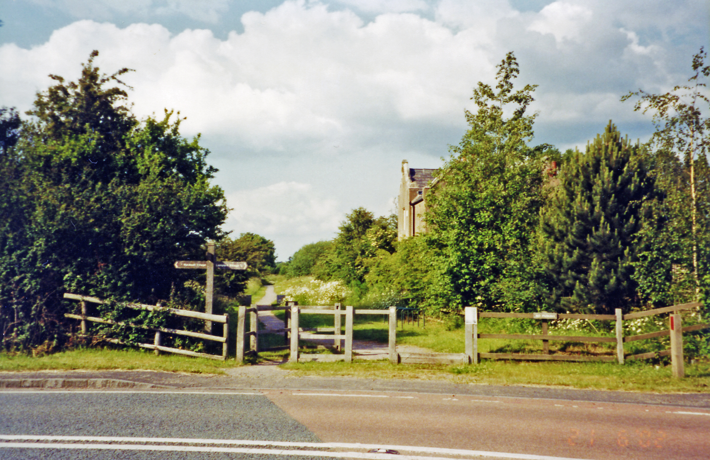
Dale Pond Images
Images are sourced within 2km of 52.382582/-0.91661962 or Grid Reference SP7376. Thanks to Geograph Open Source API. All images are credited.


Dale Pond is located at Grid Ref: SP7376 (Lat: 52.382582, Lng: -0.91661962)
Unitary Authority: West Northamptonshire
Police Authority: Northamptonshire
What 3 Words
///signed.botanists.perform. Near Brixworth, Northamptonshire
Nearby Locations
Related Wikis

Maidwell
Maidwell is a village and civil parish in West Northamptonshire in England. At the time of the 2001 census, the parish had 325 inhabitants, including Draughton...
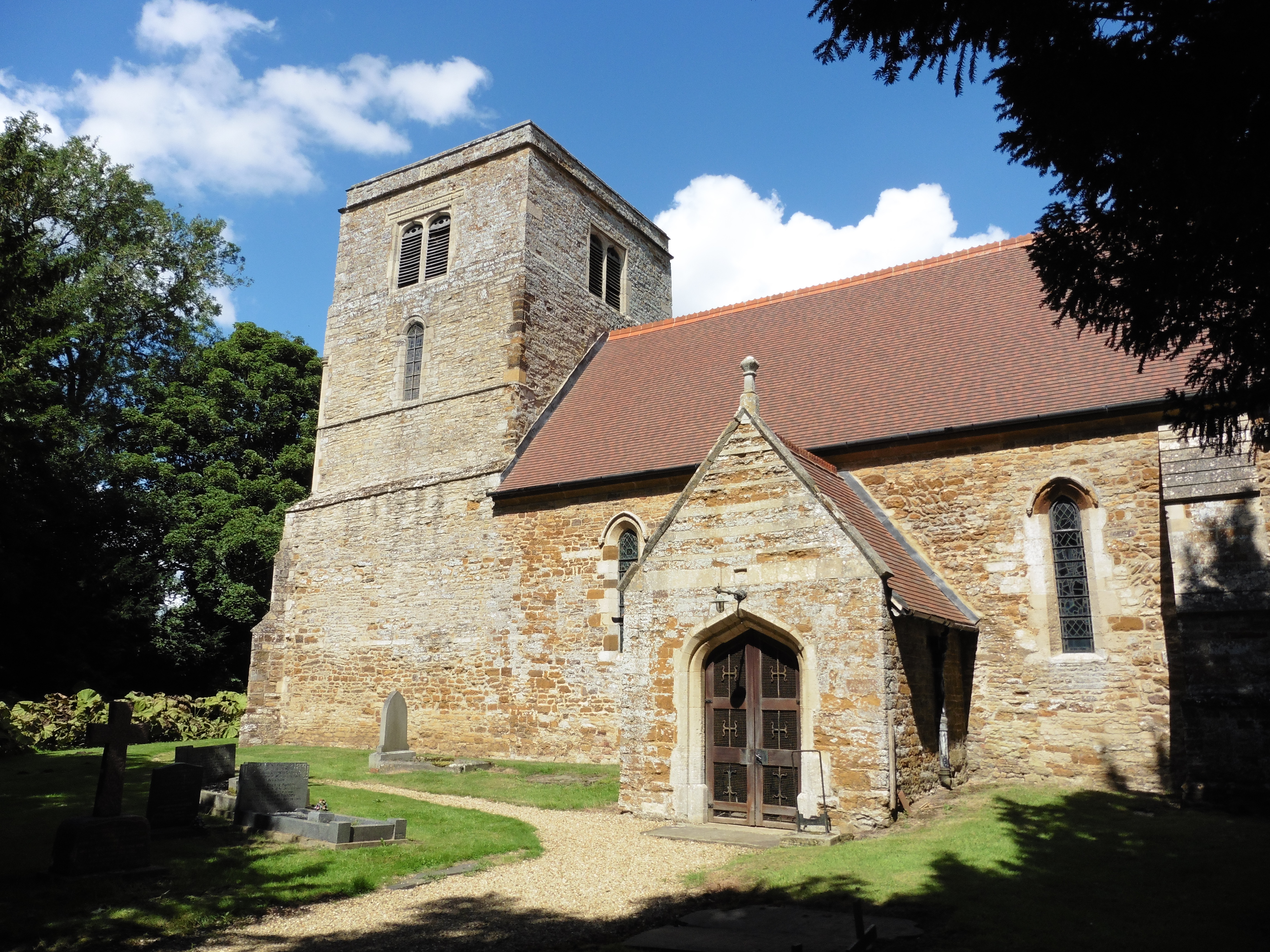
St Mary the Virgin's Church, Maidwell
St Mary the Virgin's Church is an Anglican Church and the parish church of Maidwell, Northamptonshire. It is a Grade II* listed building and stands on...
Lamport railway station
Lamport railway station on the Northampton and Market Harborough railway opened on 16 February 1859 serving the villages of Lamport, Maidwell, Hanging...

Draughton, Northamptonshire
Draughton is a village and civil parish in West Northamptonshire, England. It is situated approximately one mile east of Maidwell at grid reference SP762767...

St Catherine's Church, Draughton
St Catherine's Church is an Anglican Church and the parish church of Draughton. It is a Grade II* listed building and stands in the village of Draughton...

Brampton Valley Way
The Brampton Valley Way is a 14-mile (23 km) rail trail built on the way of the former Northampton to Market Harborough Railway in Northamptonshire, England...
Haselbech
Haselbech (Pronounced Hazel-beech) is a village and civil parish in West Northamptonshire in England. At the time of the 2001 census, the parish had a...

Lamport, Northamptonshire
Lamport is a village and civil parish in West Northamptonshire, England. The village is on the A508, about 8 miles (13 km) south of Market Harborough and...
Nearby Amenities
Located within 500m of 52.382582,-0.91661962Have you been to Dale Pond?
Leave your review of Dale Pond below (or comments, questions and feedback).