Appleton's Copse

Wood, Forest in Hampshire East Hampshire

England

Appleton's Copse

Sheep grazing on Butser Hill The steep woodland is on the other side of the A3, just visible to left of centre.
Sheep grazing on Butser Hill Credit: David Martin

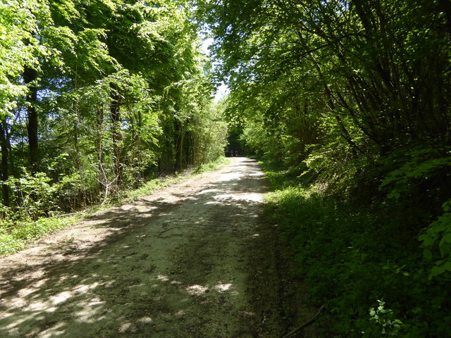
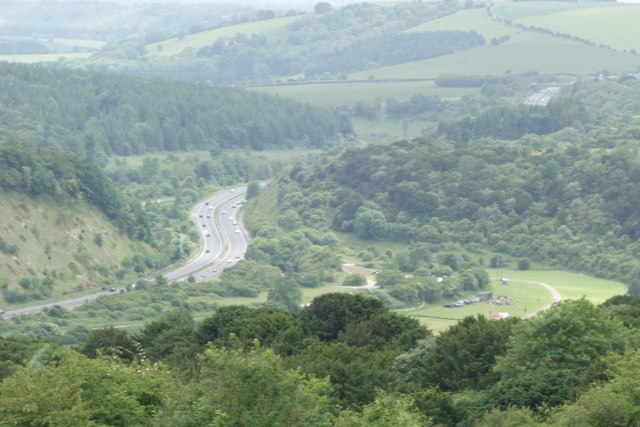
Appleton's Copse is a serene woodland located in the county of Hampshire, England. Covering an area of approximately 50 acres, it is nestled in the picturesque countryside and offers a peaceful retreat for nature enthusiasts and hikers alike.

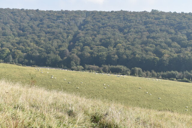
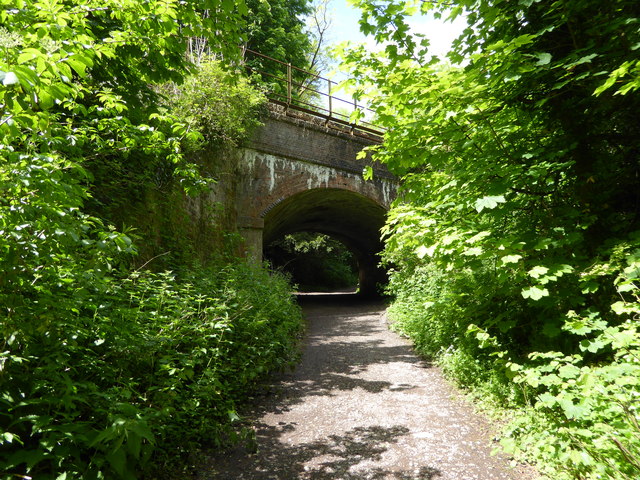
The copse is predominantly composed of broadleaf trees, with an abundance of oak, beech, and ash trees creating a dense canopy that provides shade and shelter for the diverse range of flora and fauna found within its boundaries. The forest floor is adorned with a vibrant carpet of bluebells, primroses, and wild garlic during spring, creating a stunning display of colors and scents.

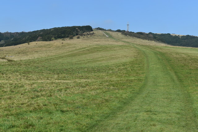
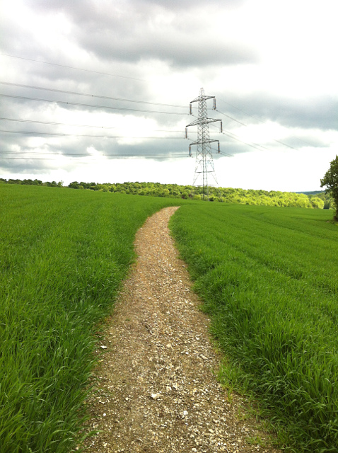
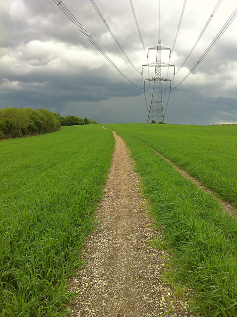
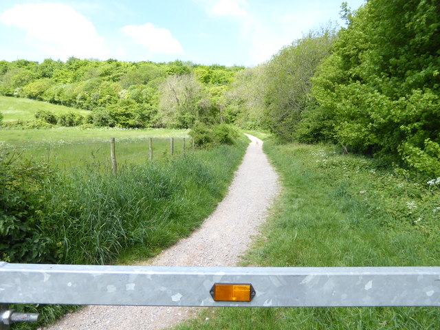
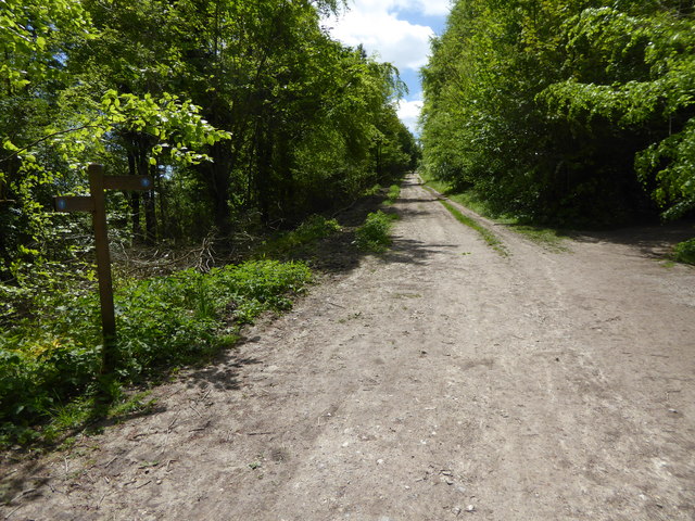
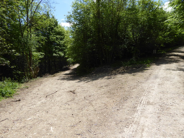
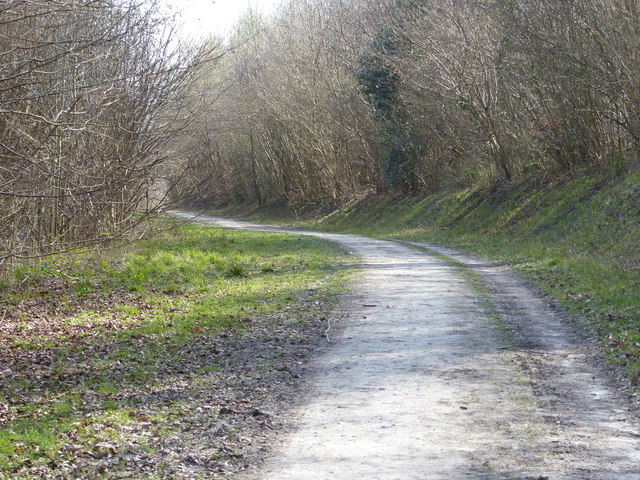
Walking trails wind their way through the copse, allowing visitors to immerse themselves in the tranquility of the woodland and discover its hidden treasures. The paths are well-maintained and suitable for all levels of fitness, making it an ideal destination for families and individuals looking to enjoy a leisurely stroll or a more challenging hike.

Wildlife thrives in Appleton's Copse, with a variety of bird species, including woodpeckers and songbirds, filling the air with their melodic tunes. Squirrels can be seen darting between the trees, while deer occasionally grace visitors with their graceful presence.

For those seeking a moment of solitude or a peaceful spot to picnic, there are several clearings and seating areas scattered throughout the copse, offering breathtaking views of the surrounding countryside.

Appleton's Copse is a true gem in Hampshire's natural landscape, providing a haven of tranquility and beauty for all who venture into its depths.

If you have any feedback on the listing, please let us know in the comments section below.

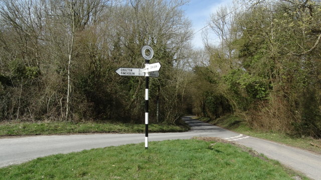
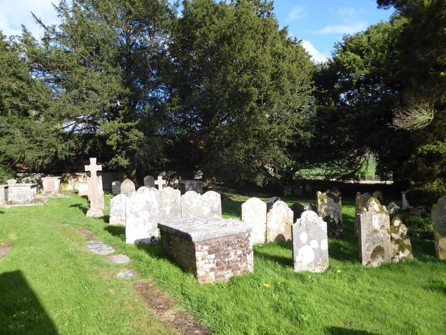
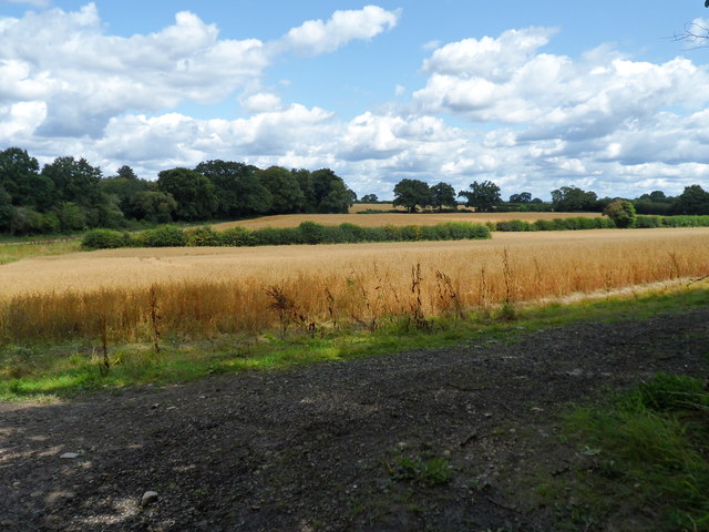
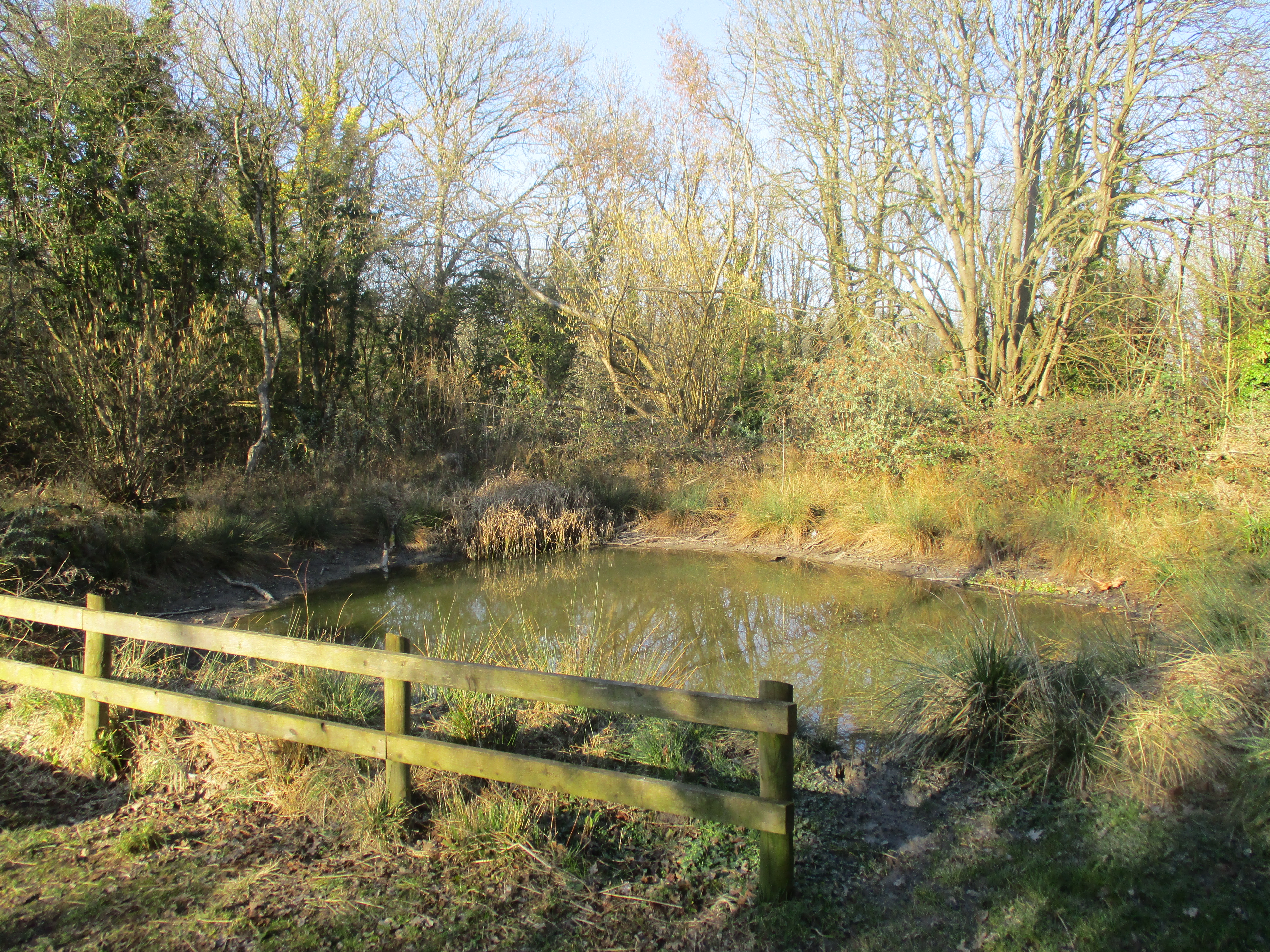
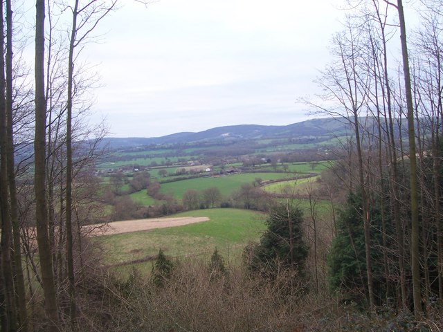
Appleton's Copse Images

Images are sourced within 2km of 50.972598/-0.95307923 or Grid Reference SU7319. Thanks to Geograph Open Source API. All images are credited.

Sheep grazing on Butser Hill The steep woodland is on the other side of the A3, just visible to left of centre.
Sheep grazing on Butser Hill
The steep woodland is on the other side of the A3, just visible to left of centre.
Curving grassy path up Butser Hill
Footpath from Buriton to Chalton Public footpath 041/5/1 Buriton follows a well-defined alignment across a cultivated cereal field south of Head Down Plantation.
Footpath from Buriton to Chalton
Public footpath 041/5/1 Buriton follows a well-defined alignment across a cultivated cereal field south of Head Down Plantation.
Footpath from Chalton to Buriton Public footpath 041/5/1 Buriton follows a long cross-field alignment to reach Head Down Plantation, which on this occasion, was reinstated to a very high standard, 1m wide.
Footpath from Chalton to Buriton
Public footpath 041/5/1 Buriton follows a long cross-field alignment to reach Head Down Plantation, which on this occasion, was reinstated to a very high standard, 1m wide.
Shipwrights' Way 140 For the fourth time Shipwrights' Way crosses with the Portsmouth line.  See also <a title="https://www.geograph.org.uk/photo/3643056" href="https://www.geograph.org.uk/photo/3643056">Link</a>.
Shipwrights' Way 140
For the fourth time Shipwrights' Way crosses with the Portsmouth line. See also Link.
Shipwrights' Way 141 The route enters Queen Elizabeth Country Park.
Shipwrights' Way 141
The route enters Queen Elizabeth Country Park.
Shipwrights' Way 142 Here is a bridleway signpost for the SDW.  Shipwrights' Way shares the next mile with the SDW.  However the Hants CC interactive map shows the following section of the routes as a footpath rather than a bridleway but this should not be the case for the Shipwrights' Way.  Perhaps I have misunderstood something.  I also thought I had taken this image further south.  If anyone can help please do.
Shipwrights' Way 142
Here is a bridleway signpost for the SDW. Shipwrights' Way shares the next mile with the SDW. However the Hants CC interactive map shows the following section of the routes as a footpath rather than a bridleway but this should not be the case for the Shipwrights' Way. Perhaps I have misunderstood something. I also thought I had taken this image further south. If anyone can help please do.
Shipwrights' Way 146 This is in Holt Down Plantation.
Shipwrights' Way 146
This is in Holt Down Plantation.
Shipwrights' Way 148 The route doubles back on itself having come from the track on the right to leave by the one on the left.
Shipwrights' Way 148
The route doubles back on itself having come from the track on the right to leave by the one on the left.
Shipwrights' Way 149 Still with the Staunton Way, the Shipwrights' Way heads southwards.
Shipwrights' Way 149
Still with the Staunton Way, the Shipwrights' Way heads southwards.
View across valley from farm track
The A3 Heading South Skirting the Queen Elizabeth Country Park. As seen on an overcast day.
The A3 Heading South
Skirting the Queen Elizabeth Country Park. As seen on an overcast day.
East Hampshire : London Road A3 Looking along London Road, the A3, heading through East Hampshire.
East Hampshire : London Road A3
Looking along London Road, the A3, heading through East Hampshire.
East Hampshire : London Road A3 Looking along London Road, the A3, heading through East Hampshire.
East Hampshire : London Road A3
Looking along London Road, the A3, heading through East Hampshire.
Shipwright's Way Queen Elizabeth country Park
Shipwright's Way
Queen Elizabeth country Park
Road junction & signpost above Buriton, Hants
Gravestones in Buriton Churchyard
Farmland East of Buriton
Show me another place!

Appleton's Copse is located at Grid Ref: SU7319 (Lat: 50.972598, Lng: -0.95307923)

Administrative County: Hampshire

District: East Hampshire

Police Authority: Hampshire

What 3 Words

///merchant.doses.masses. Near Petersfield, Hampshire

Related Wikis

Nearby Amenities

Located within 500m of 50.972598,-0.95307923
Dean Barn
Landuse: farm
Note Retag: CS #48756035
Residence: farm
Lat/Long: 50.9702/-0.950489
Source: Landsat photo
Lat/Long: 50.9730218/-0.9507651
Source: Landsat photo
Lat/Long: 50.9743925/-0.9524449
Source: Landsat photo
Lat/Long: 50.9754119/-0.9533651
Source: Landsat photo
Lat/Long: 50.9768345/-0.954438
Parking
Lat/Long: 50.9755585/-0.9502882
Barrier: height_restrictor
Material: steel
Maxheight: 2.0
Source: survey
Lat/Long: 50.9728482/-0.9562822
Barrier: kissing_gate
Material: wood
Source: survey
Lat/Long: 50.9725368/-0.94841
Barrier: kissing_gate
Source: survey
Lat/Long: 50.9711184/-0.958813
Barrier: kissing_gate
Source: survey
Lat/Long: 50.972552/-0.9568521
Barrier: kissing_gate
Source: survey
Lat/Long: 50.9728004/-0.9565064
Check Date: 2021-08-18
Traffic Calming: chicane
Lat/Long: 50.9765928/-0.9501696
Buriton War Memorial
Historic: memorial
Wikidata: Q55709488
Lat/Long: 50.9749821/-0.9476655
Barrier: kissing_gate
Source: survey
Lat/Long: 50.9741708/-0.9519039
Buriton Chalk Pits
Board Type: nature
Information: board
Tourism: information
Lat/Long: 50.9728305/-0.9559506
Barrier: kissing_gate
Material: wood
Source: survey
Lat/Long: 50.9742388/-0.9477875
Barrier: stile
Information: guidepost
Source: survey
Stile: squeezer
Tourism: information
Lat/Long: 50.9711739/-0.9524661
Cheese Snail
Artist Name: Richard Perry
Artwork Type: sculpture
Material: stone
Source: survey
Tourism: artwork
Lat/Long: 50.9728546/-0.9557692
Barrier: kissing_gate
Source: survey
Lat/Long: 50.9714404/-0.9525134
Bench
Check Date: 2021-08-18
Source: survey
Lat/Long: 50.9715968/-0.9525768
Barrier: kissing_gate
Source: survey
Lat/Long: 50.972307/-0.9548258
Check Date: 2021-08-18
Source: survey
Traffic Calming: choker
Lat/Long: 50.9762651/-0.9520585
Telephone
Booth: KX100
Covered: booth
Mapillary: 954224238451924
Survey Date: 2020-08-18
Lat/Long: 50.9753639/-0.9490775
Access: permissive
Drinking Water: yes
Man Made: water_tap
Lat/Long: 50.9748201/-0.9473915
Access: yes
Drinking Water: yes
Man Made: water_tap
Lat/Long: 50.9758353/-0.9503062
Bench
Backrest: yes
Material: wood
Lat/Long: 50.9729495/-0.9558536
The data included in this document is from www.openstreetmap.org. The data is made available under ODbL.

Have you been to Appleton's Copse?

Leave your review of Appleton's Copse below (or comments, questions and feedback).