Lackmore Pond
Lake, Pool, Pond, Freshwater Marsh in Oxfordshire South Oxfordshire
England
Lackmore Pond

Lackmore Pond is a picturesque freshwater marsh located in the county of Oxfordshire, England. Situated amidst rolling hills and verdant meadows, this serene body of water offers a tranquil retreat for both locals and visitors alike.
Covering an area of approximately 5 acres, Lackmore Pond is classified as a pond due to its smaller size. It is surrounded by lush vegetation, including reeds, grasses, and water lilies, which provide a thriving habitat for various species of wildlife. The pond is fed by a small stream that meanders through the surrounding countryside, ensuring a constant supply of freshwater.
The calm, crystal-clear waters of Lackmore Pond are home to a diverse range of aquatic life. Common species found here include perch, roach, and tench, attracting fishing enthusiasts who seek to test their angling skills. Additionally, the pond hosts a variety of waterfowl, such as ducks, geese, and swans, creating a picturesque setting for birdwatchers.
The surroundings of Lackmore Pond offer numerous recreational opportunities for nature lovers. A well-maintained walking trail meanders around the pond, providing visitors with a chance to explore the area and enjoy the tranquil ambiance. The pond also serves as a popular spot for picnicking, with several designated areas offering picturesque views and ample seating.
Overall, Lackmore Pond in Oxfordshire is a pristine freshwater marsh that offers a peaceful haven for wildlife and visitors alike. Its idyllic setting, abundant wildlife, and recreational opportunities make it a must-visit destination for nature enthusiasts seeking solace in the beauty of the English countryside.
If you have any feedback on the listing, please let us know in the comments section below.
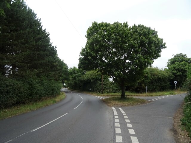
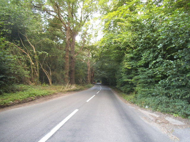
Lackmore Pond Images
Images are sourced within 2km of 51.528568/-1.0472432 or Grid Reference SU6681. Thanks to Geograph Open Source API. All images are credited.


Lackmore Pond is located at Grid Ref: SU6681 (Lat: 51.528568, Lng: -1.0472432)
Administrative County: Oxfordshire
District: South Oxfordshire
Police Authority: Thames Valley
What 3 Words
///speaker.collides.succeed. Near Rotherfield Peppard, Oxfordshire
Nearby Locations
Related Wikis

Exlade Street
Exlade Street is a hamlet in Checkendon civil parish in Oxfordshire, about 6 miles (9.7 km) northwest of Reading, in the Chiltern Hills. The hamlet is...

Hook End Recording Studios
Hook End Recording Studios was a recording studio located in Hook End Manor, a 16th-century Elizabethan house near Checkendon, Oxfordshire, England. Its...

The Oratory School
The Oratory School () is an HMC co-educational private Roman Catholic boarding and day school for pupils aged 11–18 located in Woodcote, 6 miles (9.7 km...

Langtree School
Langtree School is a coeducational secondary school located in the village of Woodcote in South Oxfordshire, England. The school has approximately 624...

St Peter and St Paul, Checkendon
St Peter and St Paul is the Church of England parish church of Checkendon, a village in Oxfordshire, England. Its parish is part of the Deanery of Henley...
Checkendon
Checkendon is a village and civil parish about 6 miles (10 km) west of Henley-on-Thames in South Oxfordshire and about 9 miles (14 km) north west of Reading...

Woodcote
Woodcote is a village and civil parish in South Oxfordshire, about 5 miles (8 km) southeast of Wallingford and about 7 miles (11 km) northwest of Reading...

Wyfold Court
Wyfold Court is a country house at Rotherfield Peppard in south Oxfordshire. It is a Grade II* listed building. By the year 2000, the estate had been converted...
Nearby Amenities
Located within 500m of 51.528568,-1.0472432Have you been to Lackmore Pond?
Leave your review of Lackmore Pond below (or comments, questions and feedback).