Hookend Common
Wood, Forest in Oxfordshire South Oxfordshire
England
Hookend Common

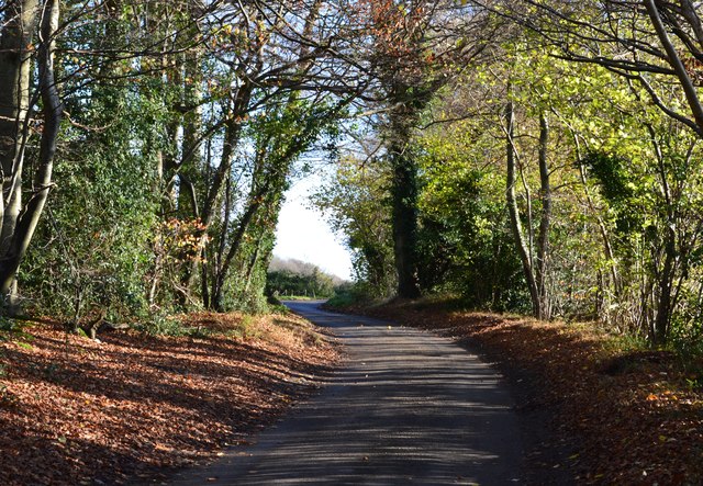
Hookend Common is a picturesque and expansive woodland area located in Oxfordshire, England. Covering an area of approximately 250 acres, the common is known for its rich biodiversity and natural beauty. It is situated near the village of Hook Norton, providing a peaceful retreat for locals and visitors alike.
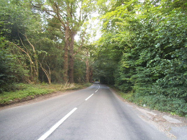
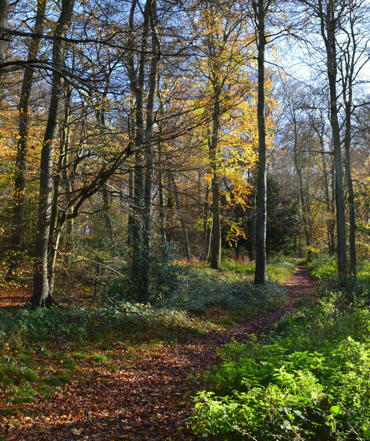
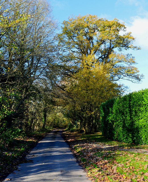
The common is characterized by its dense woodland, consisting primarily of deciduous trees such as oak, beech, and birch. These towering trees create a lush canopy that provides shade and shelter for a variety of wildlife. The forest floor is adorned with a diverse range of flora, including bluebells, ferns, and wildflowers, adding to the enchanting atmosphere.
Walking trails meander through the common, allowing visitors to explore its serene surroundings. These paths provide opportunities for nature enthusiasts to spot a plethora of wildlife, such as deer, badgers, and a multitude of bird species. The common is also home to several protected species, including the rare barbastelle bat.
In addition to its natural beauty, Hookend Common has historical significance. It was once part of the medieval hunting grounds of the local nobility, and remnants of old boundaries and ditches can still be seen today.
With its stunning woodland, diverse wildlife, and historical charm, Hookend Common offers a tranquil escape for those seeking a connection with nature.
If you have any feedback on the listing, please let us know in the comments section below.
Hookend Common Images
Images are sourced within 2km of 51.527116/-1.0357991 or Grid Reference SU6681. Thanks to Geograph Open Source API. All images are credited.


Hookend Common is located at Grid Ref: SU6681 (Lat: 51.527116, Lng: -1.0357991)
Administrative County: Oxfordshire
District: South Oxfordshire
Police Authority: Thames Valley
What 3 Words
///skylights.months.lingering. Near Rotherfield Peppard, Oxfordshire
Nearby Locations
Related Wikis

Hook End Recording Studios
Hook End Recording Studios was a recording studio located in Hook End Manor, a 16th-century Elizabethan house near Checkendon, Oxfordshire, England. Its...

Exlade Street
Exlade Street is a hamlet in Checkendon civil parish in Oxfordshire, about 6 miles (9.7 km) northwest of Reading, in the Chiltern Hills. The hamlet is...

Wyfold Court
Wyfold Court is a country house at Rotherfield Peppard in south Oxfordshire. It is a Grade II* listed building. By the year 2000, the estate had been converted...

The Oratory School
The Oratory School () is an HMC co-educational private Roman Catholic boarding and day school for pupils aged 11–18 located in Woodcote, 6 miles (9.7 km...

St Peter and St Paul, Checkendon
St Peter and St Paul is the Church of England parish church of Checkendon, a village in Oxfordshire, England. Its parish is part of the Deanery of Henley...
Checkendon
Checkendon is a village and civil parish about 6 miles (10 km) west of Henley-on-Thames in South Oxfordshire and about 9 miles (14 km) north west of Reading...

Langtree School
Langtree School is a coeducational secondary school located in the village of Woodcote in South Oxfordshire, England. The school has approximately 624...

Woodcote
Woodcote is a village and civil parish in South Oxfordshire, about 5 miles (8 km) southeast of Wallingford and about 7 miles (11 km) northwest of Reading...
Nearby Amenities
Located within 500m of 51.527116,-1.0357991Have you been to Hookend Common?
Leave your review of Hookend Common below (or comments, questions and feedback).