Hyde's Pond
Lake, Pool, Pond, Freshwater Marsh in Oxfordshire South Oxfordshire
England
Hyde's Pond
Hyde's Pond, located in Oxfordshire, is a picturesque freshwater marsh that offers a serene and tranquil environment for nature lovers and outdoor enthusiasts. Spanning an area of approximately 10 acres, the pond is surrounded by lush greenery and serves as a haven for a variety of plant and animal species.
This natural water body is primarily fed by local streams and rainfall, ensuring a constant supply of fresh water. The pond's depth varies throughout the year, with an average depth of around 6 feet. During the summer months, the water level may decrease slightly due to evaporation and drainage, but it remains a popular spot for wildlife and visitors.
Hyde's Pond boasts a diverse ecosystem, with an abundance of aquatic plants and vegetation that provide a thriving habitat for numerous species of fish, amphibians, and birds. Anglers often frequent this location to try their hand at catching carp, roach, and perch.
Nature enthusiasts can enjoy leisurely walks along the pond's perimeter, observing the numerous bird species that inhabit the area, including swans, ducks, and herons. The surrounding marshland is home to various water-loving plants such as reeds, rushes, and water lilies, adding to the pond's natural charm.
Visitors to Hyde's Pond can also enjoy picnicking amidst the tranquil surroundings or simply find solace in the peaceful ambiance. The pond serves as a natural retreat, allowing individuals to escape the hustle and bustle of everyday life and connect with nature's beauty.
If you have any feedback on the listing, please let us know in the comments section below.
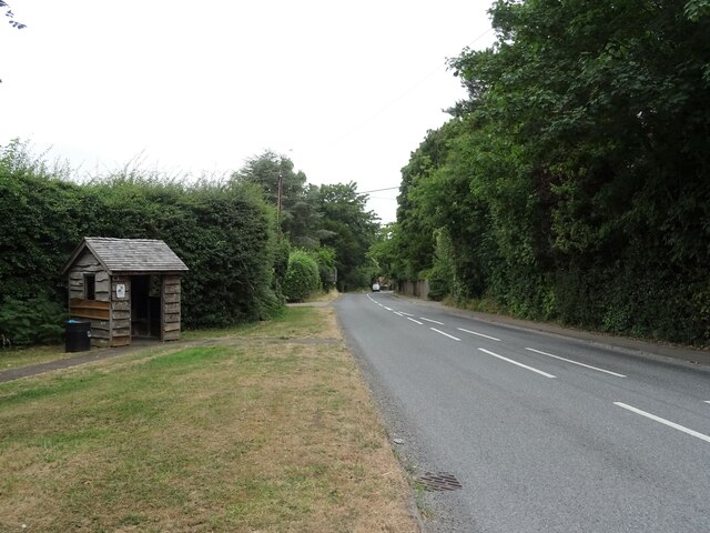
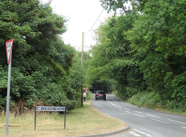
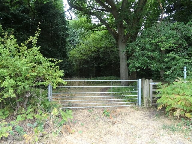
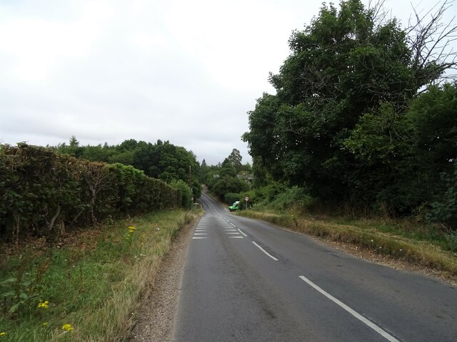
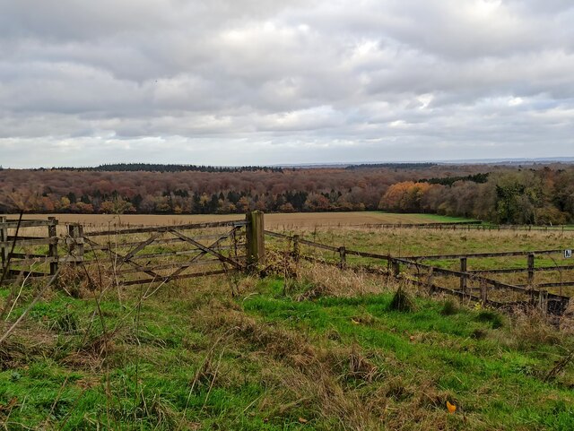
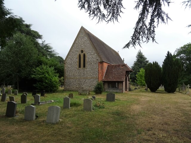
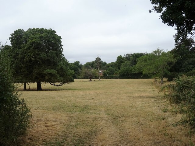
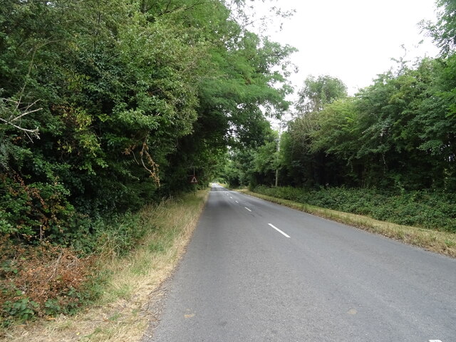
Hyde's Pond Images
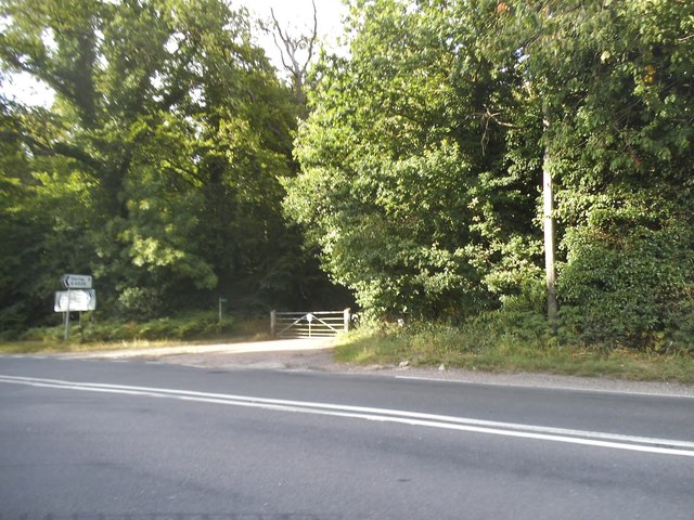
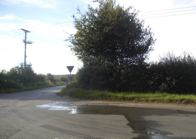
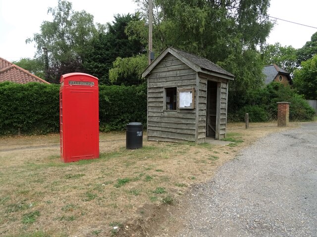
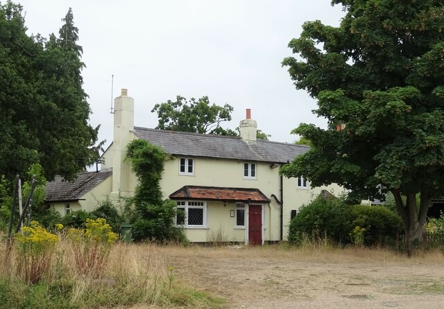
Images are sourced within 2km of 51.512824/-1.0640718 or Grid Reference SU6579. Thanks to Geograph Open Source API. All images are credited.
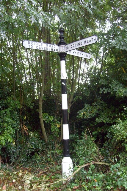
Hyde's Pond is located at Grid Ref: SU6579 (Lat: 51.512824, Lng: -1.0640718)
Administrative County: Oxfordshire
District: South Oxfordshire
Police Authority: Thames Valley
What 3 Words
///momentous.guard.stockpile. Near Pangbourne, Berkshire
Nearby Locations
Related Wikis
Whitchurch Hill
Whitchurch Hill is a village in the Chiltern Hills in Oxfordshire, about 5.5 miles (9 km) northwest of Reading, Berkshire, near Whitchurch-on-Thames. The...
The Oratory Preparatory School
The Oratory Prep School is a Roman Catholic day and boarding school for some 330 boys and girls aged from two to thirteen, founded in 1925. The school...
Crays Pond
Crays Pond is a hamlet situated in the parish of Goring Heath in South Oxfordshire. Crays Pond is about 2.4 miles (3.9 km) northeast of Goring-on-Thames...
Goring Rural District
Goring was a rural district in Oxfordshire, England from 1894 to 1932. It was formed from that part of the Bradfield rural sanitary district which was...
Hardwick House, Oxfordshire
Hardwick House is a Tudor house on the banks of the River Thames on a slight rise at Whitchurch-on-Thames in the English county of Oxfordshire. It is reputed...
The Oratory School
The Oratory School () is an HMC co-educational private Roman Catholic boarding and day school for pupils aged 11–18 located in Woodcote, 6 miles (9.7 km...
Langtree School
Langtree School is a coeducational secondary school located in the village of Woodcote in South Oxfordshire, England. The school has approximately 624...
Exlade Street
Exlade Street is a hamlet in Checkendon civil parish in Oxfordshire, about 6 miles (9.7 km) northwest of Reading, in the Chiltern Hills. The hamlet is...
Nearby Amenities
Located within 500m of 51.512824,-1.0640718Have you been to Hyde's Pond?
Leave your review of Hyde's Pond below (or comments, questions and feedback).
