Knog's Lake
Lake, Pool, Pond, Freshwater Marsh in Hampshire Winchester
England
Knog's Lake
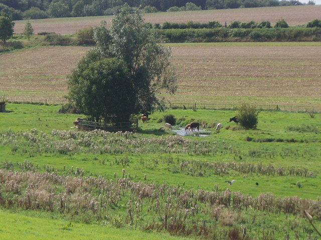
Knog's Lake is a picturesque freshwater marsh located in Hampshire, England. This enchanting body of water showcases a unique blend of natural beauty and wildlife, making it a popular destination for nature enthusiasts and photographers alike.
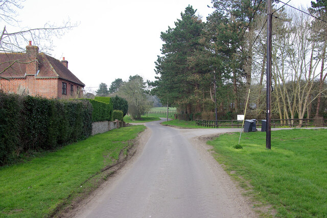
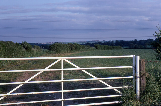
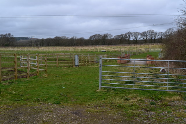
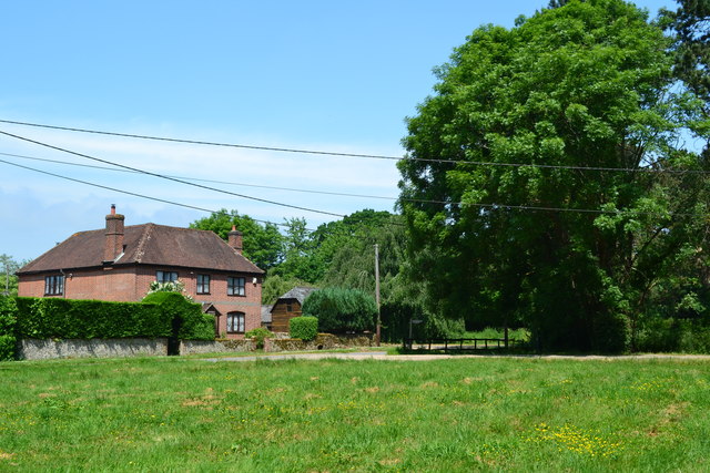
Covering an area of approximately 20 acres, Knog's Lake is surrounded by lush greenery and offers a tranquil escape from the hustle and bustle of everyday life. The lake itself is relatively small, resembling more of a pond or pool, with calm and crystal-clear waters that reflect the surrounding landscape.
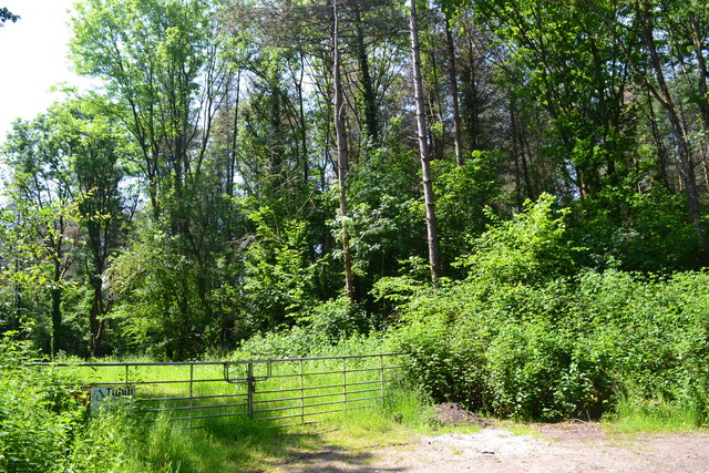
The freshwater marsh surrounding the lake is home to a diverse range of plant and animal species. Tall reeds and water lilies adorn the edges of the lake, providing a habitat for numerous types of waterfowl, including swans, ducks, and geese. The marsh also attracts a variety of other bird species, such as herons and kingfishers, adding to the area's vibrant ecosystem.
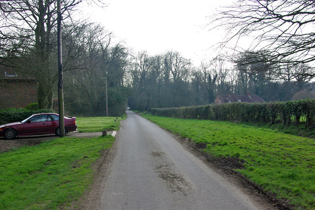
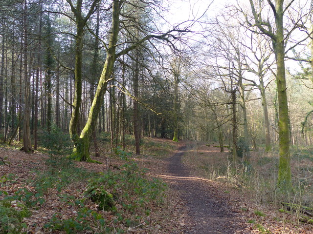
Visitors to Knog's Lake can enjoy leisurely walks along the well-maintained footpaths that meander through the surrounding marshland. These paths offer stunning views of the lake and provide opportunities for birdwatching and photography. The peaceful ambiance of the lake and its surroundings make it an ideal spot for picnics, fishing, or simply immersing oneself in nature.
Overall, Knog's Lake is a hidden gem in Hampshire, offering a serene and idyllic setting for those seeking solace in the beauty of the natural world. Whether it's enjoying a leisurely stroll, observing wildlife, or simply finding a peaceful spot to relax, this freshwater marsh has something to offer for everyone.
If you have any feedback on the listing, please let us know in the comments section below.
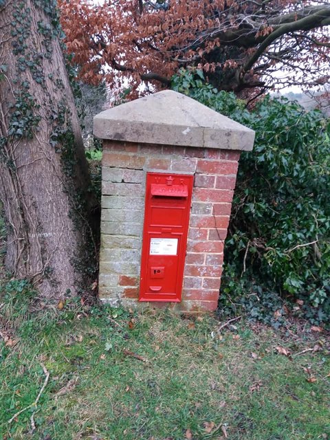
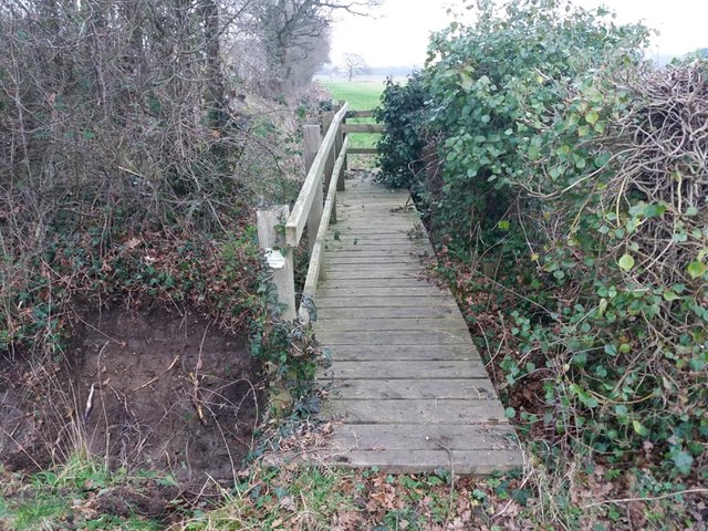
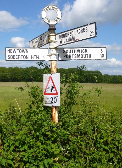
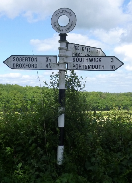
Knog's Lake Images
Images are sourced within 2km of 50.908509/-1.1332747 or Grid Reference SU6112. Thanks to Geograph Open Source API. All images are credited.


Knog's Lake is located at Grid Ref: SU6112 (Lat: 50.908509, Lng: -1.1332747)
Administrative County: Hampshire
District: Winchester
Police Authority: Hampshire
What 3 Words
///solder.obliging.bigger. Near Wickham, Hampshire
Nearby Locations
Related Wikis

Wood End, Hampshire
Wood End is a hamlet in the civil parish of Soberton in the City of Winchester district of Hampshire, England. Its nearest town is Fareham, which lies...
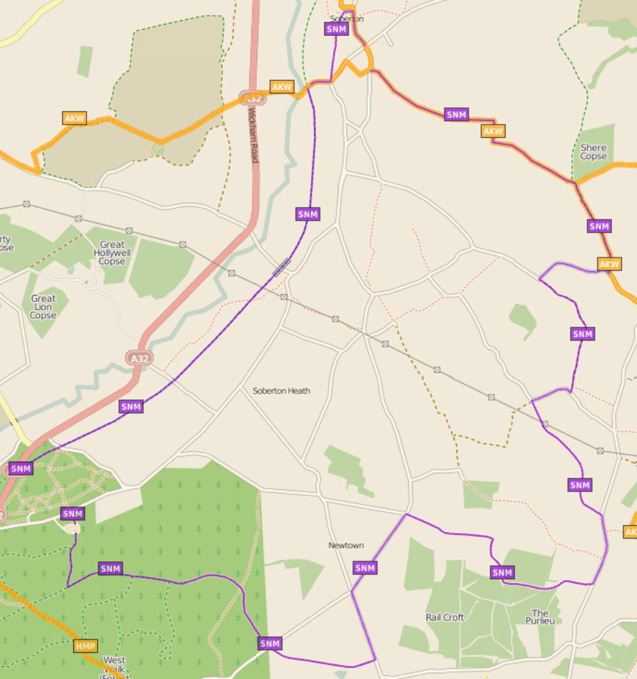
Soberton and Newtown Millennium Walk 2000
The Soberton and Newtown Millennium Walk 2000 is a 10-mile circular footpath through Hampshire, England around villages of Soberton and Newtown. Sections...
North Boarhunt
North Boarhunt is a village in the City of Winchester district of Hampshire, England. It is in the civil parish of Boarhunt. Its nearest town is Fareham...
Worlds End, Hampshire
Worlds End is a small village in the civil parish of Denmead in the City of Winchester district of Hampshire, England. The village is about 7 miles (11...
Boarhunt
Boarhunt () is a village and civil parish in the City of Winchester district of Hampshire, England, about 2 miles (3 kilometres) north-east of Fareham...
Mislingford
Mislingford is a small area around the River Meon between the village of Swanmore and the small hamlet of Kingsmead on the A32 road in the City of Winchester...
St Clair's Meadow
St Clair's Meadow is a 16-hectare (40-acre) nature reserve near Soberton in Hampshire. It is managed by the Hampshire and Isle of Wight Wildlife Trust...
Anthill Common
Anthill Common is a village in Hampshire, England. == External links == Media related to Anthill Common at Wikimedia Commons
Nearby Amenities
Located within 500m of 50.908509,-1.1332747Have you been to Knog's Lake?
Leave your review of Knog's Lake below (or comments, questions and feedback).