Hall's Copse
Wood, Forest in Hampshire Winchester
England
Hall's Copse
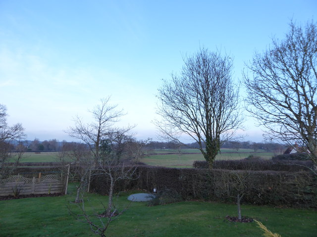
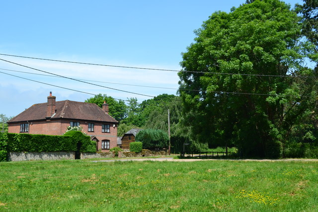
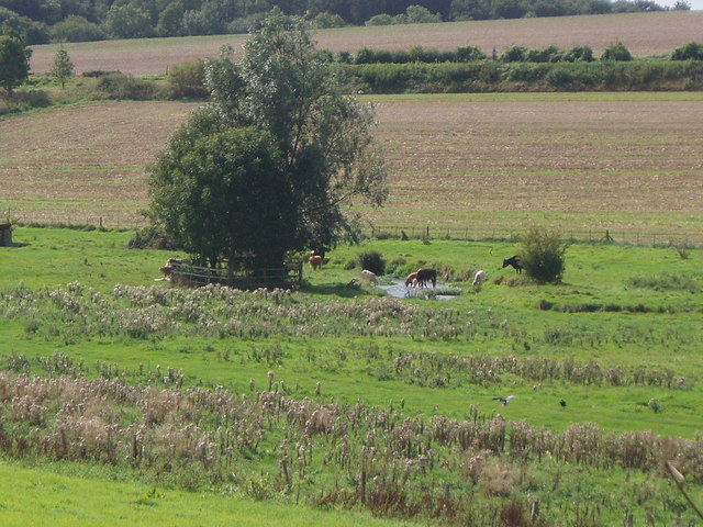
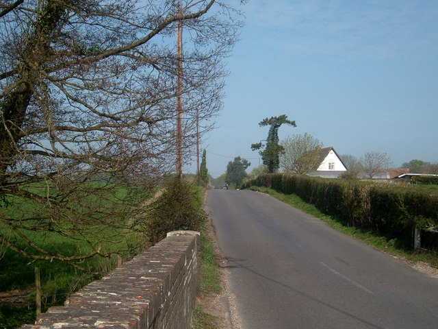
Hall's Copse is a picturesque woodland located in Hampshire, England. Covering an area of approximately 50 acres, it is a prime example of a well-preserved ancient woodland. The copse is nestled in the beautiful countryside, just a few miles away from the charming village of Hambledon.
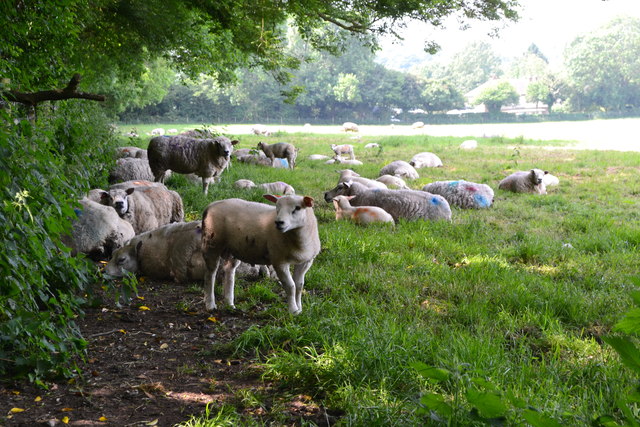
The woodland boasts a diverse range of tree species, including oak, beech, ash, and hazel, which create a rich and varied ecosystem. The dense canopy of the trees allows for limited sunlight to reach the forest floor, resulting in a unique and tranquil environment. The forest is home to a myriad of wildlife, including birds, mammals, and insects.
Visitors to Hall's Copse can enjoy a peaceful walk through its well-maintained footpaths, allowing them to immerse themselves in the natural beauty of the surroundings. The copse is especially popular during the spring months when a vibrant carpet of bluebells covers the forest floor, creating a breathtaking sight.
The woodland also offers several designated picnic areas, providing the perfect opportunity for visitors to relax and enjoy a meal amidst nature. Additionally, there are a few benches scattered throughout the copse, allowing visitors to rest and admire the scenery.
Managed by a local conservation group, Hall's Copse is a protected area, ensuring the preservation of its natural landscape and biodiversity. Regular maintenance activities such as tree thinning and path clearing are undertaken to maintain the health of the woodland.
Overall, Hall's Copse is a hidden gem in the Hampshire countryside, offering visitors a unique opportunity to escape the hustle and bustle of everyday life and immerse themselves in the tranquility and beauty of nature.
If you have any feedback on the listing, please let us know in the comments section below.
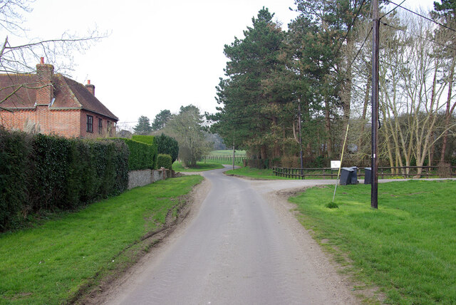
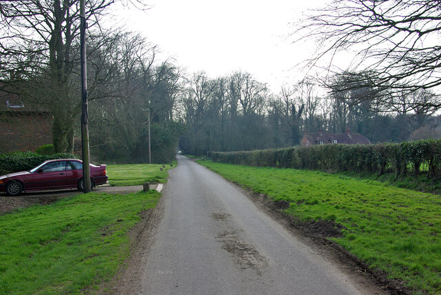
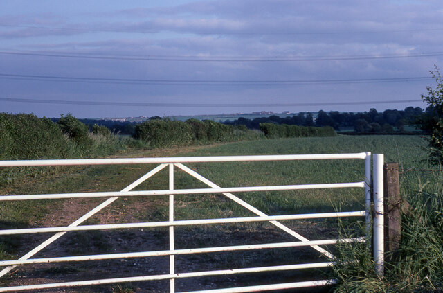
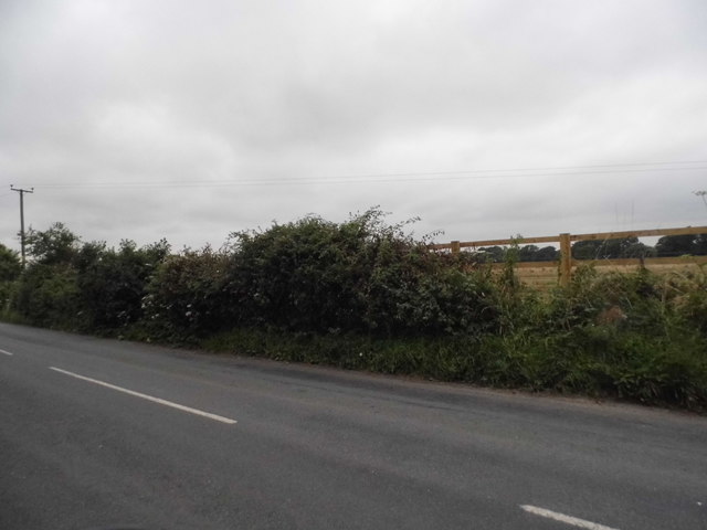
Hall's Copse Images
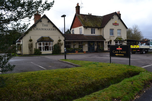
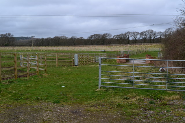
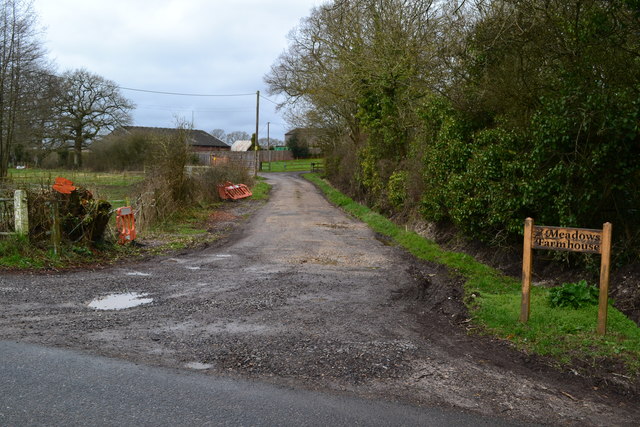
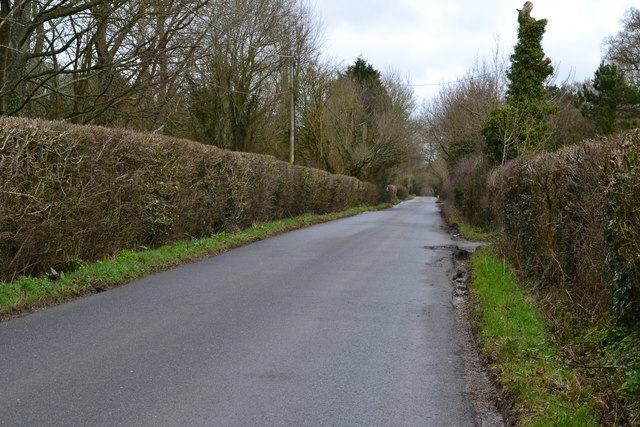
Images are sourced within 2km of 50.910598/-1.1264938 or Grid Reference SU6112. Thanks to Geograph Open Source API. All images are credited.


Hall's Copse is located at Grid Ref: SU6112 (Lat: 50.910598, Lng: -1.1264938)
Administrative County: Hampshire
District: Winchester
Police Authority: Hampshire
What 3 Words
///called.appetite.chuck. Near Denmead, Hampshire
Nearby Locations
Related Wikis
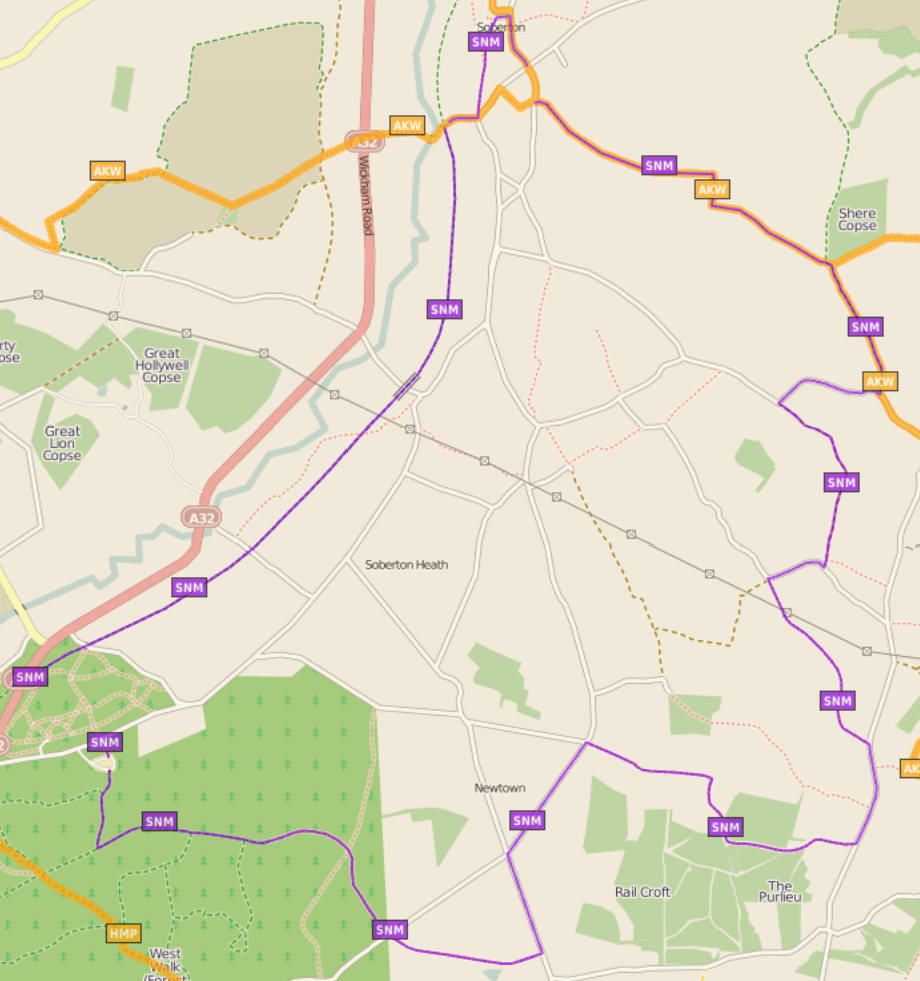
Soberton and Newtown Millennium Walk 2000
The Soberton and Newtown Millennium Walk 2000 is a 10-mile circular footpath through Hampshire, England around villages of Soberton and Newtown. Sections...
Worlds End, Hampshire
Worlds End is a small village in the civil parish of Denmead in the City of Winchester district of Hampshire, England. The village is about 7 miles (11...

Wood End, Hampshire
Wood End is a hamlet in the civil parish of Soberton in the City of Winchester district of Hampshire, England. Its nearest town is Fareham, which lies...
North Boarhunt
North Boarhunt is a village in the City of Winchester district of Hampshire, England. It is in the civil parish of Boarhunt. Its nearest town is Fareham...
Anthill Common
Anthill Common is a village in Hampshire, England. == External links == Media related to Anthill Common at Wikimedia Commons
Boarhunt
Boarhunt () is a village and civil parish in the City of Winchester district of Hampshire, England, about 2 miles (3 kilometres) north-east of Fareham...
St Clair's Meadow
St Clair's Meadow is a 16-hectare (40-acre) nature reserve near Soberton in Hampshire. It is managed by the Hampshire and Isle of Wight Wildlife Trust...
Mislingford
Mislingford is a small area around the River Meon between the village of Swanmore and the small hamlet of Kingsmead on the A32 road in the City of Winchester...
Nearby Amenities
Located within 500m of 50.910598,-1.1264938Have you been to Hall's Copse?
Leave your review of Hall's Copse below (or comments, questions and feedback).