Park Wood
Wood, Forest in Nottinghamshire
England
Park Wood
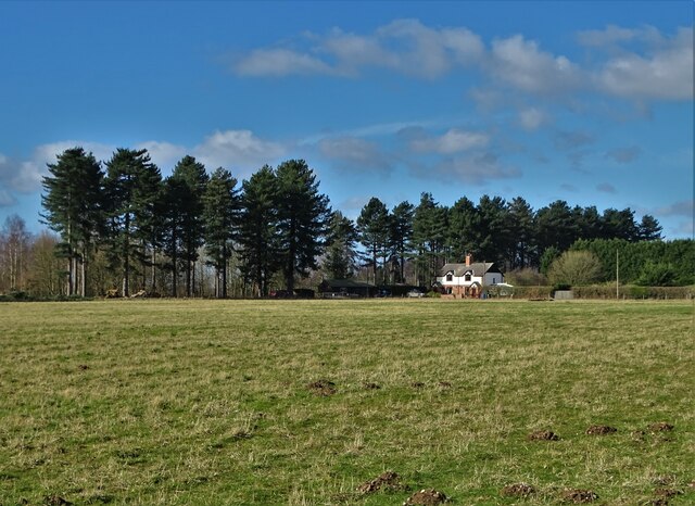
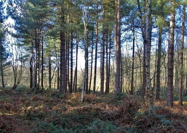
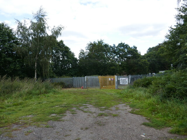
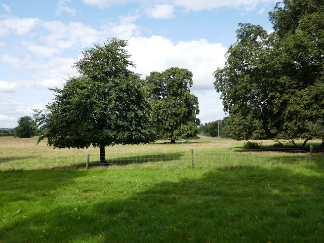
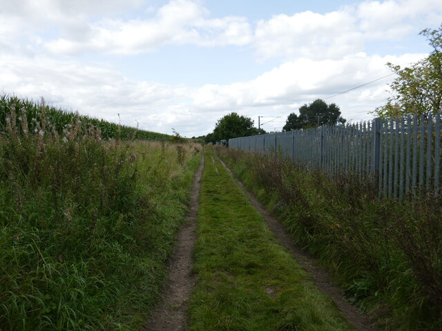
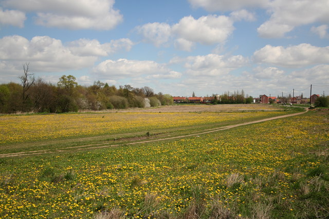
Park Wood is a picturesque woodland located in Nottinghamshire, England. Covering an area of approximately 200 acres, it is a popular destination for nature lovers and outdoor enthusiasts. The wood is characterized by its dense tree cover, predominantly consisting of oak, birch, and beech trees.
The wood is home to a diverse range of wildlife, including various bird species such as woodpeckers, owls, and thrushes. Additionally, small mammals like squirrels, rabbits, and foxes can often be spotted within the wood.
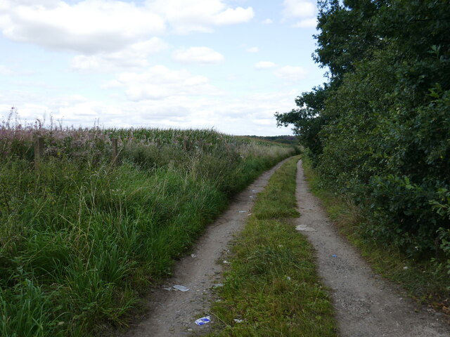
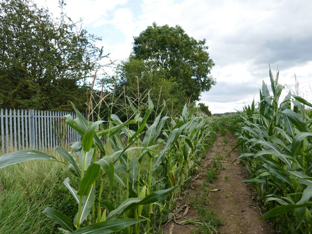
Park Wood offers a network of well-maintained paths and trails, making it a great spot for walking, jogging, and cycling. The paths wind through the woodland, providing visitors with stunning views of the surrounding forest. There are also several picnic areas and benches where visitors can relax and enjoy the peaceful ambiance.
The wood is managed by a local conservation authority, ensuring its preservation and protection. This includes regular tree maintenance and the implementation of sustainable practices to maintain the ecological balance of the wood.
In addition to its natural beauty, Park Wood holds historical significance. It is believed that the wood has been in existence since medieval times, and remnants of ancient earthworks can still be seen within its boundaries.
Overall, Park Wood offers a tranquil escape from the hustle and bustle of urban life, providing visitors with an opportunity to immerse themselves in nature and enjoy the serene surroundings.
If you have any feedback on the listing, please let us know in the comments section below.
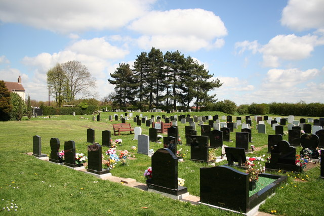
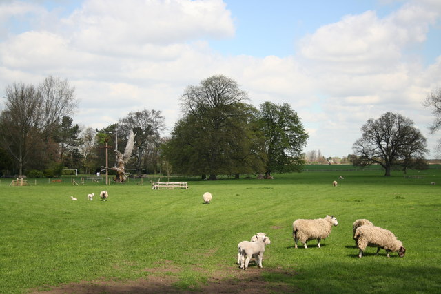
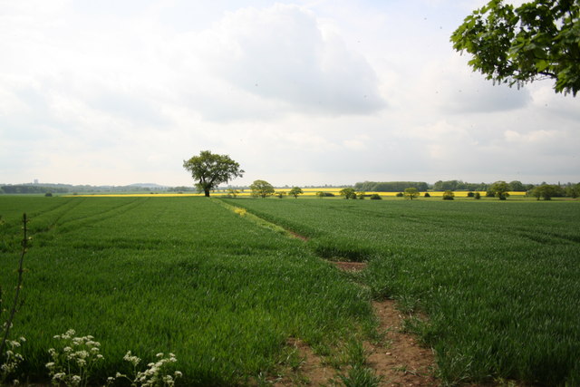
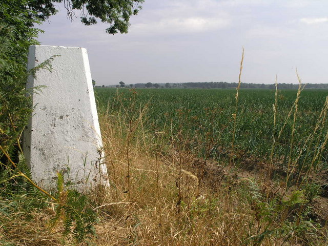
Park Wood Images
Images are sourced within 2km of 53.457315/-1.0752056 or Grid Reference SK6196. Thanks to Geograph Open Source API. All images are credited.


Park Wood is located at Grid Ref: SK6196 (Lat: 53.457315, Lng: -1.0752056)
Unitary Authority: Doncaster
Police Authority: South Yorkshire
What 3 Words
///minder.clusters.mingles. Near Rossington, South Yorkshire
Nearby Locations
Related Wikis

Rossington All Saints Academy
Rossington All Saints Academy is a coeducational secondary school and sixth form located in Rossington, South Yorkshire, England.Originally known as Rossington...

Rossington
Rossington is a civil parish and former mining village in the Metropolitan Borough of Doncaster in South Yorkshire, England and is surrounded by countryside...

Rossington railway station
Rossington was a railway station which served the village of Rossington on the Great Northern Railway's main line some 5.5 miles (9 km) south of Doncaster...

Rossington Main F.C.
Rossington Main Football Club is an English football club based in Rossington, Doncaster, South Yorkshire. They play in the Northern Counties East League...
Doncaster Rovers Belles L.F.C.
Doncaster Rovers Belles Ladies Football Club, previously Doncaster Belles, is an English women's football club that currently plays in the FA Women's National...
Doncaster iPort
Doncaster iPort or Doncaster Inland Port is an intermodal rail terminal; a Strategic Rail Freight Interchange, under construction in Rossington, Doncaster...
RAF Bircotes
Royal Air Force Bircotes or more simply RAF Bircotes is a former Royal Air Force satellite airfield located within South Yorkshire, England. Although it...
Tickhill and Wadworth railway station
Tickhill and Wadworth railway station, originally simply known as Tickhill, was located where the road linking the town of Tickhill and the village of...
Nearby Amenities
Located within 500m of 53.457315,-1.0752056Have you been to Park Wood?
Leave your review of Park Wood below (or comments, questions and feedback).