John Merricks' Lake

Lake, Pool, Pond, Freshwater Marsh in Leicestershire Charnwood

England

John Merricks' Lake

Weir on the River Soar The weir maintains water levels in the Grand Union Canal which is just out of the  picture to the right.
Weir on the River Soar Credit: Jonathan Thacker

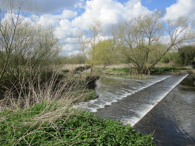
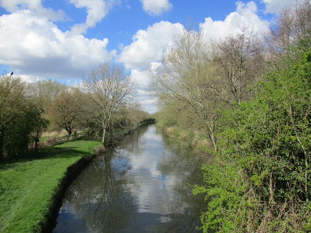
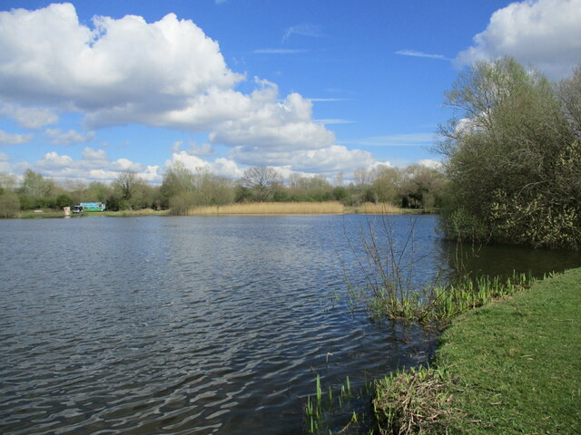
John Merricks' Lake is a picturesque freshwater body located in Leicestershire, England. This serene lake is nestled amidst the beautiful countryside, offering a tranquil retreat for nature enthusiasts and locals alike. Spanning over an area of approximately 5 acres, it is a haven for various aquatic species and a sanctuary for migratory birds.

The lake itself is a result of a disused gravel pit, which has been transformed into a stunning water feature. Its crystal-clear waters are home to a diverse range of fish, including carp, roach, perch, and tench, making it a popular spot for fishing enthusiasts. The lake's depth varies, with some areas reaching up to 6 meters, providing an ideal habitat for the aquatic life it supports.

Surrounding the lake, one can find a lush ecosystem of vegetation, including reeds, bulrushes, and water lilies. This creates a vibrant and attractive environment, attracting a plethora of bird species. The lake serves as a vital stopover for migratory birds, making it a birdwatcher's paradise. Visitors can spot a variety of birds, such as kingfishers, herons, swans, and ducks, as they gracefully glide across the calm waters or nest in the surrounding trees.

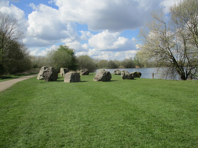
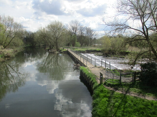
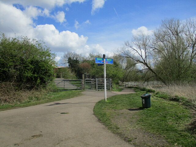
John Merricks' Lake offers more than just scenic beauty and wildlife. It provides opportunities for recreational activities like boating and kayaking, allowing visitors to explore the lake at their leisure. Additionally, there are well-maintained walking trails, picnic areas, and benches, making it an ideal destination for a day out in nature.

Overall, John Merricks' Lake is a hidden gem in Leicestershire, offering a harmonious blend of natural beauty, biodiversity, and recreational opportunities. Whether one seeks a peaceful retreat, an angler's paradise, or a birdwatcher's delight, this lake is sure to captivate all who visit.

If you have any feedback on the listing, please let us know in the comments section below.

John Merricks' Lake Images

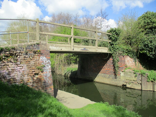
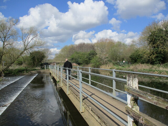
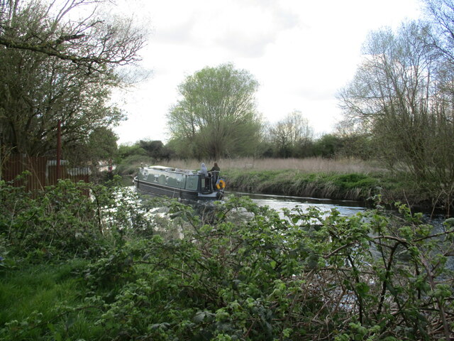
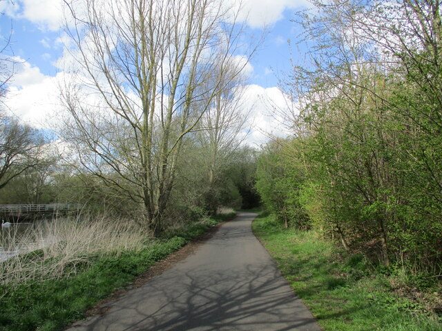
Images are sourced within 2km of 52.693729/-1.1030794 or Grid Reference SK6011. Thanks to Geograph Open Source API. All images are credited.

Weir on the River Soar The weir maintains water levels in the Grand Union Canal which is just out of the  picture to the right.
Weir on the River Soar
The weir maintains water levels in the Grand Union Canal which is just out of the picture to the right.
Stone circle, Watermead Country Park
Remains of the chapel of St. John the Evangelist, Thurmaston Probably dates from the thirteenth century <span class="nowrap"><a title="https://historicengland.org.uk/listing/the-list/list-entry/1074472?section=official-list-entry" rel="nofollow ugc noopener" href="https://historicengland.org.uk/listing/the-list/list-entry/1074472?section=official-list-entry">Link</a><img style="margin-left:2px;" alt="External link" title="External link - shift click to open in new window" src="https://s1.geograph.org.uk/img/external.png" width="10" height="10"/></span>
Remains of the chapel of St. John the Evangelist, Thurmaston
Probably dates from the thirteenth century LinkExternal link
The Top House, Thurmaston
Alexandra Street, Thurmaston
Bridge 17 (Johnson's Bridge), Grand Union Canal, Thurmaston
Footbridge above a weir River Soar to the left, Grand Union Canal to the right.
Footbridge above a weir
River Soar to the left, Grand Union Canal to the right.
Heading towards Leicester A canal boat on the Grand Union Canal at Thurmaston.
Heading towards Leicester
A canal boat on the Grand Union Canal at Thurmaston.
Footpath alongside the Grand Union Canal, Thurmaston
The Grand Union Canal at Thurmaston Looking northwards from Bridge 17 (Johnson's Bridge).
The Grand Union Canal at Thurmaston
Looking northwards from Bridge 17 (Johnson's Bridge).
Weir and footbridge The footbridge crosses the River Soar and the point where it and the Grand Union Canal part company.
Weir and footbridge
The footbridge crosses the River Soar and the point where it and the Grand Union Canal part company.
Meeting of paths Looking towards Bridge 17 over the Grand Union Canal. A footrbridge over a weir can be seen on the right of the picture.
Meeting of paths
Looking towards Bridge 17 over the Grand Union Canal. A footrbridge over a weir can be seen on the right of the picture.
Former gravel pit and reed bed, Watermead Country Park
Victorian cottages, Melton Road, Thurmaston
The Green, Syston Green it isn't.
The Green, Syston
Green it isn't.
Thatched cottages, Syston Closest to the camera is 10 The Green <span class="nowrap"><a title="https://historicengland.org.uk/listing/the-list/list-entry/1307272?section=official-list-entry" rel="nofollow ugc noopener" href="https://historicengland.org.uk/listing/the-list/list-entry/1307272?section=official-list-entry">Link</a><img style="margin-left:2px;" alt="External link" title="External link - shift click to open in new window" src="https://s1.geograph.org.uk/img/external.png" width="10" height="10"/></span>
Beyond is 2 Bath Street <span class="nowrap"><a title="https://historicengland.org.uk/listing/the-list/list-entry/1074457?section=official-list-entry" rel="nofollow ugc noopener" href="https://historicengland.org.uk/listing/the-list/list-entry/1074457?section=official-list-entry">Link</a><img style="margin-left:2px;" alt="External link" title="External link - shift click to open in new window" src="https://s1.geograph.org.uk/img/external.png" width="10" height="10"/></span>
Thatched cottages, Syston
Closest to the camera is 10 The Green LinkExternal link Beyond is 2 Bath Street LinkExternal link
57 High Street, Syston Early seventeenth century house <span class="nowrap"><a title="https://historicengland.org.uk/listing/the-list/list-entry/1074465?section=official-list-entry" rel="nofollow ugc noopener" href="https://historicengland.org.uk/listing/the-list/list-entry/1074465?section=official-list-entry">Link</a><img style="margin-left:2px;" alt="External link" title="External link - shift click to open in new window" src="https://s1.geograph.org.uk/img/external.png" width="10" height="10"/></span>
57 High Street, Syston
Early seventeenth century house LinkExternal link
North east corner of The Green, Syston Looking into Lower Church Street.
North east corner of The Green, Syston
Looking into Lower Church Street.
Show me another place!

John Merricks' Lake is located at Grid Ref: SK6011 (Lat: 52.693729, Lng: -1.1030794)

Administrative County: Leicestershire

District: Charnwood

Police Authority: Leicestershire

What 3 Words

///sulk.fool.basic. Near Syston, Leicestershire

Related Wikis

Watermead Country Park

The Watermead Country Park is a network of artificial lakes in the valley of the River Soar and the old Grand Union Canal, in and to the north of Leicester...

Wanlip Hall

Wanlip Hall was a large house in Wanlip near the English city of Leicester. It was the ancestral home of the Palmer family. The building was demolished...

Wanlip Meadows

Wanlip Meadows is a 16.2 hectares (40 acres) nature reserve south of Wanlip and north of Leicester. It is owned and managed by the Leicestershire and...

Wanlip

Wanlip is a small village and civil parish in the Charnwood district of Leicestershire, with a population measured at 305 at the 2011 census. It is a...

Nearby Amenities

Located within 500m of 52.693729,-1.1030794
Motorway Junction
Lat/Long: 52.6940365/-1.0965316
Pub
Hope & Anchor
Lat/Long: 52.6965822/-1.0994939
Barrier: lift_gate
Lat/Long: 52.6967415/-1.1036223
Barrier: cycle_barrier
Lat/Long: 52.6960029/-1.1007176
Mini Roundabout
Lat/Long: 52.6965803/-1.1041441
Water Point
Hope and Anchor PH Water Point
Access: permissive
Centralkey: crt_watermate
Drinking Water: yes
Man Made: water_tap
Operator: Canal and River Trust
Waterway: water_point
Lat/Long: 52.6970835/-1.0998966
Tourism: viewpoint
Lat/Long: 52.6965513/-1.1057847
Motorway Junction
Lat/Long: 52.692804/-1.0968519
Millennium Milepost Wanlip Park
Description: 1) To Lincoln, Syston church 2.25 2) To Exeter, Leicester west bridge 6
Image: https://www.cyclestreets.net/location/194751/cyclestreets194751-size640.jpg
Information: guidepost
Ncn Milepost: dudgeon
Note: This post is originally from Linconshire and was found on a scrapheap, repaired and re-installed here, full story can be read here: leicestersustransrangers.blogspot.co.uk/2013/06/milepost-reincarnation-1.html
Start Date: 2013
Sustrans Ref: Unkown
Tourism: information
Lat/Long: 52.68945/-1.1029767
Barrier: yes
Lat/Long: 52.6907508/-1.103117
Barrier: debris
Lat/Long: 52.6915119/-1.1027563
The data included in this document is from www.openstreetmap.org. The data is made available under ODbL.

Have you been to John Merricks' Lake?

Leave your review of John Merricks' Lake below (or comments, questions and feedback).