Loch of Cliff

Lake, Pool, Pond, Freshwater Marsh in Shetland

Scotland

Loch of Cliff

Petester from Cliff, beside Loch of Cliff
Petester from Cliff, beside Loch of Cliff Credit: Mike Pennington

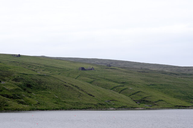
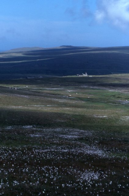
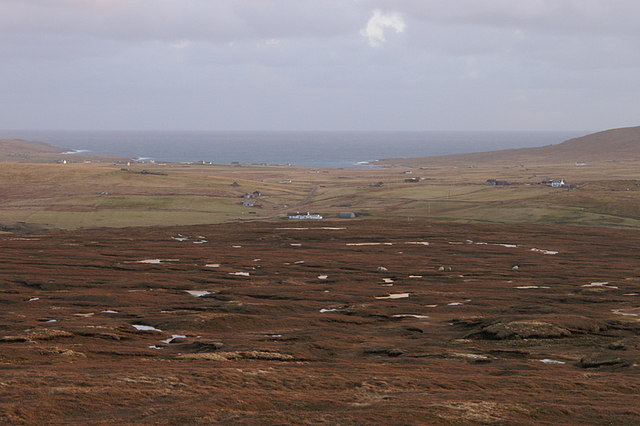
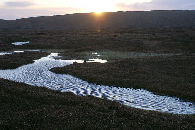
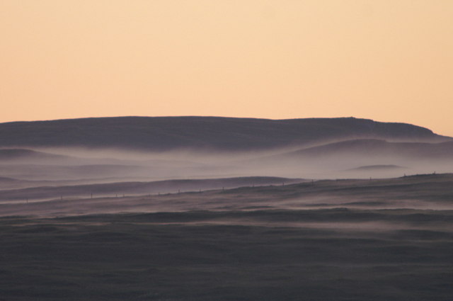
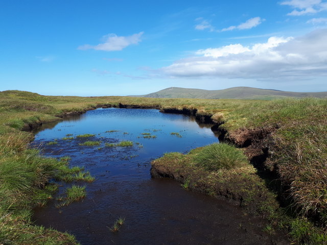
Loch of Cliff, located in the Shetland Islands of Scotland, is a serene and picturesque freshwater loch encompassing an area of approximately 48 hectares. Nestled amidst rolling hills and heather-covered moorlands, the loch is a captivating natural feature that attracts both locals and tourists alike.

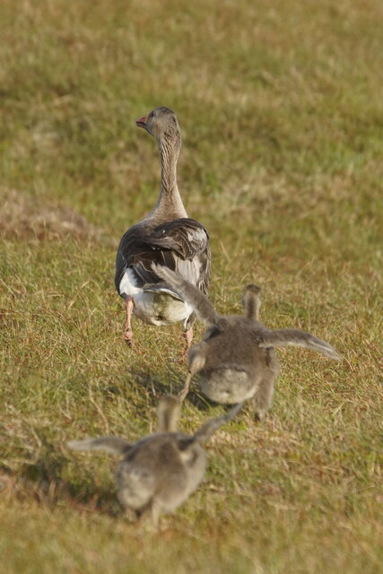
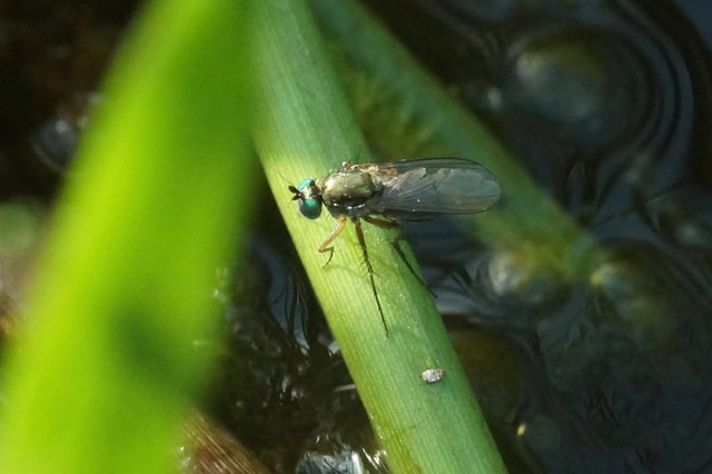
Surrounded by a diverse array of flora and fauna, Loch of Cliff serves as a vital habitat for numerous species. The loch's brackish waters are home to a variety of freshwater fish, including brown trout, which make it an appealing destination for anglers. Additionally, the loch provides an important breeding ground for waterfowl such as mallards, tufted ducks, and greylag geese, offering ample opportunities for birdwatching enthusiasts.

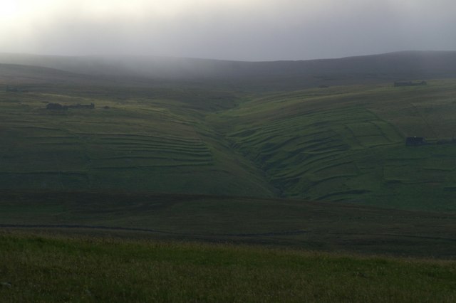
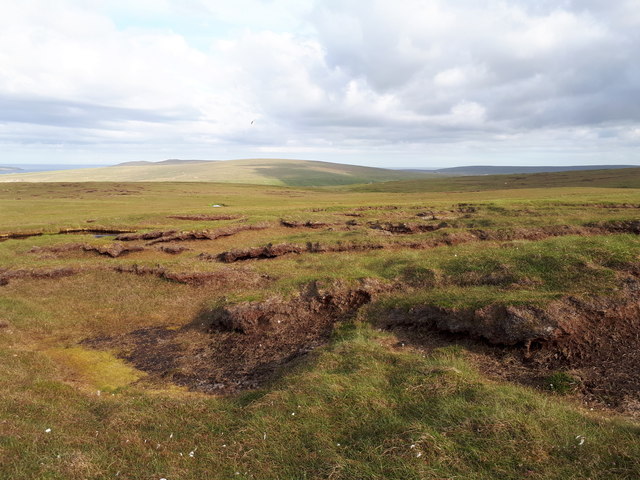
The landscape surrounding Loch of Cliff is characterized by its rugged beauty, with rocky outcrops jutting out of the water and lush vegetation lining the shoreline. The loch is further adorned by the presence of water lilies and reeds, creating a tranquil and picturesque setting.

Access to Loch of Cliff is facilitated by a network of paths and tracks that traverse the surrounding countryside, allowing visitors to explore the area on foot or by bike. The tranquil ambiance of the loch makes it an ideal spot for nature lovers seeking solace and relaxation amidst Scotland's breathtaking scenery.

Overall, Loch of Cliff in Shetland offers a captivating blend of natural beauty, diverse wildlife, and tranquility, making it a must-visit destination for those exploring the enchanting Shetland Islands.

If you have any feedback on the listing, please let us know in the comments section below.

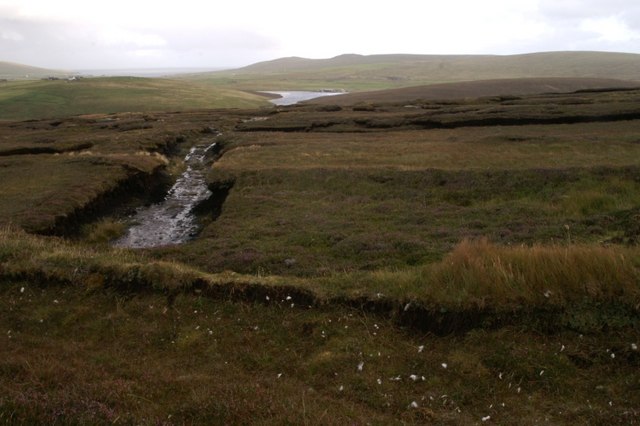
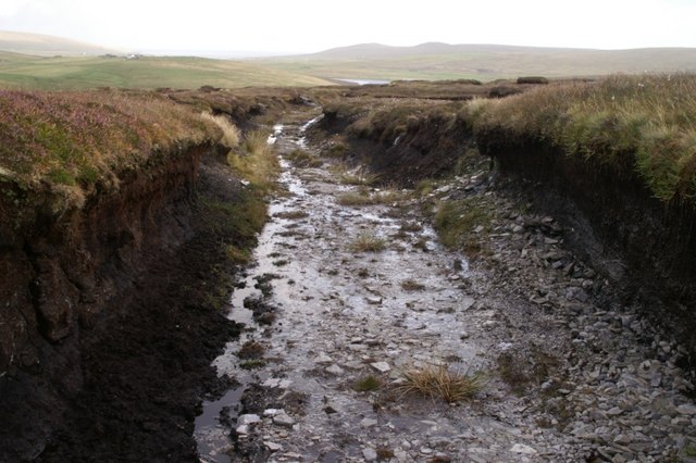
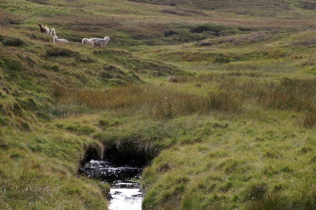
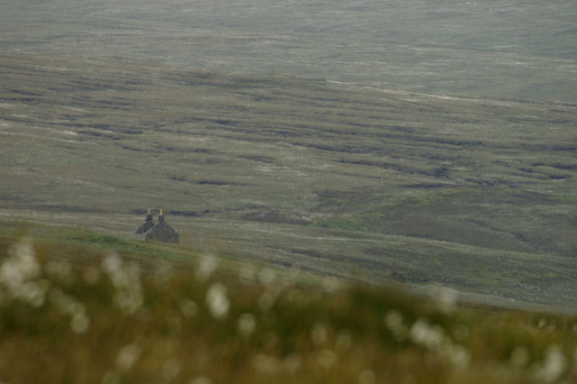
Loch of Cliff Images

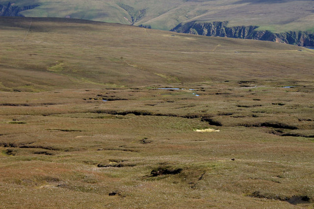
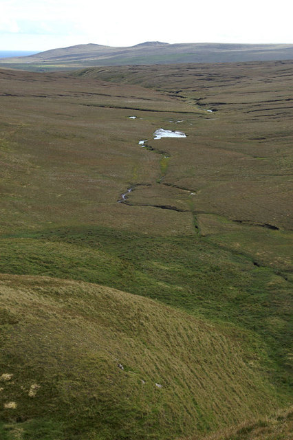
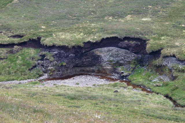
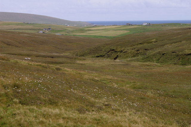
Images are sourced within 2km of 60.800776/-0.88577794 or Grid Reference HP6013. Thanks to Geograph Open Source API. All images are credited.

Petester from Cliff, beside Loch of Cliff
Greylag Geese (Anser anser), Hermaness Flushed while surveying areas for dead Great Skuas under contract to assess HPAI.
Greylag Geese (Anser anser), Hermaness
Flushed while surveying areas for dead Great Skuas under contract to assess HPAI.
Petester Looking across Stivla Mires towards the abandoned village of Petester, with Crussa Field and the Heogs in the distance.
Petester
Looking across Stivla Mires towards the abandoned village of Petester, with Crussa Field and the Heogs in the distance.
The abandoned village of Petester From Crussa Field.
The abandoned village of Petester
From Crussa Field.
Abandoned peat-workings at the south end of Hermaness NNR Peats have not been cut here since the 1980s.
Abandoned peat-workings at the south end of Hermaness NNR
Peats have not been cut here since the 1980s.
Peat track at the south end of Hermaness NNR The peat here is only about a metre thick, and the track has been cut down to the bedrock.
Peat track at the south end of Hermaness NNR
The peat here is only about a metre thick, and the track has been cut down to the bedrock.
Milldale Burn Milldale on the map, but known as Tonga Daal locally.
Milldale Burn
Milldale on the map, but known as Tonga Daal locally.
Petester One of the ruined houses at Petester, a small village which was inhabited until the 1970s.
Petester
One of the ruined houses at Petester, a small village which was inhabited until the 1970s.
Blanket bog at the south end of Hermaness NNR With the slopes of Saxa Vord in the distance.
Blanket bog at the south end of Hermaness NNR
With the slopes of Saxa Vord in the distance.
Haila Leog A small pool which drains to the Ayre of Tonga, with the hills of the Heogs in the distance.
Haila Leog
A small pool which drains to the Ayre of Tonga, with the hills of the Heogs in the distance.
Erosion along the Milldale Burn The burn has cut away at the soil to reveal a relatively thin layer of peat overlying a grey, stone-filled soil (glacial till?) and a sandy subsoil at the bottom.
Erosion along the Milldale Burn
The burn has cut away at the soil to reveal a relatively thin layer of peat overlying a grey, stone-filled soil (glacial till?) and a sandy subsoil at the bottom.
Looking down Milldale Some of the houses at Burrafirth can be seen in the distance and the Hill of Clibberswick is in the far distance on the left. Although named Milldale on the maps, it is known as Tonga Daal locally ('daal' is Shetlandic for dale or valley).
Looking down Milldale
Some of the houses at Burrafirth can be seen in the distance and the Hill of Clibberswick is in the far distance on the left. Although named Milldale on the maps, it is known as Tonga Daal locally ('daal' is Shetlandic for dale or valley).
View east from Mill Field, Hermaness Looking across the moorland on the ridge between Hoveburn and Milldale. The white house in the centre is Lower Sotland at Burrafirth with a view right across to Harold's Wick.
View east from Mill Field, Hermaness
Looking across the moorland on the ridge between Hoveburn and Milldale. The white house in the centre is Lower Sotland at Burrafirth with a view right across to Harold's Wick.
Sunset on Hermaness The sun slides behind Libbers Hill as the sky still reflects in a small pool above Hoveburn.
Sunset on Hermaness
The sun slides behind Libbers Hill as the sky still reflects in a small pool above Hoveburn.
Mist over Milldale, Hermaness Daala mist rising from the valley of Milldale at dusk.
Mist over Milldale, Hermaness
Daala mist rising from the valley of Milldale at dusk.
A Dolichopus sp. fly, Milldale, Hermaness Small but rather attractive flies.
A Dolichopus sp. fly, Milldale, Hermaness
Small but rather attractive flies.
Moorland west of Petester
Lochan on the east flanks of Libbers Hill
Show me another place!

Loch of Cliff is located at Grid Ref: HP6013 (Lat: 60.800776, Lng: -0.88577794)

Unitary Authority: Shetland Islands

Police Authority: Highlands and Islands

What 3 Words

///horn.snows.liquid. Near Haroldswick, Shetland Islands

Nearby Locations

Loch of Cliff

Related Wikis

Burrafirth

Burrafirth links (Old Norse: Borgarfjorðr, meaning "the fjord with a castle") is a strip of land with a few houses on the island of Unst, Shetland, Scotland...

Haroldswick

Haroldswick or Harold's Wick (Old Norse: Haraldsvík, 'Harald's bay'), is on Unst, Shetland Islands, Scotland, and is one of the most northerly settlements...

Valhalla Brewery

The Valhalla Brewery in Unst, Shetland, Scotland, was the northernmost brewery in the United Kingdom. It was opened by the husband and wife team Sonny...

Saxa Vord distillery

Saxa Vord distillery is a Scotch whisky and gin distillery on the island of Unst, part of the Shetland islands. The distillery takes its name from its...

Nearby Amenities

Located within 500m of 60.800776,-0.88577794
Barrier: cattle_grid
Lat/Long: 60.8028619/-0.8829369
Passing Place
Lat/Long: 60.8024527/-0.8818818
Passing Place
Lat/Long: 60.8018924/-0.8771639
Passing Place
Lat/Long: 60.8023214/-0.8777716
Power: pole
Lat/Long: 60.8045453/-0.8832262
Power: pole
Lat/Long: 60.8040063/-0.8837412
Power: pole
Lat/Long: 60.8034541/-0.8842481
Power: pole
Lat/Long: 60.8029347/-0.883312
Power: pole
Lat/Long: 60.8023825/-0.8823089
Power: pole
Lat/Long: 60.8019324/-0.8814827
Power: pole
Lat/Long: 60.8014025/-0.8805574
Power: pole
Lat/Long: 60.8008228/-0.8795194
Power: pole
Lat/Long: 60.8002746/-0.8785216
Power: pole
Lat/Long: 60.8000011/-0.8778483
Power: pole
Lat/Long: 60.7996347/-0.8769605
Passing Place
Lat/Long: 60.8025115/-0.8800584
Waste Basket
Lat/Long: 60.8025404/-0.88023
Power: pole
Lat/Long: 60.7992969/-0.877558
Power: pole
Lat/Long: 60.7991542/-0.8775393
Power: pole
Lat/Long: 60.7991582/-0.8784056
Power: pole
Lat/Long: 60.8011385/-0.8771009
Power: pole
Lat/Long: 60.8014739/-0.8776894
Power: pole
Lat/Long: 60.8017876/-0.8782507
The data included in this document is from www.openstreetmap.org. The data is made available under ODbL.

Have you been to Loch of Cliff?

Leave your review of Loch of Cliff below (or comments, questions and feedback).