Upper Mill Pond
Lake, Pool, Pond, Freshwater Marsh in Hampshire Winchester
England
Upper Mill Pond

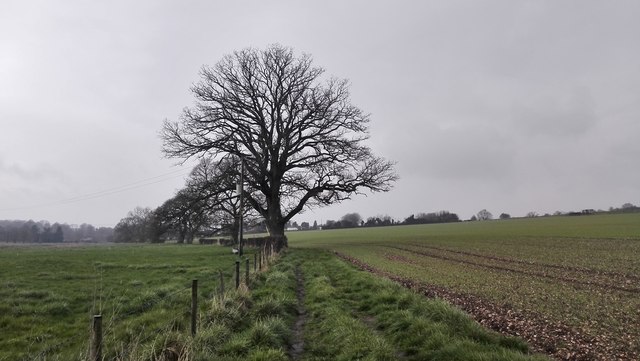
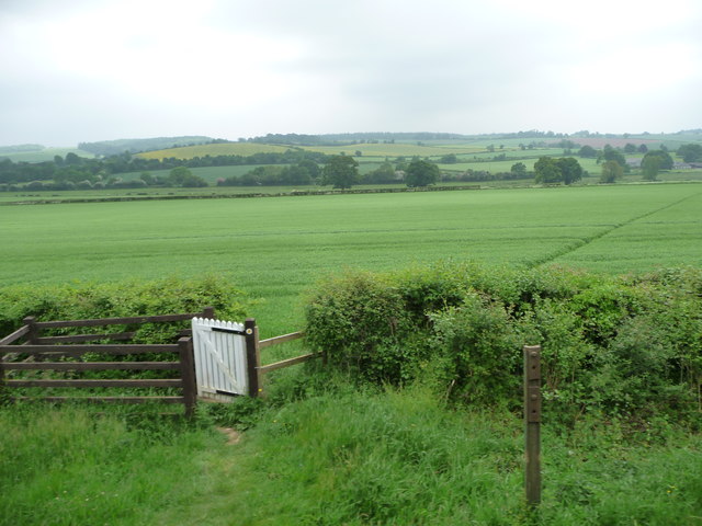
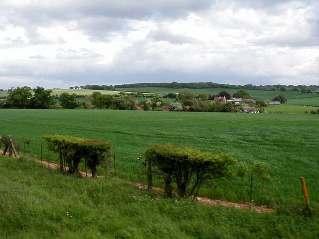
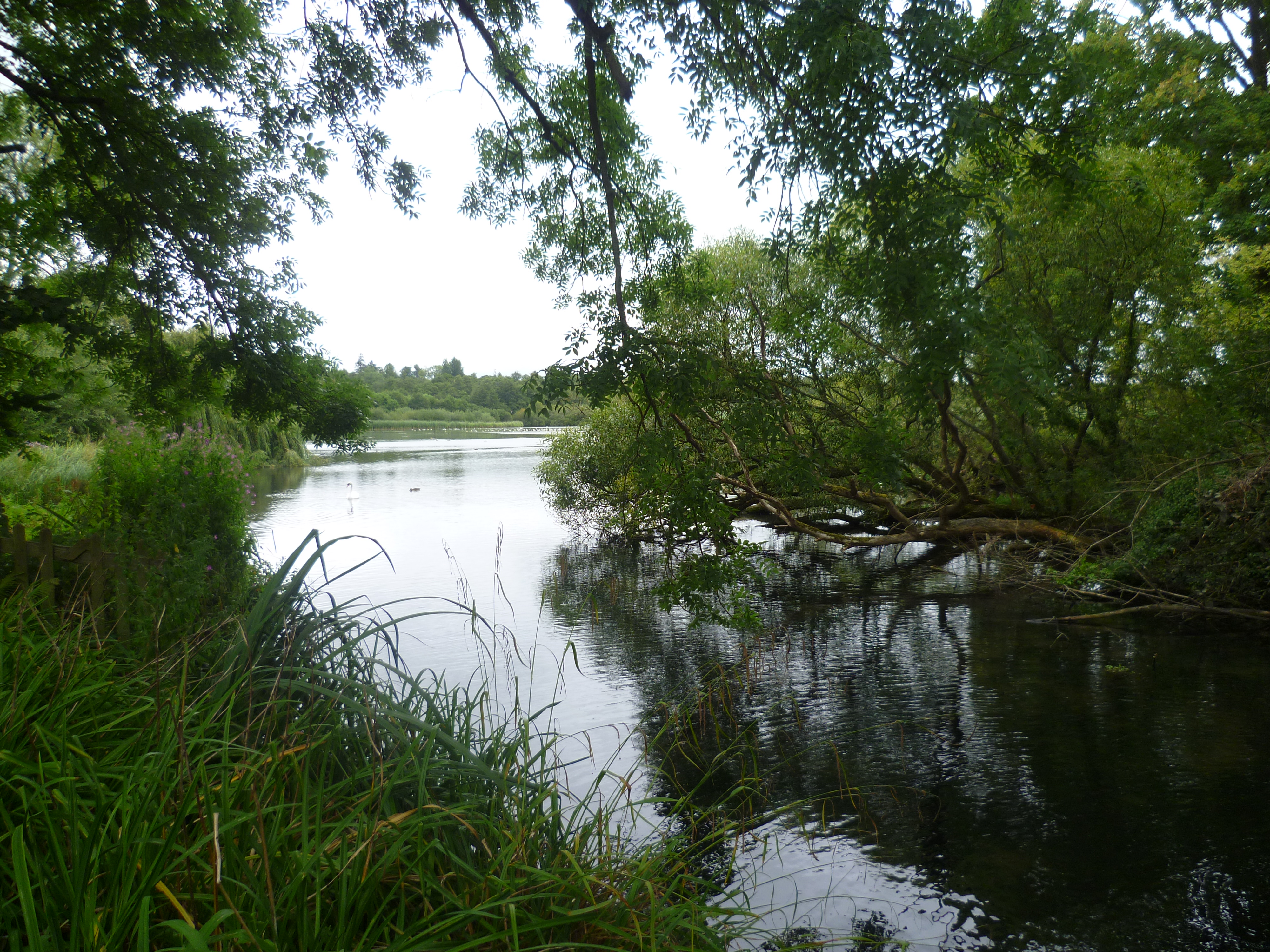
Upper Mill Pond is a picturesque body of water located in Hampshire, England. It is a freshwater pond that serves as a popular recreational spot for locals and visitors alike. Spanning an area of approximately 10 acres, the pond is nestled amidst lush green surroundings, creating a tranquil and serene atmosphere.
The water in Upper Mill Pond is clear and pristine, making it ideal for various water activities such as fishing, boating, and swimming. The pond is well-stocked with a variety of fish species, including carp, roach, and perch, attracting fishing enthusiasts from far and wide.
Surrounding the pond is a diverse range of flora and fauna, contributing to the natural beauty of the area. The pond is fringed with reed beds and water lilies, which provide a habitat for various bird species, including ducks, swans, and herons. Birdwatchers will find ample opportunities to observe and photograph these feathered residents.
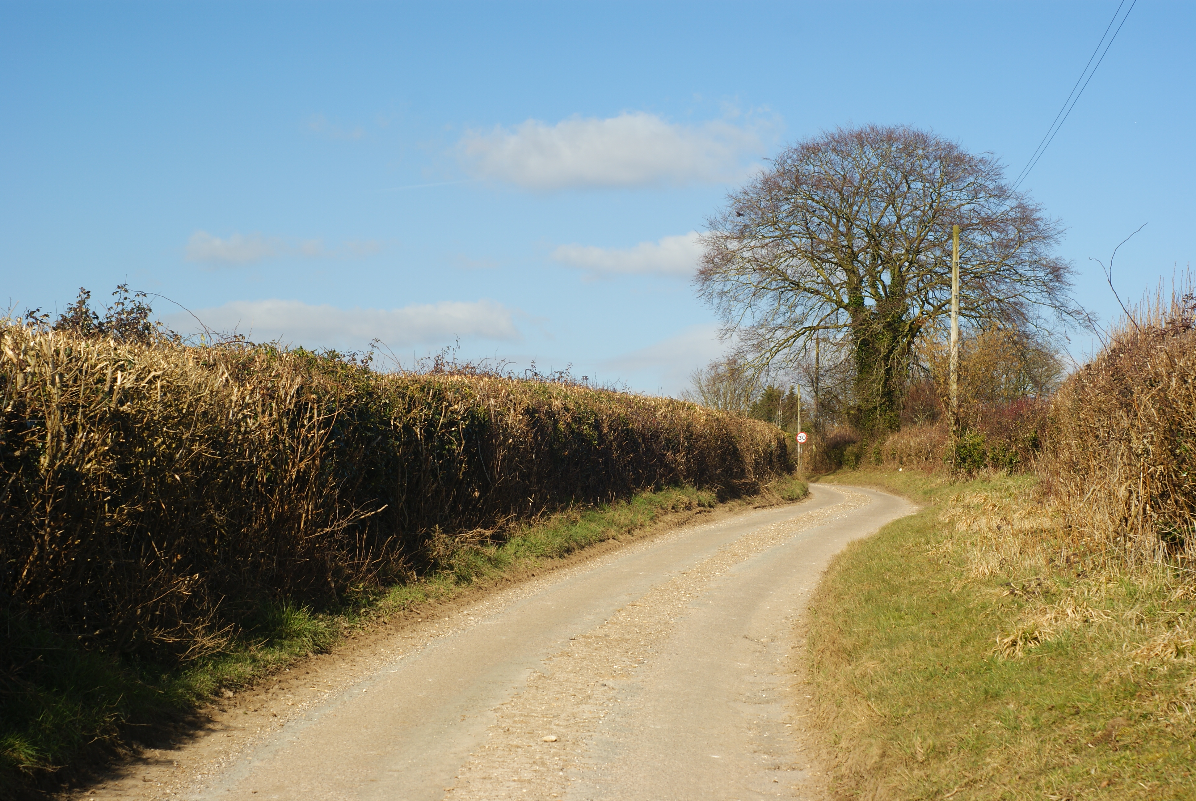
A network of walking trails surrounds the pond, allowing visitors to explore the area and appreciate its natural wonders. The trails provide scenic views of the pond and its surroundings, and there are also designated picnic areas where visitors can relax and enjoy the peaceful ambiance.
Upper Mill Pond is a haven for nature lovers and a valuable habitat for both wildlife and plant species. Its tranquil waters, diverse wildlife, and scenic beauty make it a must-visit destination for those seeking a peaceful and immersive natural experience in Hampshire.
If you have any feedback on the listing, please let us know in the comments section below.
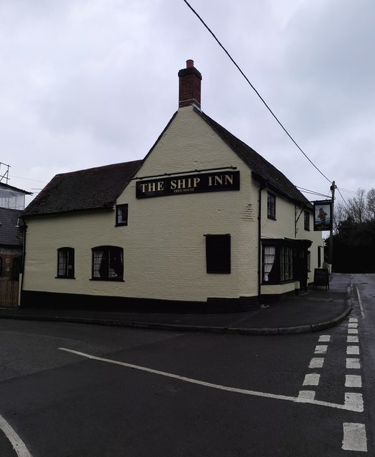
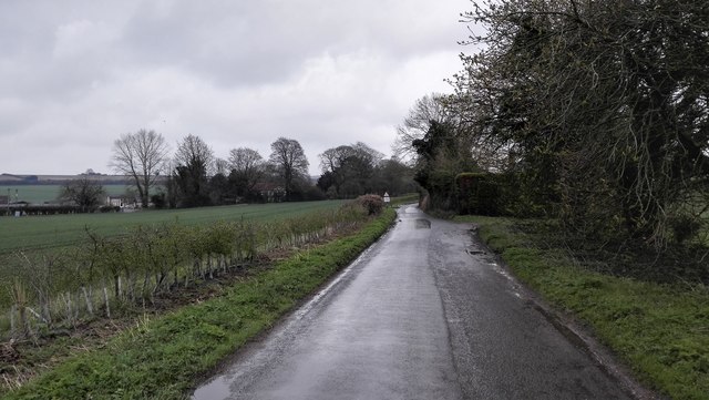
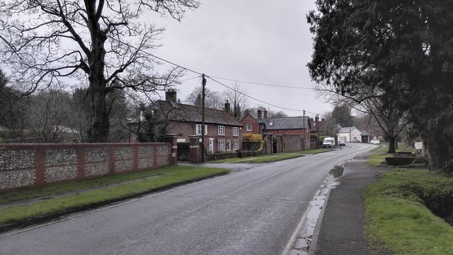
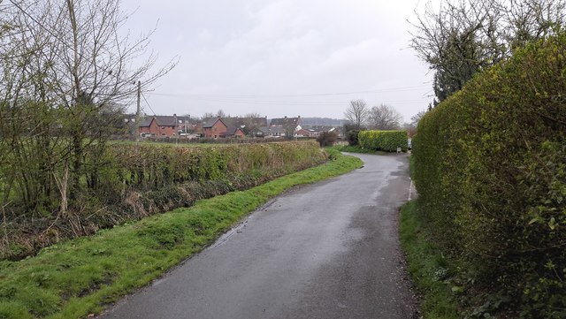
Upper Mill Pond Images
Images are sourced within 2km of 51.08621/-1.1347131 or Grid Reference SU6032. Thanks to Geograph Open Source API. All images are credited.


Upper Mill Pond is located at Grid Ref: SU6032 (Lat: 51.08621, Lng: -1.1347131)
Administrative County: Hampshire
District: Winchester
Police Authority: Hampshire
What 3 Words
///ready.internet.unsecured. Near New Alresford, Hampshire
Nearby Locations
Related Wikis
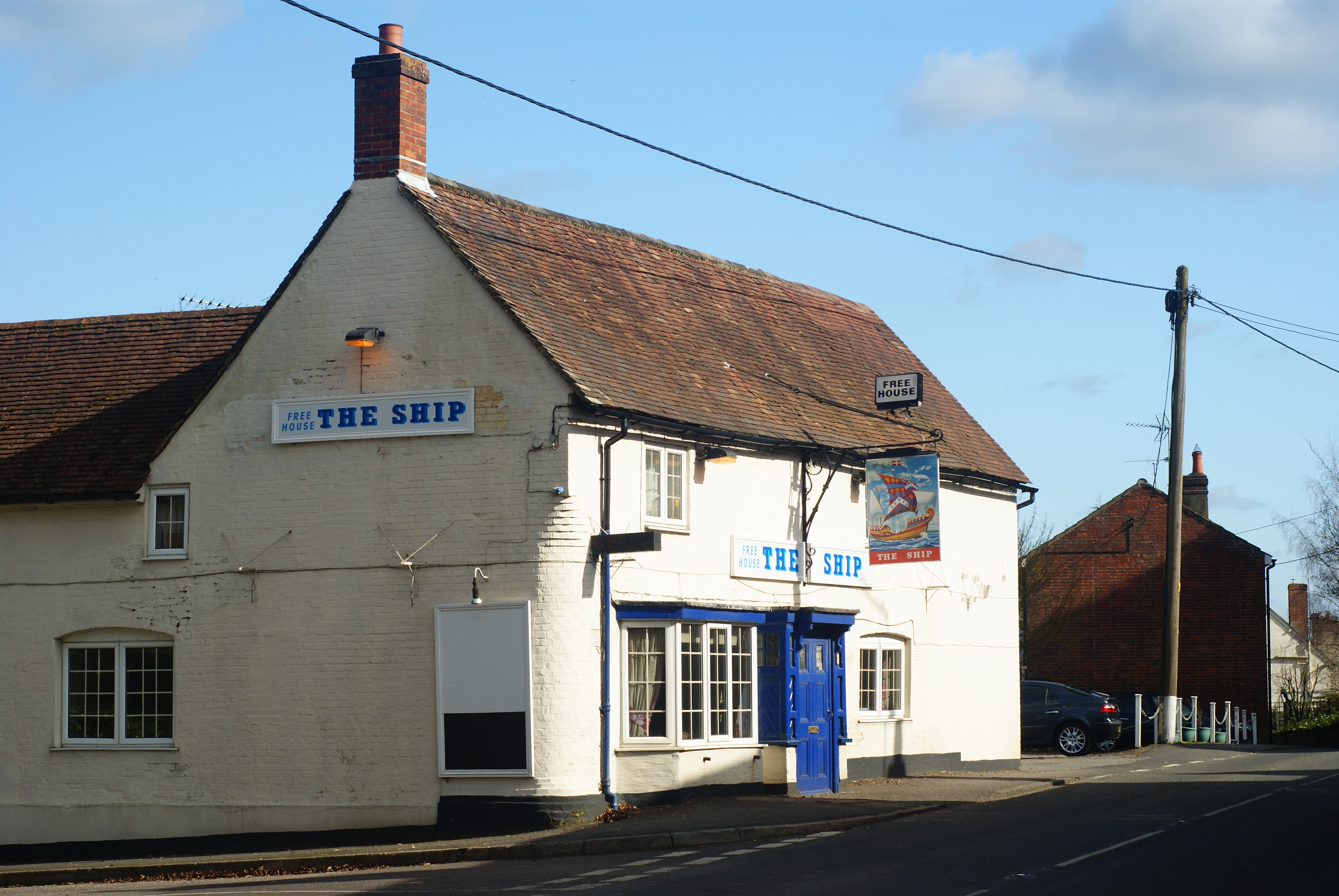
Bishops Sutton
Bishops Sutton or Bishop's Sutton is a village and civil parish one mile (1.6 km) east of the market town of Alresford in the City of Winchester district...
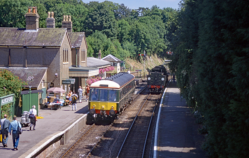
Alresford railway station (Hampshire)
Alresford railway station ( or ) in Hampshire, England, is the terminus of the Watercress Line from Alton. It is in the small town of New Alresford, 7½...
Alresford Pond
Alresford Pond is a 30.2-hectare (75-acre) biological Site of Special Scientific Interest on the north side of New Alresford in Hampshire. This large lake...

Deanery of Alresford
The Deanery of Alresford lies within the Diocese of Winchester in England. It includes the parishes of Cliddesden, Dummer, Itchen Abbas, Martyr Worthy...
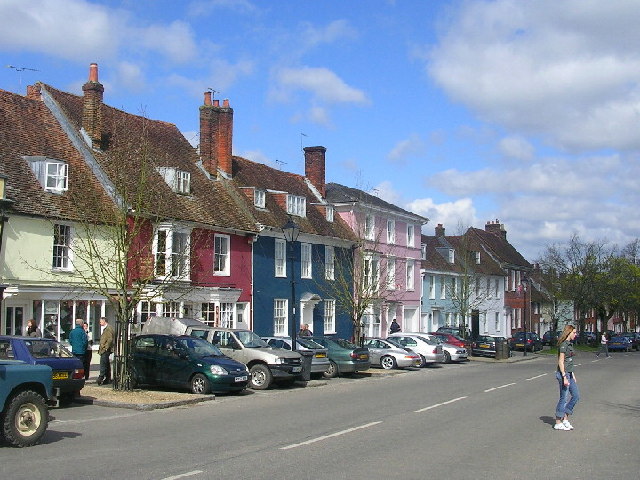
New Alresford
New Alresford or simply Alresford ( OLZ-fərd or AWLZ-fərd) is a market town and civil parish in the City of Winchester district of Hampshire, England...

Alresford Community Centre
Alresford Community Centre, formerly Alresford Town Hall, is a municipal building in West Street, New Alresford, Hampshire, England. The structure, which...
Itchin Stoke Down
Itchin Stoke Down is a rural location near the town of Alresford in Hampshire. It was used as a venue for 13 first-class cricket matches between 1778 and...
Gundleton
Gundleton is a village in Hampshire, England. It is in the civil parish of Bighton. Its nearest railway station is the restored Watercress Line in New...
Nearby Amenities
Located within 500m of 51.08621,-1.1347131Have you been to Upper Mill Pond?
Leave your review of Upper Mill Pond below (or comments, questions and feedback).