Abernant

Settlement in Denbighshire

Wales

Abernant

The River Dee from the Newbridge viaduct
The River Dee from the Newbridge viaduct Credit: Roy Hughes

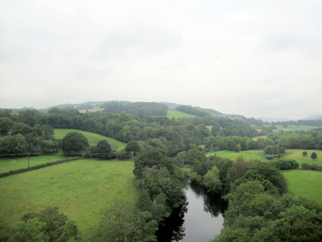
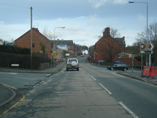
Abernant is a small village situated in the county of Denbighshire, Wales. It is located in the picturesque Vale of Clwyd, surrounded by rolling hills and stunning countryside. The village is approximately 4 miles south of the market town of Ruthin and 17 miles southwest of Denbigh.

Abernant is known for its peaceful and rural setting, offering a tranquil escape from the hustle and bustle of city life. The village is primarily residential, with a small population of around 200 residents. The community is tight-knit, with a strong sense of local pride and a friendly atmosphere.

The village is dotted with traditional Welsh stone cottages, adding to its charm and character. The surrounding landscape provides ample opportunities for outdoor activities such as hiking, cycling, and horse riding. The nearby Clwydian Range, an Area of Outstanding Natural Beauty, is a popular destination for nature enthusiasts.

Although Abernant is a small village, it benefits from its close proximity to larger towns and cities. Ruthin, the nearest town, offers a range of amenities including shops, schools, and leisure facilities. The village is also well-connected by road, with easy access to the A494 and A525, providing links to other major towns in North Wales.

Overall, Abernant is a peaceful and idyllic village nestled in the beautiful Welsh countryside. It offers a close-knit community, stunning natural surroundings, and easy access to nearby amenities, making it a desirable place to live or visit.

If you have any feedback on the listing, please let us know in the comments section below.
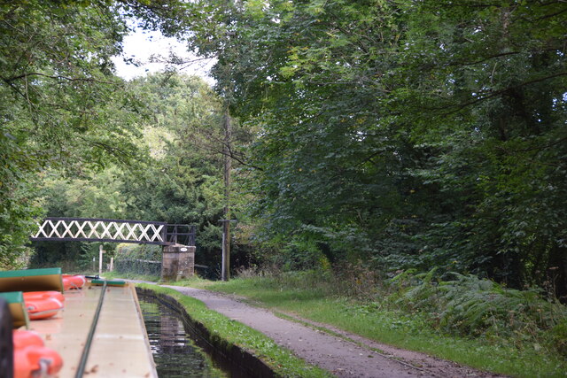
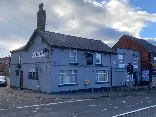
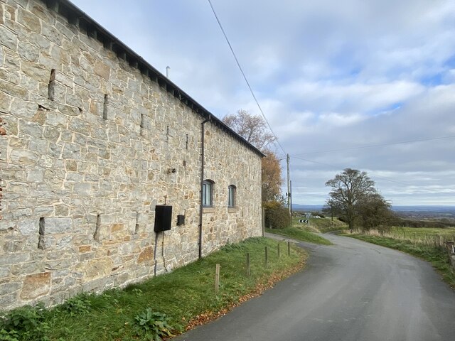
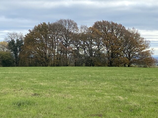
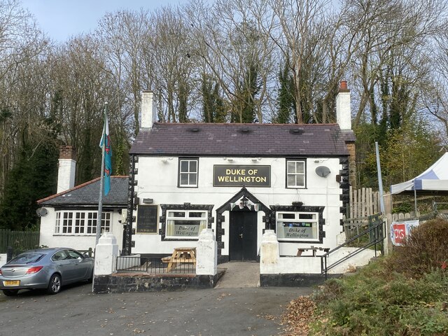
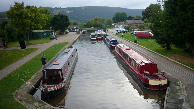
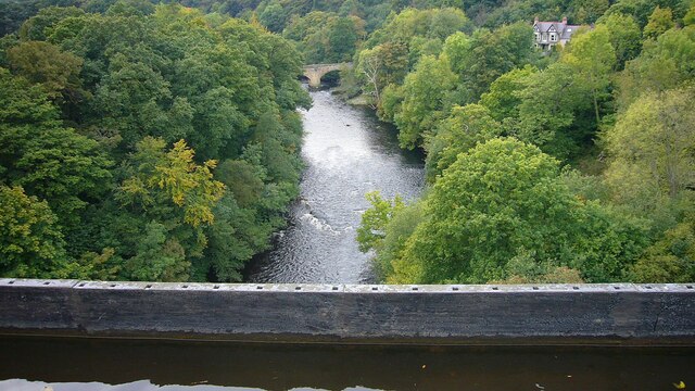
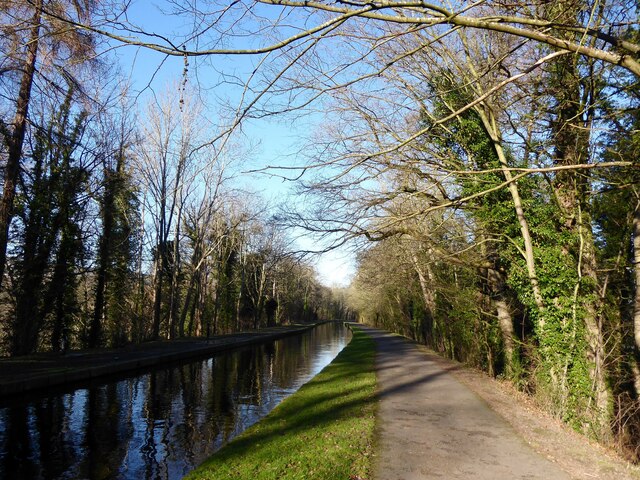
Abernant Images

Images are sourced within 2km of 52.978126/-3.079381 or Grid Reference SJ2742. Thanks to Geograph Open Source API. All images are credited.

The River Dee from the Newbridge viaduct
Trevor Basin Trevor Basin is at the northern end of the central section of what was planned as the Ellesmere Canal linking the Mersey and Severn rivers. The canal was never completed in full and Trevor Basin - just north of Pontcysyllte Aqueduct - became the northern terminus. The canal here is today named the Llangollen Canal, though the stretch from Trevor Basin to Llangollen was in fact only originally intended as a water feed to the Ellesmere canal.
Trevor Basin
Trevor Basin is at the northern end of the central section of what was planned as the Ellesmere Canal linking the Mersey and Severn rivers. The canal was never completed in full and Trevor Basin - just north of Pontcysyllte Aqueduct - became the northern terminus. The canal here is today named the Llangollen Canal, though the stretch from Trevor Basin to Llangollen was in fact only originally intended as a water feed to the Ellesmere canal.
Narrowboat on Pontcysyllte Aqueduct The highest canal aqueduct in the world, Grade I listed and a UNESCO World Heritage Site. Completed in 1805 to a design by Thomas Telford and William Jessop.
Narrowboat on Pontcysyllte Aqueduct
The highest canal aqueduct in the world, Grade I listed and a UNESCO World Heritage Site. Completed in 1805 to a design by Thomas Telford and William Jessop.
Llangollen Canal near Plas-yn-pentre Taken just east of Bridge 34W.
Llangollen Canal near Plas-yn-pentre
Taken just east of Bridge 34W.
Bridge 33W, Llangollen Canal This bridge just south of the village of Trevor is a footbridge.
Bridge 33W, Llangollen Canal
This bridge just south of the village of Trevor is a footbridge.
The Eagles Inn On the A539 in Acrefair.
The Eagles Inn
On the A539 in Acrefair.
Replacing the old reservoir New water storage tanks at Sugn-y-pwl.
Replacing the old reservoir
New water storage tanks at Sugn-y-pwl.
Barn at Pen-y-bryn The location of the old phone box, still marked on the OS map, is given by the black box on the barn wall.
Barn at Pen-y-bryn
The location of the old phone box, still marked on the OS map, is given by the black box on the barn wall.
Field and trees east of Bowers Road
The Duke of Wellington Pub adjacent to the A539.
The Duke of Wellington
Pub adjacent to the A539.
Trevor Arm, Llangollen Canal The Llangollen canal is an arm of the Shropshire Union canal that runs from Hurleston Junction to Llangollen with a wide variety of scenery along its course. Its total length is 46 miles, but the last 1½ miles from Llangollen to Llantisilio is unnavigable by any boats over about 10' length.
The canal's vital statistics for craft are:
Length 72 '
Beam 6'10"
Headroom 7'
Draught 2'3" (Hurleston to Pontcysyllte) 2' (P. to Llangollen)
These are the maximum dimensions for any craft, based on the minimum dimensions of locks & bridges.
There are a total of 21 locks on the canal, but only two between Llangollen and Whitchurch (a distance of about 31 miles). One of the most notable things about the canal is the strong flow especially in the "narrows" near Llangollen and in the tunnels near Chirk. About 12 million gallons of water passes down this canal from the River Dee to the Shropshire Union every day.
The most famous feature of this canal is the superb feat of engineering that is the 200-year-old Pontcysyllte Aqueduct rising 126' above the River Dee and running for over 335 yds - for more information on this see the numerous photos for squares SJ2742 and SJ2741
Trevor Arm, Llangollen Canal
The Llangollen canal is an arm of the Shropshire Union canal that runs from Hurleston Junction to Llangollen with a wide variety of scenery along its course. Its total length is 46 miles, but the last 1½ miles from Llangollen to Llantisilio is unnavigable by any boats over about 10' length. The canal's vital statistics for craft are: Length 72 ' Beam 6'10" Headroom 7' Draught 2'3" (Hurleston to Pontcysyllte) 2' (P. to Llangollen) These are the maximum dimensions for any craft, based on the minimum dimensions of locks & bridges. There are a total of 21 locks on the canal, but only two between Llangollen and Whitchurch (a distance of about 31 miles). One of the most notable things about the canal is the strong flow especially in the "narrows" near Llangollen and in the tunnels near Chirk. About 12 million gallons of water passes down this canal from the River Dee to the Shropshire Union every day. The most famous feature of this canal is the superb feat of engineering that is the 200-year-old Pontcysyllte Aqueduct rising 126' above the River Dee and running for over 335 yds - for more information on this see the numerous photos for squares SJ2742 and SJ2741
Cysylltau Bridge View from Pont Cysyllte Aqueduct.
Cysylltau Bridge
View from Pont Cysyllte Aqueduct.
The Llangollen Canal, Froncysyllte The Llangollen Canal runs on a high tree-covered embankment on the southern approach to Pont-Cysyllte.
The Llangollen Canal, Froncysyllte
The Llangollen Canal runs on a high tree-covered embankment on the southern approach to Pont-Cysyllte.
Repairing the railings Repairs are underway to the cast iron railings of the Pont-Cysyllte aqueduct.  The equipment has been taken to the site by boat and the canal is closed while the work is in progress.
Repairing the railings
Repairs are underway to the cast iron railings of the Pont-Cysyllte aqueduct. The equipment has been taken to the site by boat and the canal is closed while the work is in progress.
Closed road, Newbridge In early 2021, the B5605 - formerly the main A483 - suffered a landslide just behind where I'm standing here. The road has been closed since, and there is still no agreement on funding to restore it.
Closed road, Newbridge
In early 2021, the B5605 - formerly the main A483 - suffered a landslide just behind where I'm standing here. The road has been closed since, and there is still no agreement on funding to restore it.
Landslip, B5605 The road - the old A483 - runs along a cliff above a bend in the River Dee. It suffered a landslide in January 2021, and has been closed ever since.
Landslip, B5605
The road - the old A483 - runs along a cliff above a bend in the River Dee. It suffered a landslide in January 2021, and has been closed ever since.
Landslip, B5605 Taken from the opposite side to <a href="https://www.geograph.org.uk/photo/7108963">SJ2841 : Landslip, B5605</a>, this shows the extent of the landslide that took out the old A483 (the Manchester - Swansea trunk road of its day) in the torrential rains of Storm Christoph in January 2021. It also shows the extent of the work needed to repair the damage, for it is a sheer drop there down to the River Dee, 100 feet below.
Landslip, B5605
Taken from the opposite side to SJ2841 : Landslip, B5605, this shows the extent of the landslide that took out the old A483 (the Manchester - Swansea trunk road of its day) in the torrential rains of Storm Christoph in January 2021. It also shows the extent of the work needed to repair the damage, for it is a sheer drop there down to the River Dee, 100 feet below.
Cruising North on the Pontcysyllte Aqueduct in 1995 A convoy system was in use
Cruising North on the Pontcysyllte Aqueduct in 1995
A convoy system was in use
Show me another place!

Abernant is located at Grid Ref: SJ2742 (Lat: 52.978126, Lng: -3.079381)

Unitary Authority: Denbighshire

Police Authority: North Wales

Also known as: Aber-nant

What 3 Words

///swelling.beep.raft. Near Ruabon, Wrexham

Related Wikis

Acrefair

Acrefair (Welsh: Acre-fair; [ˌakrɛˈvɑɪr] ) is a village in Wrexham County Borough, north-east Wales, in the community of Cefn. It was formerly part of...

Acrefair railway station

Acrefair railway station (Welsh pronunciation: [ˌakrɛˈvɑɪr] ak-REH-vire) was a former station on the Ruabon–Barmouth line in North East Wales. It closed...

Cefn Mawr

Cefn Mawr (Welsh: Cefn-mawr; ) is a village in the community of Cefn within Wrexham County Borough, Wales. Its name translates as "big ridge". The population...

The Rock, Rhosymedre

The Rock is a football stadium based in Rhosymedre, Wales. It is currently the home stadium for Cymru North teams Cefn Druids and Gresford Athletic FC...

Nearby Amenities

Located within 500m of 52.978126,-3.079381
Grit Bin
Lat/Long: 52.979943/-3.078978
Grit Bin
Lat/Long: 52.978131/-3.08539
Street Lamp
Ref: none
Source Ref: survey
Lat/Long: 52.9749016/-3.0744001
Addr Housename: the Grosvenor
Addr Housenumber: 88
Source Addr Housenumber: survey
Lat/Long: 52.9751172/-3.0744631
Street Lamp
Ref: 183
Source Ref: survey
Lat/Long: 52.9759063/-3.0744236
Grit Bin
Access: yes
Ref: T03
Source: survey
Lat/Long: 52.9760369/-3.0743246
Street Lamp
Ref: none
Source Ref: survey
Lat/Long: 52.9763587/-3.0740555
Grit Bin
Access: yes
Ref: t10
Source Ref: survey
Lat/Long: 52.9765931/-3.0737343
Street Lamp
Ref: none
Source Ref: survey
Lat/Long: 52.9767503/-3.0737611
Street Lamp
Ref: none
Source Ref: survey
Lat/Long: 52.9755602/-3.0740645
Grit Bin
Access: yes
Ref: T04
Source Ref: survey
Lat/Long: 52.975401/-3.0741539
Street Lamp
Ref: 219
Source Ref: survey
Lat/Long: 52.9753037/-3.073969
Street Lamp
Ref: 220
Source Ref: survey
Lat/Long: 52.9752273/-3.0738108
Street Lamp
Ref: none
Source: survey
Lat/Long: 52.9756125/-3.0734082
Street Lamp
Note: new lamp adjacent to old
Ref: none
Source: survey
Lat/Long: 52.9770844/-3.0730762
Pub
Eagles Inn
Wikidata: Q80855830
Lat/Long: 52.9802536/-3.076096
Acrefair
Abandoned Railway: station
Railway: site
Wikidata: Q4675081
Wikipedia: en:Acrefair railway station
Lat/Long: 52.9794256/-3.0740122
Acrefair
Alt Name: Acre-fair
Alt Name Cy: Acre-fair
Alt Name En: Acre-fair
Name Cy: Acrefair
Name En: Acrefair
Place: village
Wikidata: Q4675083
Wikipedia: en:Acrefair
Lat/Long: 52.9804898/-3.0804834
Direction: SSE
Generator Method: photovoltaic
Generator Output Electricity: yes
Generator Solar Modules: 2
Generator Source: solar
Generator Type: solar_photovoltaic_panel
Location: roof
Power: generator
Lat/Long: 52.9795698/-3.0767325
Direction: SSE
Generator Method: photovoltaic
Generator Output Electricity: yes
Generator Solar Modules: 2
Generator Source: solar
Generator Type: solar_photovoltaic_panel
Location: roof
Power: generator
Lat/Long: 52.9795488/-3.0768344
Direction: WSW
Generator Method: photovoltaic
Generator Output Electricity: yes
Generator Solar Modules: 3
Generator Source: solar
Generator Type: solar_photovoltaic_panel
Location: roof
Power: generator
Lat/Long: 52.9794292/-3.0771281
Direction: WSW
Generator Method: photovoltaic
Generator Output Electricity: yes
Generator Solar Modules: 3
Generator Source: solar
Generator Type: solar_photovoltaic_panel
Location: roof
Power: generator
Lat/Long: 52.9795301/-3.0771965
Direction: WSW
Generator Method: photovoltaic
Generator Output Electricity: yes
Generator Solar Modules: 3
Generator Source: solar
Generator Type: solar_photovoltaic_panel
Location: roof
Power: generator
Lat/Long: 52.9796165/-3.0772649
Direction: SSE
Generator Method: photovoltaic
Generator Output Electricity: yes
Generator Solar Modules: 11
Generator Source: solar
Generator Type: solar_photovoltaic_panel
Location: roof
Power: generator
Source: survey
Lat/Long: 52.9800437/-3.0775183
Direction: WSW
Generator Method: photovoltaic
Generator Output Electricity: yes
Generator Solar Modules: 10
Generator Source: solar
Generator Type: solar_photovoltaic_panel
Location: roof
Power: generator
Lat/Long: 52.9802177/-3.0776799
Direction: SSW
Generator Method: photovoltaic
Generator Output Electricity: yes
Generator Solar Modules: 8
Generator Source: solar
Generator Type: solar_photovoltaic_panel
Location: roof
Power: generator
Lat/Long: 52.9823054/-3.0799397
Direction: 195
Generator Method: photovoltaic
Generator Output Electricity: yes
Generator Solar Modules: 17
Generator Source: solar
Generator Type: solar_photovoltaic_panel
Location: roof
Power: generator
Lat/Long: 52.9821267/-3.0793262
Direction: SSE
Generator Method: photovoltaic
Generator Output Electricity: yes
Generator Solar Modules: 16
Generator Source: solar
Generator Type: solar_photovoltaic_panel
Location: roof
Power: generator
Lat/Long: 52.9819965/-3.0787844
Direction: 175
Generator Method: photovoltaic
Generator Output Electricity: yes
Generator Solar Modules: 16
Generator Source: solar
Generator Type: solar_photovoltaic_panel
Location: roof
Power: generator
Lat/Long: 52.9820494/-3.0777383
Barrier: height_restrictor
Maxheight: 2.2
Maxheight Imperial: 7'2"
Source: survey
Lat/Long: 52.9803339/-3.0769685
Post Box
Operator: Royal Mail
Operator Type: private
Operator Wikidata: Q638098
Post Box Type: lamp
Royal Cypher: EIIR
Royal Cypher Wikidata: Q33102113
Lat/Long: 52.9802353/-3.0767999
Direction: SSE
Generator Method: photovoltaic
Generator Output Electricity: yes
Generator Solar Modules: 12
Generator Source: solar
Generator Type: solar_photovoltaic_panel
Location: roof
Power: generator
Lat/Long: 52.9793082/-3.0759943
Direction: S
Generator Method: photovoltaic
Generator Output Electricity: yes
Generator Solar Modules: 15
Generator Source: solar
Generator Type: solar_photovoltaic_panel
Location: roof
Power: generator
Source: Maxar Premium Imagery
Lat/Long: 52.9789757/-3.0823433
Direction: 145
Generator Method: photovoltaic
Generator Output Electricity: yes
Generator Solar Modules: 10
Generator Source: solar
Generator Type: solar_photovoltaic_panel
Location: roof
Power: generator
Source: Maxar Premium Imagery
Lat/Long: 52.9802624/-3.0855874
Trefynant Junction
Railway: junction
Lat/Long: 52.9764431/-3.0838945
Direction: 175
Generator Method: photovoltaic
Generator Output Electricity: yes
Generator Solar Modules: 4
Generator Source: solar
Generator Type: solar_photovoltaic_panel
Location: roof
Power: generator
Lat/Long: 52.9820393/-3.0778905
Direction: 175
Generator Method: photovoltaic
Generator Output Electricity: yes
Generator Solar Modules: 4
Generator Source: solar
Generator Type: solar_photovoltaic_panel
Location: roof
Power: generator
Lat/Long: 52.9820357/-3.0779663
Direction: ESE
Generator Method: photovoltaic
Generator Output Electricity: yes
Generator Solar Modules: 11
Generator Source: solar
Generator Type: solar_photovoltaic_panel
Location: roof
Power: generator
Lat/Long: 52.9824443/-3.080568
Direction: SSW
Generator Method: photovoltaic
Generator Output Electricity: yes
Generator Solar Modules: 4
Generator Source: solar
Generator Type: solar_photovoltaic_panel
Location: roof
Power: generator
Lat/Long: 52.9824685/-3.0804996
The data included in this document is from www.openstreetmap.org. The data is made available under ODbL.

Have you been to Abernant?

Leave your review of Abernant below (or comments, questions and feedback).