Tref-y-nant
Valley in Denbighshire
Wales
Tref-y-nant

Tref-y-nant is a small village located in the county of Denbighshire, Wales. Situated in a picturesque valley, it is surrounded by rolling hills and offers stunning views of the Welsh countryside. The village is known for its natural beauty and tranquil atmosphere, making it a popular destination for nature lovers and those seeking a peaceful retreat.
The name "Tref-y-nant" translates to "village by the stream," which aptly describes the village's setting. The River Clwyd runs through the valley, providing a source of water and adding to the village's charm. The sound of the flowing water can be heard throughout the area, creating a soothing ambiance.
Tref-y-nant is a close-knit community with a small population. The village is primarily residential, with a few amenities to cater to the needs of its residents. There is a local pub where villagers can gather for a drink or a meal, and a small convenience store that offers basic supplies.
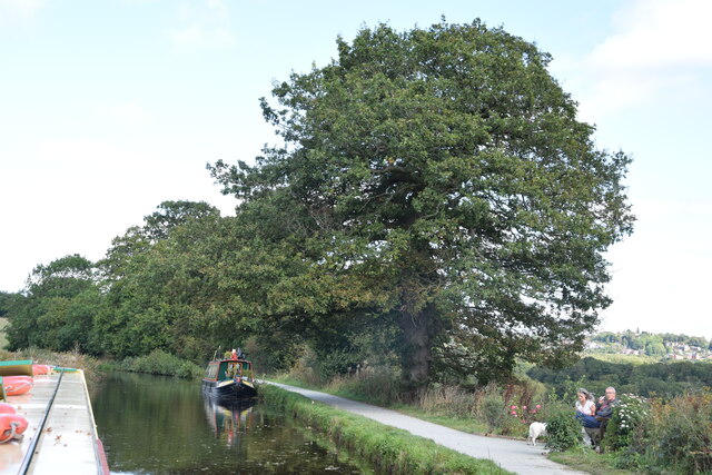
The surrounding countryside offers ample opportunities for outdoor activities such as hiking, cycling, and fishing. The nearby Clwydian Range and Dee Valley Area of Outstanding Natural Beauty is a haven for nature enthusiasts, with its diverse wildlife and stunning landscapes. Visitors can also explore historical sites like the nearby medieval town of Denbigh, which boasts a rich history and a well-preserved castle.
Overall, Tref-y-nant is a hidden gem in Denbighshire, offering a serene and idyllic setting for those seeking a peaceful escape amidst nature's beauty.
If you have any feedback on the listing, please let us know in the comments section below.
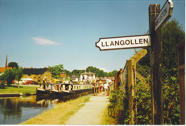
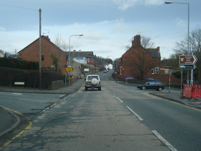
Tref-y-nant Images
Images are sourced within 2km of 52.978755/-3.0852648 or Grid Reference SJ2742. Thanks to Geograph Open Source API. All images are credited.


Tref-y-nant is located at Grid Ref: SJ2742 (Lat: 52.978755, Lng: -3.0852648)
Unitary Authority: Wrexham
Police Authority: North Wales
What 3 Words
///slogged.cello.asleep. Near Ruabon, Wrexham
Nearby Locations
Related Wikis
Trevor, Wrexham
Trevor (Welsh: Trefor) is a village in Wrexham County Borough, Wales. It is situated in the scenic Vale of Llangollen, on the A539 between Llangollen and...

Trevor railway station
Trevor railway station was formerly a station on the Ruabon to Barmouth Line in north-east Wales. The line was double track between Ruabon and Llangollen...
Ruabon Brook Tramway
The Ruabon Brook Tramway (also known as Jessop's Tramway, and in its later years as the Shropshire Union Tramway) was a Welsh horse-drawn tramway linking...
Acrefair
Acrefair (Welsh: Acre-fair; [ˌakrɛˈvɑɪr] ) is a village in Wrexham County Borough, north-east Wales, in the community of Cefn. It was formerly part of...

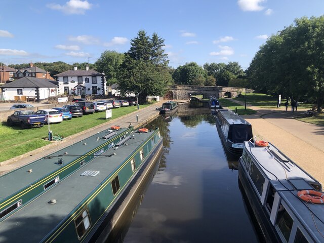
Trevor Basin
Trevor Basin is a canal basin on the Llangollen Canal, situated near Trevor, Wrexham County Borough, Wales, in between Llangollen and Ruabon. The basin...

Acrefair railway station
Acrefair railway station (Welsh pronunciation: [ˌakrɛˈvɑɪr] ak-REH-vire) was a former station on the Ruabon–Barmouth line in North East Wales. It closed...

Cefn Mawr
Cefn Mawr (Welsh: Cefn-mawr; ) is a village in the community of Cefn within Wrexham County Borough, Wales. Its name translates as "big ridge". The population...

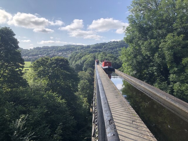
Pontcysyllte Aqueduct
The Pontcysyllte Aqueduct (Welsh pronunciation: [ˌpɔntkəˈsəɬtɛ]; Welsh: Traphont Ddŵr Pontcysyllte) is a navigable aqueduct that carries the Llangollen...
Nearby Amenities
Located within 500m of 52.978755,-3.0852648Have you been to Tref-y-nant?
Leave your review of Tref-y-nant below (or comments, questions and feedback).