Loch of Braehoulland
Lake, Pool, Pond, Freshwater Marsh in Shetland
Scotland
Loch of Braehoulland
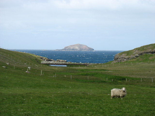
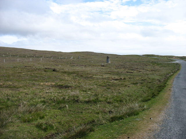
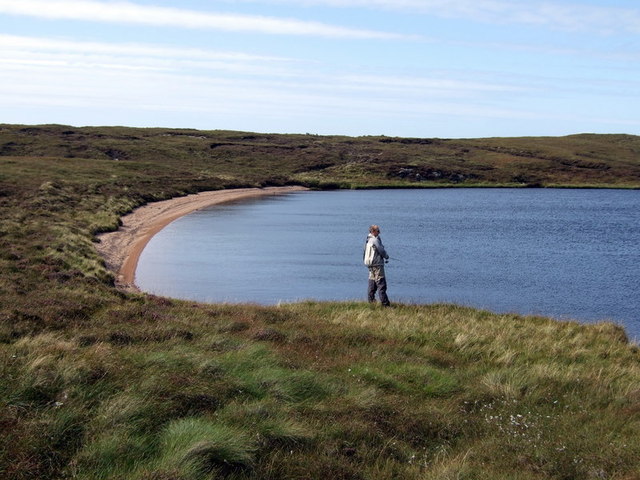
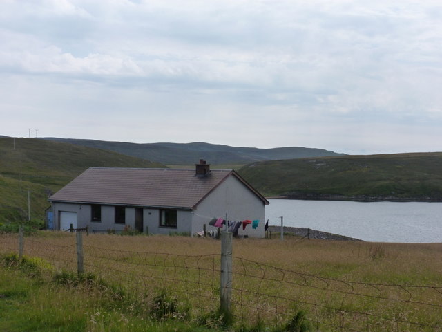
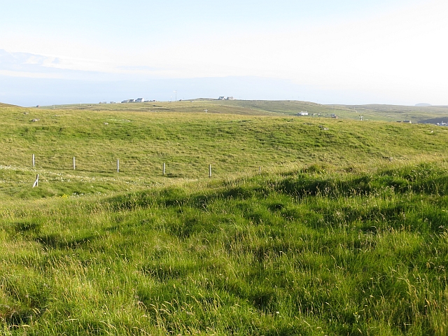
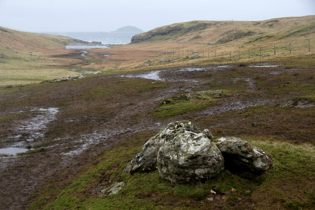
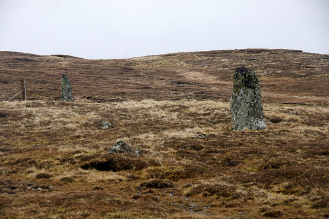
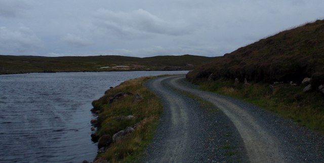
Loch of Braehoulland is a freshwater loch located in the Shetland Islands, Scotland. It is situated on the west side of the island of Yell, within the Braehoulland National Nature Reserve. Spanning an area of approximately 15 hectares, the loch is surrounded by a diverse landscape of moorland, heath, and peat bog.
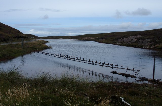
The Loch of Braehoulland is known for its rich biodiversity, making it a significant site for conservation. It is home to a wide variety of plant and animal species, including several rare and protected species. The loch and its surrounding wetlands support an array of waterfowl, such as tufted ducks, teal, and wigeons, which thrive in the marshy areas and the open water.
The loch's water is mainly fed by rainfall and small streams, resulting in a relatively constant water level throughout the year. The water is generally clear and supports a range of aquatic vegetation, including reeds and water lilies. This vegetation provides important habitat and food sources for many species of fish and invertebrates.
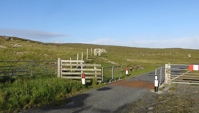
The Loch of Braehoulland offers a tranquil setting for outdoor enthusiasts and nature lovers. Visitors can enjoy activities such as birdwatching, fishing, and walking along the shores. The surrounding area also provides stunning views of the surrounding landscape, with rolling hills and rugged cliffs in the distance.
Overall, Loch of Braehoulland is a picturesque and ecologically significant freshwater loch, offering a glimpse into the rich natural heritage of the Shetland Islands.
If you have any feedback on the listing, please let us know in the comments section below.
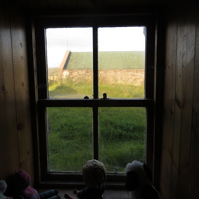
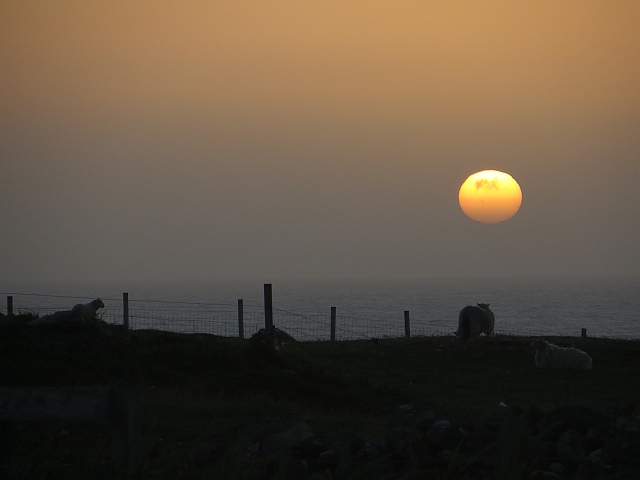
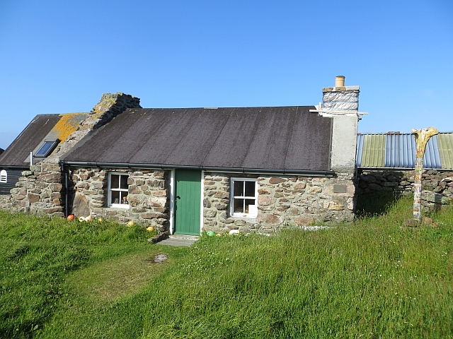
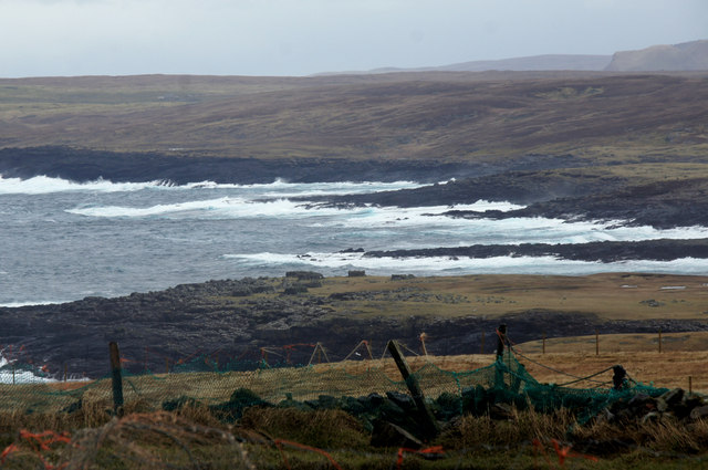
Loch of Braehoulland Images
Images are sourced within 2km of 60.498428/-1.5574528 or Grid Reference HU2479. Thanks to Geograph Open Source API. All images are credited.
Loch of Braehoulland is located at Grid Ref: HU2479 (Lat: 60.498428, Lng: -1.5574528)
Unitary Authority: Shetland Islands
Police Authority: Highlands and Islands
What 3 Words
///whiplash.decorator.energy. Near Brae, Shetland Islands
Nearby Locations
Related Wikis

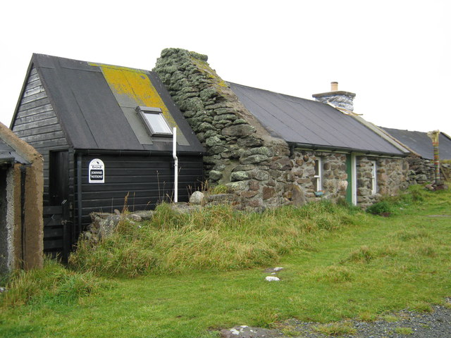
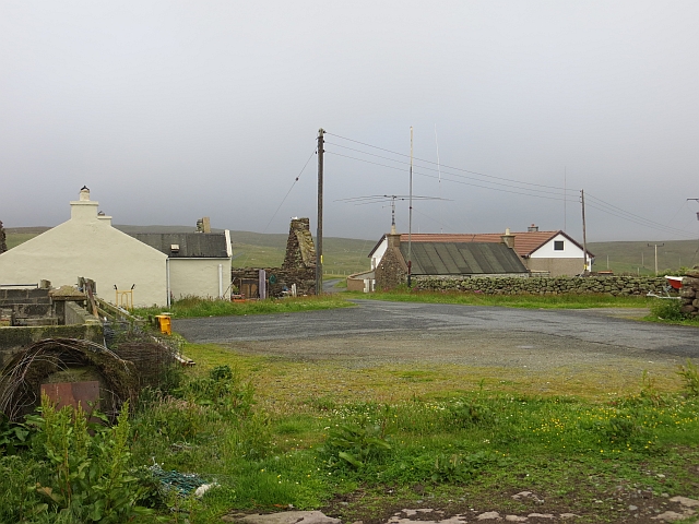
Braehoulland
Braehoulland is a hamlet on Mainland, in Shetland, Scotland. Braehoulland is situated within the parish of Northmaven. Eshaness Community Centre is located...

Johnnie Notions
John Williamson (c. 1730 – c. 1803), more commonly known by the nickname Johnnie Notions (pronounced [ˌdʒoni ˈnoʃəns], JOH-nee-NOH-shəns) was a self-taught...

Esha Ness
Esha Ness, also spelled Eshaness, is a peninsula on the west coast of Northmavine, on the island of Mainland, Shetland, Scotland. Esha Ness Lighthouse...

Tangwick Haa
Tangwick Haa is an historic house and museum in Esha Ness, Northmavine, Shetland. The building has two stories in a rectangular layout and along with the...
Nearby Amenities
Located within 500m of 60.498428,-1.5574528Have you been to Loch of Braehoulland?
Leave your review of Loch of Braehoulland below (or comments, questions and feedback).